Townsend Wood
Wood, Forest in Wiltshire
England
Townsend Wood
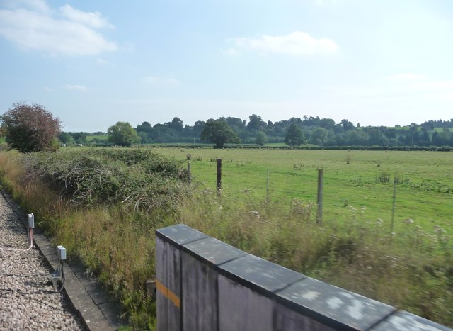
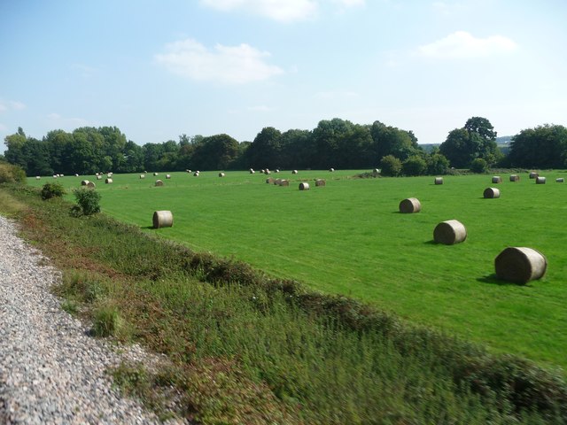
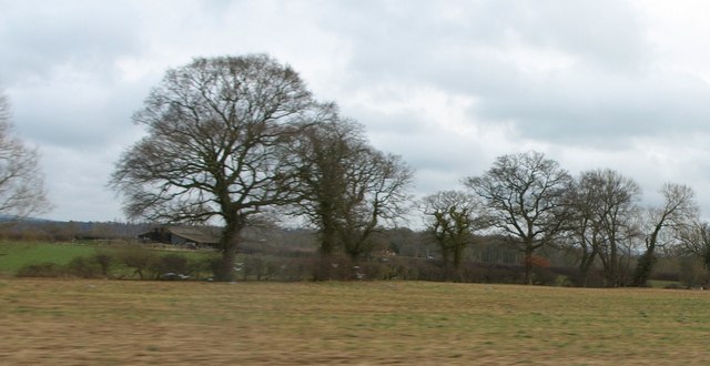
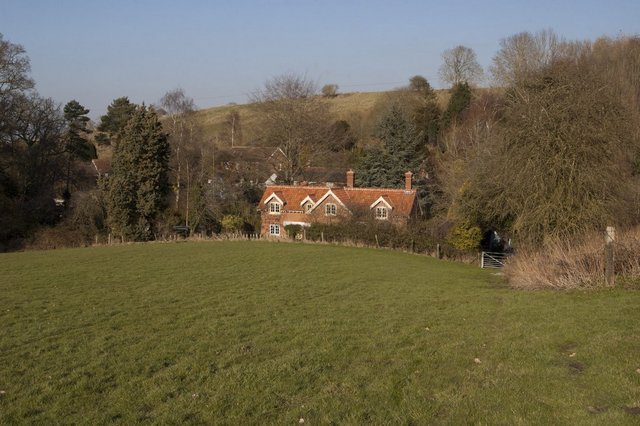
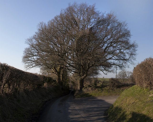
Townsend Wood is a picturesque woodland located in the county of Wiltshire, England. Covering an area of approximately 100 acres, it is known for its natural beauty and diverse wildlife. The wood is situated near the village of Townsend, offering a peaceful and serene environment for visitors.
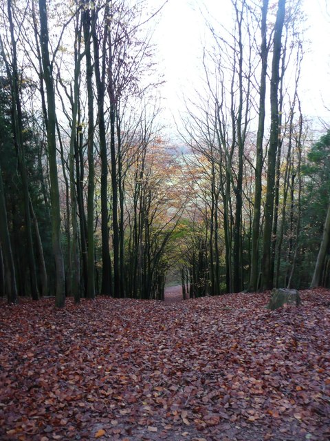
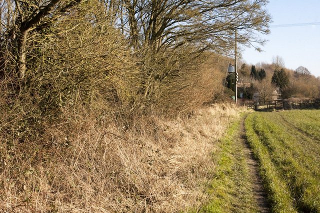
The woodland is predominantly composed of broadleaf trees, including oak, ash, and beech, which create a dense canopy providing shade and shelter to a variety of flora and fauna. The forest floor is covered with a rich carpet of moss and ferns, adding to the enchanting atmosphere.
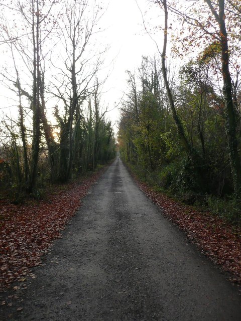
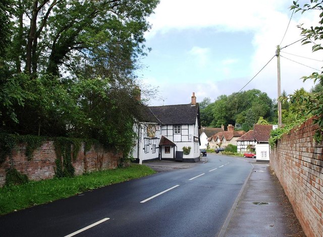
Townsend Wood boasts a network of well-maintained footpaths and trails, making it an ideal destination for nature enthusiasts, walkers, and hikers. Visitors can explore the wood at their own pace, immersing themselves in the tranquil surroundings and enjoying the sights and sounds of nature. The wood also features a small stream that meanders through its heart, further enhancing its natural charm.
The woodland is home to a diverse range of wildlife, including deer, squirrels, badgers, and a plethora of bird species. Birdwatchers can spot woodpeckers, owls, and various songbirds, while lucky visitors may even catch a glimpse of the elusive red kite soaring above the treetops.
Townsend Wood is open to the public year-round, providing a sanctuary for those seeking solace in nature. Whether it's a leisurely stroll, a picnic amidst the trees, or an opportunity to observe wildlife in its natural habitat, Townsend Wood offers a memorable experience for all who venture into its embrace.
If you have any feedback on the listing, please let us know in the comments section below.
Townsend Wood Images
Images are sourced within 2km of 51.283577/-2.0347353 or Grid Reference ST9753. Thanks to Geograph Open Source API. All images are credited.

![Russell Mill & Strawberry Hill Walk [27] Wheatfield west of track WLAV9, south of B3098.](https://s0.geograph.org.uk/geophotos/03/99/88/3998840_c2ce8dcf.jpg)
Townsend Wood is located at Grid Ref: ST9753 (Lat: 51.283577, Lng: -2.0347353)
Unitary Authority: Wiltshire
Police Authority: Wiltshire
What 3 Words
///romantics.overtones.prominent. Near Erlestoke, Wiltshire
Nearby Locations
Related Wikis

HM Prison Erlestoke
HM Prison Erlestoke is a Category C men's prison, to the east of the village of Erlestoke in Wiltshire, England. Erlestoke is operated by His Majesty's...
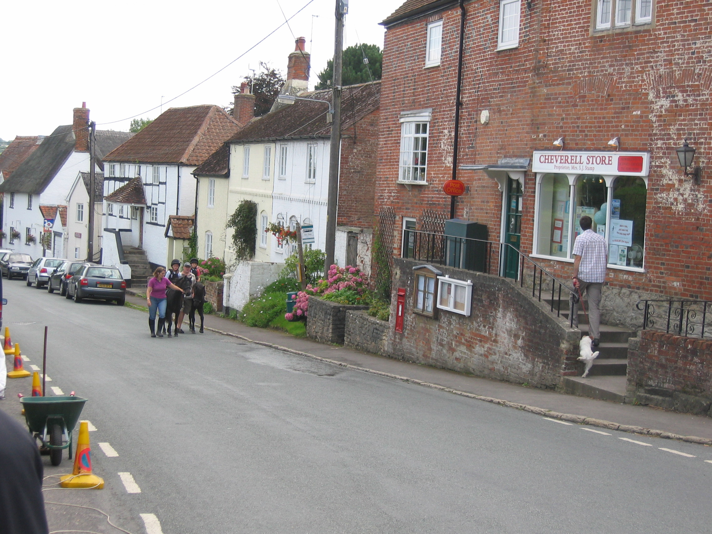
Great Cheverell
Great Cheverell is a village and civil parish in Wiltshire, England, 5 miles (8.0 km) south of Devizes. In some sources the Latinized name of Cheverell...
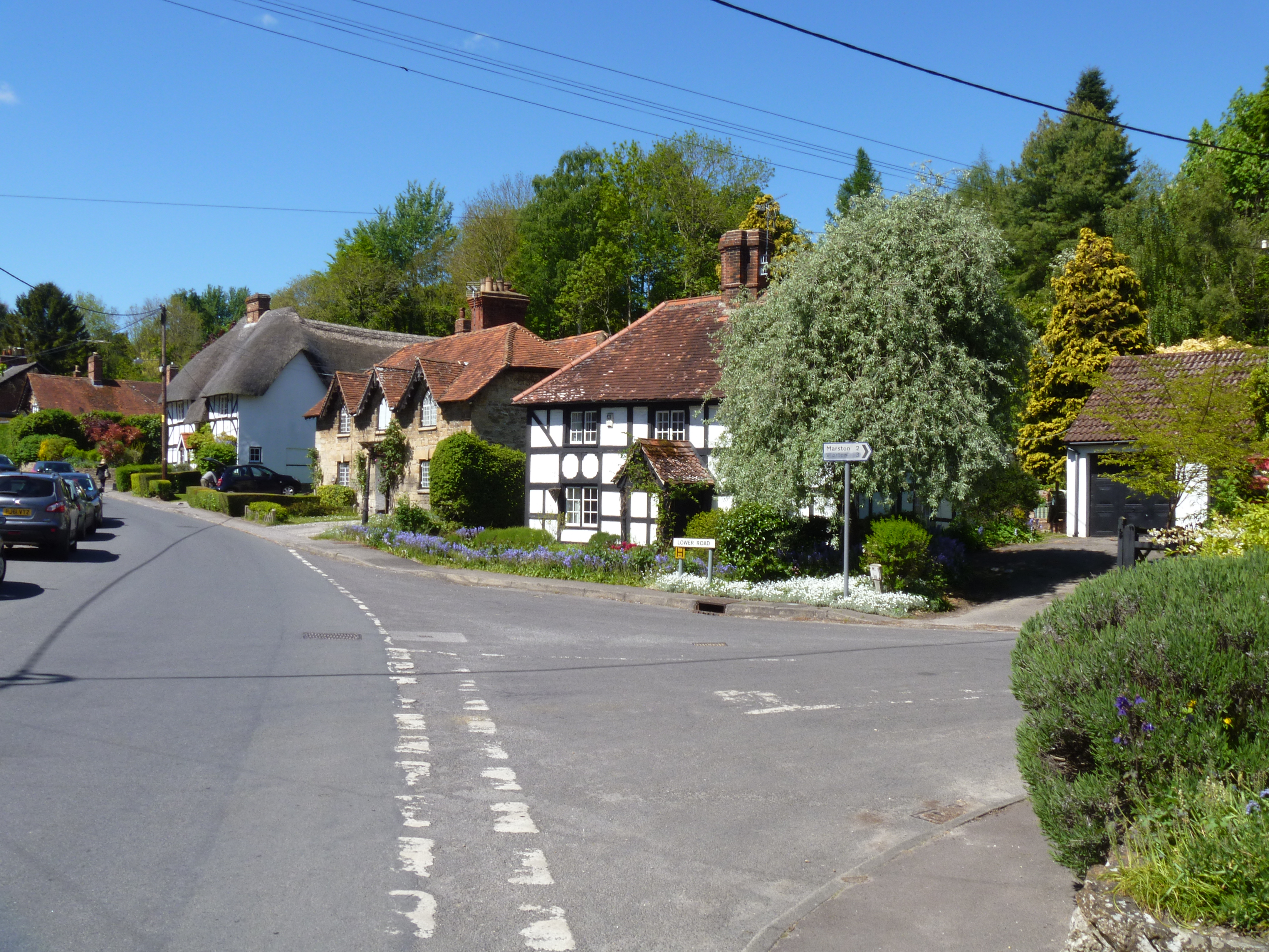
Erlestoke
Erlestoke is a village and civil parish in Wiltshire, England, on the northern edge of Salisbury Plain. The village lies about 6 miles (10 km) east of...

Little Cheverell
Little Cheverell is a small village and civil parish in Wiltshire, England. In some sources the Latinized name of Cheverell Parva is used, especially when...

Great Cheverell Hill
Great Cheverell Hill (grid reference ST966520) is a 33.2 hectare biological Site of Special Scientific Interest at Great Cheverell in Wiltshire, notified...

Wessex Ridgeway
The Wessex Ridgeway is a long-distance footpath in southwest England. It runs 136 miles (219 km) from Marlborough in Wiltshire to Lyme Regis in Dorset...
Baynton House
Baynton House is a Grade II listed 17th-century country house at Coulston, Wiltshire, England, about 5 miles (8 km) northeast of the town of Westbury....

Coulston
Coulston (until 1934 called East Coulston) is a village and civil parish in Wiltshire, England, five miles northeast of the town of Westbury, just north...
Nearby Amenities
Located within 500m of 51.283577,-2.0347353Have you been to Townsend Wood?
Leave your review of Townsend Wood below (or comments, questions and feedback).