Chartridge
Civil Parish in Buckinghamshire
England
Chartridge
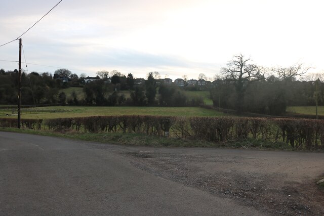
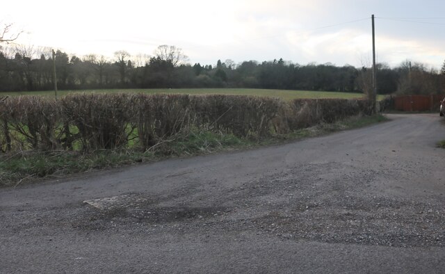
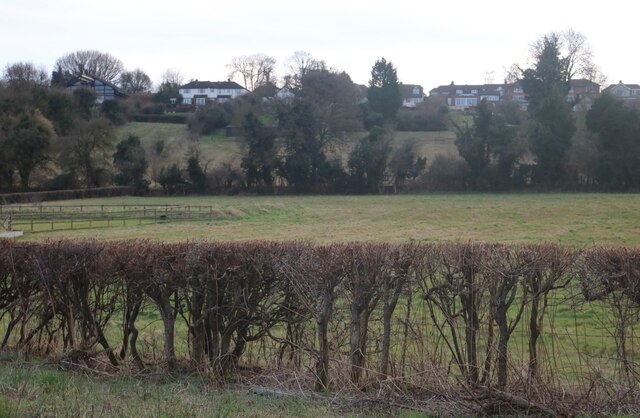
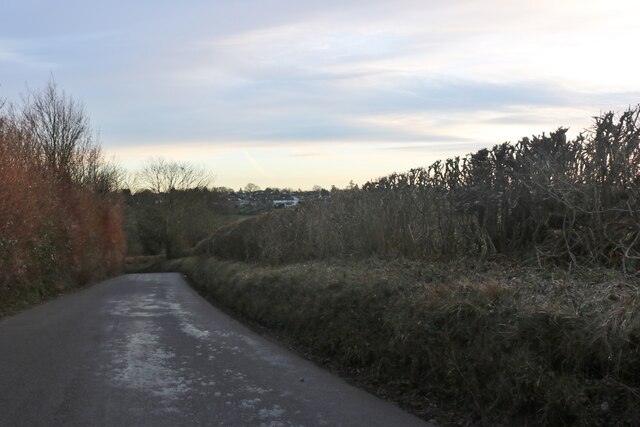
Chartridge is a civil parish located in the county of Buckinghamshire, England. It is situated about two miles southeast of the town of Chesham and covers an area of approximately 1,200 acres. The parish is part of the Chiltern Hills, an Area of Outstanding Natural Beauty, and is surrounded by picturesque countryside.
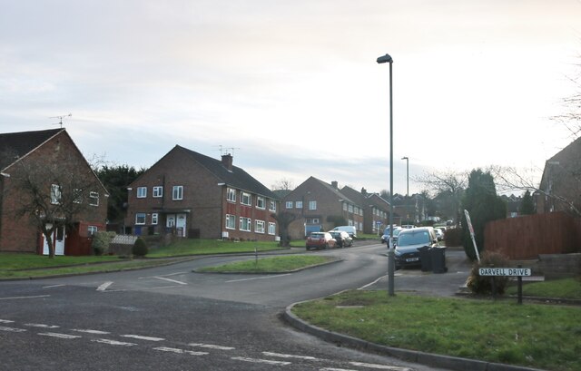
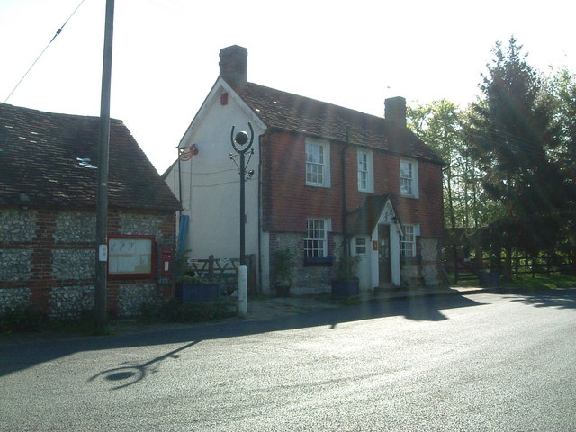
The village of Chartridge itself is a small settlement with a population of around 400 residents. It is known for its charming and traditional architecture, with many of the buildings dating back to the 18th and 19th centuries. The village has a close-knit community and a peaceful atmosphere, making it an attractive place to live.
The parish is primarily residential, with a mix of detached houses, cottages, and farmhouses. The surrounding countryside provides ample opportunities for outdoor activities, such as hiking, cycling, and horse riding. The nearby Chiltern Hills also offer stunning views and scenic walking trails.
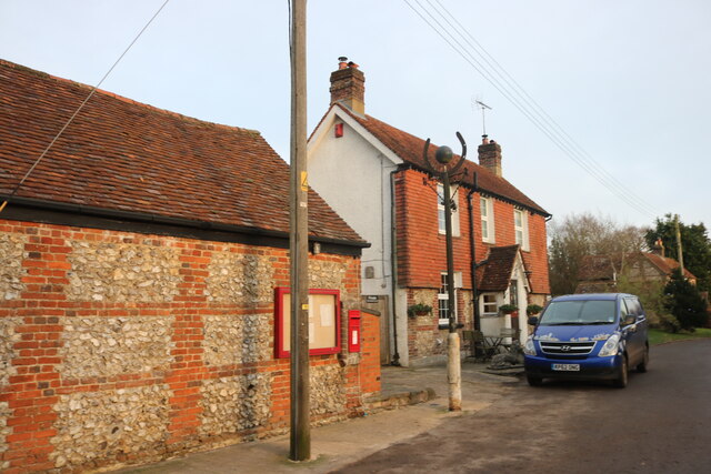
Chartridge has a local pub, The Bellcote, which serves as a social hub for the community. The village does not have its own school or shops, but these amenities can be found in the nearby town of Chesham.
Overall, Chartridge is a tranquil and picturesque parish that offers a peaceful rural lifestyle. Its proximity to the Chiltern Hills and the town of Chesham makes it an ideal location for nature lovers who also appreciate the convenience of nearby amenities.
If you have any feedback on the listing, please let us know in the comments section below.
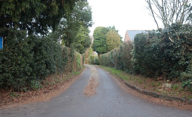
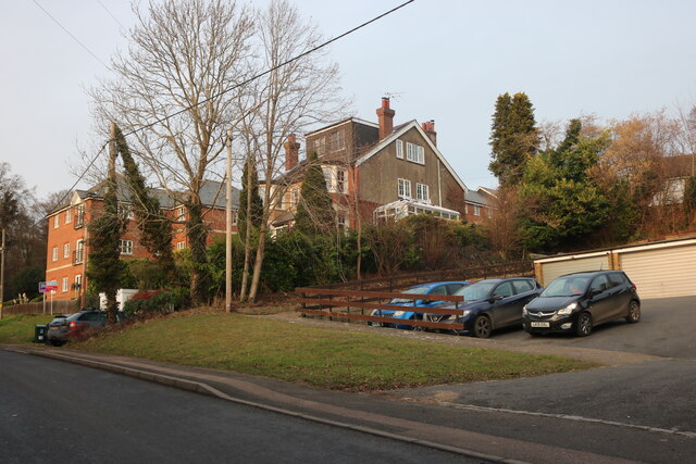
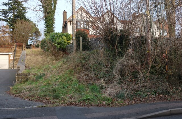
Chartridge Images
Images are sourced within 2km of 51.722655/-0.647401 or Grid Reference SP9303. Thanks to Geograph Open Source API. All images are credited.


Chartridge is located at Grid Ref: SP9303 (Lat: 51.722655, Lng: -0.647401)
Unitary Authority: Buckinghamshire
Police Authority: Thames Valley
What 3 Words
///outlines.parading.films. Near Hyde Heath, Buckinghamshire
Nearby Locations
Related Wikis

Chartridge
Chartridge is a village in Buckinghamshire, England situated 2 miles North West of Chesham. Chartridge is also the name of a civil parish in Chiltern...
Asheridge
Asheridge (recorded Esserugge in the 13th century) is a small hamlet in the parish of Chartridge, in Buckinghamshire, England. Prior to 1898 it was part...

Pednor
Pednor is a hamlet in the parish of Chartridge, in Buckinghamshire, England. It is located in the Chiltern Hills two miles northwest of Chesham and seven...

Pednor House
Pednor House (formerly known as Little Pednor) is a house near Chartridge parish of Buckinghamshire. It has been listed Grade II on the National Heritage...
Nearby Amenities
Located within 500m of 51.722655,-0.647401Have you been to Chartridge?
Leave your review of Chartridge below (or comments, questions and feedback).