Charlton (Brinkworth Ward)
Civil Parish in Wiltshire
England
Charlton (Brinkworth Ward)
Charlton, located in the Brinkworth Ward of Wiltshire, is a civil parish in the southwestern part of England. Situated approximately 4 miles northeast of Malmesbury, it covers an area of about 2.8 square miles and is home to a population of around 400 residents.
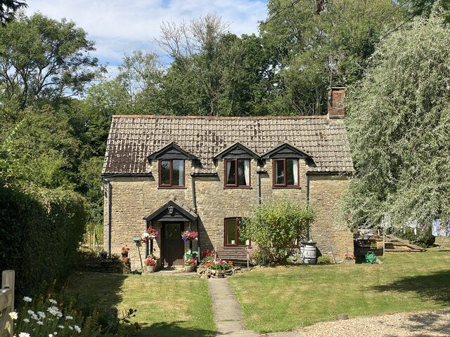
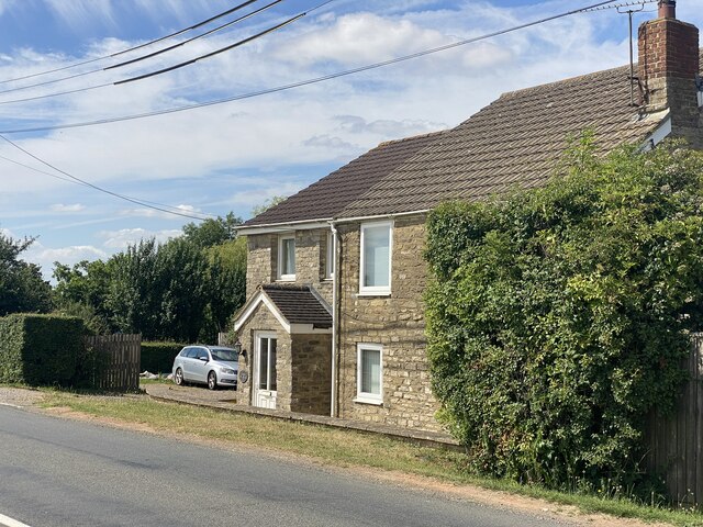
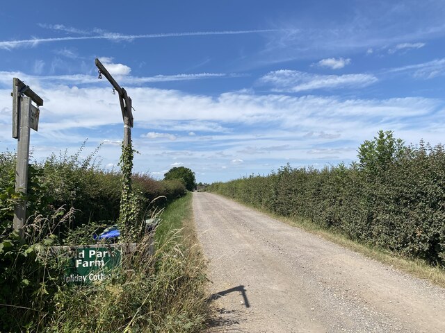
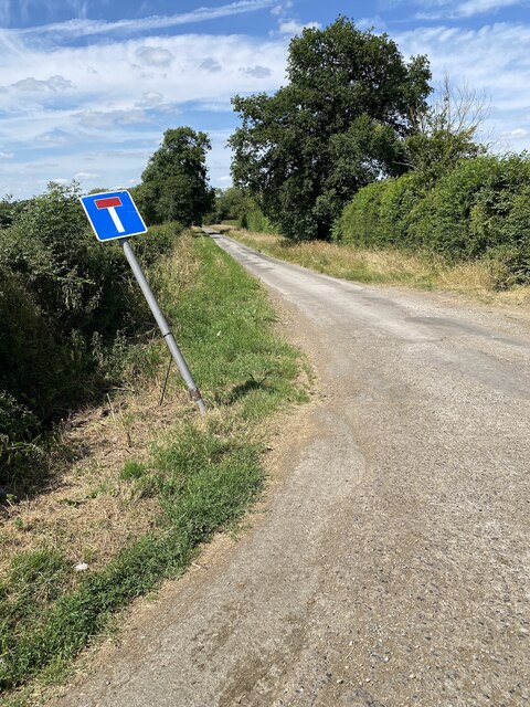
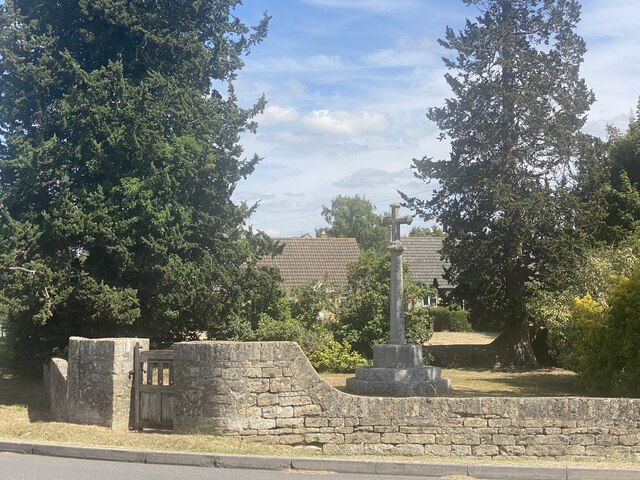
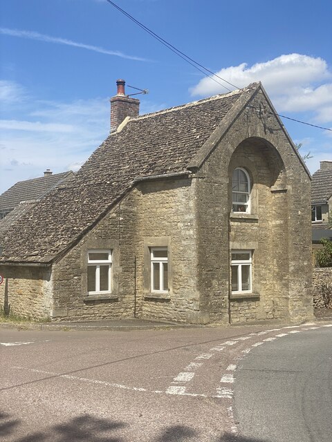
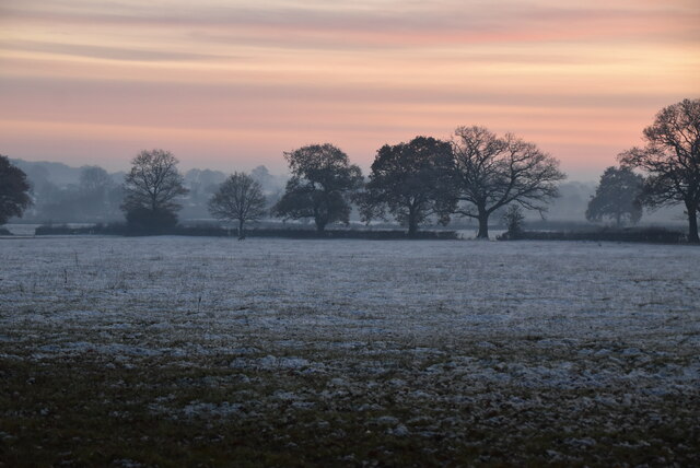
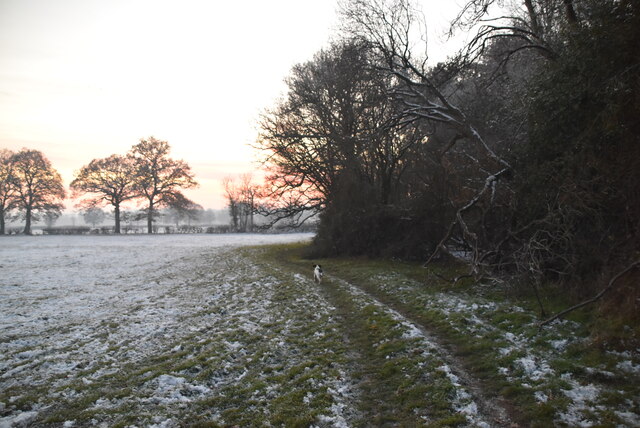
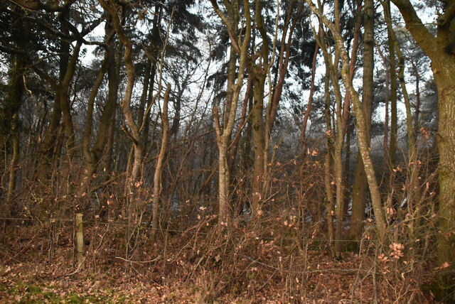
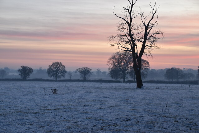
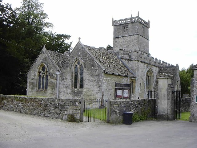
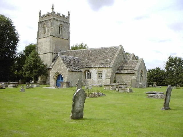
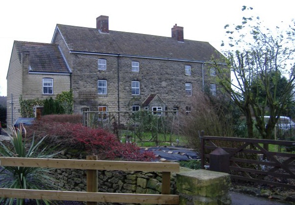
Charlton is a predominantly rural area with a picturesque landscape, characterized by rolling hills, open fields, and charming countryside views. The village itself is small and compact, consisting mainly of residential dwellings, some dating back to the 17th century. The architectural style is reflective of the traditional English countryside, with many buildings constructed from local Cotswold stone.
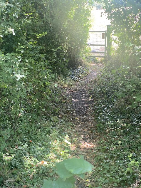
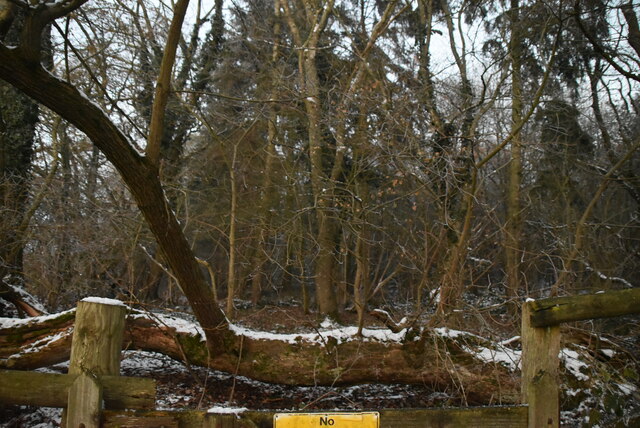
Despite its small size, Charlton has a strong sense of community, with various local amenities and facilities that cater to the needs of its residents. These include a village hall, a primary school, a post office, and a local pub, which serves as a popular gathering spot for locals and visitors alike. The village also has a number of footpaths and public rights of way, allowing residents to explore the surrounding countryside and enjoy recreational activities such as walking and cycling.
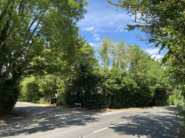
In terms of transportation, Charlton is well-connected to nearby towns and cities. The A429 road runs through the village, providing easy access to Malmesbury and other surrounding areas. Additionally, the village is served by regular bus services, allowing residents to travel to nearby towns for shopping, work, or leisure activities.
Overall, Charlton offers a tranquil and idyllic setting for those seeking a peaceful rural lifestyle, surrounded by natural beauty and a close-knit community.
If you have any feedback on the listing, please let us know in the comments section below.
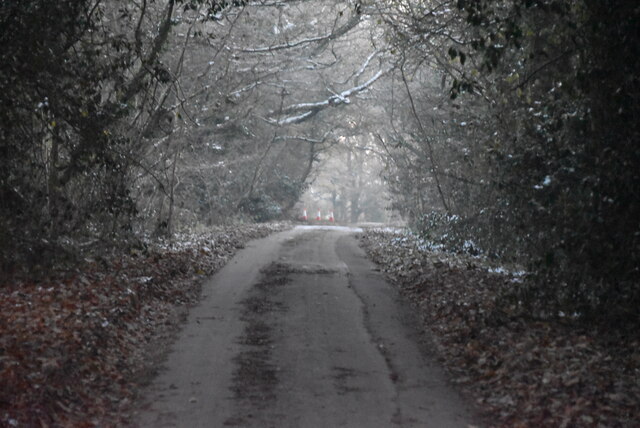
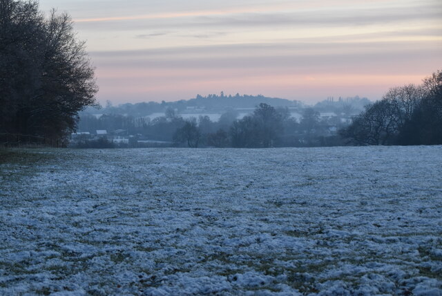
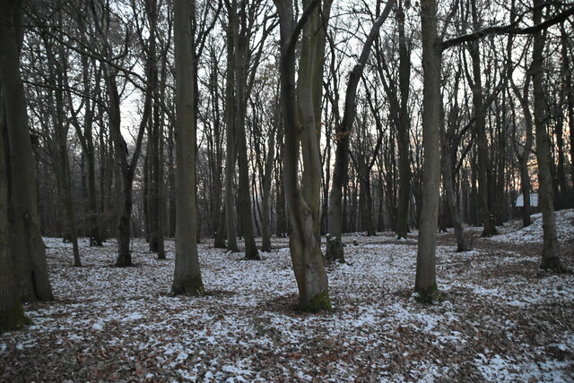
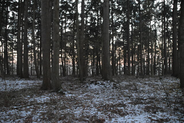
Charlton (Brinkworth Ward) Images
Images are sourced within 2km of 51.598667/-2.028165 or Grid Reference ST9888. Thanks to Geograph Open Source API. All images are credited.

Charlton (Brinkworth Ward) is located at Grid Ref: ST9888 (Lat: 51.598667, Lng: -2.028165)
Unitary Authority: Wiltshire
Police Authority: Wiltshire
What 3 Words
///vertical.tricycle.openly. Near Charlton, Wiltshire
Nearby Locations
Related Wikis

Cloatley Manor Farm Meadows
Cloatley Manor Farm Meadows (grid reference ST981910) is a 12.1 hectare biological Site of Special Scientific Interest in Wiltshire, notified in 1997....
Charlton, Brinkworth
Charlton is a village and civil parish in North Wiltshire, England, about 2 miles (3 km) northeast of Malmesbury and 4 miles (6.4 km) northwest of the...
Hankerton
Hankerton is a village and civil parish in Wiltshire, England, 3 miles (4.8 km) northeast of Malmesbury. The parish includes the hamlets of Cloatley, Cloatley...

Charlton Park, Wiltshire
Charlton Park is a country house and estate in Wiltshire, England, 2 miles (3.2 km) northeast of the town of Malmesbury. Charlton Park House is a Grade...
Emmett Hill Meadows
Emmett Hill Meadows (grid reference SU009901) is a 5.1 hectare biological Site of Special Scientific Interest in Wiltshire, notified in 1987. The site...

Lea, Wiltshire
Lea is a village in Wiltshire, England, lying approximately 1.5 miles (2.4 km) east of Malmesbury. It is part of the civil parish of Lea and Cleverton...
WOMAD Charlton Park
WOMAD Charlton Park or WOMAD UK is the name given to the World of Music Arts and Dance (WOMAD) festival held in Charlton Park near Malmesbury, Wiltshire...
Milbourne, Wiltshire
Milbourne is a hamlet on the eastern edge of Malmesbury, Wiltshire, England. It is within the civil parish of St Paul Malmesbury Without. The hamlet consists...
Nearby Amenities
Located within 500m of 51.598667,-2.028165Have you been to Charlton (Brinkworth Ward)?
Leave your review of Charlton (Brinkworth Ward) below (or comments, questions and feedback).