Chalgrove
Civil Parish in Oxfordshire South Oxfordshire
England
Chalgrove

Chalgrove is a civil parish located in the county of Oxfordshire, England. Situated approximately 10 miles southeast of Oxford, the village is nestled in the picturesque countryside and offers a tranquil and idyllic setting.
The parish covers an area of around 9 square miles and is home to a population of approximately 3,000 residents. Chalgrove boasts a rich history, with evidence of human habitation dating back to the Iron Age. The village flourished during the medieval period, mainly due to its strategic location on the road between London and Oxford.
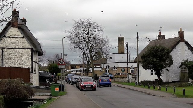
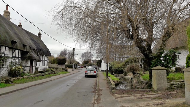
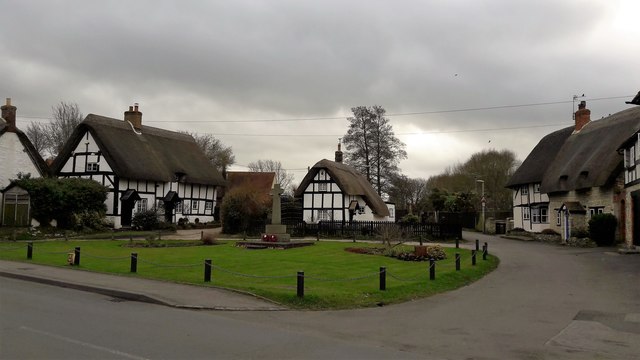
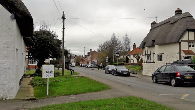
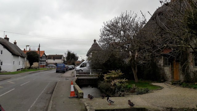
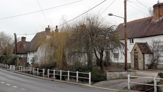
Today, Chalgrove retains its historic charm, with several well-preserved buildings and landmarks. The parish church of St. Mary the Virgin, a Grade I listed building, is a notable feature, showcasing stunning architecture and providing a glimpse into the village's past. The Chalgrove Manor House, a 17th-century manor, is another key attraction, offering visitors a glimpse into the area's architectural heritage.
In terms of amenities, Chalgrove offers a range of facilities to cater to the needs of its residents. The village has a primary school, a post office, a convenience store, and a few pubs. For outdoor enthusiasts, there are ample opportunities for countryside walks and exploration of the surrounding landscapes.
Transport links in Chalgrove are well-established, with regular bus services connecting the village to Oxford and other nearby towns. Additionally, the M40 motorway is easily accessible, providing convenient connections to London and other parts of the country.
Overall, Chalgrove is a charming and historic village that offers a peaceful and close-knit community, making it an attractive place to live or visit for those seeking a rural retreat.
If you have any feedback on the listing, please let us know in the comments section below.
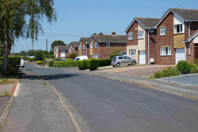
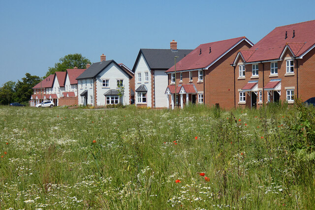
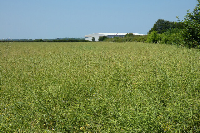
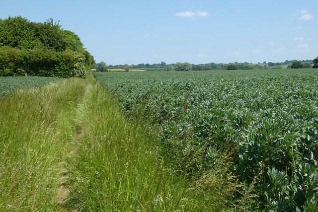
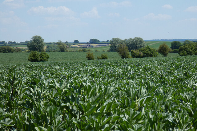
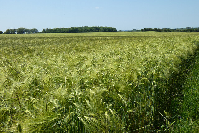
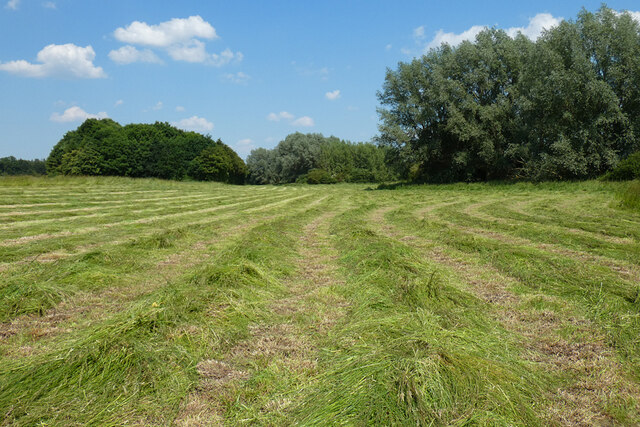
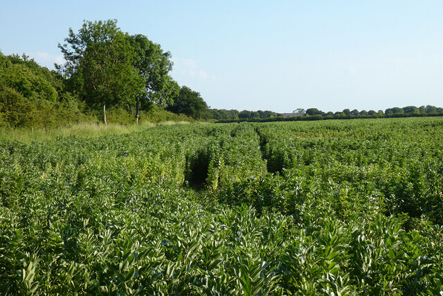
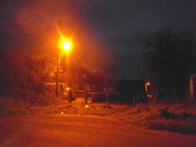
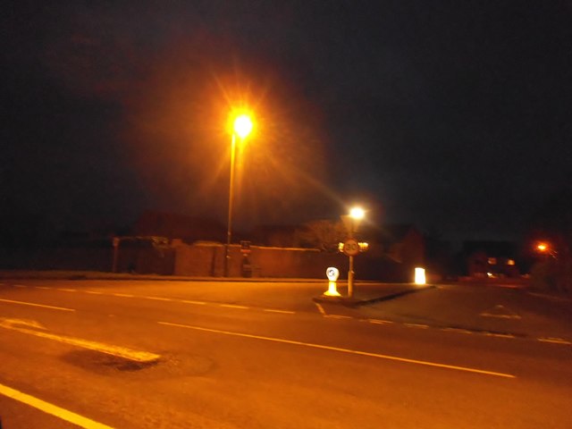
Chalgrove Images
Images are sourced within 2km of 51.67333/-1.077772 or Grid Reference SU6397. Thanks to Geograph Open Source API. All images are credited.

Chalgrove is located at Grid Ref: SU6397 (Lat: 51.67333, Lng: -1.077772)
Administrative County: Oxfordshire
District: South Oxfordshire
Police Authority: Thames Valley
What 3 Words
///terms.emotional.nourished. Near Chalgrove, Oxfordshire
Nearby Locations
Related Wikis
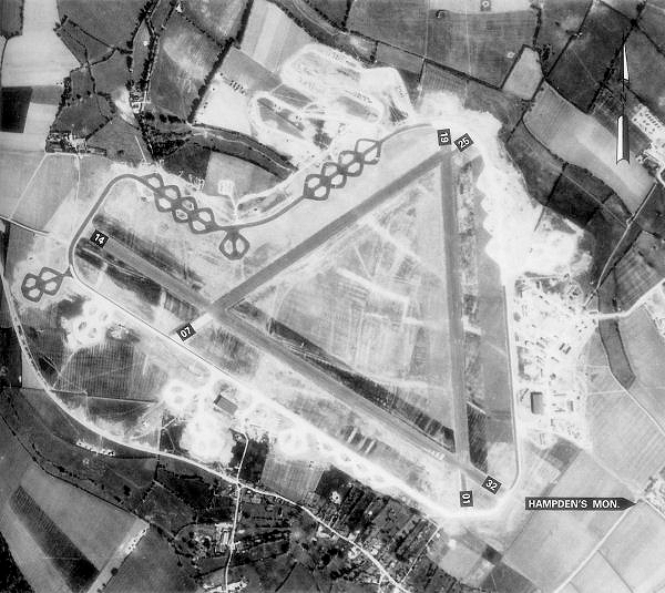
Chalgrove Airfield
Chalgrove Airfield (ICAO: EGLJ) is a former Second World War airfield in Oxfordshire, England. It is approximately 3 mi (4.8 km) north-northeast of Benson...

Chalgrove
Chalgrove is a village and civil parish in South Oxfordshire about 10 miles (16 km) southeast of Oxford. The parish includes the hamlet of Rofford and...

Easington, South Oxfordshire
Easington is a small village in the civil parish of Cuxham with Easington, in the South Oxfordshire district, in the county of Oxfordshire, England. It...

Ascott, Oxfordshire
Ascott is a hamlet and manor house in the English county of Oxfordshire. Ascott lies close to the River Thame north of Dorchester, around about 7 miles...
Nearby Amenities
Located within 500m of 51.67333,-1.077772Have you been to Chalgrove?
Leave your review of Chalgrove below (or comments, questions and feedback).