Chaffcombe
Civil Parish in Somerset South Somerset
England
Chaffcombe
Chaffcombe is a small civil parish located in the county of Somerset, England. Situated in the South West of the country, it is part of the district of South Somerset. The parish covers an area of approximately 5 square kilometers and is home to a population of around 200 residents.
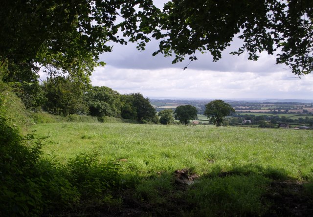
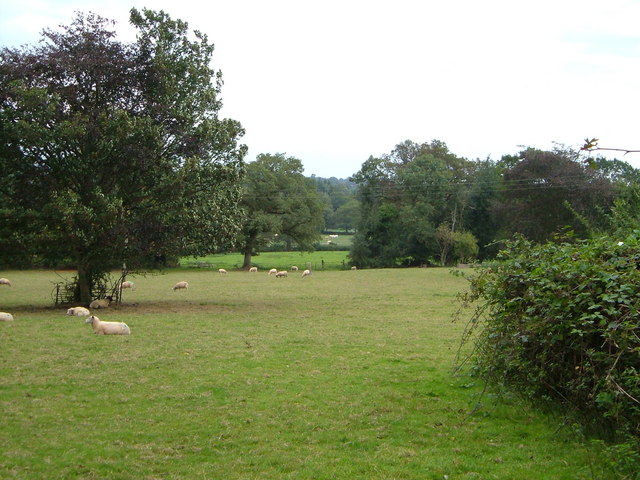
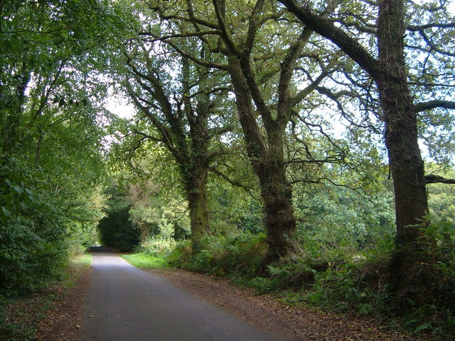
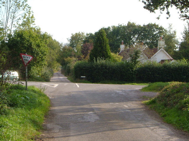
The village of Chaffcombe is nestled in a picturesque rural setting, surrounded by rolling hills and lush green fields. It is characterized by its quaint and charming stone cottages, many of which date back several centuries. The parish is predominantly agricultural, with farming being the primary industry in the area. The fertile soil and favorable climate make it ideal for growing crops such as wheat, barley, and potatoes.
Chaffcombe is also known for its close-knit community and vibrant social scene. The village has a small but active community hall, which hosts various events and gatherings throughout the year. There is also a local pub, providing a place for residents to socialize and enjoy a drink or two.
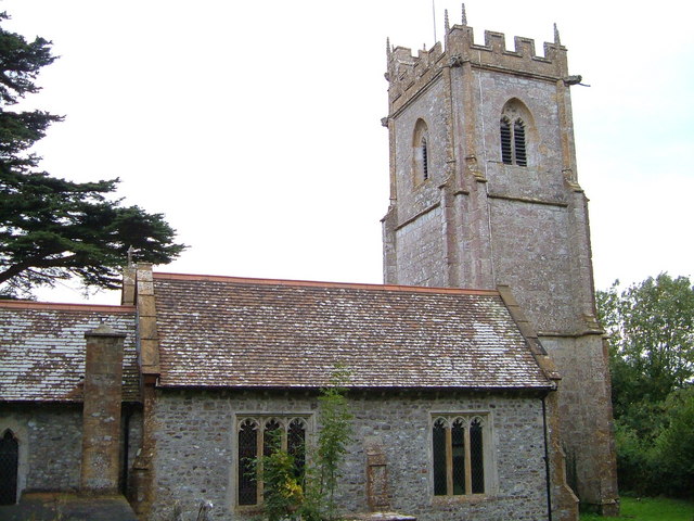
Despite its small size, Chaffcombe boasts a rich history. The parish church of St. Michael and All Angels is a notable landmark, with parts of the building dating back to the 12th century. The church is a focal point for the community, hosting regular services and events.
Overall, Chaffcombe is a peaceful and idyllic rural parish, offering a charming countryside lifestyle for its residents.
If you have any feedback on the listing, please let us know in the comments section below.
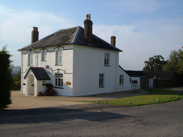
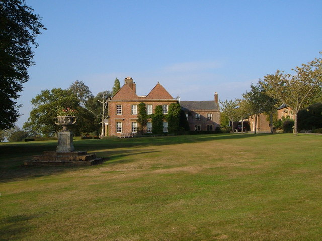
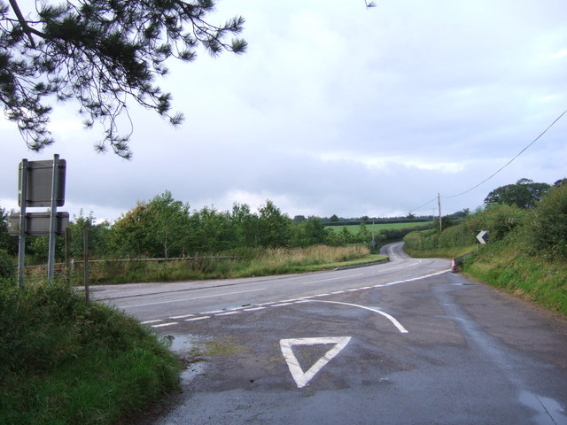
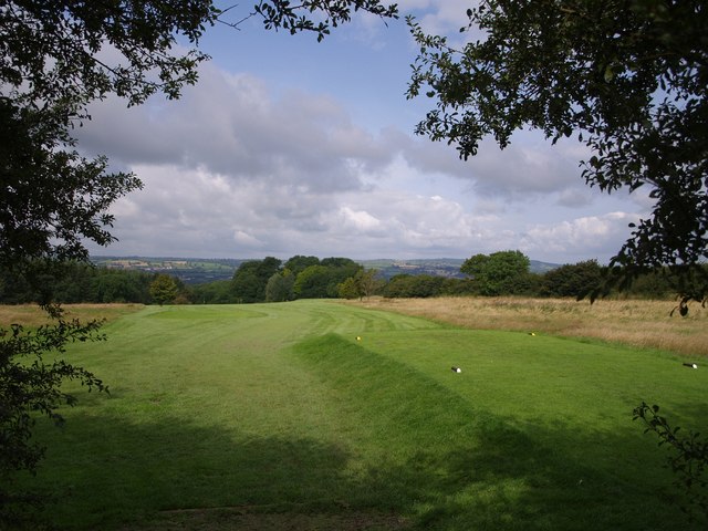
Chaffcombe Images
Images are sourced within 2km of 50.882315/-2.921544 or Grid Reference ST3509. Thanks to Geograph Open Source API. All images are credited.


Chaffcombe is located at Grid Ref: ST3509 (Lat: 50.882315, Lng: -2.921544)
Administrative County: Somerset
District: South Somerset
Police Authority: Avon and Somerset
What 3 Words
///suits.restless.clown. Near Chard, Somerset
Nearby Locations
Related Wikis

Chaffcombe
Chaffcombe is a village and civil parish in Somerset, England, situated 2 miles (3.2 km) north east of Chard in the South Somerset district. The village...
Church of St Michael and All Angels, Chaffcombe
The Anglican Church of St Michael and All Angels in Chaffcombe, Somerset, England was built in the 15th century. It is a Grade II* listed building. �...
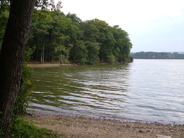
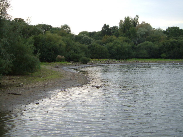
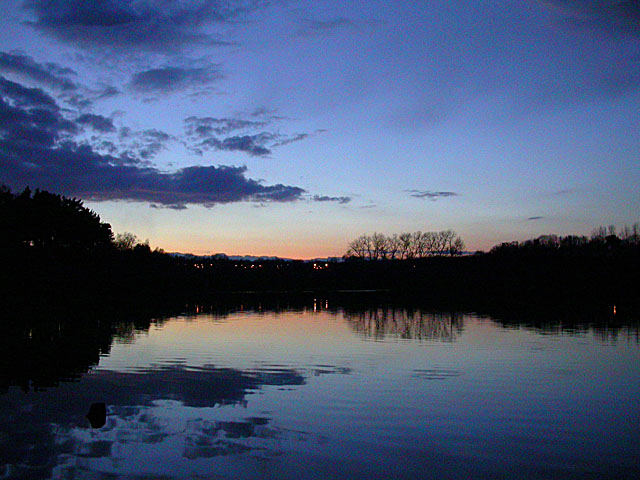
Chard Reservoir
Chard Reservoir is a 36.97-hectare (91.4-acre) reservoir north east of Chard Somerset, England. It is owned and managed by South Somerset District Council...

Knowle St Giles
Knowle St Giles is a village and civil parish in the South Somerset district of Somerset, England, situated on the River Isle 2 miles (3 km) south of Ilminster...

Church of St Mary Magdalene, Cricket Malherbie
The Anglican Church of St Mary Magdalene in Cricket Malherbie, Somerset, England was built in the 12th century and rebuilt in 1855. It is a Grade II* listed...

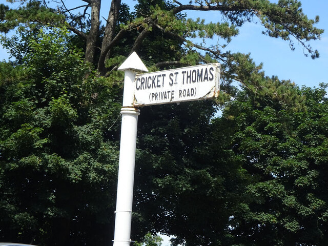
Cricket St Thomas
Cricket St Thomas is a parish in Somerset, England, situated in a valley between Chard and Crewkerne within the South Somerset administrative district...
Church of St Thomas, Cricket St Thomas
The Church of St Thomas in Cricket St Thomas, Somerset, England was built in the 14th century and rebuilt in 1868. It is a Grade II* listed building....
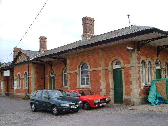
Chard Central railway station
Chard Central railway station was the principal railway station in Chard, Somerset, England. It was opened in 1866 and closed in 1962, during which time...
Have you been to Chaffcombe?
Leave your review of Chaffcombe below (or comments, questions and feedback).