Avishays
Heritage Site in Somerset South Somerset
England
Avishays
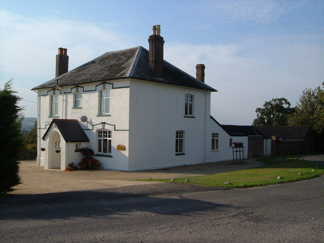
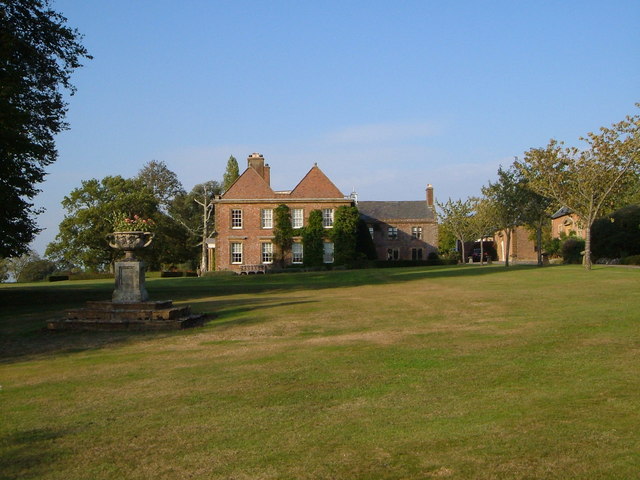
Avishays, Somerset is a significant heritage site located in the county of Somerset, England. It is a well-preserved example of a medieval moated site, dating back to the 14th century. The site is situated in a rural setting, surrounded by picturesque countryside.
The main feature of Avishays is its moat, which encircles a central island that contains the remains of a medieval manor house. The moat is believed to have served both defensive and symbolic purposes, providing protection to the inhabitants while also representing their wealth and status. The moat is still filled with water and is spanned by a small wooden bridge, adding to the site's charm and historical authenticity.
The manor house, although now largely in ruins, offers valuable insights into medieval architecture and domestic life. Visitors can explore the remnants of the building, including the foundations, walls, and a few intact rooms. These structures provide a glimpse into the layout and design of a medieval manor, with its great hall, chambers, and service areas.
Avishays is of great historical importance, as it reflects the social and cultural context of the time. It is believed to have been the residence of a high-ranking noble or wealthy landowner, highlighting the hierarchical nature of medieval society. The site has also yielded archaeological finds, such as pottery shards and fragments of everyday objects, which further enhance our understanding of the period.
Today, Avishays is open to the public, allowing visitors to explore this unique heritage site and learn about its historical significance. Guided tours and information boards provide visitors with detailed insights into the site's history and its medieval inhabitants.
If you have any feedback on the listing, please let us know in the comments section below.
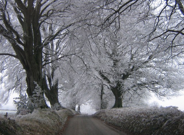
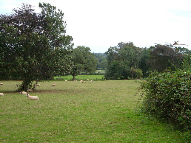
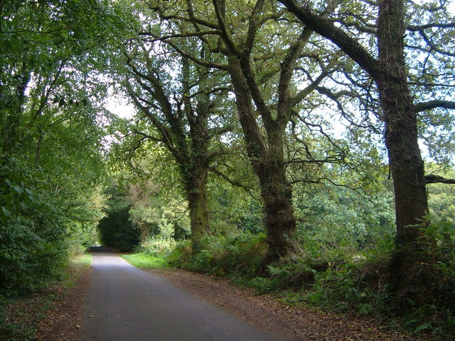
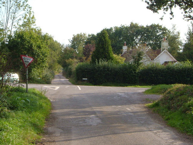
Avishays Images
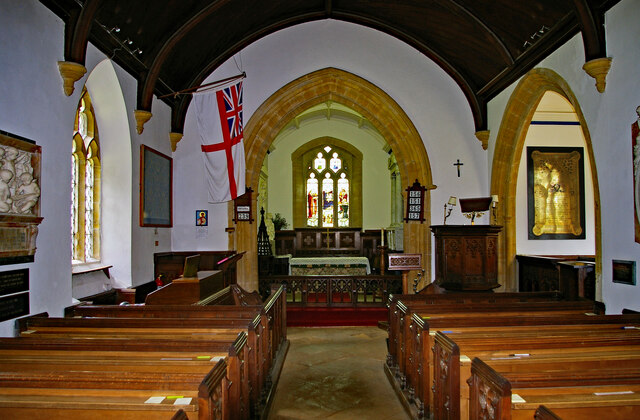
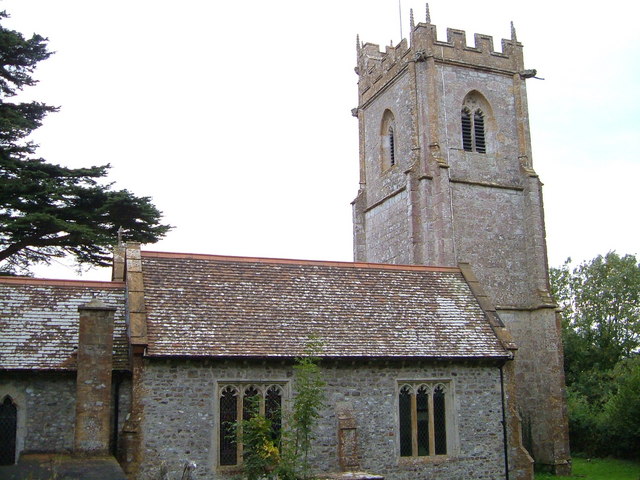
Images are sourced within 2km of 50.88/-2.917 or Grid Reference ST3509. Thanks to Geograph Open Source API. All images are credited.


Avishays is located at Grid Ref: ST3509 (Lat: 50.88, Lng: -2.917)
Administrative County: Somerset
District: South Somerset
Police Authority: Avon and Somerset
What 3 Words
///reworked.animated.inkjet. Near Chard, Somerset
Nearby Locations
Related Wikis

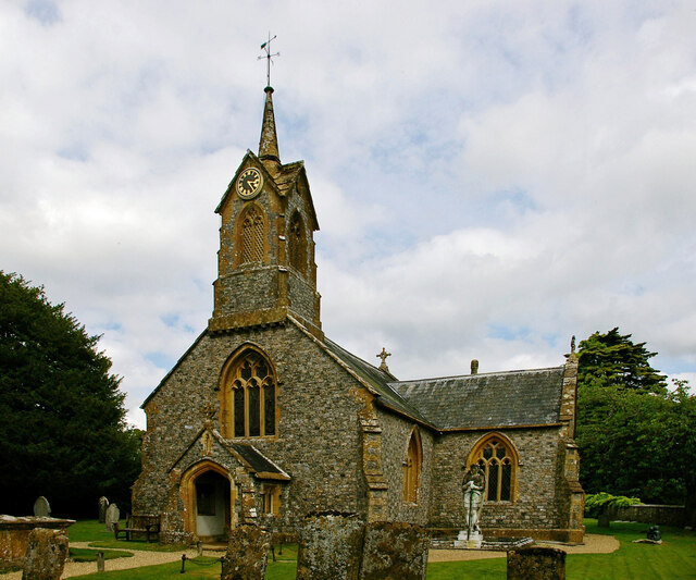
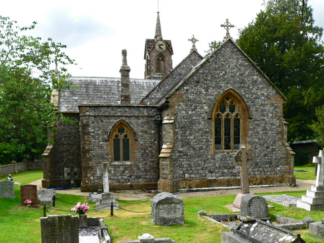
Church of St Michael and All Angels, Chaffcombe
The Anglican Church of St Michael and All Angels in Chaffcombe, Somerset, England was built in the 15th century. It is a Grade II* listed building. �...
Chaffcombe
Chaffcombe is a village and civil parish in Somerset, England, situated 2 miles (3.2 km) north east of Chard in the South Somerset district. The village...

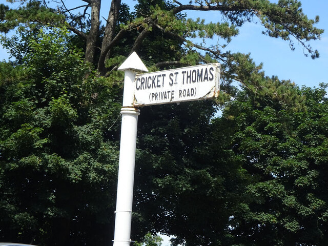
Cricket St Thomas
Cricket St Thomas is a parish in Somerset, England, situated in a valley between Chard and Crewkerne within the South Somerset administrative district...
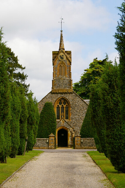
Church of St Thomas, Cricket St Thomas
The Church of St Thomas in Cricket St Thomas, Somerset, England was built in the 14th century and rebuilt in 1868. It is a Grade II* listed building....
Chard Reservoir
Chard Reservoir is a 36.97-hectare (91.4-acre) reservoir north east of Chard Somerset, England. It is owned and managed by South Somerset District Council...

Cudworth, Somerset
Cudworth (English: ) is a village and parish in Somerset, England, situated 5 miles (8.0 km) north east of Chard in the South Somerset district. The village...

Church of St Mary Magdalene, Cricket Malherbie
The Anglican Church of St Mary Magdalene in Cricket Malherbie, Somerset, England was built in the 12th century and rebuilt in 1855. It is a Grade II* listed...

Church of St Michael, Cudworth
The Anglican Church of St Michael in Cudworth, Somerset, England was built in the 12th century. It is a Grade II* listed building. == History == The church...
Have you been to Avishays?
Leave your review of Avishays below (or comments, questions and feedback).