Chaddleworth

Civil Parish in Berkshire

England

Chaddleworth

Gallops at Whatcombe This square basically stud farming and there are many gallops all over the square. These ones, viewed from the road, run across the centre of the square.
Gallops at Whatcombe Credit: Pam Brophy

The requested URL returned error: 429 Too Many Requests

If you have any feedback on the listing, please let us know in the comments section below.
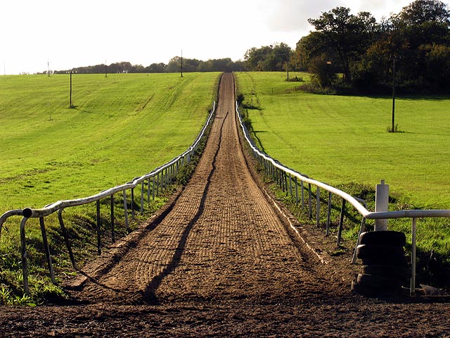
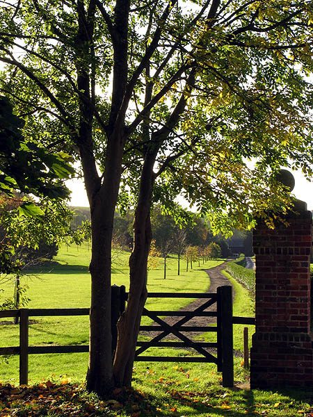
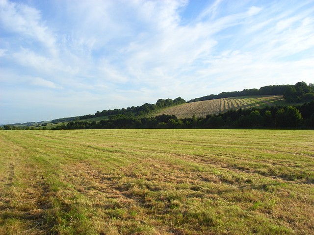
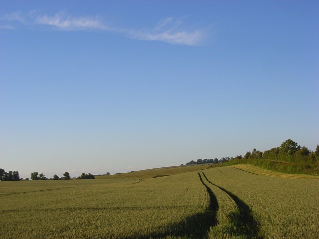
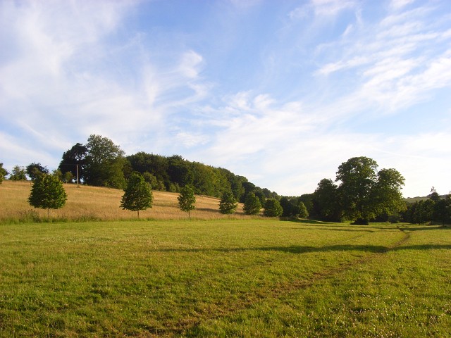
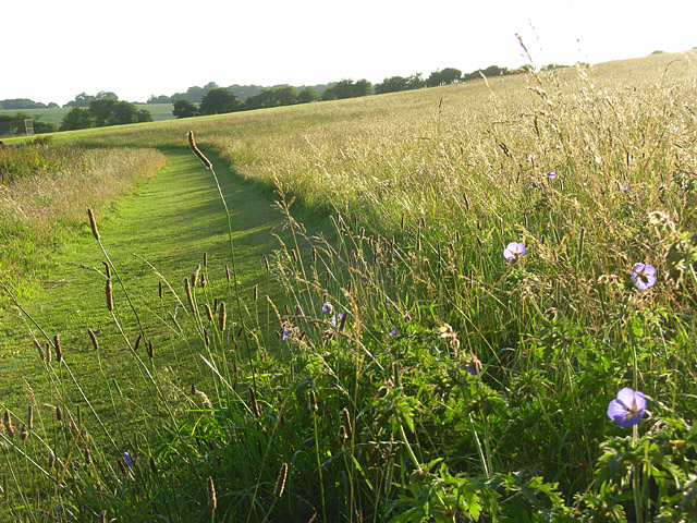
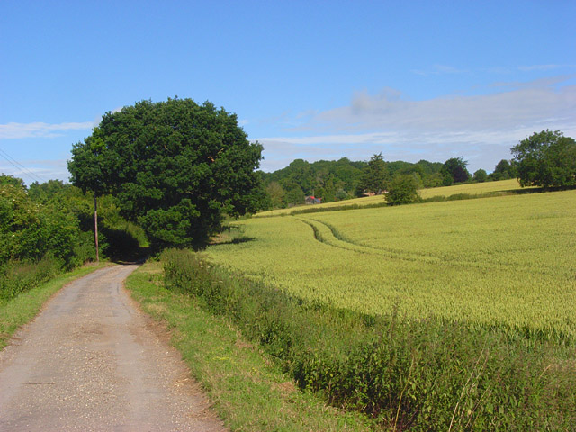
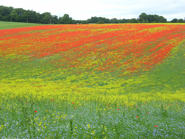
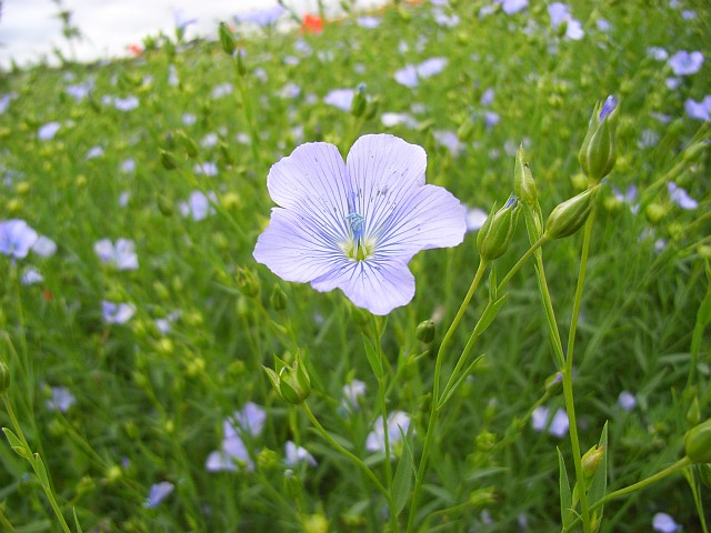
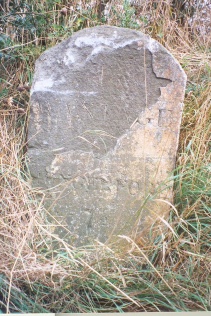
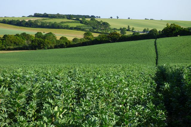
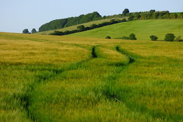
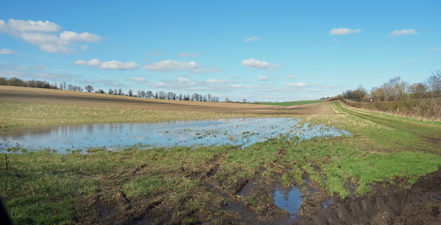
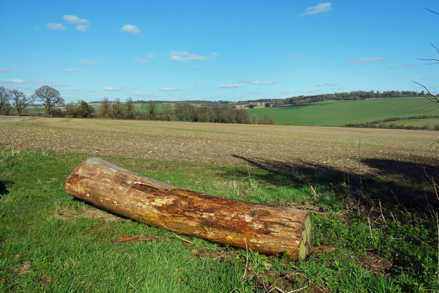
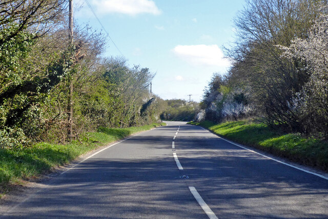
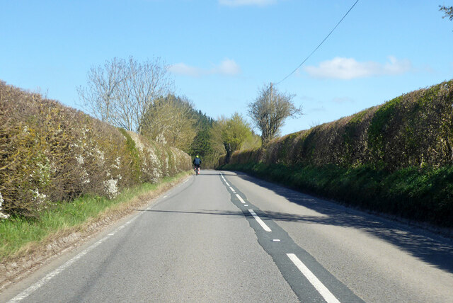
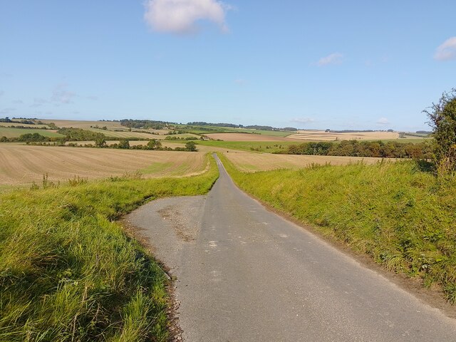
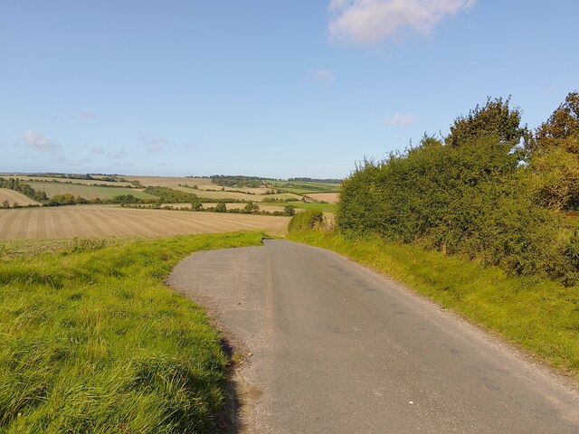
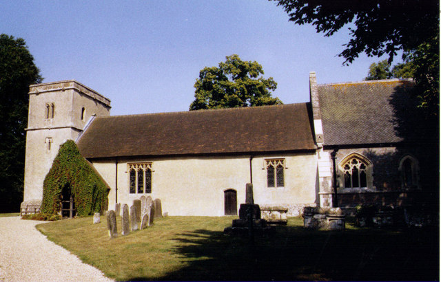
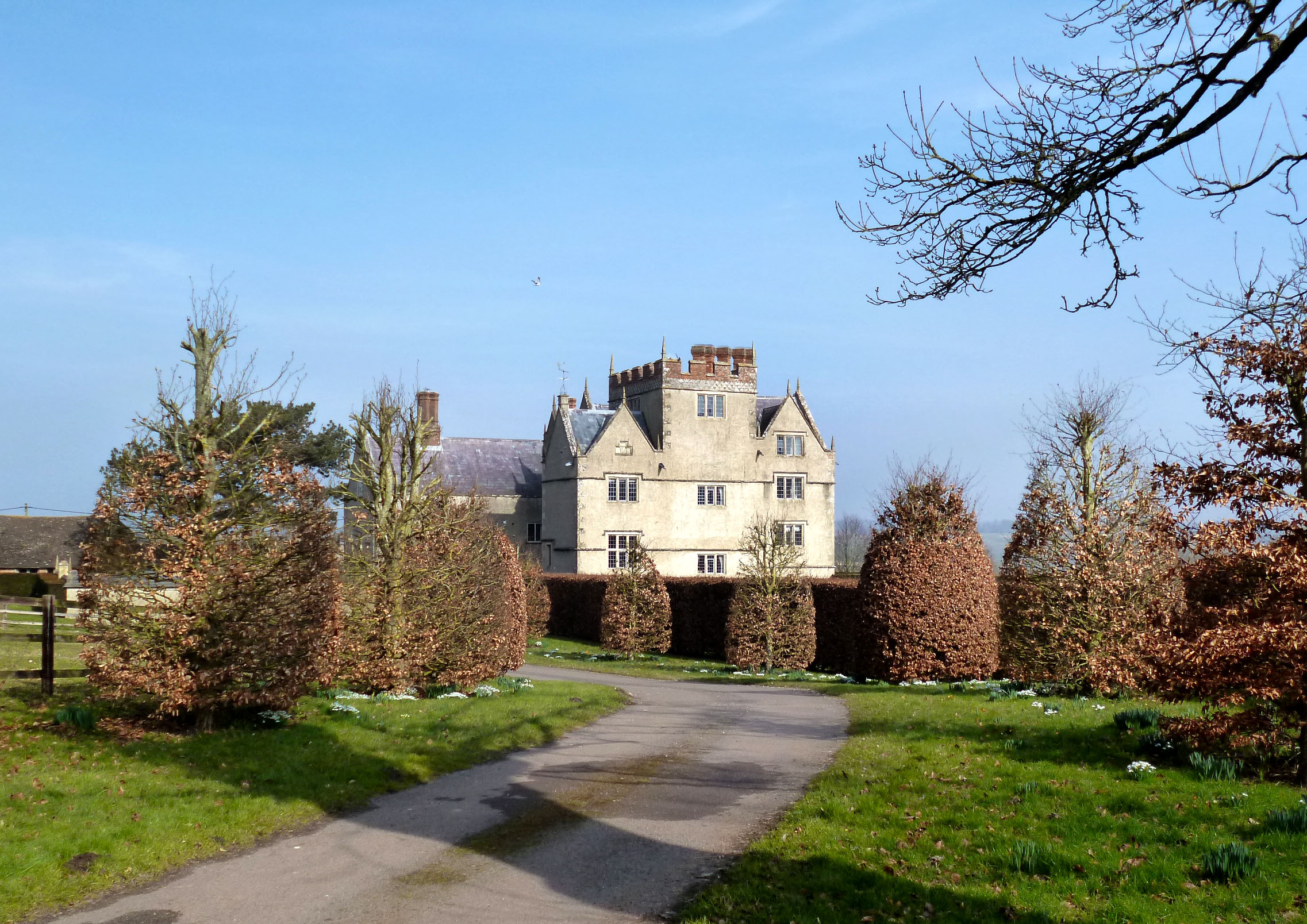
Chaddleworth Images

Images are sourced within 2km of 51.502658/-1.409944 or Grid Reference SU4178. Thanks to Geograph Open Source API. All images are credited.

Gallops at Whatcombe This square basically stud farming and there are many gallops all over the square. These ones, viewed from the road, run across the centre of the square.
Gallops at Whatcombe
This square basically stud farming and there are many gallops all over the square. These ones, viewed from the road, run across the centre of the square.
Footpath at Watscombe Estate Entrance The stile at the entrance to Watscombe.
Footpath at Watscombe Estate Entrance
The stile at the entrance to Watscombe.
Mown hay, Fawley Fields either side of the A338.
Mown hay, Fawley
Fields either side of the A338.
Wheat, Fawley The hedge to the right is beside the A338. This is the view from the start of Dogkennel Lane.
Wheat, Fawley
The hedge to the right is beside the A338. This is the view from the start of Dogkennel Lane.
Grass and woodland, Whatcombe Beside the bridleway approaching Whatcombe with areas of mown and unmown grass below Whatcombe Copse.
Grass and woodland, Whatcombe
Beside the bridleway approaching Whatcombe with areas of mown and unmown grass below Whatcombe Copse.
Hillside, Whatcombe A field of unmown grass beside the start of the footpath to South Fawley just above Whatcombe. Meadow cranesbill and plantains are present here.
Hillside, Whatcombe
A field of unmown grass beside the start of the footpath to South Fawley just above Whatcombe. Meadow cranesbill and plantains are present here.
Farmland, Great Shefford Wheat alongside the restricted byway to Henley Farm.
Farmland, Great Shefford
Wheat alongside the restricted byway to Henley Farm.
Colourful farmland, Great Shefford Flax, poppies and charlock(?) between Trindledown and Henley Farms. I suspect that the explosion of colour here is not accidental.
Colourful farmland, Great Shefford
Flax, poppies and charlock(?) between Trindledown and Henley Farms. I suspect that the explosion of colour here is not accidental.
Flax, Great Shefford The picture shows a flower, buds and a developing seedhead. The crop was growing south of Henley Farm. In the greater scheme of things the presence of the pale blue flowers was not so evident; see <a href="https://www.geograph.org.uk/photo/893140">SU3977 : Colourful farmland, Great Shefford</a>
Flax, Great Shefford
The picture shows a flower, buds and a developing seedhead. The crop was growing south of Henley Farm. In the greater scheme of things the presence of the pale blue flowers was not so evident; see SU3977 : Colourful farmland, Great Shefford
Old Milestone by the A338, north of Great Shefford Carved stone post by the A338, in parish of Great Shefford (West Berkshire District), Watcombe, South of lane to Henley Farm, on very steep narrow grass bank, on East side of road. Besselsleigh tombstone, erected by the Besselsleigh turnpike trust in the 18th century. 

Inscription reads:-
To
WANTAGE
6
HUNGERFORD
7½
Carved benchmark on top.

Grade II listed.
List Entry Number: 1321878 <span class="nowrap"><a title="https://historicengland.org.uk/listing/the-list/list-entry/1321878" rel="nofollow ugc noopener" href="https://historicengland.org.uk/listing/the-list/list-entry/1321878">Link</a><img style="margin-left:2px;" alt="External link" title="External link - shift click to open in new window" src="https://s1.geograph.org.uk/img/external.png" width="10" height="10"/></span>

Milestone Society National ID: BE_WAHG06
Old Milestone by the A338, north of Great Shefford
Carved stone post by the A338, in parish of Great Shefford (West Berkshire District), Watcombe, South of lane to Henley Farm, on very steep narrow grass bank, on East side of road. Besselsleigh tombstone, erected by the Besselsleigh turnpike trust in the 18th century. Inscription reads:- To WANTAGE 6 HUNGERFORD 7½ Carved benchmark on top. Grade II listed. List Entry Number: 1321878 LinkExternal link Milestone Society National ID: BE_WAHG06
Farmland, Great Shefford A footpath through beans to the south of Henley Farm.
Farmland, Great Shefford
A footpath through beans to the south of Henley Farm.
Farmland, Great Shefford Fields of barley either side of the A338.
Farmland, Great Shefford
Fields of barley either side of the A338.
Not Flowing Yet After a very wet winter the water table in the chalk aquifer is very high and temporary streams are flowing in valleys which are usually dry.
The Shefford Stream is one such ephemeral river which is flowing well this year. A couple of hundred metres down the valley south of here ponds like this have joined up and the water is on the move.
That hasn't quite happened here yet but a few centimetres more and this will be the new source.
Not Flowing Yet
After a very wet winter the water table in the chalk aquifer is very high and temporary streams are flowing in valleys which are usually dry. The Shefford Stream is one such ephemeral river which is flowing well this year. A couple of hundred metres down the valley south of here ponds like this have joined up and the water is on the move. That hasn't quite happened here yet but a few centimetres more and this will be the new source.
Farmland along Dogkennel Lane Looking east from Dogkennel Lane near Dogkennel Cottage south of Dogkennel Copse.
Farmland along Dogkennel Lane
Looking east from Dogkennel Lane near Dogkennel Cottage south of Dogkennel Copse.
A338 towards Wantage
Passing place on lane A passing place on a lane near to Woolley Farm.
Passing place on lane
A passing place on a lane near to Woolley Farm.
Passing place on lane A passing place on a lane near to Woolley Farm.
Passing place on lane
A passing place on a lane near to Woolley Farm.
Show me another place!

Chaddleworth is located at Grid Ref: SU4178 (Lat: 51.502658, Lng: -1.409944)

Unitary Authority: West Berkshire

Police Authority: Thames Valley

What 3 Words

///coast.excusing.clearcut. Near Chaddleworth, Berkshire

Nearby Locations

Chaddleworth Spray Wood

Related Wikis

Chaddleworth

Chaddleworth is a village and civil parish in the English county of Berkshire. == Geography == The village of Chaddleworth lies below the southern slopes...

Brightwalton Green

Brightwalton Green is a hamlet in the civil parish of Brightwalton in the county of Berkshire, England. The settlement lies near to the A338 road, and...

South Fawley

South Fawley is a small village in the civil parish of Fawley in the English county of Berkshire. According to the Post Office, South Fawley Farm's population...

Brightwalton

Brightwalton is a village and civil parish in the Berkshire Downs centred 7 miles (11 km) NNW of Newbury in West Berkshire. == Parish church == The Church...

Nearby Amenities

Located within 500m of 51.502658,-1.409944
Power: pole
Source: Bing
Lat/Long: 51.5021678/-1.4157663
Power: pole
Source: Bing
Lat/Long: 51.5015918/-1.4153693
Power: pole
Source: Bing
Lat/Long: 51.4998653/-1.4142133
Power: pole
Source: Bing
Lat/Long: 51.5010158/-1.4149911
Power: pole
Source: Bing
Lat/Long: 51.5027772/-1.4161847
Power: pole
Source: Bing
Lat/Long: 51.5004097/-1.4145647
Power: pole
Source: Bing
Lat/Long: 51.5033433/-1.4166112
The data included in this document is from www.openstreetmap.org. The data is made available under ODbL.

Have you been to Chaddleworth?

Leave your review of Chaddleworth below (or comments, questions and feedback).