Spray Wood

Wood, Forest in Berkshire

England

Spray Wood

Passing place on lane A passing place on a lane near to Woolley Farm.
Passing place on lane Credit: Oscar Taylor

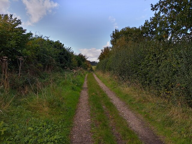
Spray Wood is a sprawling forest located in Berkshire, England. This picturesque woodland covers an area of approximately 500 acres and is characterized by its dense vegetation and diverse range of tree species. The forest is situated in a rural area, offering visitors a tranquil and peaceful environment.

Spray Wood is home to an abundance of wildlife, making it a popular destination for nature enthusiasts and birdwatchers. The forest provides habitats for various species, including deer, foxes, badgers, and numerous bird species. Walking through the woodland, visitors may also spot squirrels darting through the trees or rabbits hopping across the forest floor.

The forest is predominantly composed of oak and beech trees, which create an enchanting canopy overhead. The towering trees provide ample shade during the summer months, making it a perfect spot for picnics or leisurely walks. The forest floor is covered in a carpet of moss, ferns, and wildflowers, adding to the natural beauty of the surroundings.

Spray Wood offers several well-maintained walking trails, allowing visitors to explore the forest at their own pace. These trails vary in length and difficulty, catering to both casual strollers and more experienced hikers. Along the way, there are information boards providing interesting facts about the local flora and fauna, enhancing the educational value of the visit.

Overall, Spray Wood is a captivating natural haven in the heart of Berkshire. Its tranquil atmosphere, diverse wildlife, and beautiful woodland scenery make it a must-visit destination for those seeking a peaceful retreat in nature.

If you have any feedback on the listing, please let us know in the comments section below.
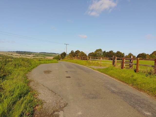
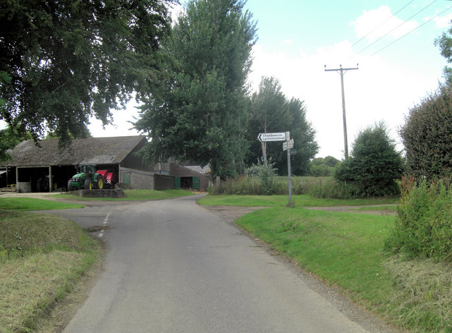
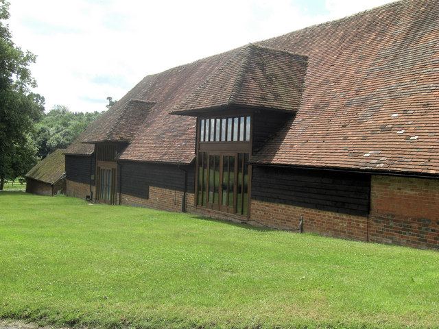
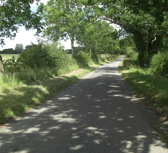
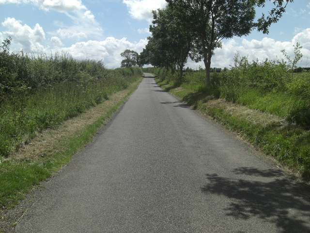
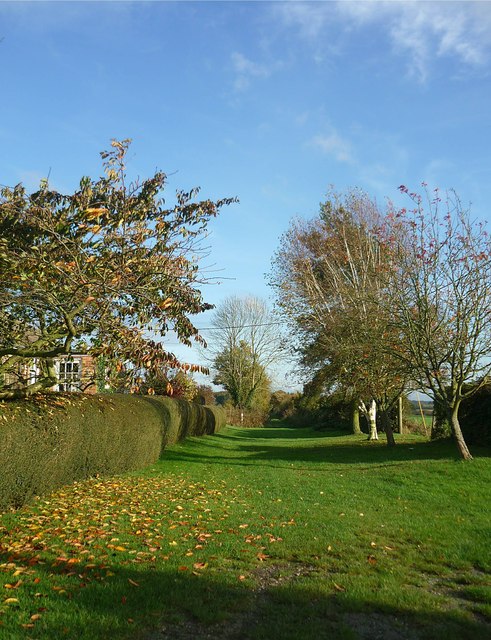
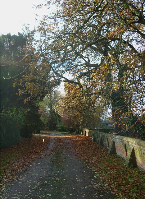
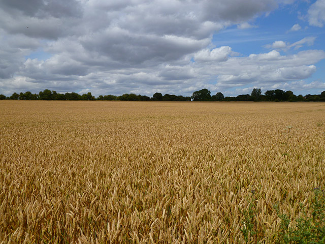
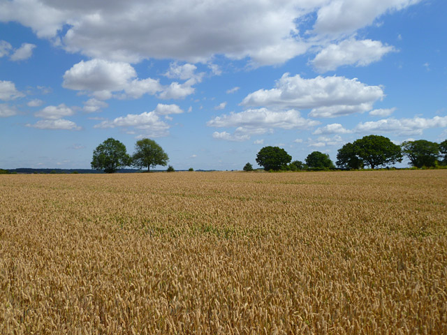
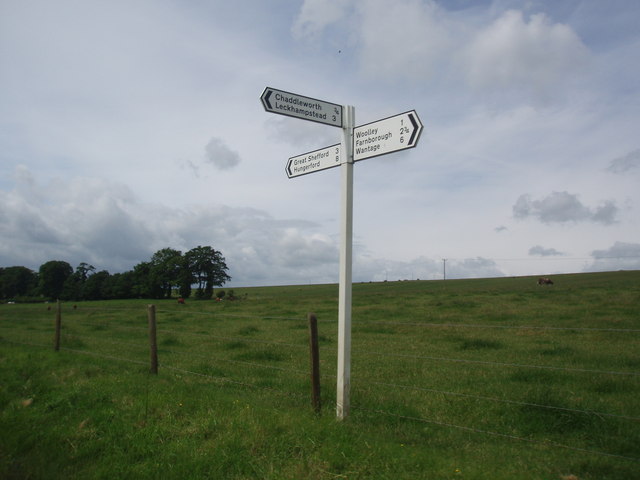
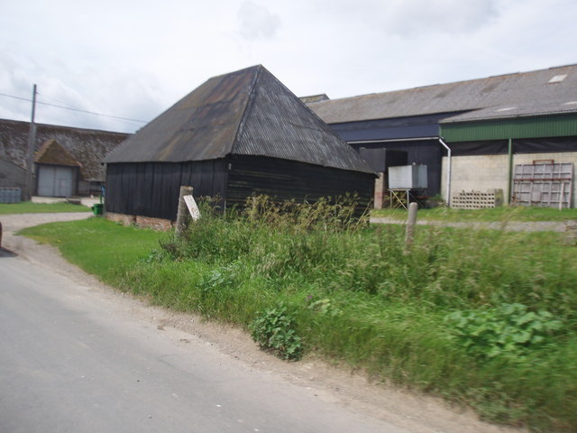
Spray Wood Images

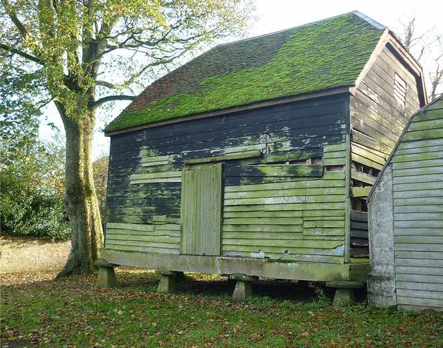
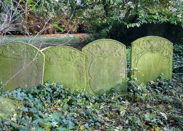
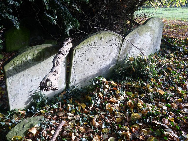
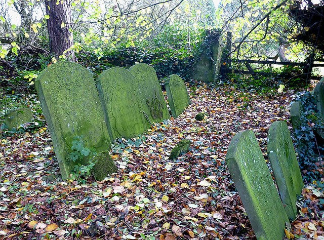
Images are sourced within 2km of 51.503889/-1.3979798 or Grid Reference SU4178. Thanks to Geograph Open Source API. All images are credited.

Passing place on lane A passing place on a lane near to Woolley Farm.
Passing place on lane
A passing place on a lane near to Woolley Farm.
Brown's Lane (track) A byway between Long Lane and Common Lane north of Brightwalton.
Brown's Lane (track)
A byway between Long Lane and Common Lane north of Brightwalton.
Crossroads on Long Lane From the right comes a track: Brown's Lane and to the left; the entrance to Manor Farm forms the eastern side of a rectangle of lanes encompassing Brightwalton.
Crossroads on Long Lane
From the right comes a track: Brown's Lane and to the left; the entrance to Manor Farm forms the eastern side of a rectangle of lanes encompassing Brightwalton.
Woolley Barns Behind these converted threshing barns lies a working farm.
Woolley Barns
Behind these converted threshing barns lies a working farm.
Botmoor Way A quiet lane through farmland here looking north.
Botmoor Way
A quiet lane through farmland here looking north.
Botmoor Way A quiet lane through farmland here looking south.
Botmoor Way
A quiet lane through farmland here looking south.
Grassy track to Hemley Copse One of Brightwalton's numerous green paths.
Grassy track to Hemley Copse
One of Brightwalton's numerous green paths.
Manor Farm drive This driveway runs past Manor Farm and also leads to the old graveyard.
Manor Farm drive
This driveway runs past Manor Farm and also leads to the old graveyard.
Old farm building on staddle stones A small barn raised up on staddle stones.  These allow air to circulate and keep out damp and vermin. <span class="nowrap"><a title="http://en.wikipedia.org/wiki/Staddle_stones" rel="nofollow ugc noopener" href="http://en.wikipedia.org/wiki/Staddle_stones">Link</a><img style="margin-left:2px;" alt="External link" title="External link - shift click to open in new window" src="https://s1.geograph.org.uk/img/external.png" width="10" height="10"/></span>
Old farm building on staddle stones
A small barn raised up on staddle stones. These allow air to circulate and keep out damp and vermin. LinkExternal link
The Old Graveyard at Brightwalton Brightwalton's old church was demolished and the present one built in 1863, a few hundred yards away across meadows. The old graveyard, shaded by yews, remains undisturbed, with crumbling 18th and 19th century headstones encrusted with lichen.
The Old Graveyard at Brightwalton
Brightwalton's old church was demolished and the present one built in 1863, a few hundred yards away across meadows. The old graveyard, shaded by yews, remains undisturbed, with crumbling 18th and 19th century headstones encrusted with lichen.
Farmland, Chaddleworth A crop of wheat to the west of Botmoor Way.
Farmland, Chaddleworth
A crop of wheat to the west of Botmoor Way.
Farmland, Leckhampstead A crop of wheat to the northwest of Leckhampstead Thicket.
Farmland, Leckhampstead
A crop of wheat to the northwest of Leckhampstead Thicket.
Grazing cows and signpost
Buildings at Manor Farm
All Saints, Brightwalton
All Saints, Brightwalton - East end
Show me another place!

Spray Wood is located at Grid Ref: SU4178 (Lat: 51.503889, Lng: -1.3979798)

Unitary Authority: West Berkshire

Police Authority: Thames Valley

What 3 Words

///trump.letter.putty. Near Chaddleworth, Berkshire

Nearby Locations

Chaddleworth Spray Wood

Related Wikis

Brightwalton Green

Brightwalton Green is a hamlet in the civil parish of Brightwalton in the county of Berkshire, England. The settlement lies near to the A338 road, and...

Chaddleworth

Chaddleworth is a village and civil parish in the English county of Berkshire. == Geography == The village of Chaddleworth lies below the southern slopes...
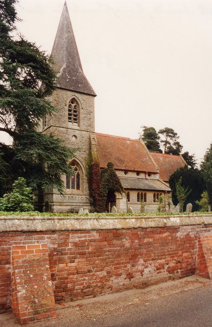
Brightwalton

Brightwalton is a village and civil parish in the Berkshire Downs centred 7 miles (11 km) NNW of Newbury in West Berkshire. == Parish church == The Church...

South Fawley

South Fawley is a small village in the civil parish of Fawley in the English county of Berkshire. According to the Post Office, South Fawley Farm's population...

Have you been to Spray Wood?

Leave your review of Spray Wood below (or comments, questions and feedback).