Central Swindon South
Civil Parish in Wiltshire
England
Central Swindon South

Central Swindon South is a civil parish located in Wiltshire, England. It is part of the larger town of Swindon, which lies in the southwest of the country. The parish is situated in the central area of Swindon, bordering other civil parishes such as Walcot and Old Town.
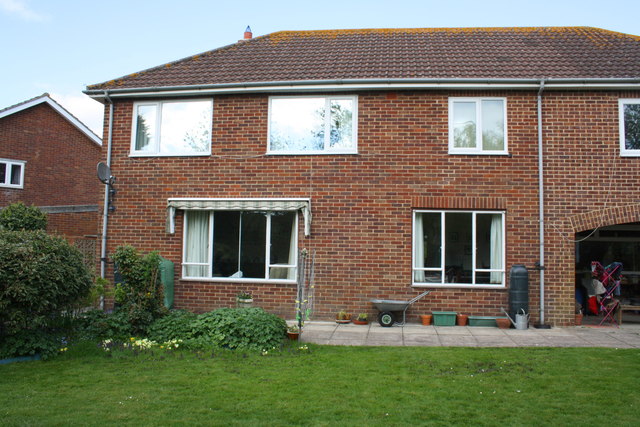
Central Swindon South is primarily a residential area, with a mix of housing types including terraced houses, semi-detached houses, and some apartment buildings. The area is home to a diverse population, with residents from various backgrounds and age groups.
The parish benefits from excellent transport links, with Swindon railway station located nearby, providing access to major cities like London, Bristol, and Cardiff. There are also several bus routes that serve the area, making it easily accessible for those without private transportation.
Central Swindon South has a range of amenities and facilities to cater to the needs of its residents. The town center, which is within walking distance, offers a variety of shops, restaurants, and entertainment venues. In addition, there are several schools, parks, and healthcare facilities in the vicinity, ensuring that residents have access to essential services.
The area is also known for its cultural landmarks, such as the Wyvern Theatre, which hosts a range of theatrical performances throughout the year. Overall, Central Swindon South provides a pleasant and convenient living environment for its residents, with a good balance of residential, commercial, and recreational facilities.
If you have any feedback on the listing, please let us know in the comments section below.
Central Swindon South Images
Images are sourced within 2km of 51.548272/-1.765154 or Grid Reference SU1683. Thanks to Geograph Open Source API. All images are credited.


Central Swindon South is located at Grid Ref: SU1683 (Lat: 51.548272, Lng: -1.765154)
Unitary Authority: Swindon
Police Authority: Wiltshire
What 3 Words
///cities.remain.couches. Near Swindon, Wiltshire
Nearby Locations
Related Wikis
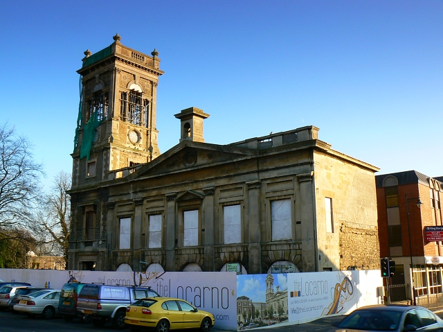
Old Town Hall, Swindon
The Old Town Hall is a former municipal building of 1854 in the High Street, Swindon, Wiltshire, England. It is a Grade II listed building. == History... ==

Lawn Manor Academy
Lawn Manor Academy is a secondary school with academy status in Walcot, Swindon, Wiltshire, England. Its site is next to The Lawn, a public park which...
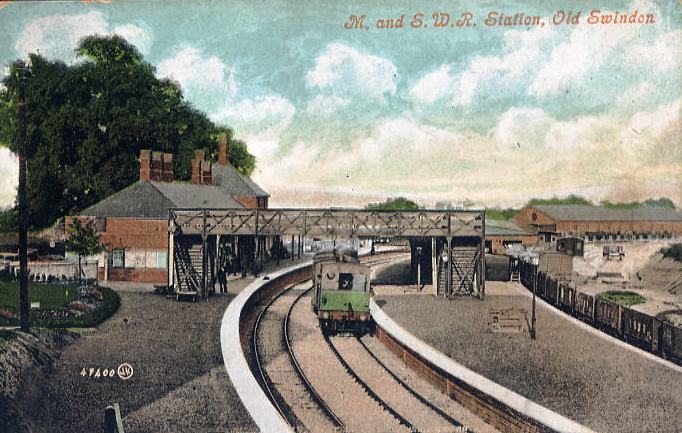
Swindon Town railway station
Swindon Town railway station was on the Midland and South Western Junction Railway at Swindon in Wiltshire, England. The station was open from 1881 to...

Great Western Hospital
The Great Western Hospital is a large hospital in Swindon, Wiltshire, England, near junction 15 of the M4 motorway. It opened in 2002 and is run by the...
Great Western Hospitals NHS Foundation Trust
Great Western Hospitals NHS Foundation Trust runs the Great Western Hospital, a large hospital situated in Swindon, Wiltshire, England, next to junction...
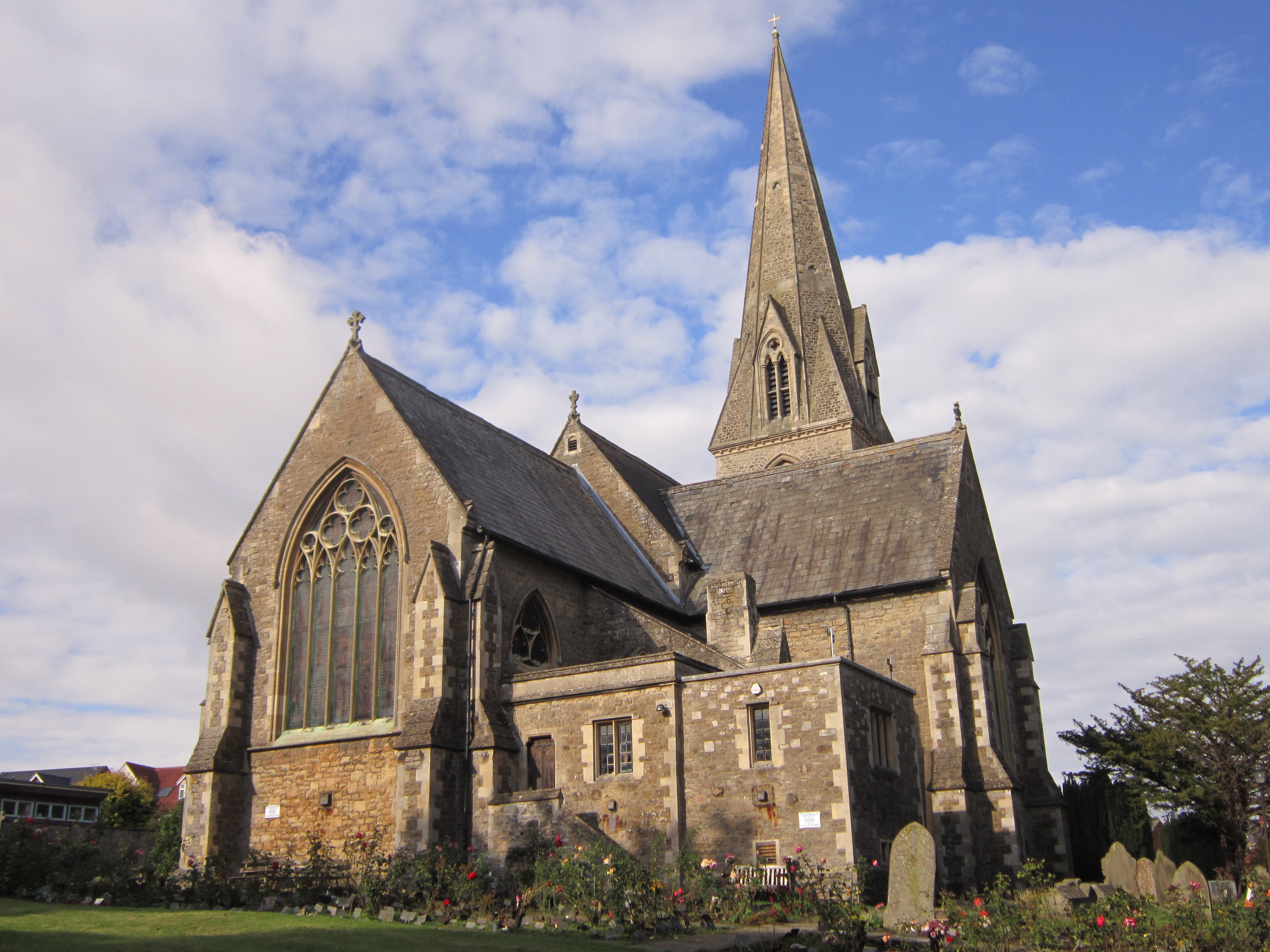
Christ Church, Swindon
Christ Church is a Grade II* listed church in Cricklade Street, Swindon, Wiltshire, England. It was built in 1851 to a design by George Gilbert Scott....

Swindon Arts Centre
Swindon Arts Centre is a 212-seat entertainment venue in the Old Town area of Swindon, Wiltshire, England. It opened in 1956. The Swindon Arts Centre is...
Swindon Museum and Art Gallery
Swindon Museum and Art Gallery is a mothballed museum in Swindon, Wiltshire, England, which is currently closed while a new venue is sought. == Collections... ==
Nearby Amenities
Located within 500m of 51.548272,-1.765154Have you been to Central Swindon South?
Leave your review of Central Swindon South below (or comments, questions and feedback).