Broad Lanes
Settlement in Shropshire
England
Broad Lanes
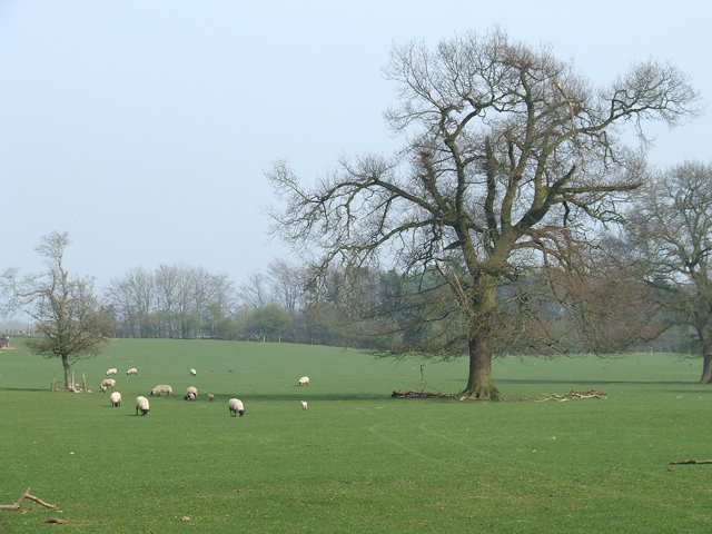
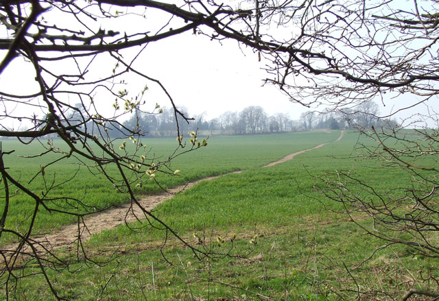
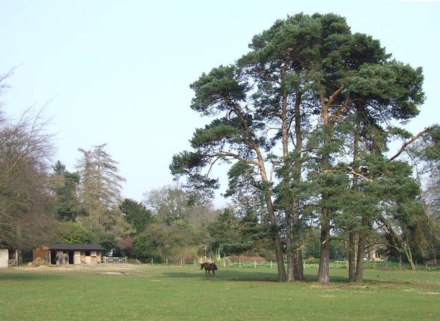
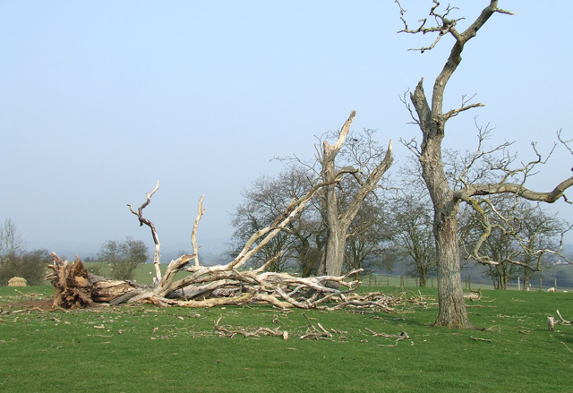
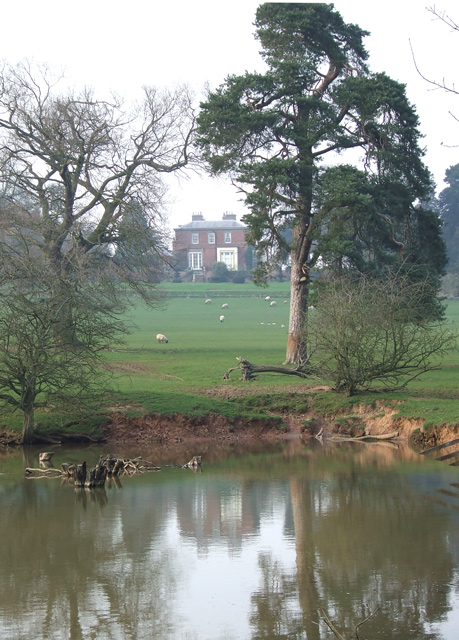
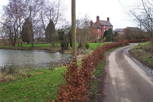
Broad Lanes is a small village located in the county of Shropshire, England. Situated in the West Midlands region, it lies approximately 6 miles southeast of the town of Telford. The village is nestled amidst picturesque countryside, surrounded by rolling hills and meandering streams, making it an idyllic rural retreat.
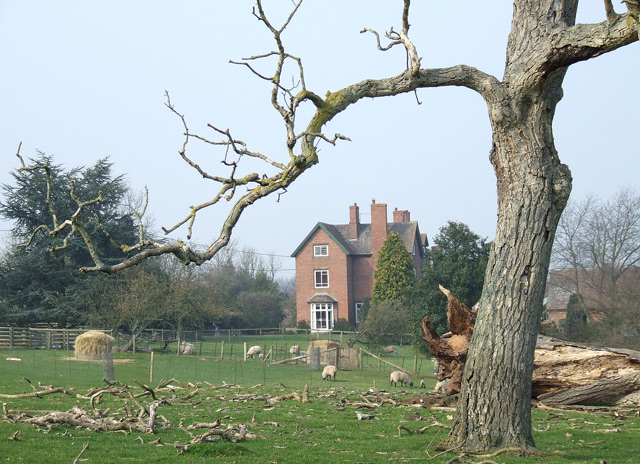
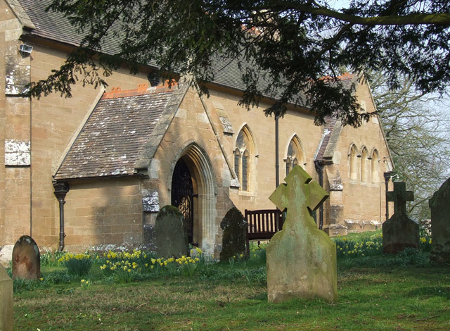
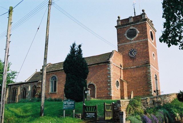
Broad Lanes is characterized by its charming traditional cottages and historic buildings, which provide a glimpse into the area's rich history. The village is home to a tight-knit community, with a population of around 300 residents. The locals take great pride in their village and actively participate in community events and initiatives.
Despite its small size, Broad Lanes offers a range of amenities to its residents. These include a local pub, a village hall, and a small convenience store, providing essential services to the community. The village also boasts several beautiful walking trails and outdoor recreational areas, making it an ideal location for nature enthusiasts and those seeking a peaceful retreat.
The surrounding area of Broad Lanes offers a wealth of attractions and activities. Nearby, visitors can explore the picturesque Ironbridge Gorge, a UNESCO World Heritage site renowned for its industrial heritage. The vibrant town of Telford, with its modern shopping centers, restaurants, and cultural venues, is easily accessible from Broad Lanes.
Overall, Broad Lanes is a charming village, offering a tranquil setting amidst the stunning Shropshire countryside. Its close-knit community and range of amenities make it an attractive place to live for those seeking a peaceful rural lifestyle.
If you have any feedback on the listing, please let us know in the comments section below.
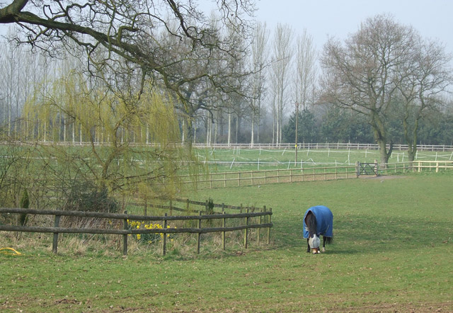
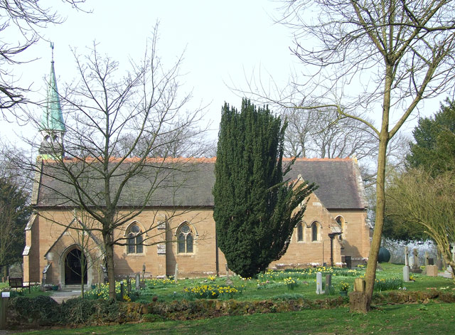
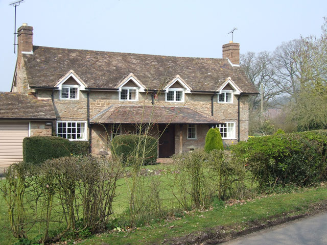
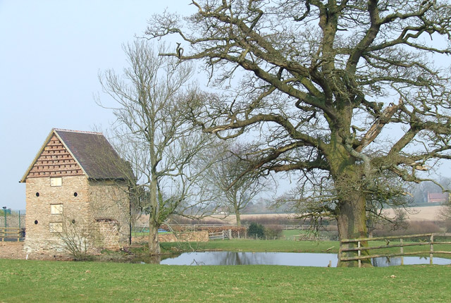
Broad Lanes Images
Images are sourced within 2km of 52.495189/-2.326226 or Grid Reference SO7788. Thanks to Geograph Open Source API. All images are credited.


Broad Lanes is located at Grid Ref: SO7788 (Lat: 52.495189, Lng: -2.326226)
Unitary Authority: Shropshire
Police Authority: West Mercia
What 3 Words
///shins.food.airbase. Near Alveley, Shropshire
Nearby Locations
Related Wikis

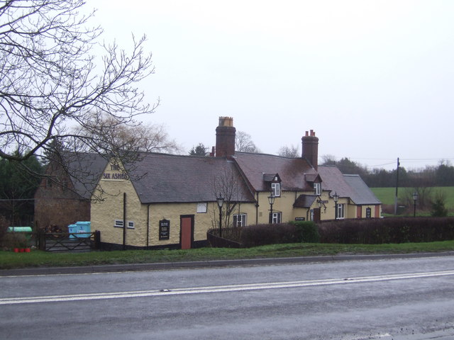
Six Ashes
Six Ashes is a small village in Shropshire, England, on the Shropshire side of the border with Staffordshire. == See also == Tripartite Indenture ��2...
Severn Valley
The Severn Valley is a rural area of the West Midlands region of England, through which the River Severn runs and the Severn Valley Railway steam heritage...

Kingsnordley
Kingsnordley is a manor in the northern part of the parish of Alveley. This part of the parish has no nucleated village, but there is a Church of England...

Coton, Alveley, Shropshire
Coton is located northeast of Alveley, Shropshire and was associated with the manor Coton Hall. The ancestors of General Robert E. Lee left Coton near...

Mid Severn Sandstone Plateau
The Mid Severn Sandstone Plateau is a rural landscape and one of the natural regions of central England, straddling the border between the counties of...
Quatt
Quatt is a small village in Shropshire, England in the Severn Valley. The civil parish, formally known as Quatt Malvern, has a population of 219 according...
Beobridge
Beobridge is a small, scattered hamlet in Shropshire, England. It is in the civil parish of Claverley. Its name probably comes from Old English beo, "bee...

Dudmaston Hall
Dudmaston Hall is a 17th-century country house in the care of the National Trust in the Severn Valley, Shropshire, England. Dudmaston Hall is located near...
Nearby Amenities
Located within 500m of 52.495189,-2.326226Have you been to Broad Lanes?
Leave your review of Broad Lanes below (or comments, questions and feedback).