Wooton Dingle

Valley in Shropshire

England

Wooton Dingle

Quatt - St Andrew's Church Dating back to Saxon times the church was restored in 1763. The west gallery and organ date from 1950s.
Quatt - St Andrew's Church Credit: Tony Bailey

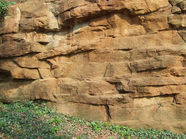
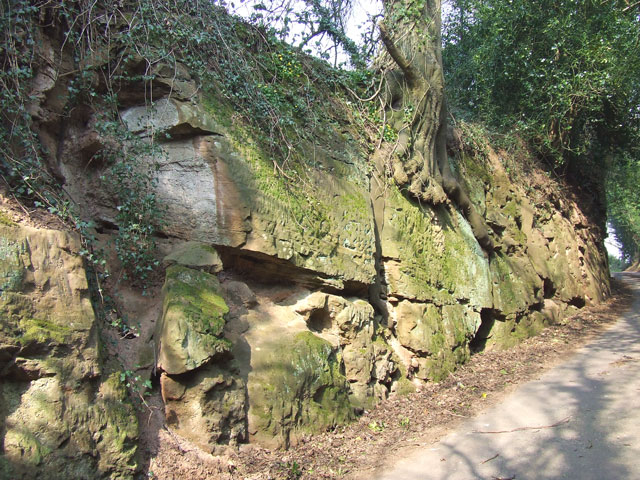
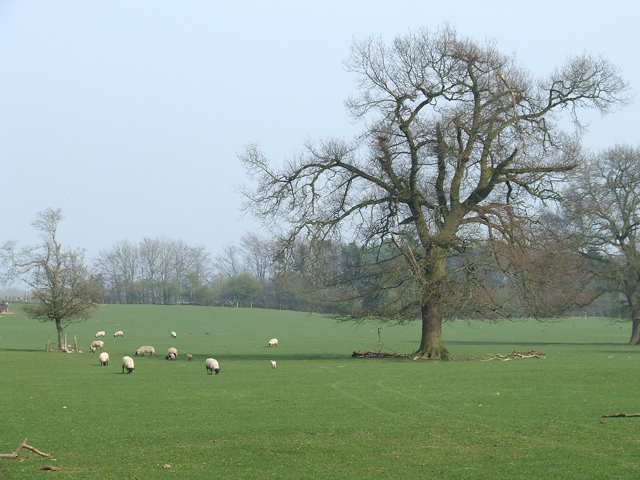
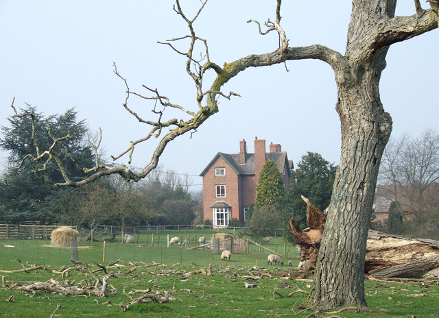
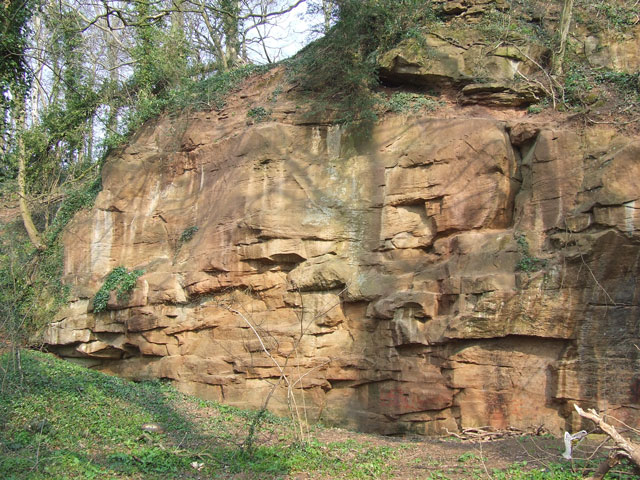
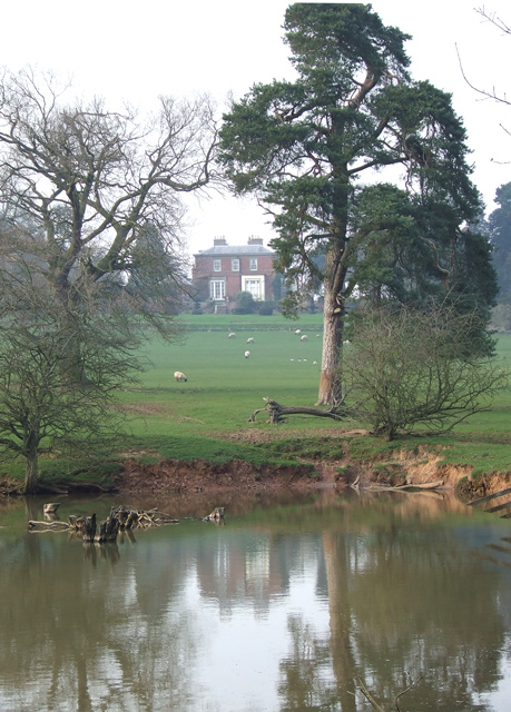
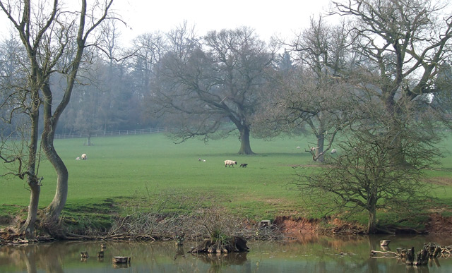
Wooton Dingle is a picturesque valley located in the county of Shropshire, England. Nestled between rolling hills and surrounded by lush greenery, it is renowned for its natural beauty and tranquility. The valley is situated near the village of Wooton, which adds to its charm.

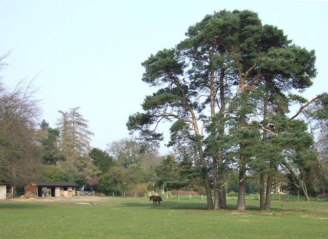
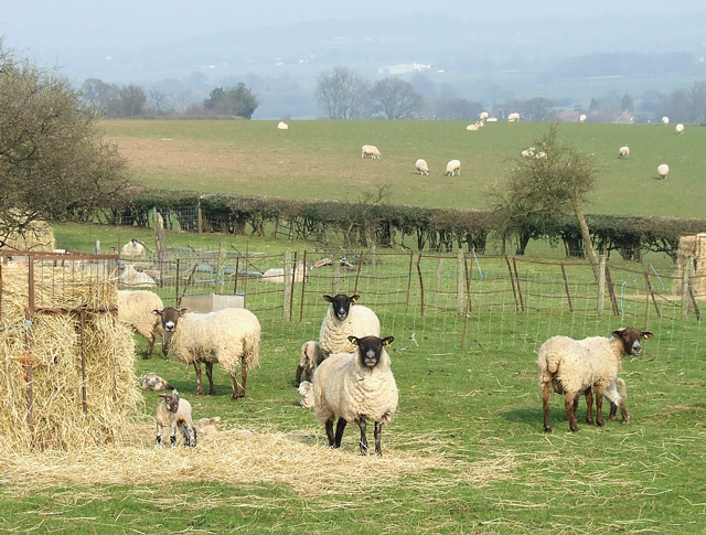
With its meandering stream, Wooton Dingle offers a haven for wildlife, making it a popular spot for nature enthusiasts and birdwatchers. The valley is home to a rich variety of flora and fauna, including wildflowers, ancient trees, and a diverse range of bird species. It offers a peaceful retreat for those seeking a break from the hustle and bustle of city life.

Wooton Dingle also boasts a network of walking trails, allowing visitors to explore the valley and take in its stunning vistas. These paths wind through the valley, offering breathtaking views of the surrounding countryside. The valley's beauty changes with the seasons, from vibrant blooms in spring to golden hues in autumn.

In addition to its natural attractions, Wooton Dingle is also famous for its historical significance. The area has evidence of human habitation dating back centuries, with archaeological finds suggesting it was inhabited during the Iron Age. This rich history adds an extra layer of intrigue to the valley, making it a fascinating destination for history buffs.

Overall, Wooton Dingle is a hidden gem in Shropshire, offering visitors a peaceful and scenic retreat amidst nature's splendor.

If you have any feedback on the listing, please let us know in the comments section below.

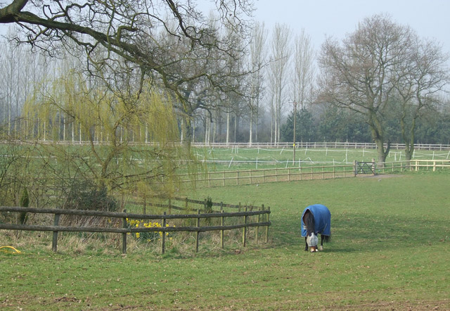
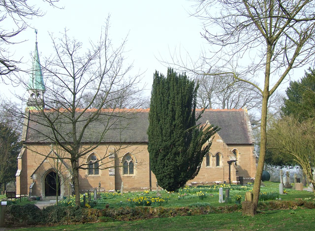
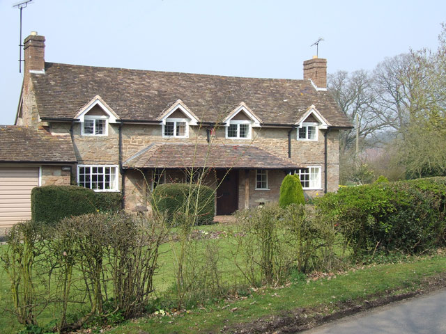
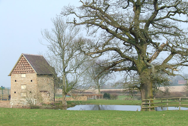
Wooton Dingle Images

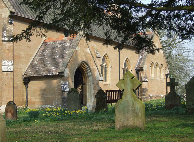
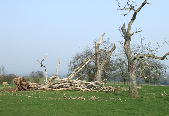
Images are sourced within 2km of 52.495872/-2.3364352 or Grid Reference SO7788. Thanks to Geograph Open Source API. All images are credited.

Quatt - St Andrew's Church Dating back to Saxon times the church was restored in 1763. The west gallery and organ date from 1950s.
Quatt - St Andrew's Church
Dating back to Saxon times the church was restored in 1763. The west gallery and organ date from 1950s.
The Six Ashes Inn,  Six Ashes Between Bridgnorth and Stourbridge, former Banks's pub.
The Six Ashes Inn, Six Ashes
Between Bridgnorth and Stourbridge, former Banks's pub.
Sandstone. Old Quarry, Tuckhill, Shropshire Triassic (Bunter) Sandstone. This detail of the rock face shows clear strata.
Sandstone. Old Quarry, Tuckhill, Shropshire
Triassic (Bunter) Sandstone. This detail of the rock face shows clear strata.
Sandstone in lane near Tuckhill in Shropshire The lane is deeply cut through the Triassic red sandstone bedrock here.
Sandstone in lane near Tuckhill in Shropshire
The lane is deeply cut through the Triassic red sandstone bedrock here.
Sheep grazing in Gatacre Park, Shropshire Looking east from near the bridleway.
Sheep grazing in Gatacre Park, Shropshire
Looking east from near the bridleway.
Gatacre Park Farm near Six Ashes in Shropshire The remains of several dead old oak trees can be seen in the area.
Gatacre Park Farm near Six Ashes in Shropshire
The remains of several dead old oak trees can be seen in the area.
Old Sandstone Quarry near Tuckhill in Shropshire Triassic (Bunter) Sandstone.* The quarry face, only twenty metres from the road, is about 6 metres high.

* Now referred to as Kidderminster Formation sandstone.
Old Sandstone Quarry near Tuckhill in Shropshire
Triassic (Bunter) Sandstone.* The quarry face, only twenty metres from the road, is about 6 metres high. * Now referred to as Kidderminster Formation sandstone.
New Stabling, near Tuckhill, Shropshire Let's hope the raw colour will become more subdued in time!
New Stabling, near Tuckhill, Shropshire
Let's hope the raw colour will become more subdued in time!
Grazing, near Tuckhill, Shropshire
The Church of the Holy Innocents, Tuckhill, Shropshire A fine church in a spectacular location, surrounded by mixed very mature woodland, some of the trees being centuries old. Maybe the disused quarry less than 80 metres away supplied some of the stone used.
The Church of the Holy Innocents, Tuckhill, Shropshire
A fine church in a spectacular location, surrounded by mixed very mature woodland, some of the trees being centuries old. Maybe the disused quarry less than 80 metres away supplied some of the stone used.
Stone Cottage near Tuckhill, Shropshire
Building, Oak, and Pond. Tuckhill Farm The 88 Northing line goes right through the pond!!
Building, Oak, and Pond. Tuckhill Farm
The 88 Northing line goes right through the pond!!
The Church of the Holy Innocents, Tuckhill, Shropshire
Pine Trees and Grazing, Gatacre Park, Shropshire The park has extensive grazing land, today supporting a few horses, and some ewes with their lambs.
Pine Trees and Grazing, Gatacre Park, Shropshire
The park has extensive grazing land, today supporting a few horses, and some ewes with their lambs.
Fallen Oaks, Gatacre Park Farm, Shropshire The extensive grazing land in the area is littered with battered and defunct oak trees.
Fallen Oaks, Gatacre Park Farm, Shropshire
The extensive grazing land in the area is littered with battered and defunct oak trees.
Pool, Pine  and Grazing, Gatacre Park, Shropshire Although the OS 1:50000 marks and names this a parkland, it does not appear to have public access except by designated footpaths.
Pool, Pine and Grazing, Gatacre Park, Shropshire
Although the OS 1:50000 marks and names this a parkland, it does not appear to have public access except by designated footpaths.
Grazing, Gatacre Park, Shropshire Though designated "park or ornamental ground" by O.S., this idyllic area is not open to the public, except by the designated public footpaths. The undulating and oak-strewn grazing land reveals its sandstone soil origin at the pools' edges.
Grazing, Gatacre Park, Shropshire
Though designated "park or ornamental ground" by O.S., this idyllic area is not open to the public, except by the designated public footpaths. The undulating and oak-strewn grazing land reveals its sandstone soil origin at the pools' edges.
Lambing Time, Gatacre Park Farm, Shropshire
Show me another place!

Wooton Dingle is located at Grid Ref: SO7788 (Lat: 52.495872, Lng: -2.3364352)

Unitary Authority: Shropshire

Police Authority: West Mercia

What 3 Words

///admit.likening.await. Near Alveley, Shropshire

Related Wikis

Severn Valley

The Severn Valley is a rural area of the West Midlands region of England, through which the River Severn runs and the Severn Valley Railway steam heritage...

Kingsnordley

Kingsnordley is a manor in the northern part of the parish of Alveley. This part of the parish has no nucleated village, but there is a Church of England...
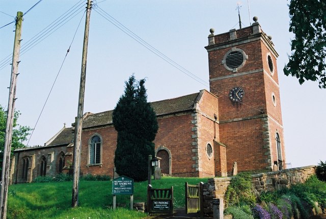
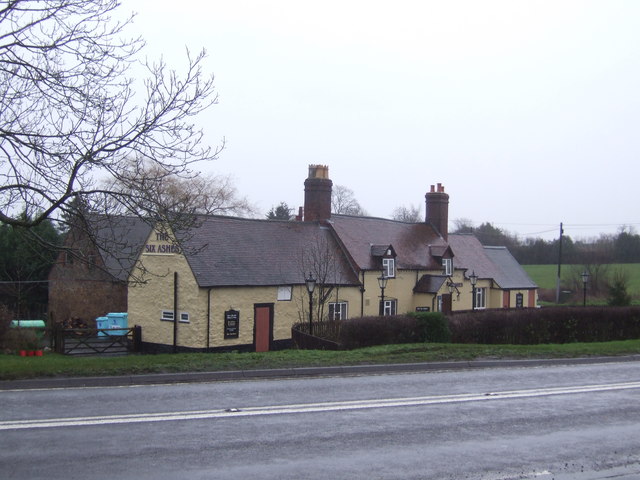
Six Ashes

Six Ashes is a small village in Shropshire, England, on the Shropshire side of the border with Staffordshire. == See also == Tripartite Indenture ��2...

Quatt

Quatt is a small village in Shropshire, England in the Severn Valley. The civil parish, formally known as Quatt Malvern, has a population of 219 according...

Nearby Amenities

Located within 500m of 52.495872,-2.3364352
Generator Method: photovoltaic
Generator Output Electricity: yes
Generator Source: solar
Generator Type: solar_photovoltaic_panel
Location: roof
Power: generator
Lat/Long: 52.4946115/-2.3315316
The data included in this document is from www.openstreetmap.org. The data is made available under ODbL.

Have you been to Wooton Dingle?

Leave your review of Wooton Dingle below (or comments, questions and feedback).