Castley
Civil Parish in Yorkshire Harrogate
England
Castley
Castley is a civil parish located in the county of Yorkshire, England. It is situated approximately 8 miles northwest of Leeds city center and falls within the metropolitan borough of Leeds. The parish covers an area of around 4.5 square miles and is surrounded by picturesque countryside, offering stunning views of the nearby Wharfedale Valley.
The village of Castley itself is a small and charming settlement with a population of around 100 residents. It is primarily made up of traditional stone-built houses, some of which date back several centuries, adding to its historical charm. The parish also includes a number of farms and agricultural land, contributing to the rural character of the area.
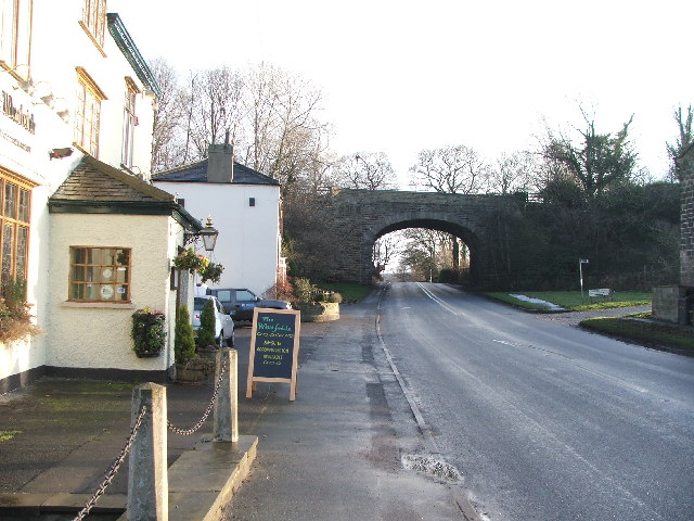
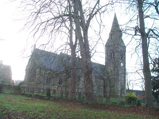
Despite its small size, Castley offers a sense of community and tranquility to its residents. The parish has a local church, which serves as a focal point for social gatherings and religious ceremonies. The village is well-connected to neighboring towns and cities, with good road links to Leeds and other nearby areas.
The surrounding countryside provides ample opportunities for outdoor activities, such as walking, cycling, and horse riding. The nearby Harewood House, a stately home and gardens, is a popular attraction for both locals and visitors. Additionally, the parish benefits from its proximity to the beautiful Yorkshire Dales National Park, offering further opportunities for exploring nature and enjoying the outdoors.
Overall, Castley is a charming and peaceful civil parish that offers a rural lifestyle with easy access to nearby urban amenities.
If you have any feedback on the listing, please let us know in the comments section below.
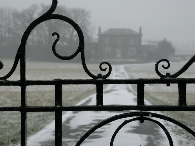
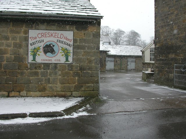
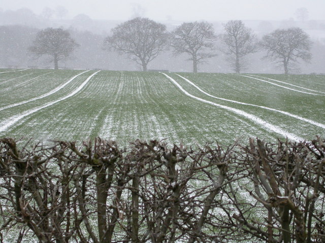
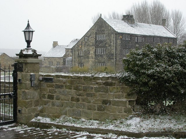
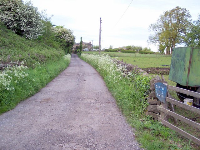
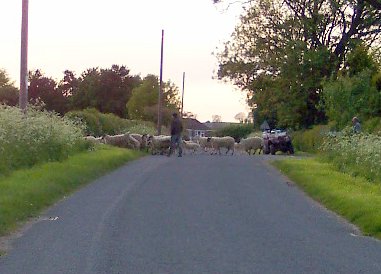
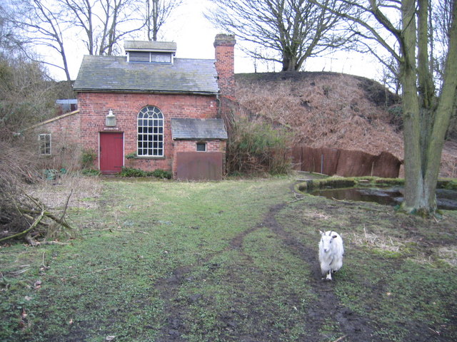
Castley Images
Images are sourced within 2km of 53.907361/-1.590181 or Grid Reference SE2745. Thanks to Geograph Open Source API. All images are credited.


Castley is located at Grid Ref: SE2745 (Lat: 53.907361, Lng: -1.590181)
Division: West Riding
Administrative County: North Yorkshire
District: Harrogate
Police Authority: North Yorkshire
What 3 Words
///novelists.hamsters.unfair. Near Pool, West Yorkshire
Nearby Locations
Related Wikis

Castley
Castley is a village and civil parish in the Harrogate district of North Yorkshire, England. It lies on a bend in the River Wharfe about 10 miles (16 km...

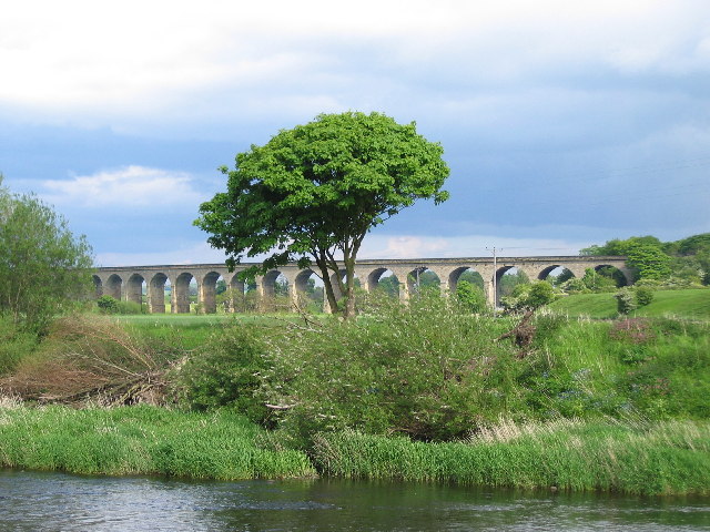
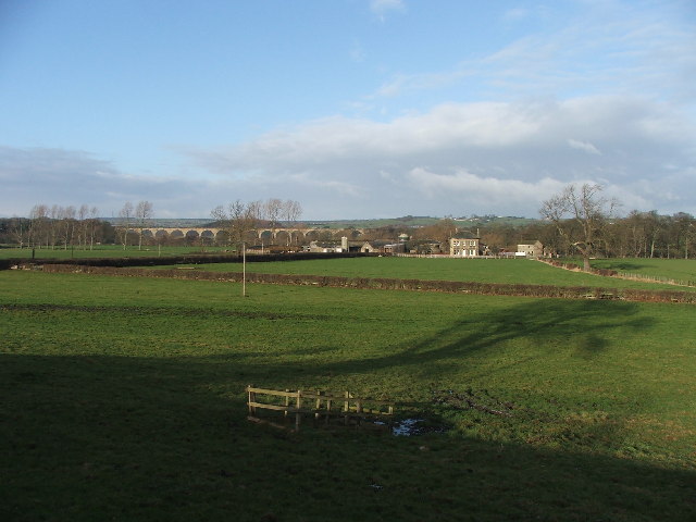
Arthington Viaduct
Arthington Viaduct, listed known as the Wharfedale Viaduct, carries the Harrogate Line across the Wharfe valley between Arthington in West Yorkshire...

Kirkstall Road Viaduct
Kirkstall Road Viaduct is a Grade II listed railway viaduct carrying the Harrogate line over the A65 Kirkstall Road, the River Aire, and the Leeds and...

Arthington
Arthington is a linear village in Wharfedale, in the City of Leeds metropolitan borough in West Yorkshire, England. It is a civil parish which, according...

Huby, Harrogate
Huby is a village in the Harrogate district of North Yorkshire that lies approximately 5 miles (8 km) south of the town of Harrogate and 8.63 miles (13...

Creskeld Hall
Creskeld Hall is a grade II listed Country House located in Arthington, near Otley, West Yorkshire, England. == Etymology == The place-name is first attested...

Weeton railway station
Weeton railway station serves the villages of Weeton and Huby in North Yorkshire, England. It is located on the Harrogate Line 11.5 miles (19 km) north...
Arthington railway station
Arthington railway station served the village of Arthington in the English county of West Yorkshire, near the North Yorkshire town of Harrogate. ��2...
Nearby Amenities
Located within 500m of 53.907361,-1.590181Have you been to Castley?
Leave your review of Castley below (or comments, questions and feedback).