Chapel Hill

Hill, Mountain in Yorkshire Harrogate

England

Chapel Hill

River Wharfe The River Wharfe is a major Yorkshire River. It is 97 miles long. It rises in Langstrathdale in the Yorkshire Dales National Park and flows south then east to join the River Ouse at Cawood. It is navigable as far as Tadcaster.
Wikipedia: <span class="nowrap"><a title="http://en.wikipedia.org/wiki/River_Wharfe" rel="nofollow ugc noopener" href="http://en.wikipedia.org/wiki/River_Wharfe">Link</a><img style="margin-left:2px;" alt="External link" title="External link - shift click to open in new window" src="https://s1.geograph.org.uk/img/external.png" width="10" height="10"/></span>
River Wharfe Credit: N Chadwick

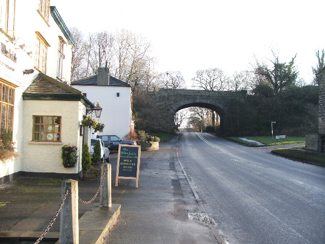
Chapel Hill is a small village nestled in the picturesque region of Yorkshire, England. Located on a gentle hill, it offers stunning panoramic views of the surrounding countryside. Situated in the Ryedale district, Chapel Hill is known for its peaceful and idyllic setting, making it a popular destination for nature enthusiasts and those seeking a tranquil retreat.

The village is surrounded by rolling green hills and lush meadows, providing ample opportunities for outdoor activities such as hiking, walking, and cycling. The nearby Dalby Forest offers extensive trails for those who wish to explore the area's natural beauty further. Additionally, the village is home to a variety of native wildlife, including deer and various bird species, making it a haven for wildlife enthusiasts.

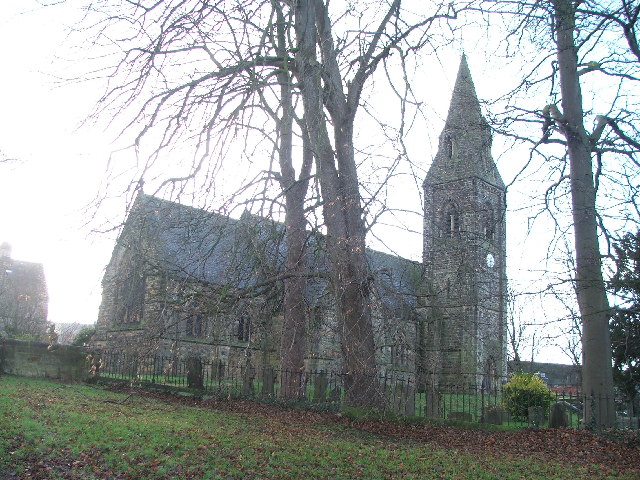
Chapel Hill itself boasts a charming and quaint atmosphere, with traditional stone houses and well-maintained gardens adorning the streets. The village is centered around a small chapel, which dates back several centuries and adds to its historical appeal. Despite its small size, Chapel Hill is well-equipped with amenities such as a local pub, a village shop, and a primary school, catering to the needs of its residents and visitors.

For those interested in history and culture, the nearby market towns of Pickering and Helmsley offer a range of attractions, including historical landmarks, museums, and art galleries. Chapel Hill is also within easy reach of the North York Moors National Park, where visitors can experience breathtaking scenery and enjoy a multitude of outdoor activities.

In conclusion, Chapel Hill, Yorkshire, is a charming village set amidst the stunning landscape of the region. With its natural beauty, peaceful ambiance, and convenient location, it is a delightful destination for those seeking a serene escape in the heart of Yorkshire.

If you have any feedback on the listing, please let us know in the comments section below.
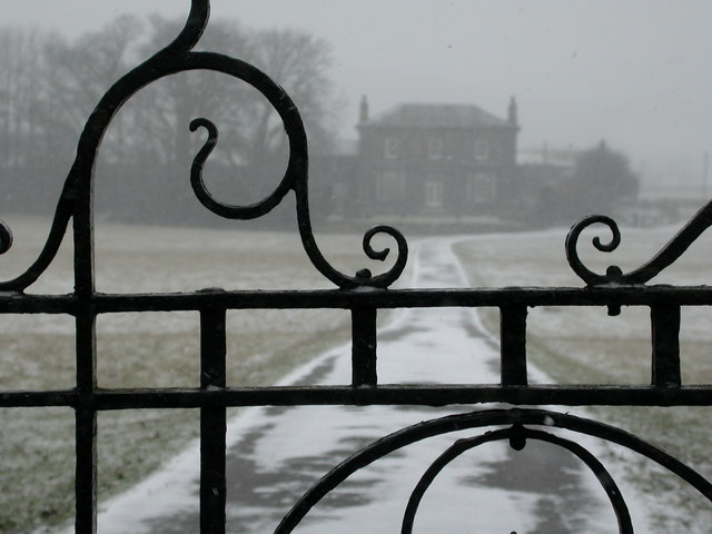
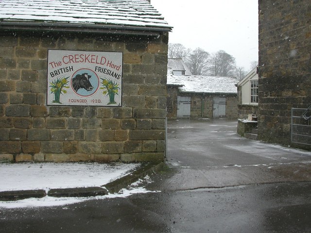
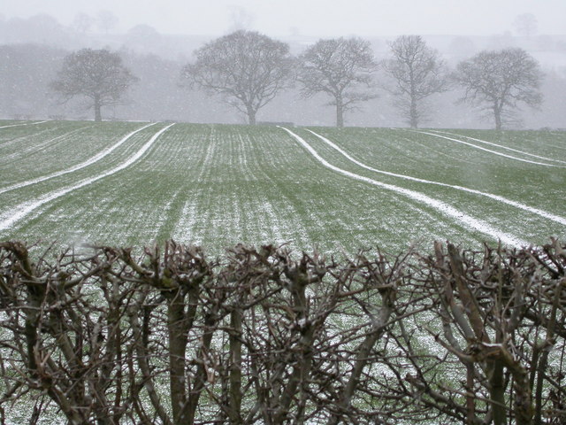
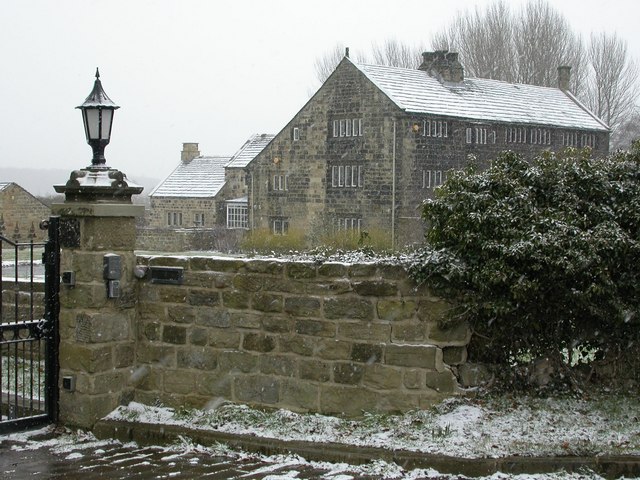
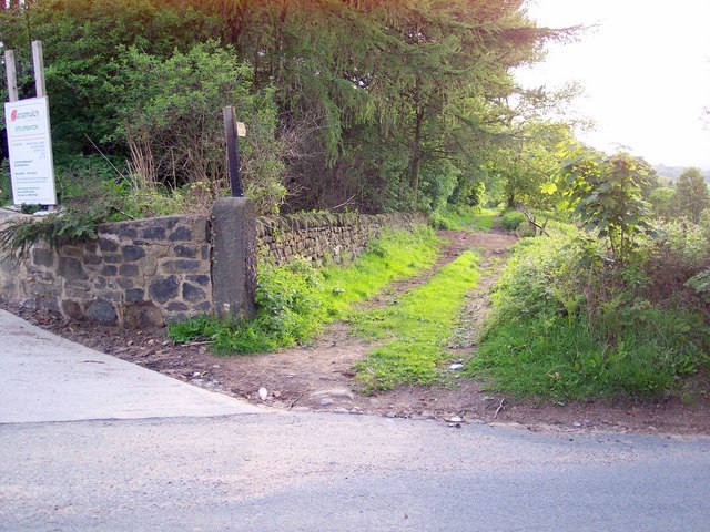
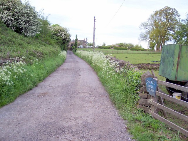
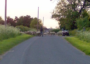
Chapel Hill Images

Images are sourced within 2km of 53.905191/-1.588884 or Grid Reference SE2745. Thanks to Geograph Open Source API. All images are credited.

River Wharfe The River Wharfe is a major Yorkshire River. It is 97 miles long. It rises in Langstrathdale in the Yorkshire Dales National Park and flows south then east to join the River Ouse at Cawood. It is navigable as far as Tadcaster.
Wikipedia: <span class="nowrap"><a title="http://en.wikipedia.org/wiki/River_Wharfe" rel="nofollow ugc noopener" href="http://en.wikipedia.org/wiki/River_Wharfe">Link</a><img style="margin-left:2px;" alt="External link" title="External link - shift click to open in new window" src="https://s1.geograph.org.uk/img/external.png" width="10" height="10"/></span>
River Wharfe
The River Wharfe is a major Yorkshire River. It is 97 miles long. It rises in Langstrathdale in the Yorkshire Dales National Park and flows south then east to join the River Ouse at Cawood. It is navigable as far as Tadcaster. Wikipedia: LinkExternal link
Cattle grazing
Cattle grazing
Greengates Farm
Greengates Farm
Wescoe Hill
Wescoe Hill
Railway Cutting, Wescoe Hill
Arthington Viaduct Arthington Viaduct, built 1846, carries the Harrogate-Leeds railway line from North Yorkshire across the River Wharfe into West Yorkshire.  The viaduct, for the Leeds and Thirsk Railway, was engineered by Thomas Granger and built by James Bray. It was 1510 feet long, had 21 arches and required over 50,000 tons of stone to construct.
Arthington Viaduct
Arthington Viaduct, built 1846, carries the Harrogate-Leeds railway line from North Yorkshire across the River Wharfe into West Yorkshire. The viaduct, for the Leeds and Thirsk Railway, was engineered by Thomas Granger and built by James Bray. It was 1510 feet long, had 21 arches and required over 50,000 tons of stone to construct.
Weeton Rather a scattered little place, but this is the nearest to the centre you can get to - the road going towards Huby. The village boasts no shop, no pub - but does have a church and a railway station.
Weeton
Rather a scattered little place, but this is the nearest to the centre you can get to - the road going towards Huby. The village boasts no shop, no pub - but does have a church and a railway station.
Riffa Wood Eastern boundary of Riffa Wood from the A658 Harrogate/Bradford Road
Riffa Wood
Eastern boundary of Riffa Wood from the A658 Harrogate/Bradford Road
Railway bridge by 'The Wharfedale'. Looking E along the A659.
Railway bridge by 'The Wharfedale'.
Looking E along the A659.
Mill Farm. with WHARFEDALE viaduct in the background.
Mill Farm.
with WHARFEDALE viaduct in the background.
St Peters, Arthington.
Arthington House Arthington House is a private residence between Pool and Arthington.
Arthington House
Arthington House is a private residence between Pool and Arthington.
Farm buildings belonging to Creskeld Home Farm The Creskeld Herd dates back to 1920
Farm buildings belonging to Creskeld Home Farm
The Creskeld Herd dates back to 1920
Snowy fields at Ingfield Farm The bare hedgerow, trees and snow-lined furrows make a wintry scene.
Snowy fields at Ingfield Farm
The bare hedgerow, trees and snow-lined furrows make a wintry scene.
The Nunnery Now a private residence, a Cluniac Nunnery was founded on this site in 1150 by Peter de Arthington.
The Nunnery
Now a private residence, a Cluniac Nunnery was founded on this site in 1150 by Peter de Arthington.
Bridleway near Arthington Quarry Looking west down bridleway off Blackhill Lane which connects to Creskeld Lane.
Bridleway near Arthington Quarry
Looking west down bridleway off Blackhill Lane which connects to Creskeld Lane.
Chapel Hill Farm Looking north east to Castle Hill Farm from just after the railway bridge.
Chapel Hill Farm
Looking north east to Castle Hill Farm from just after the railway bridge.
Sheep at Wescoe Hill Sheep being herded across the road at Wescoe Hill near the former Brymoor Ice Cream Parlour. Farmer's son has a quad bike. Picture taken looking north east.
Sheep at Wescoe Hill
Sheep being herded across the road at Wescoe Hill near the former Brymoor Ice Cream Parlour. Farmer's son has a quad bike. Picture taken looking north east.
Show me another place!

Chapel Hill is located at Grid Ref: SE2745 (Lat: 53.905191, Lng: -1.588884)

Division: West Riding

Administrative County: North Yorkshire

District: Harrogate

Police Authority: North Yorkshire

What 3 Words

///mistaking.reflector.crib. Near Pool, West Yorkshire

Nearby Locations

Castley Chapel Hill

Related Wikis

Castley

Castley is a village and civil parish in the Harrogate district of North Yorkshire, England. It lies on a bend in the River Wharfe about 10 miles (16 km...

Kirkstall Road Viaduct

Kirkstall Road Viaduct is a Grade II listed railway viaduct carrying the Harrogate line over the A65 Kirkstall Road, the River Aire, and the Leeds and...
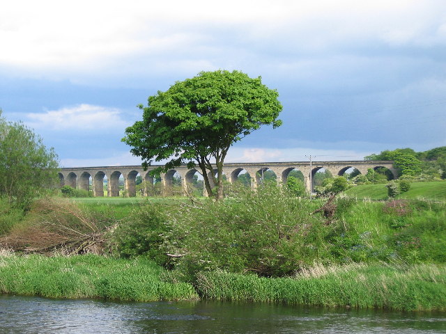
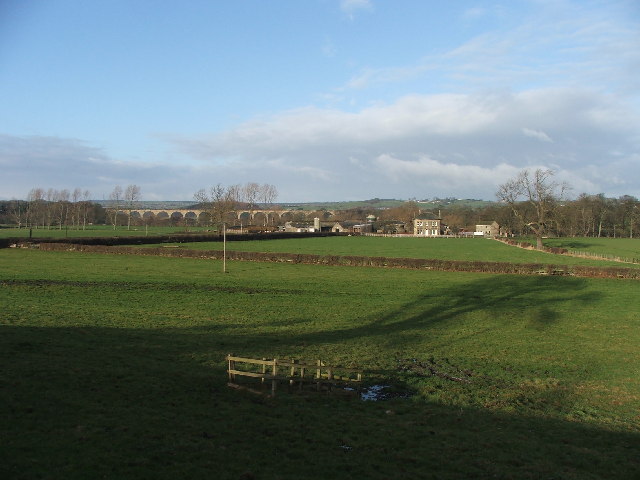
Arthington Viaduct

Arthington Viaduct, listed known as the Wharfedale Viaduct, carries the Harrogate Line across the Wharfe valley between Arthington in West Yorkshire...

Arthington

Arthington is a linear village in Wharfedale, in the City of Leeds metropolitan borough in West Yorkshire, England. It is a civil parish which, according...

Nearby Amenities

Located within 500m of 53.905191,-1.588884
Waterway: weir
Lat/Long: 53.9025887/-1.5941286
Post Box
Collection Times: Mo-Fr 16:15, Sa 10:45
Ref: LS21 650
Royal Cypher: VR
Royal Cypher Wikidata: Q33102356
Source: survey
Lat/Long: 53.9082001/-1.5924517
Manor House
Building: house
Lat/Long: 53.907846/-1.5888869
Greengates
Building: house
Lat/Long: 53.9068835/-1.5926748
Chapel Hill
Natural: peak
Source: OS OpenData StreetView
Lat/Long: 53.9081919/-1.5891967
Barrier: stile
Stile: stepover
Lat/Long: 53.9085318/-1.5922518
The data included in this document is from www.openstreetmap.org. The data is made available under ODbL.

Have you been to Chapel Hill?

Leave your review of Chapel Hill below (or comments, questions and feedback).