Casterton

Civil Parish in Westmorland South Lakeland

England

Casterton

Roadside laithe between Barbon and Casterton Kept in better condition than most, it even has a proper rainwater drainage system.
Roadside laithe between Barbon and Casterton Credit: Stephen Craven

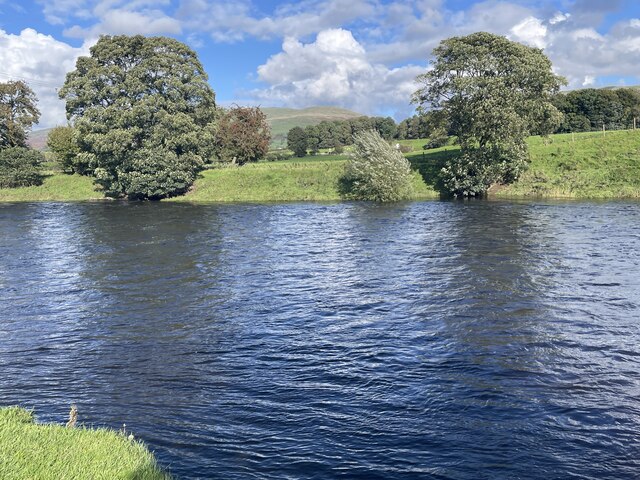
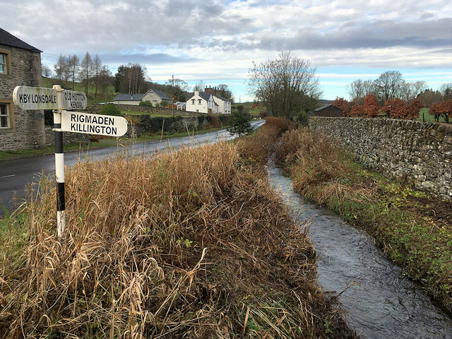
Casterton is a civil parish located in the historic county of Westmorland, in the northwest region of England. It is situated approximately 3 miles south of the town of Kirkby Lonsdale, in the beautiful Lune Valley. The parish covers an area of around 7 square miles and is bordered by the River Lune to the west.

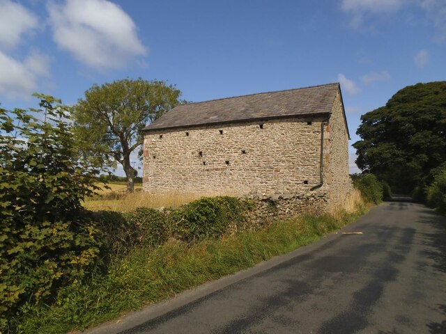
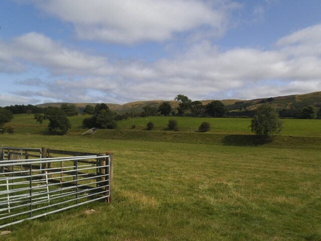
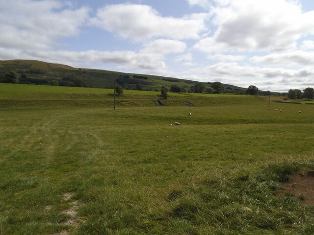
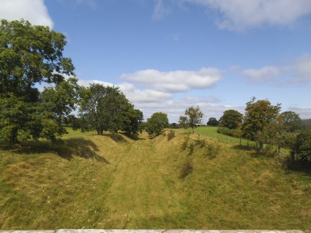
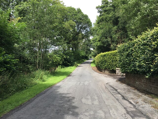
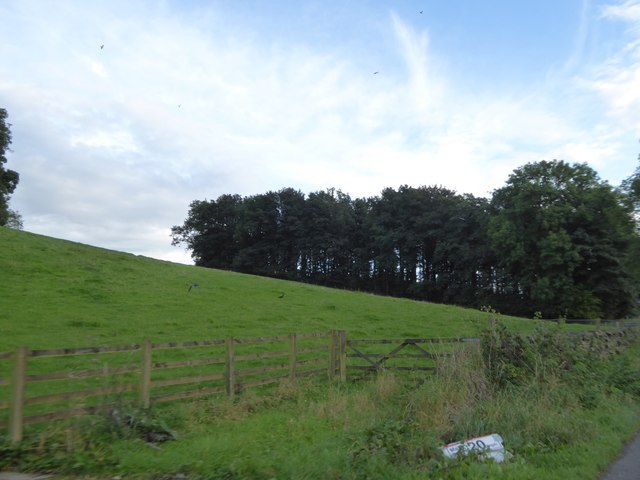
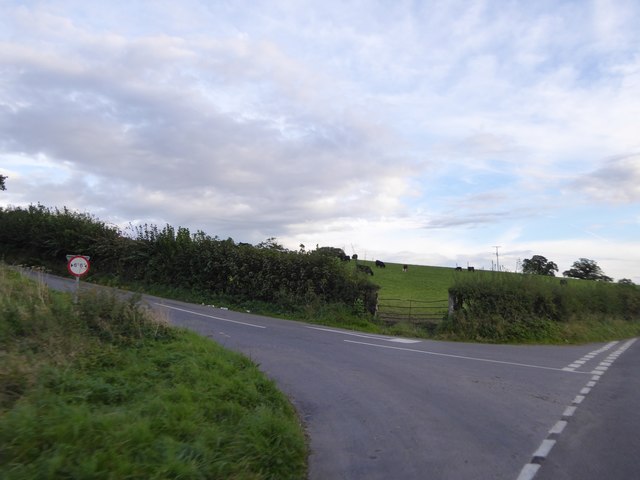
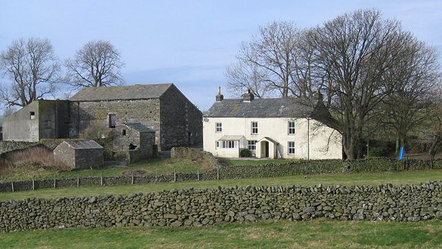
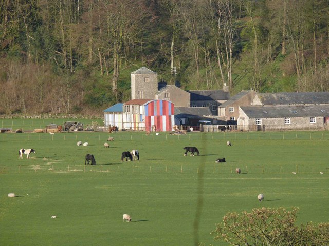
Casterton is a small rural village with a population of around 300 residents. The village is known for its picturesque countryside and charming stone-built houses, which give it a traditional and idyllic character. The surrounding landscape is mainly agricultural, with fields and meadows stretching out in all directions.

One of the notable landmarks in Casterton is the St. James' Church, a Grade II listed building that dates back to the 15th century. The church features a distinctive tower and stained glass windows, and it serves as a focal point for the local community.

The village offers limited amenities, including a primary school, a village hall, and a pub. However, residents can easily access a wider range of facilities in nearby Kirkby Lonsdale, which is known for its vibrant market town atmosphere and diverse mix of shops, restaurants, and cafes.

Casterton is a popular destination for outdoor enthusiasts, thanks to its proximity to the Yorkshire Dales National Park and the Lake District National Park. The area offers numerous opportunities for hiking, cycling, and exploring the stunning natural beauty of the region.

Overall, Casterton is a tranquil and picturesque village, offering a peaceful and rural lifestyle amidst the stunning landscapes of Westmorland.

If you have any feedback on the listing, please let us know in the comments section below.
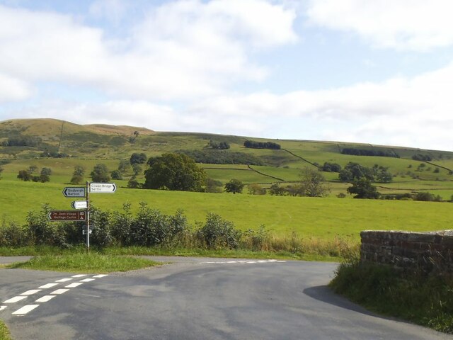
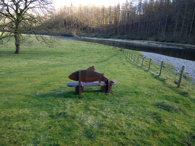
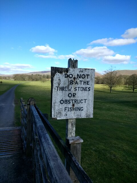
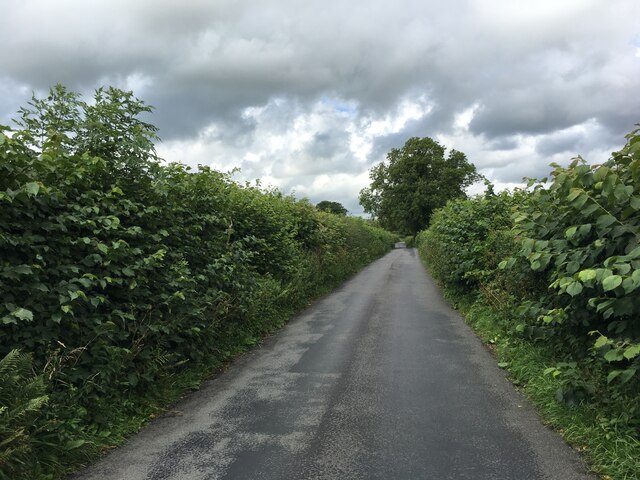
Casterton Images

Images are sourced within 2km of 54.211712/-2.588665 or Grid Reference SD6179. Thanks to Geograph Open Source API. All images are credited.

Roadside laithe between Barbon and Casterton Kept in better condition than most, it even has a proper rainwater drainage system.
Roadside laithe between Barbon and Casterton
Kept in better condition than most, it even has a proper rainwater drainage system.
Disused railway embankment between Barbon and Casterton (1) The railway was the LMS route one between the 'Little North Western' line at Clapham and their main line to Scotland at Lowgill, via Ingleton. It last saw regular trains in 1954 and the track was lifted in 1967.
Disused railway embankment between Barbon and Casterton (1)
The railway was the LMS route one between the 'Little North Western' line at Clapham and their main line to Scotland at Lowgill, via Ingleton. It last saw regular trains in 1954 and the track was lifted in 1967.
Disused railway embankment between Barbon and Casterton (2) The railway was the LMS route one between the 'Little North Western' line at Clapham and their main line to Scotland at Lowgill, via Ingleton. It last saw regular trains in 1954 and the track was lifted in 1967. Note the underpass for farm traffic.
Disused railway embankment between Barbon and Casterton (2)
The railway was the LMS route one between the 'Little North Western' line at Clapham and their main line to Scotland at Lowgill, via Ingleton. It last saw regular trains in 1954 and the track was lifted in 1967. Note the underpass for farm traffic.
Disused railway cutting north of Greenber Lane The railway was the LMS route one between the 'Little North Western' line at Clapham and their main line to Scotland at Lowgill, via Ingleton. It last saw regular trains in 1954 and the track was lifted in 1967. Photo taken from the road bridge <a href="https://www.geograph.org.uk/photo/4523003">SD6280 : Casterton</a>.
Disused railway cutting north of Greenber Lane
The railway was the LMS route one between the 'Little North Western' line at Clapham and their main line to Scotland at Lowgill, via Ingleton. It last saw regular trains in 1954 and the track was lifted in 1967. Photo taken from the road bridge SD6280 : Casterton.
Signpost on Bents Lane Left to Barbon and Sedbergh, right to Sown Bridge and Settle.
Signpost on Bents Lane
Left to Barbon and Sedbergh, right to Sown Bridge and Settle.
Fish bench by the Lune
Prohibition sign by the Lune
Minor road towards Barbon
River Lune Ford This is another old impassable ford on the River Lune at Mansergh.
River Lune Ford
This is another old impassable ford on the River Lune at Mansergh.
Field and patch of woodland south of Barbon One of several small patches of woodland beside the A683
Field and patch of woodland south of Barbon
One of several small patches of woodland beside the A683
Minor road junction north of Casterton
Fell Garth
Fell Garth
Small Stream at Kearstwick
Road Junction at Kearstwick
Old Bridge Marker on Keastwick Bridge South, off the B6254, Kearstwick Bridge Marker just off the B6254, in parish of Kirkby Lonsdale (South Lakeland District), Keastwick Bridge South (at, but not on B6254), built into North parapet.

Inscription reads:- : WCC / KEASTWICK BRIDGE / SOUTH / REPAIRED 1925 :

Surveyed

Milestone Society National ID: WE_KLKDa00br
Old Bridge Marker on Keastwick Bridge South, off the B6254, Kearstwick
Bridge Marker just off the B6254, in parish of Kirkby Lonsdale (South Lakeland District), Keastwick Bridge South (at, but not on B6254), built into North parapet. Inscription reads:- : WCC / KEASTWICK BRIDGE / SOUTH / REPAIRED 1925 : Surveyed Milestone Society National ID: WE_KLKDa00br
Direction Sign - Signpost by the B6254, Kearstwick No finial - 3 arms; by the B6254, in parish of Kirkby Lonsdale (South Lakeland District), Kearstwick.

Surveyed

Milestone Society National ID: WE_SD6080
Direction Sign - Signpost by the B6254, Kearstwick
No finial - 3 arms; by the B6254, in parish of Kirkby Lonsdale (South Lakeland District), Kearstwick. Surveyed Milestone Society National ID: WE_SD6080
Old Milestone by the A683, Barbon parish Carved stone post by the A683, in parish of BARBON (SOUTH LAKELAND District), South of Kirkby Lonsdale Golf Club entrance, just South of minor crossroads into Bardon, on the verge, on West side of road. Sedbergh SKL stone, erected by the Sedbergh turnpike trust in the 19th century. 

Inscription reads:-
: S / 8 : : (BARBON) : : K.L. / 2¾ :
(To Sedbergh and Kirkby Lonsdale)

Grade II listed.  
List Entry Number: 1086927 <span class="nowrap"><a title="https://historicengland.org.uk/listing/the-list/list-entry/1086927" rel="nofollow ugc noopener" href="https://historicengland.org.uk/listing/the-list/list-entry/1086927">Link</a><img style="margin-left:2px;" alt="External link" title="External link - shift click to open in new window" src="https://s1.geograph.org.uk/img/external.png" width="10" height="10"/></span>

Milestone Society National ID: WE_SBKL08.
Old Milestone by the A683, Barbon parish
Carved stone post by the A683, in parish of BARBON (SOUTH LAKELAND District), South of Kirkby Lonsdale Golf Club entrance, just South of minor crossroads into Bardon, on the verge, on West side of road. Sedbergh SKL stone, erected by the Sedbergh turnpike trust in the 19th century. Inscription reads:- : S / 8 : : (BARBON) : : K.L. / 2¾ : (To Sedbergh and Kirkby Lonsdale) Grade II listed. List Entry Number: 1086927 LinkExternal link Milestone Society National ID: WE_SBKL08.
Show me another place!

Casterton is located at Grid Ref: SD6179 (Lat: 54.211712, Lng: -2.588665)

Administrative County: Cumbria

District: South Lakeland

Police Authority: Cumbria

What 3 Words

///procured.prank.archduke. Near Kirkby Lonsdale, Cumbria

Related Wikis

Underley Hall

Underley Hall is a large country house near Kirkby Lonsdale in Cumbria. It was designed in a Jacobean Revival style by the architect George Webster for...

Holy Trinity Church, Casterton

Holy Trinity Church is in the village of Casterton, Cumbria, England. It is an active Anglican parish church in the deanery of Kendal, the archdeaconry...

Casterton School

Casterton School was an independent boarding and day school for girls aged 3 to 18 years in the village of Casterton in rural Cumbria. In its final years...

Casterton, Cumbria

Casterton is a small village and civil parish close to Kirkby Lonsdale on the River Lune in the south east corner of Cumbria, England. In the 2001 census...

Nearby Amenities

Located within 500m of 54.211712,-2.588665
Ridding Wood
Natural: woodland
Source: OS OpenData StreetView
Lat/Long: 54.2148329/-2.5833058
Barrier: stile
Material: wood
Source: survey;gps
Stile: stepover
Lat/Long: 54.2125359/-2.5828447
Barrier: stile
Material: wood
Source: survey;gps
Stile: stepover
Lat/Long: 54.2142064/-2.583315
The data included in this document is from www.openstreetmap.org. The data is made available under ODbL.

Have you been to Casterton?

Leave your review of Casterton below (or comments, questions and feedback).