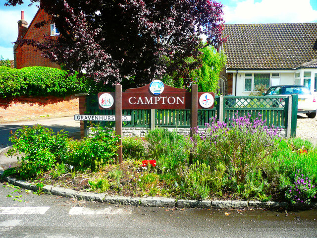
Campton and Chicksands
Civil Parish in Bedfordshire
England
Campton and Chicksands

Campton and Chicksands is a civil parish located in the county of Bedfordshire, England. It is situated approximately 43 miles north of London and is part of the Central Bedfordshire district. The parish includes the villages of Campton and Chicksands, as well as surrounding areas of countryside.
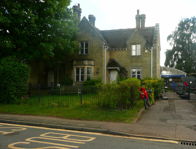
Campton is a small village with a population of around 600 residents. It is characterized by its picturesque rural setting, with charming cottages and historic buildings scattered throughout the area. The village is surrounded by open fields and farmland, offering residents a peaceful and tranquil environment. Amenities in Campton include a village hall, a pub, and a primary school, providing essential services for the local community.
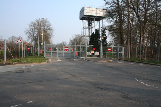
Chicksands, on the other hand, is perhaps best known for its former military base, Chicksands Priory. The priory dates back to the 12th century and has a rich history, having served as a monastery, a mansion, and a military intelligence base. Today, it is home to the Defense Intelligence and Security Centre and is not open to the public.
The parish as a whole benefits from its proximity to nearby towns such as Shefford and Bedford, which offer a wider range of amenities and services. Its location also provides convenient access to major road networks, including the A1 and M1 motorways, making it an attractive area for commuters.
Overall, Campton and Chicksands is a charming civil parish with a rural character and a rich historical background, offering its residents a peaceful countryside lifestyle with easy access to nearby amenities.
If you have any feedback on the listing, please let us know in the comments section below.
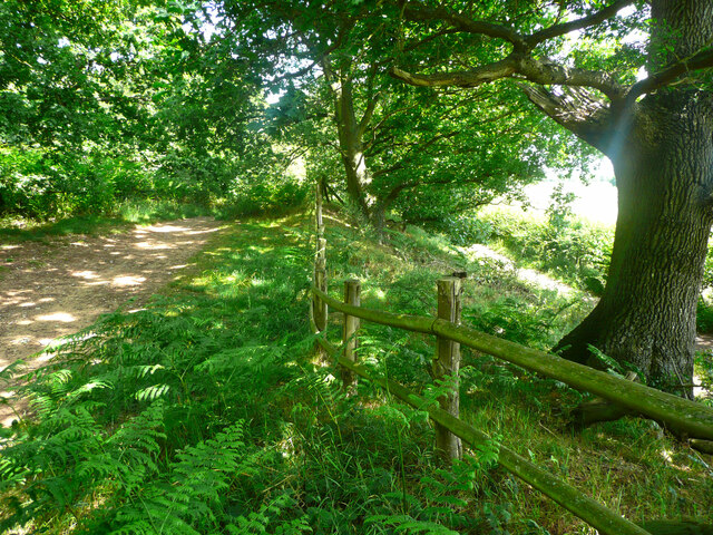
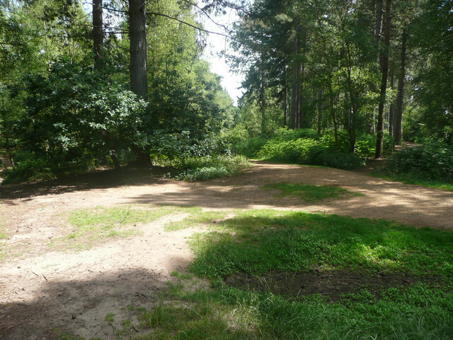
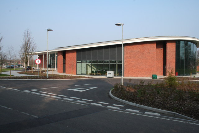
Campton and Chicksands Images
Images are sourced within 2km of 52.039053/-0.372276 or Grid Reference TL1139. Thanks to Geograph Open Source API. All images are credited.


Campton and Chicksands is located at Grid Ref: TL1139 (Lat: 52.039053, Lng: -0.372276)
Unitary Authority: Central Bedfordshire
Police Authority: Bedfordshire
What 3 Words
///schooling.retraced.destroyer. Near Chicksands, Bedfordshire
Nearby Locations
Related Wikis
Chicksands
Chicksands is a village and former civil parish, now in the parish of Campton and Chicksands in the Central Bedfordshire district of Bedfordshire, England...

HMS Ferret (1982 shore establishment)
HMS Ferret is a training unit of the Royal Naval Reserve based at MOD Chicksands in Bedfordshire. == History == HMS Ferret was initially established at...
RAF Chicksands
Royal Air Force Chicksands or more simply RAF Chicksands, was a Royal Air Force station located 7.7 miles (12.4 km) south east of Bedford, Bedfordshire...
Beadlow
Beadlow is a hamlet in the Central Bedfordshire district of Bedfordshire, England. At the 2011 Census the population of the hamlet was included in the...
Woburn Sands Formation
The Woburn Sands Formation is a geological formation in England. Part of the Lower Greensand Group, it is the only unit of the group where it occurs, and...
Beadlow Priory
Beadlow Priory was a monastic foundation established between 1140 and 1146 by Robert D'Albini for a community of Benedictine monks. == History == Around...

Campton, Bedfordshire
Campton is a village and former civil parish, now in the parish of Campton and Chicksands, in the Central Bedfordshire district of Bedfordshire, England...

Mid Bedfordshire (UK Parliament constituency)
Mid Bedfordshire is a constituency represented in the House of Commons of the UK Parliament by Alistair Strathern of the Labour Party since a 2023 by...
Nearby Amenities
Located within 500m of 52.039053,-0.372276Have you been to Campton and Chicksands?
Leave your review of Campton and Chicksands below (or comments, questions and feedback).