Druids Grove

Wood, Forest in Bedfordshire

England

Druids Grove

Part of the car park for Rowney Warren Wood, Southill The car park is also a picnic area.
Part of the car park for Rowney Warren Wood, Southill Credit: Humphrey Bolton

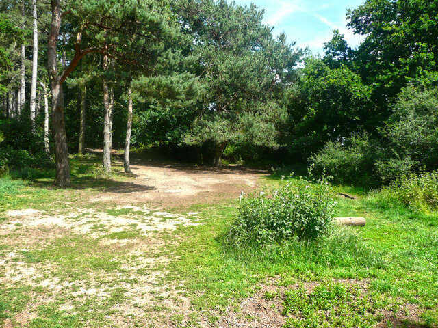
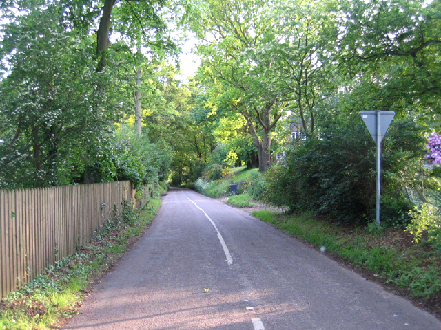
Druids Grove is a picturesque woodland located in Bedfordshire, England. Covering an area of approximately 100 acres, it is a well-preserved and enchanting forest that attracts nature lovers, hikers, and history enthusiasts alike.

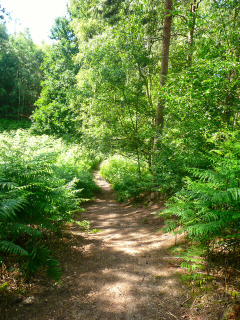
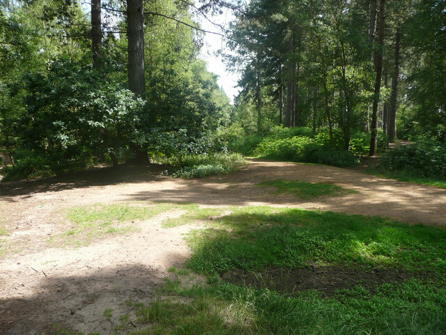
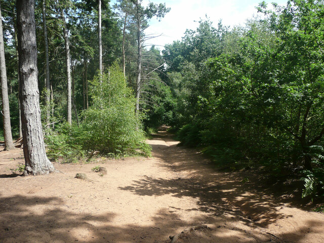
The grove is characterized by its dense canopy of ancient oak and beech trees, which provide a habitat for a diverse range of flora and fauna. The forest floor is carpeted with a variety of wildflowers, creating a vibrant and colorful landscape during the spring and summer months. The rich biodiversity of Druids Grove is a result of its protected status, ensuring the preservation of its natural beauty.

Apart from its natural beauty, Druids Grove holds historical significance. The name itself alludes to the ancient Celtic priests, known as Druids, who are believed to have frequented this forest for their rituals and ceremonies. This connection to the past adds an air of mystique and intrigue to the grove.

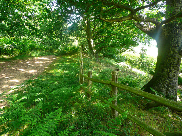
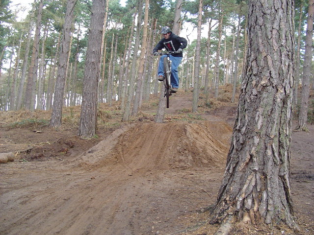
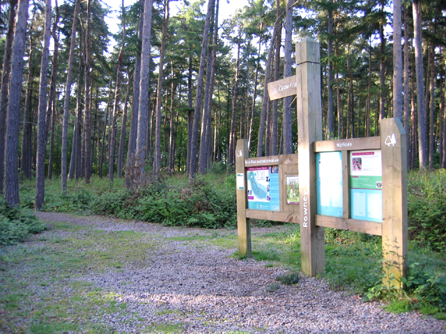
Visitors to Druids Grove can enjoy a network of well-maintained walking trails that wind through the woodland, allowing them to explore its hidden corners and discover its secrets. The peaceful atmosphere and tranquil surroundings make it an ideal destination for those seeking solace in nature.

Druids Grove is a true gem in Bedfordshire, offering a serene escape from the hustle and bustle of modern life. With its breathtaking scenery, historical significance, and abundant wildlife, it is a must-visit destination for nature enthusiasts and history buffs alike.

If you have any feedback on the listing, please let us know in the comments section below.
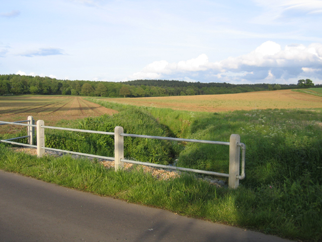
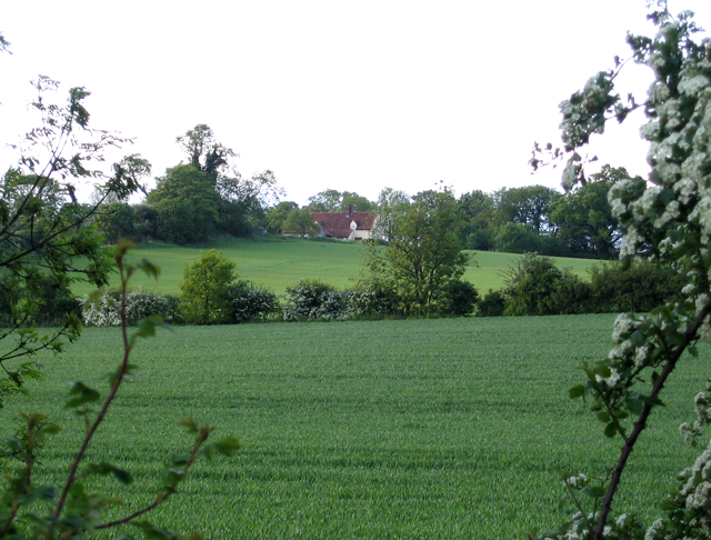
Druids Grove Images

Images are sourced within 2km of 52.045661/-0.37437451 or Grid Reference TL1139. Thanks to Geograph Open Source API. All images are credited.

Part of the car park for Rowney Warren Wood, Southill The car park is also a picnic area.
Part of the car park for Rowney Warren Wood, Southill
The car park is also a picnic area.
Track in Rowney Warren Wood, Southill This track is along the southern edge of the wood.
Track in Rowney Warren Wood, Southill
This track is along the southern edge of the wood.
Path in Rowney Warren Wood, Southill It is all too easy to lose one's sense of direction in this wood, and also my GPS readings did not always indicate a position on one of the paths shown on the 1:25000 map.
Path in Rowney Warren Wood, Southill
It is all too easy to lose one's sense of direction in this wood, and also my GPS readings did not always indicate a position on one of the paths shown on the 1:25000 map.
Track in Rowney Warren Wood, Southill This track goes along the southern edge of the wood, and over the boundary fence at a lower level there is a bridleway, which is part of the John Bunyan Trail. Along the length of the track that I walked there was no connection between the two paths.
Track in Rowney Warren Wood, Southill
This track goes along the southern edge of the wood, and over the boundary fence at a lower level there is a bridleway, which is part of the John Bunyan Trail. Along the length of the track that I walked there was no connection between the two paths.
The John Bunyan Trail at the A600, Shefford The roundabout is at the junction with the B658 Sandy road.
The John Bunyan Trail at the A600, Shefford
The roundabout is at the junction with the B658 Sandy road.
Track junction in Rowney Warren Wood, Southill I am not certain about the grid reference.
Track junction in Rowney Warren Wood, Southill
I am not certain about the grid reference.
Track in Rowney Warren Wood, Southill Position uncertain.
Track in Rowney Warren Wood, Southill
Position uncertain.
Dirt jumper on dirt jumps at Rowney Warren Woods
River Flit, Beadlow, Clophill, Beds a tributary of the River Ivel; view E towards Chicksands.
River Flit, Beadlow, Clophill, Beds
a tributary of the River Ivel; view E towards Chicksands.
Upper Alders, Flit valley, Chicksands, Beds View NNE from near the A507 Ampthill Road across set-aside land.
Upper Alders, Flit valley, Chicksands, Beds
View NNE from near the A507 Ampthill Road across set-aside land.
Hotel, Beadlow This hotel is next to a golf course by the A507. I'm not sure if the hotel is actually open as it seemed a little deserted.
Hotel, Beadlow
This hotel is next to a golf course by the A507. I'm not sure if the hotel is actually open as it seemed a little deserted.
Shefford to Ireland road, Beds running through the centre of the square.
Shefford to Ireland road, Beds
running through the centre of the square.
Rowney Warren pine woodland, Southill, Beds The information board beside the Sandy Lane car park.
Rowney Warren pine woodland, Southill, Beds
The information board beside the Sandy Lane car park.
New Rowney Farm drive, Southill, Beds off the A600 Bedford–Shefford road.
New Rowney Farm drive, Southill, Beds
off the A600 Bedford–Shefford road.
Wood Farm, Appley Corner, Haynes, Beds – view from the Standalone Warren road.
Wood Farm, Appley Corner, Haynes, Beds
– view from the Standalone Warren road.
Standalone Warren lane, Haynes, Beds between the A600 and Appley Corner.
Standalone Warren lane, Haynes, Beds
between the A600 and Appley Corner.
Valley from Appley Corner towards Rowney Warren, Beds forming the Haynes–Chicksands parish boundary; view from the Standalone Warren road.
Valley from Appley Corner towards Rowney Warren, Beds
forming the Haynes–Chicksands parish boundary; view from the Standalone Warren road.
Farmland, Haynes, Beds – view N from the John Bunyan Way towards Northwood End Road.
Farmland, Haynes, Beds
– view N from the John Bunyan Way towards Northwood End Road.
Show me another place!

Druids Grove is located at Grid Ref: TL1139 (Lat: 52.045661, Lng: -0.37437451)

Unitary Authority: Central Bedfordshire

Police Authority: Bedfordshire

What 3 Words

///replaying.parkland.dairy. Near Chicksands, Bedfordshire

Related Wikis

HMS Ferret (1982 shore establishment)

HMS Ferret is a training unit of the Royal Naval Reserve based at MOD Chicksands in Bedfordshire. == History == HMS Ferret was initially established at...
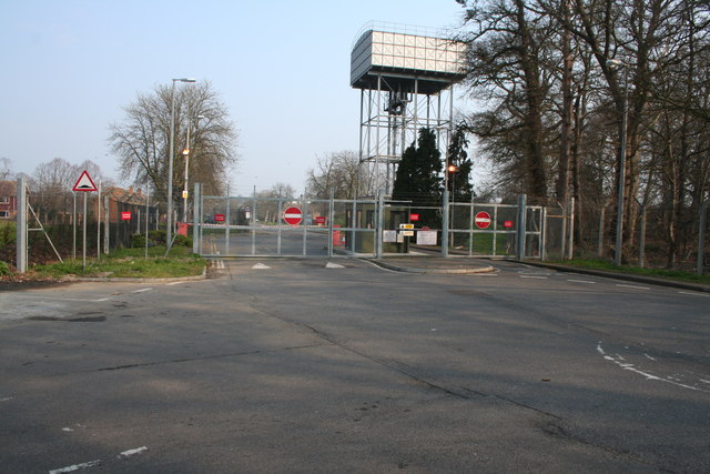
RAF Chicksands

Royal Air Force Chicksands or more simply RAF Chicksands, was a Royal Air Force station located 7.7 miles (12.4 km) south east of Bedford, Bedfordshire...

Chicksands

Chicksands is a village and former civil parish, now in the parish of Campton and Chicksands in the Central Bedfordshire district of Bedfordshire, England...

Woburn Sands Formation

The Woburn Sands Formation is a geological formation in England. Part of the Lower Greensand Group, it is the only unit of the group where it occurs, and...

Beadlow

Beadlow is a hamlet in the Central Bedfordshire district of Bedfordshire, England. At the 2011 Census the population of the hamlet was included in the...

Beadlow Priory

Beadlow Priory was a monastic foundation established between 1140 and 1146 by Robert D'Albini for a community of Benedictine monks. == History == Around...

Camps End

Camps End is a hamlet near Castle Camps in Cambridgeshire, England. == References ==

River Flit

The River Flit is a short river in Bedfordshire, England. Its name is not ancient, but rather a back formation from Flitton which originally meant that...

Nearby Amenities

Located within 500m of 52.045661,-0.37437451
Crossing
Crossing: uncontrolled
Crossing Markings: yes
Lat/Long: 52.0439329/-0.3751605
Bench
Source: GPS, observation
Lat/Long: 52.0418889/-0.3757123
Communication Radio: yes
Man Made: tower
Tower Construction: freestanding
Tower Type: communication
Lat/Long: 52.0443506/-0.3677311
Direction: 210
Generator Method: photovoltaic
Generator Output Electricity: yes
Generator Solar Modules: 252
Generator Source: solar
Generator Type: solar_photovoltaic_panel
Location: roof
Power: generator
Tilt: 10
Lat/Long: 52.0473541/-0.3684397
Crossing
Crossing: uncontrolled
Crossing Markings: yes
Lat/Long: 52.0437322/-0.368557
The data included in this document is from www.openstreetmap.org. The data is made available under ODbL.

Have you been to Druids Grove?

Leave your review of Druids Grove below (or comments, questions and feedback).