Calverton
Civil Parish in Nottinghamshire Gedling
England
Calverton
Calverton is a civil parish located in the Gedling district of Nottinghamshire, England. Situated approximately 9 miles north-east of Nottingham city centre, the village is surrounded by picturesque countryside and has a population of around 7,000 residents.
Historically, Calverton was a mining community, with coal mining being the primary industry for many years. However, with the decline of the coal industry in the 20th century, the village has diversified its economy and is now home to various businesses, shops, and services. The village has a vibrant community spirit and a range of amenities, including a primary school, a library, a health center, and several recreational facilities such as parks, sports clubs, and a leisure center.
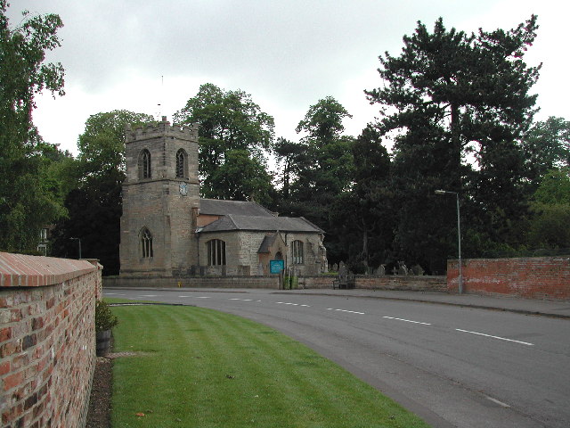
Calverton has a rich history and is known for its connection to the famous poet, Lord Byron. The poet resided in the village during his early childhood, and his former residence, Byron's Walk, is now a popular tourist attraction. The village also boasts several historic buildings and landmarks, including St. Wilfrid's Church, which dates back to the 13th century.
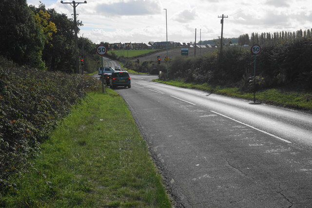
In terms of transportation, Calverton is well-connected to the surrounding areas by road, with the A614 and A60 providing easy access to Nottingham and other nearby towns. Public transportation options include regular bus services that connect the village to Nottingham and other neighboring communities.
Overall, Calverton offers a peaceful and picturesque setting for its residents, with a strong sense of community and a range of amenities to cater to their needs.
If you have any feedback on the listing, please let us know in the comments section below.
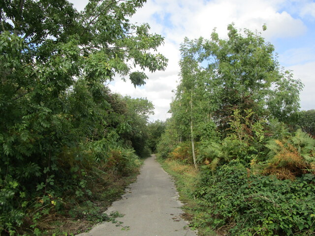
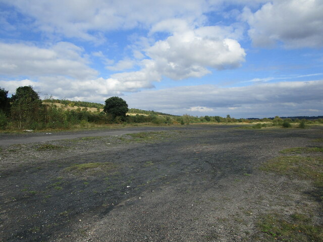
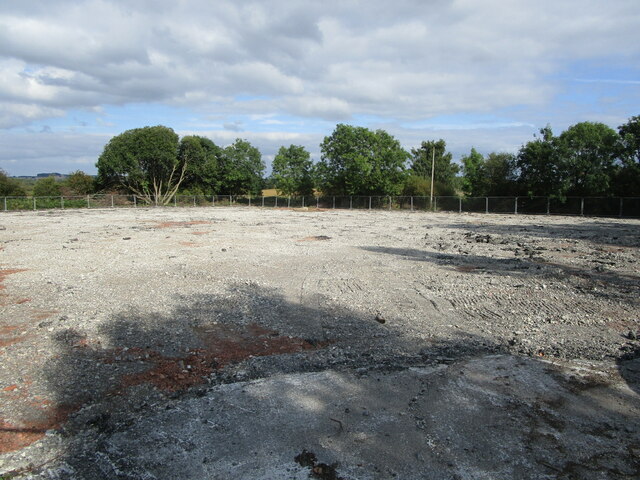
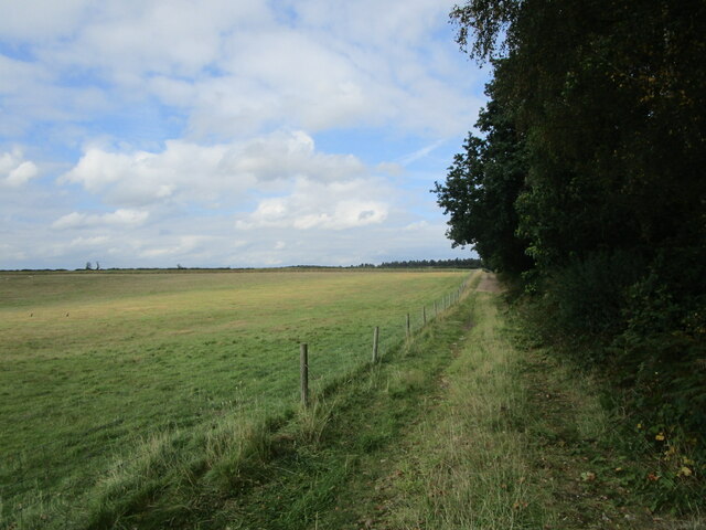
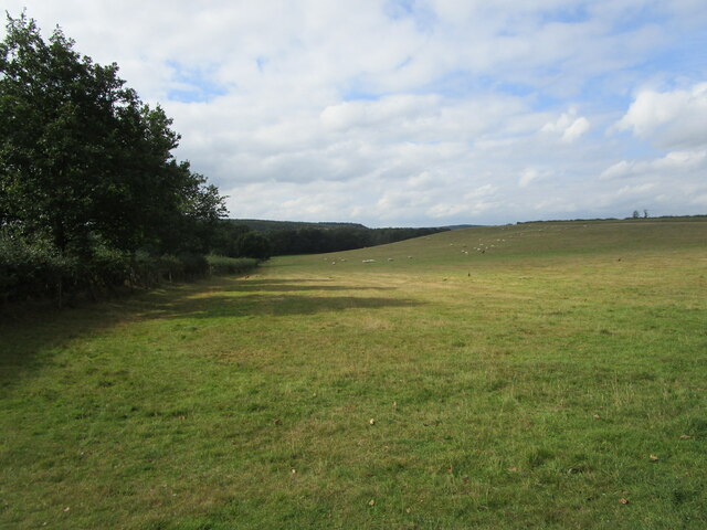
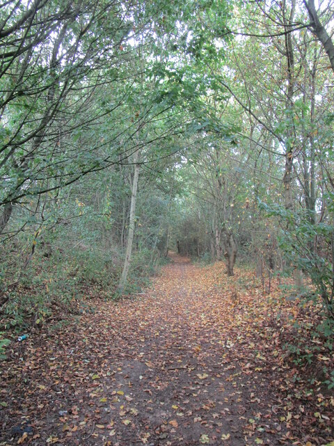
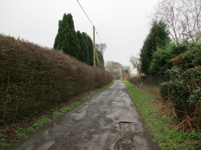
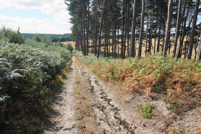
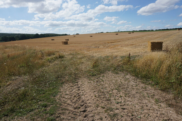
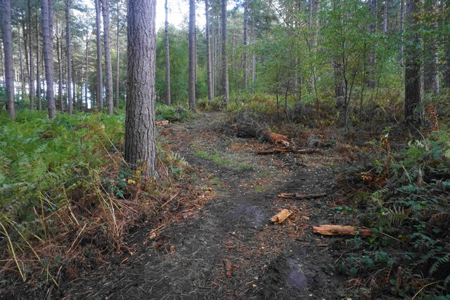
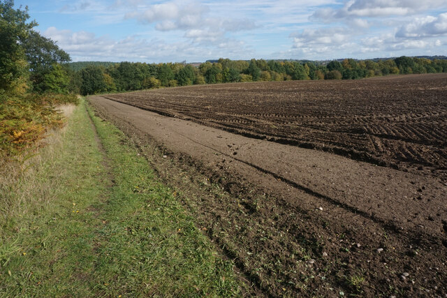
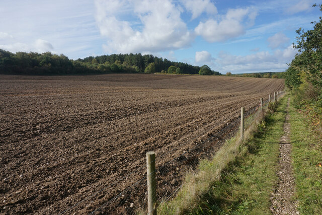
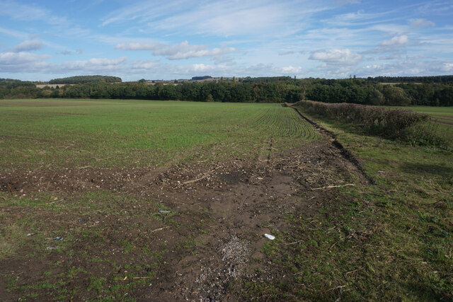
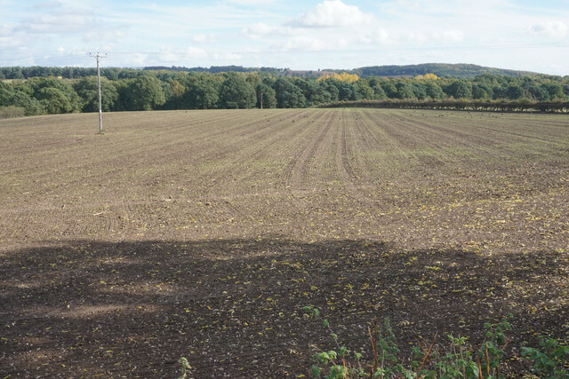
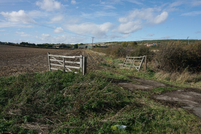
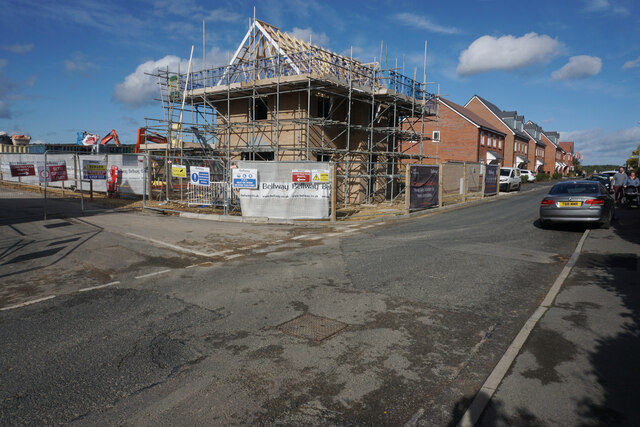
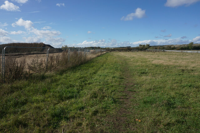
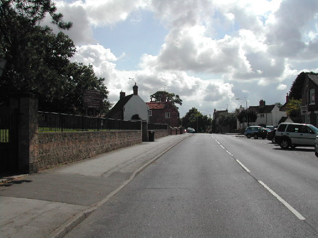
Calverton Images
Images are sourced within 2km of 53.051087/-1.101099 or Grid Reference SK6050. Thanks to Geograph Open Source API. All images are credited.
Calverton is located at Grid Ref: SK6050 (Lat: 53.051087, Lng: -1.101099)
Administrative County: Nottinghamshire
District: Gedling
Police Authority: Nottinghamshire
What 3 Words
///evolving.boldest.desktops. Near Calverton, Nottinghamshire
Nearby Locations
Related Wikis

Calverton Miners' Welfare F.C.
Calverton Miners' Welfare Football Club is an association football club in Calverton, near Nottingham, Nottinghamshire, England. They are currently members...
Colonel Frank Seely Academy
Colonel Frank Seely Academy (formerly Colonel Frank Seely School) is a coeducational secondary school and sixth form located in Calverton in the English...
Arnold Town F.C.
Arnold Town Football Club is a football club based in Arnold, Nottinghamshire, England. They are currently members of the Central Midlands League South...
Calverton, Nottinghamshire
Calverton () is a village and civil parish in Nottinghamshire, of some 3,300 acres (1,300 ha), in the Gedling district, about 7 miles north-east of Nottingham...
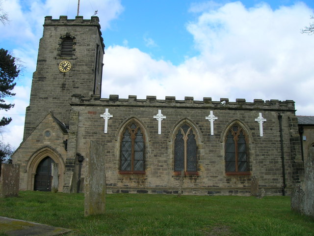
St Wilfrid's Church, Calverton
St Wilfrid's Church is a Grade II* listed parish church in the Church of England in Calverton, Nottinghamshire. == History == St Wilfrid’s church seems...

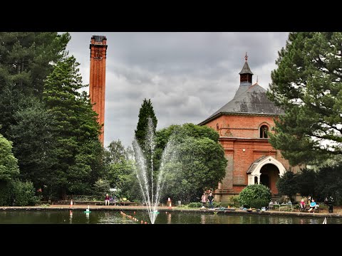
Papplewick Pumping Station
Papplewick Pumping Station, situated in open agricultural land approximately 3 miles (4.8 km) by road from the Nottinghamshire village of Papplewick, was...
Oxton, Nottinghamshire
Oxton is a village in Nottinghamshire, England, with a 568 residents at the 2011 census. It is located 5 miles (8 km) west of Southwell, 5 miles (8 km...
St Peter & St Paul's Church, Oxton
St Peter & St Paul's Church, Oxton is a Grade I listed parish church in the Church of England in Oxton, Nottinghamshire. == History == The church dates...
Related Videos

Who leaving these here? #walking #hiking #pants
Watch the full length video - https://youtu.be/rkQkuxIoOy0.

Travel to the river splash #automobile #fordcrossing
Van traveling through Beanford ford Oxton #automobile #fordcrossing #rivercrossing.

Steam Beam Engines at Papplewick Pumping Station
Visit Papplewick Pumping Station on a steam day to view the beam engines in action. It was made by James Watt & Co to pump ...
Nearby Amenities
Located within 500m of 53.051087,-1.101099Have you been to Calverton?
Leave your review of Calverton below (or comments, questions and feedback).