Calvert Green
Civil Parish in Buckinghamshire
England
Calvert Green
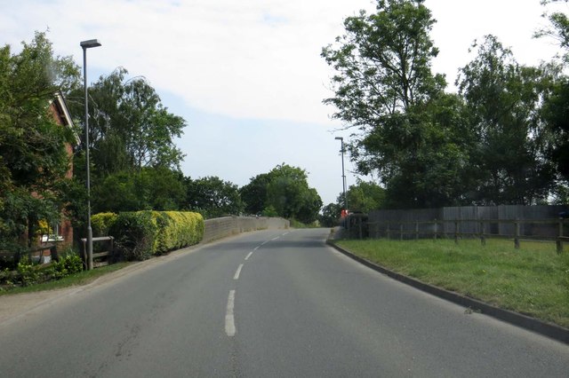
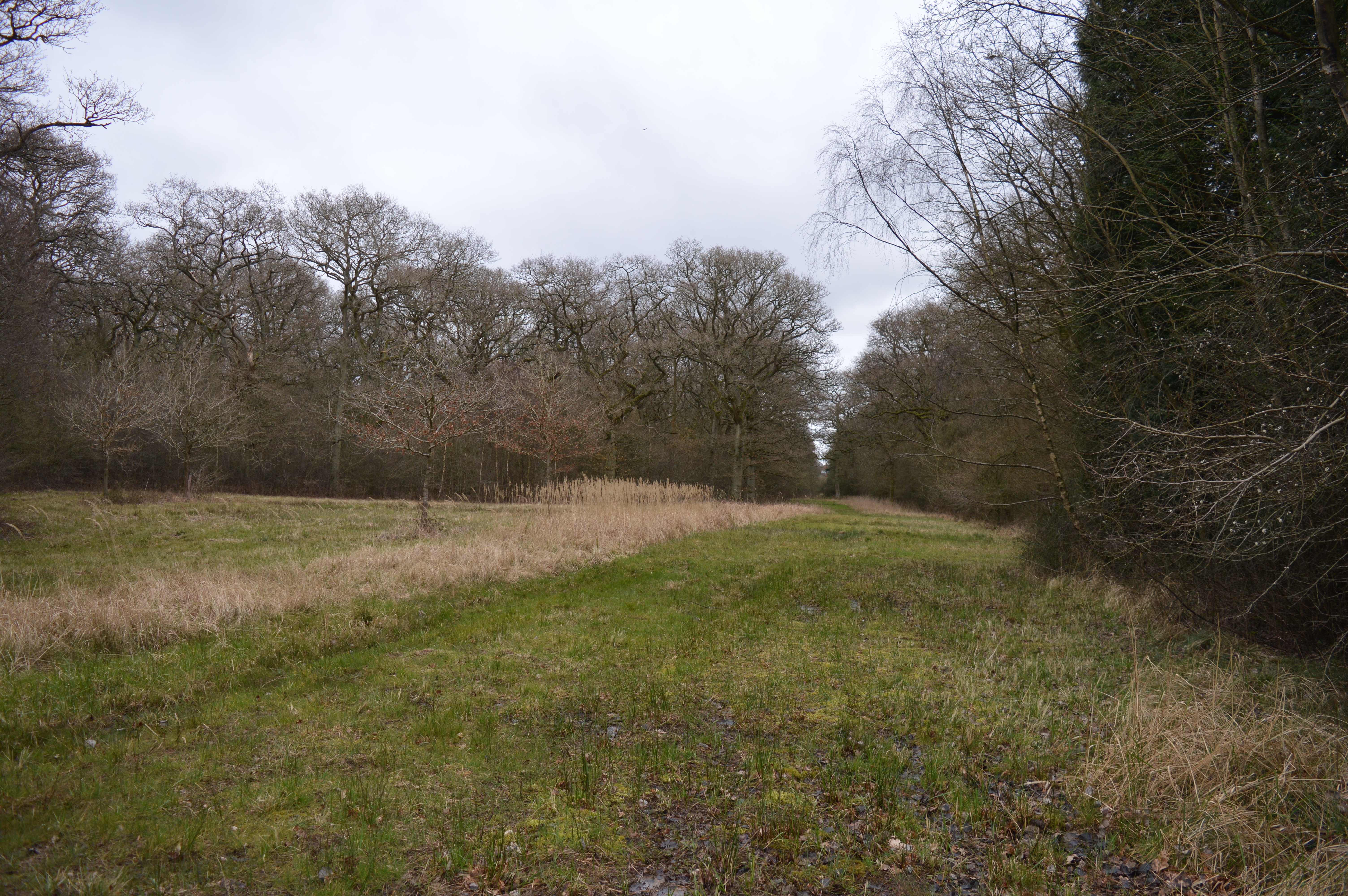
Calvert Green is a civil parish located in Buckinghamshire, England. It is a small village situated about three miles west of Winslow and seven miles north of Aylesbury. The parish is surrounded by open countryside, offering residents a peaceful and rural setting.
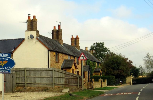
The village itself is relatively new, having been developed in the late 20th century as a part of the Calvert Green Eco Town project. The project aimed to create a sustainable and environmentally friendly community. As a result, the village features modern and energy-efficient housing, with a mix of detached and semi-detached houses.
Despite its small size, Calvert Green has a strong sense of community. The village has a community hall that hosts various events and activities, providing opportunities for residents to socialize and engage with one another. There is also a children's play area, making it an attractive place for families.
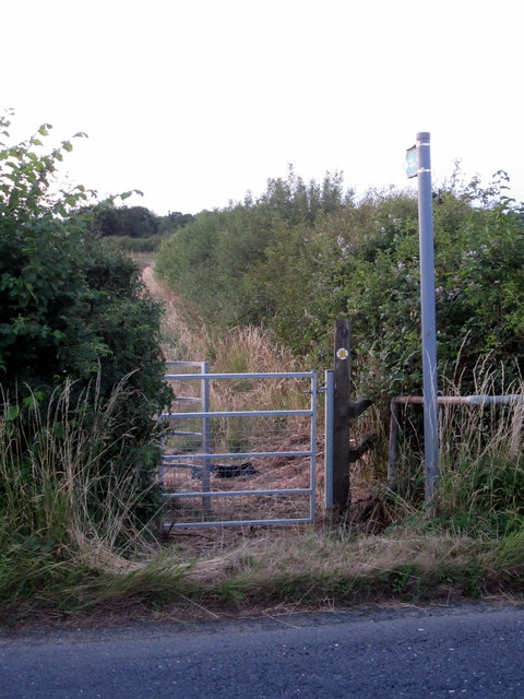
The surrounding area offers plenty of outdoor recreational opportunities. Calvert Green is close to the Bernwood Forest, which provides walking and cycling trails, as well as a variety of wildlife. Additionally, the nearby Grand Union Canal offers scenic walks and boating activities.
In terms of amenities, Calvert Green has a convenience store, providing essential groceries and daily necessities. However, for more extensive shopping and leisure facilities, residents can easily access nearby towns and cities such as Aylesbury, Milton Keynes, and Bicester.
Overall, Calvert Green offers a modern and sustainable living environment, with a strong community spirit and access to beautiful countryside.
If you have any feedback on the listing, please let us know in the comments section below.
Calvert Green Images
Images are sourced within 2km of 51.904961/-0.993494 or Grid Reference SP6923. Thanks to Geograph Open Source API. All images are credited.


Calvert Green is located at Grid Ref: SP6923 (Lat: 51.904961, Lng: -0.993494)
Unitary Authority: Buckinghamshire
Police Authority: Thames Valley
What 3 Words
///cornfield.casually.canoe. Near Steeple Claydon, Buckinghamshire
Nearby Locations
Related Wikis
Sheephouse Wood
Sheephouse Wood is a 56.9-hectare (141-acre) biological Site of Special Scientific Interest east of Charndon in Buckinghamshire.The site has ancient pedunculate...

Calvert Green
Calvert Green is a civil parish in Aylesbury Vale, Buckinghamshire, England. It was created in 2003 from parts of Charndon and Steeple Claydon civil parishes...
Calvert, Buckinghamshire
Calvert is a village in Buckinghamshire, England, near the village of Steeple Claydon. Originally named after a wealthy local family who had inherited...
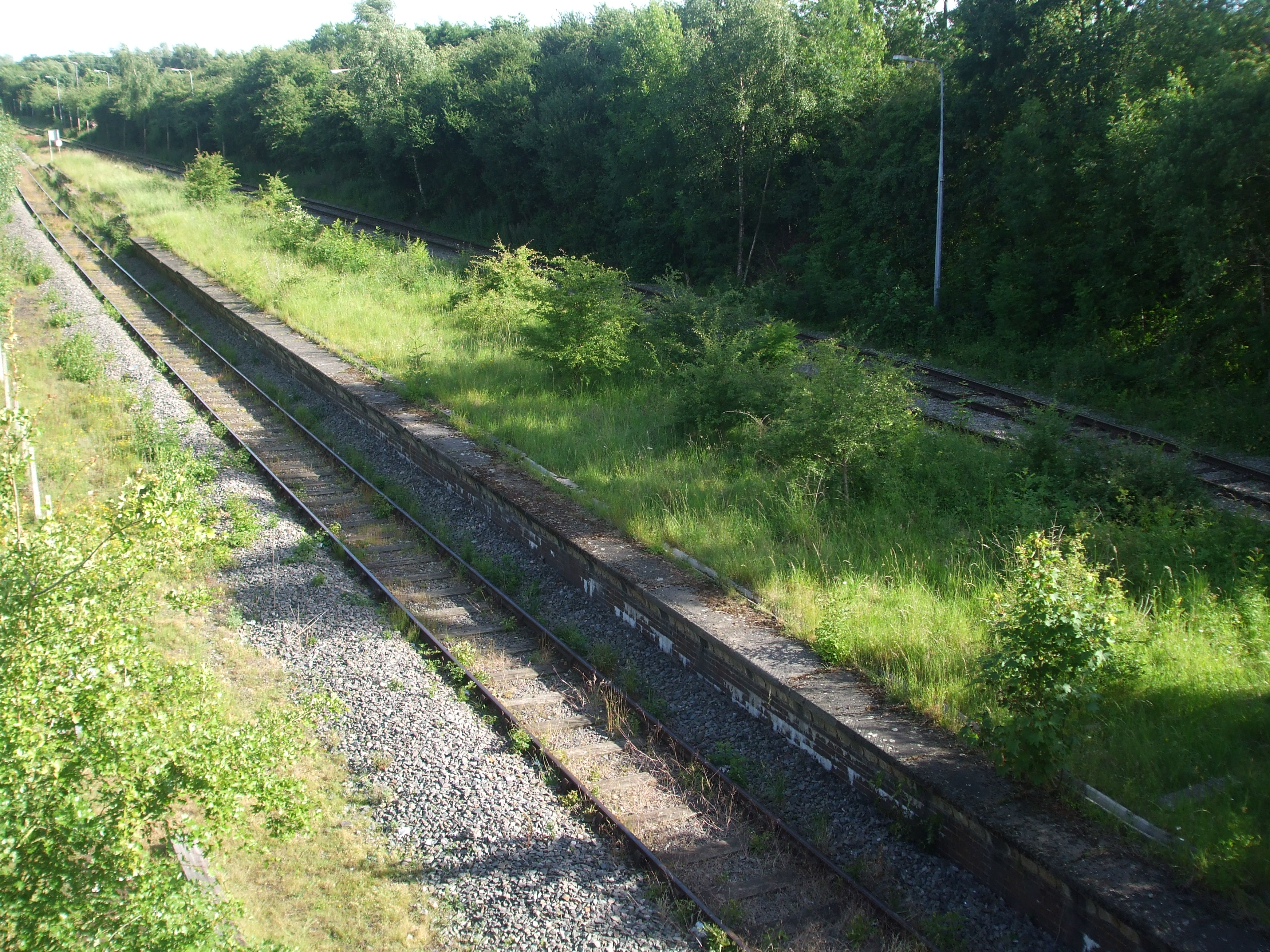
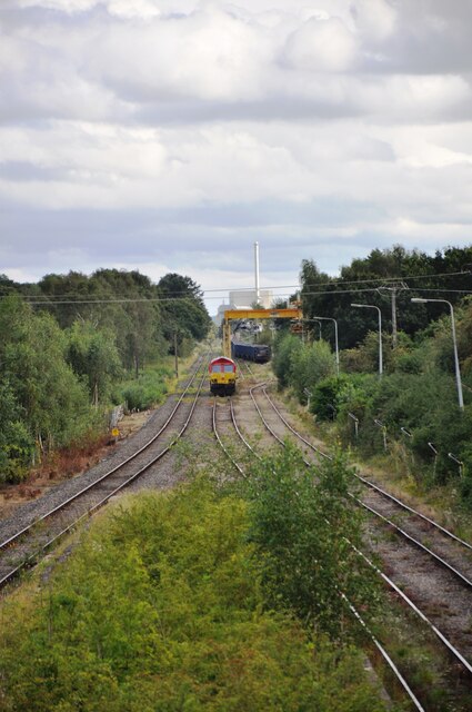
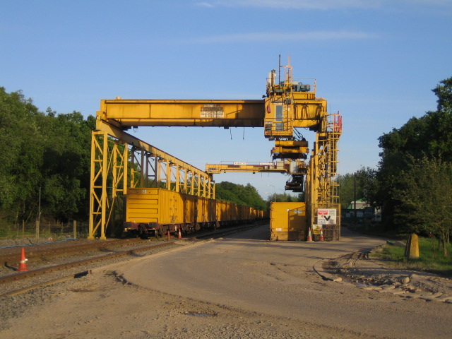
Calvert railway station
Calvert was a railway station at Calvert, Buckinghamshire on the former Great Central Main Line between Manchester Piccadilly and London Marylebone. The...
Nearby Amenities
Located within 500m of 51.904961,-0.993494Have you been to Calvert Green?
Leave your review of Calvert Green below (or comments, questions and feedback).