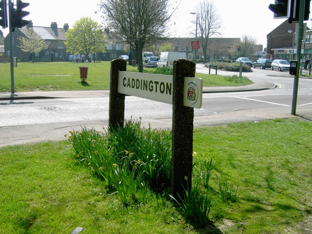
Caddington
Civil Parish in Hertfordshire
England
Caddington
Caddington is a civil parish located in the county of Hertfordshire, England. It is situated about 5 miles south of Luton and has a population of around 4,000 residents. The parish is part of the Central Bedfordshire district and is bordered by the parishes of Slip End, Chaul End, Markyate, and Kensworth.
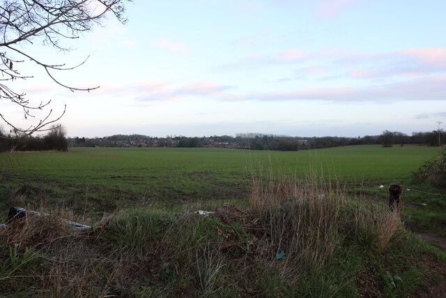
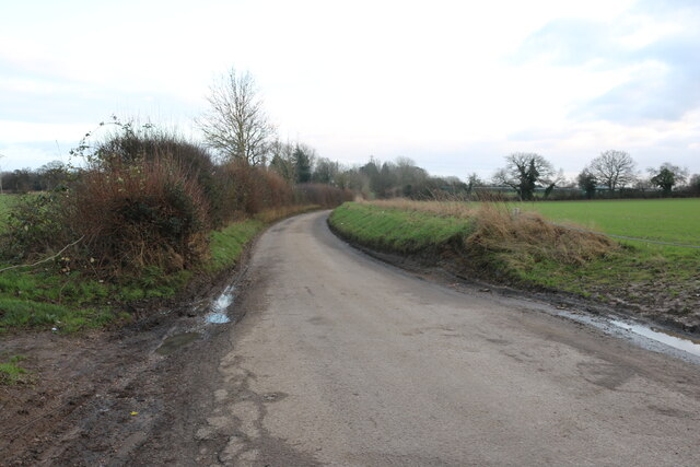
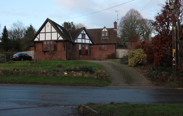
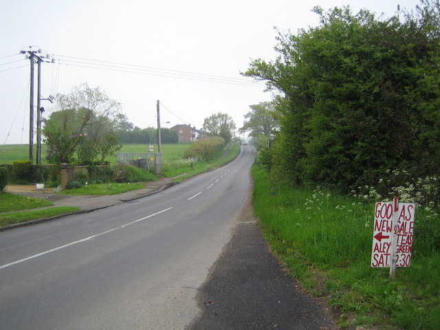
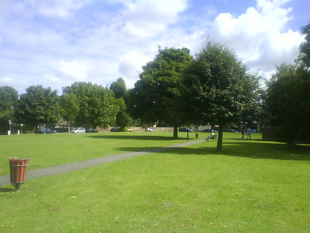
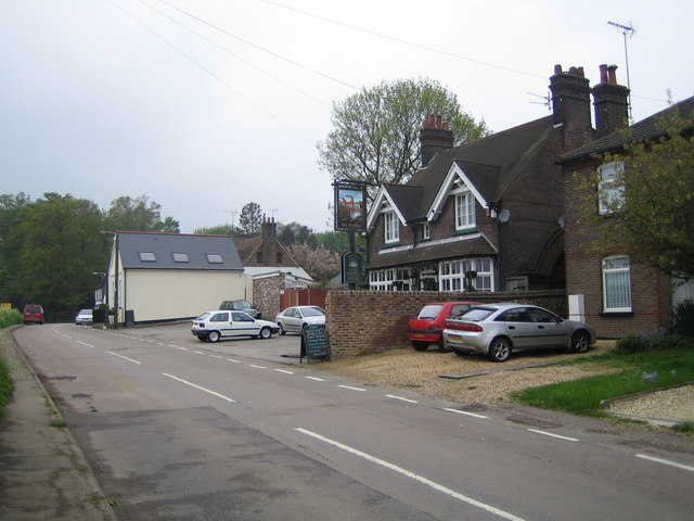
The village of Caddington itself is charming and picturesque, with a mix of traditional and modern architecture. It has a rich history dating back to the Roman times, as evidenced by the discovery of Roman coins and pottery in the area. The village is known for its beautiful countryside, with rolling hills and scenic landscapes, making it an ideal location for nature lovers and outdoor enthusiasts.
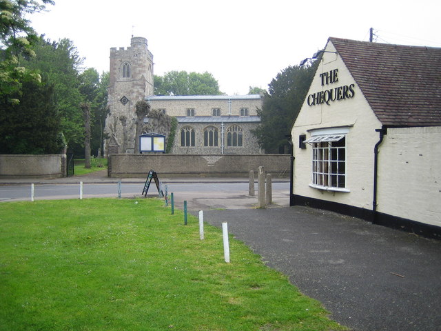
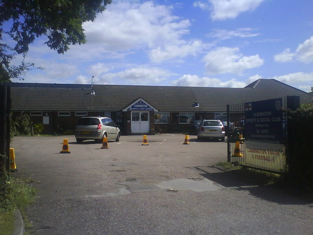
Caddington offers a range of amenities and facilities for its residents. The village has a primary school, a pub, a post office, and a small selection of shops and local businesses. There are also several community groups and organizations that provide various activities and events throughout the year, fostering a strong sense of community.
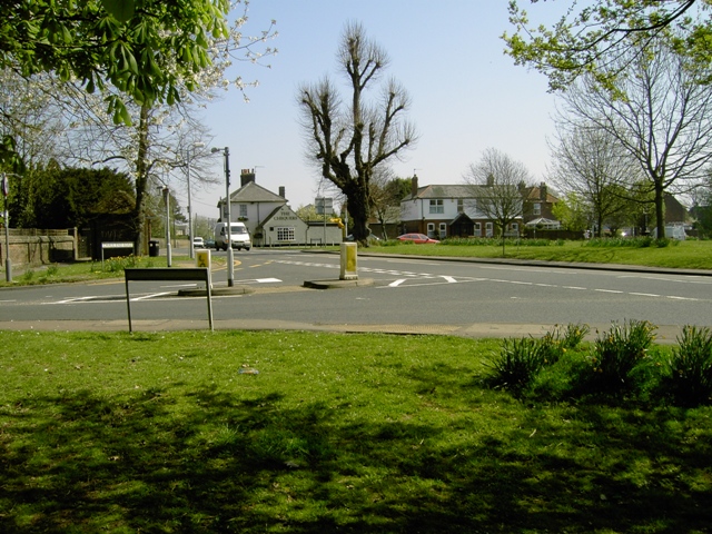
Transport links in Caddington are excellent, with easy access to the M1 motorway and nearby train stations in Luton and Harpenden. This makes it a convenient location for commuters working in London or other neighboring towns and cities.
Overall, Caddington is a peaceful and attractive parish with a close-knit community and a wealth of natural beauty. It offers a high quality of life for its residents, making it a desirable place to live in Hertfordshire.
If you have any feedback on the listing, please let us know in the comments section below.
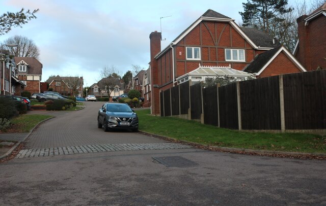
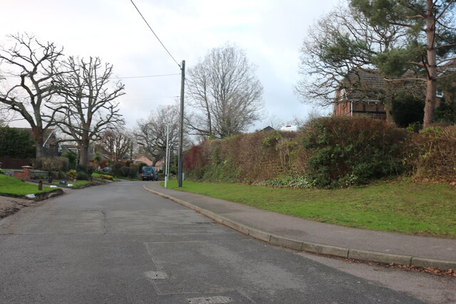
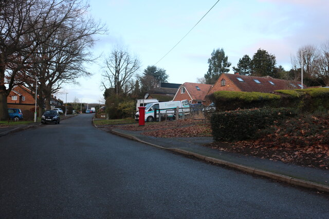
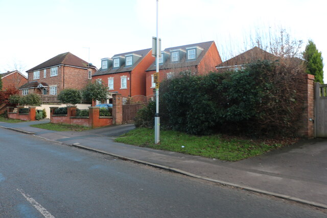
Caddington Images
Images are sourced within 2km of 51.870825/-0.469392 or Grid Reference TL0520. Thanks to Geograph Open Source API. All images are credited.


Caddington is located at Grid Ref: TL0520 (Lat: 51.870825, Lng: -0.469392)
Unitary Authority: Central Bedfordshire
Police Authority: Bedfordshire
What 3 Words
///grand.enable.splash. Near Caddington, Bedfordshire
Nearby Locations
Related Wikis

Caddington
Caddington is a village and civil parish in the Central Bedfordshire district of Bedfordshire, England. It is south of Luton. The western border of the...

Zouches Farm transmitting station
Zouches Farm transmitting station is a microwave radio link site located near the top of Blows Downs at Zouches Farm, Caddington, Bedfordshire, England...

Cottage Bottom Fields
Cottage Bottom Fields is a 14.1 hectare local nature reserve in Dunstable in Bedfordshire. It is owned and managed by Central Bedfordshire Council.The...
Caddington F.C.
Caddington F.C. are a football club based in Caddington, near Luton, England. The club is affiliated to the Bedfordshire County Football Association and...
Skimpot
Skimpot is a suburb of Luton, in Bedfordshire, England. The area is roughly bounded by Dunstable Road to the north, Hatters Way to the south, Skimpot Road...
Chaul End railway station
Chaul End was a temporary railway halt on the Great Northern Railway's branch line from Welwyn which served a munitions factory near Luton during the First...
Stockwood Park Academy
The Stockwood Park Academy is a Mixed secondary school and sixth form located in Rotheram Avenue Luton, Bedfordshire, England and is part of The Shared...
Woodside, Bedfordshire
Woodside is a hamlet located in the Central Bedfordshire district of Bedfordshire, England. Located at the junction of Woodside Road and Grove Road, Woodside...
Nearby Amenities
Located within 500m of 51.870825,-0.469392Have you been to Caddington?
Leave your review of Caddington below (or comments, questions and feedback).