Bygrave
Civil Parish in Hertfordshire North Hertfordshire
England
Bygrave

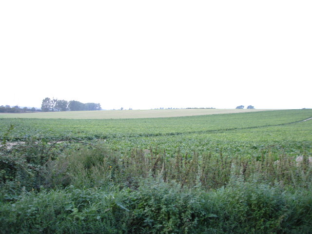
Bygrave is a small civil parish located in the county of Hertfordshire, England. Situated approximately 3 miles northeast of Baldock, the parish covers an area of around 3 square miles. Bygrave is surrounded by picturesque countryside, featuring rolling hills, farmland, and scattered woodlands.
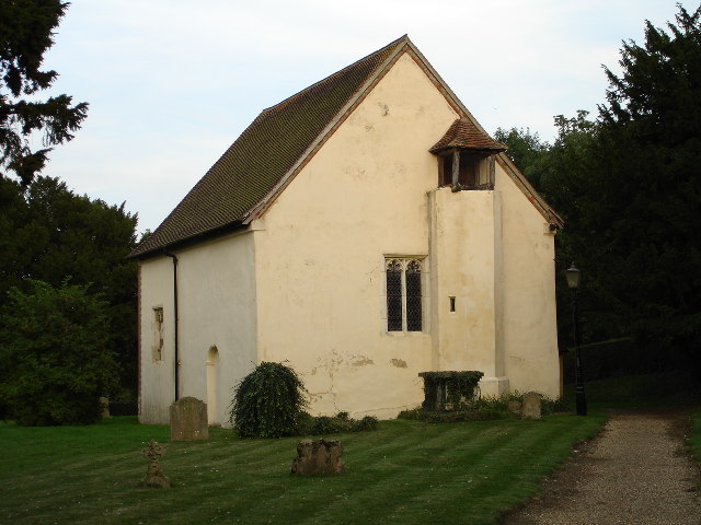
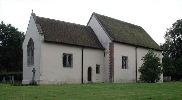
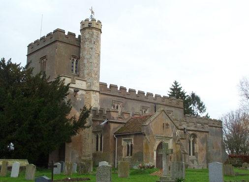
The village of Bygrave itself is home to a small population, with a charming and peaceful atmosphere. Its historical roots can be traced back to the medieval period, as evidenced by the presence of the Grade II listed St. Margaret's Church, a beautiful 12th-century structure that serves as a focal point for the community.
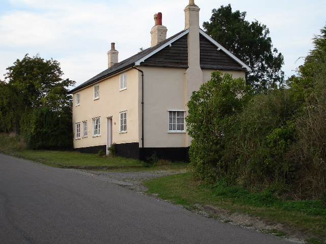
The parish is predominantly rural, with a few scattered residential properties and cottages. Agriculture plays a significant role in the local economy, with fields and farmlands surrounding the village. This contributes to the overall tranquility and scenic beauty of the area.
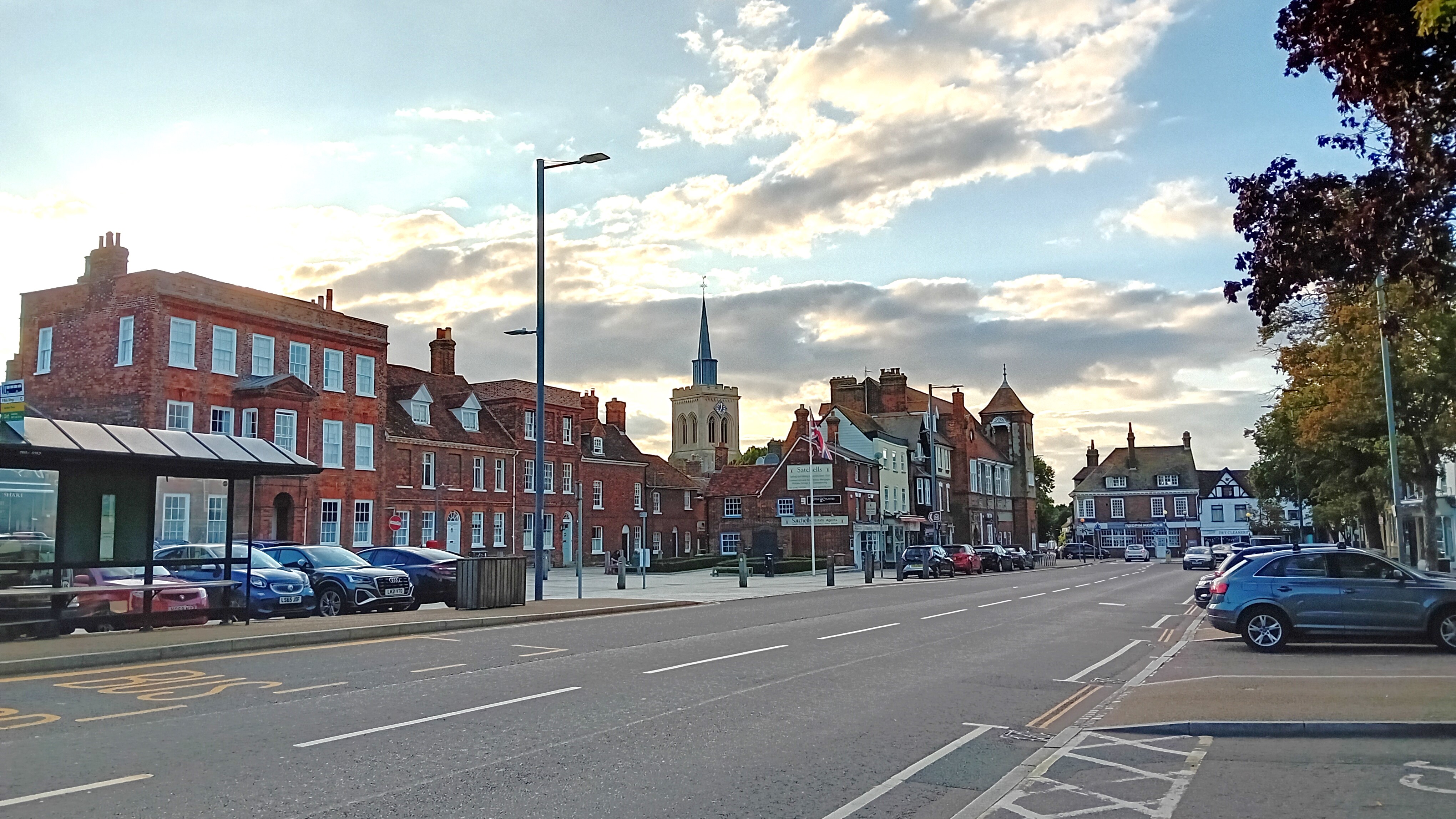
Despite its small size, Bygrave benefits from its proximity to larger towns and cities. Baldock, just a short drive away, offers a range of amenities, including shops, restaurants, and schools. The parish is also well-connected through nearby transportation links, with the A1(M) motorway providing access to London and other major cities.
Bygrave is a place that offers a peaceful retreat from the hustle and bustle of urban life. Its natural beauty, historical landmarks, and rural character make it an attractive destination for those seeking a tranquil lifestyle in a picturesque English village.
If you have any feedback on the listing, please let us know in the comments section below.
Bygrave Images
Images are sourced within 2km of 52.006175/-0.164069 or Grid Reference TL2635. Thanks to Geograph Open Source API. All images are credited.


Bygrave is located at Grid Ref: TL2635 (Lat: 52.006175, Lng: -0.164069)
Administrative County: Hertfordshire
District: North Hertfordshire
Police Authority: Hertfordshire
What 3 Words
///flitting.finally.example. Near Baldock, Hertfordshire
Nearby Locations
Related Wikis
Bygrave
Bygrave is a village and civil parish in the North Hertfordshire district of Hertfordshire, England, about 2 miles north-east of Baldock. In the 10th...
Church of St Margaret of Antioch, Bygrave
The Church of St Margaret of Antioch is the Anglican parish church for the village of Bygrave in Hertfordshire. Dedicated to St Margaret of Antioch, the...
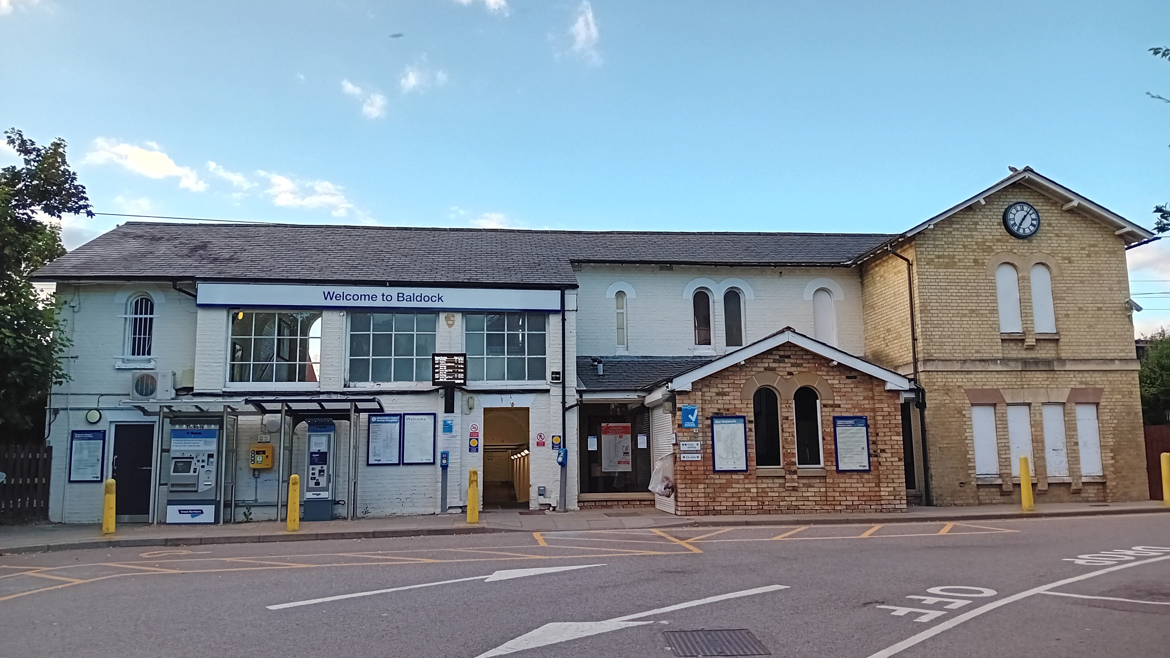
Baldock railway station
Baldock railway station serves the historic market town of Baldock in Hertfordshire, England. It is on the Cambridge Line, 36 miles 47 chains (58.9 km...
Newnham, Hertfordshire
Newnham is a small village and civil parish near Ashwell in the North Hertfordshire district, in the county of Hertfordshire, England. It shares a grouped...
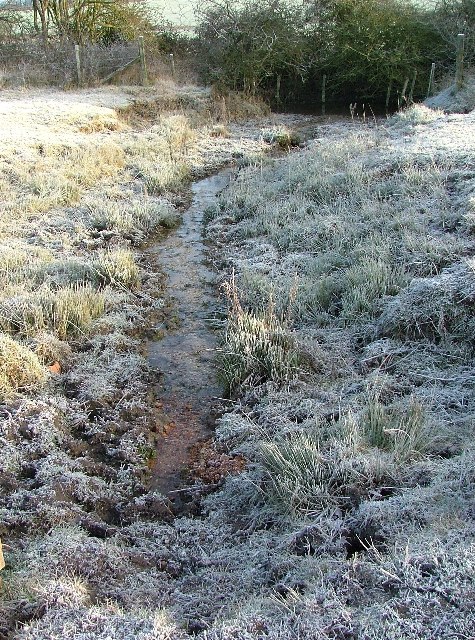
Ivel Springs
Ivel Springs is a 15.4 hectare Local Nature Reserve in Baldock in Hertfordshire. It is owned and managed by North Hertfordshire District Council, assisted...
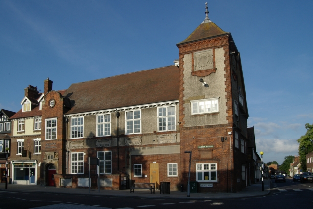
Baldock Town Hall
Baldock Town Hall is a municipal building in the High Street, Baldock, Hertfordshire, England. The structure, which now operates as an arts and heritage...
Baldock
Baldock ( BAWL-dək) is a historic market town in the North Hertfordshire district of Hertfordshire, England. The River Ivel rises from springs in the town...

Church of St Mary the Virgin, Baldock
The Church of St Mary the Virgin is a parish church of the Church of England in Baldock in Hertfordshire. Dedicated to the Virgin Mary, the original church...
Nearby Amenities
Located within 500m of 52.006175,-0.164069Have you been to Bygrave?
Leave your review of Bygrave below (or comments, questions and feedback).