Green, Broad
Settlement in Essex Colchester
England
Green, Broad
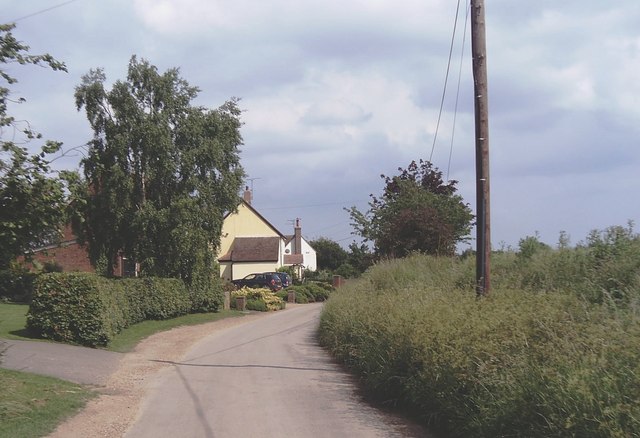
Green, Broad is a small village located in the county of Essex, England. Situated approximately 10 miles northeast of Chelmsford, it is nestled amidst the picturesque Essex countryside. The village is characterized by its tranquil and rural setting, offering a peaceful escape from the hustle and bustle of city life.
Green, Broad is primarily a residential area, with a population of around 500 residents. The village boasts a close-knit community, known for its friendly and welcoming nature. Although small, it offers a range of amenities to cater to the needs of its residents, including a village shop, a primary school, and a local pub.
Surrounded by rolling fields and meadows, Green, Broad is a haven for nature lovers and outdoor enthusiasts. The village is situated near the River Blackwater, providing opportunities for fishing and boating. Additionally, there are several walking and cycling routes in the vicinity, allowing residents to explore the beautiful Essex countryside.
The village is well-connected to the surrounding areas, with good transport links. The nearby A12 road provides easy access to Chelmsford and Colchester, while the closest train station is located in the neighboring village of Great Totham.
Overall, Green, Broad offers a peaceful and idyllic lifestyle, with its charming rural setting and strong community spirit. It is a place where residents can enjoy the tranquility of the countryside while still being within reach of larger towns and cities.
If you have any feedback on the listing, please let us know in the comments section below.
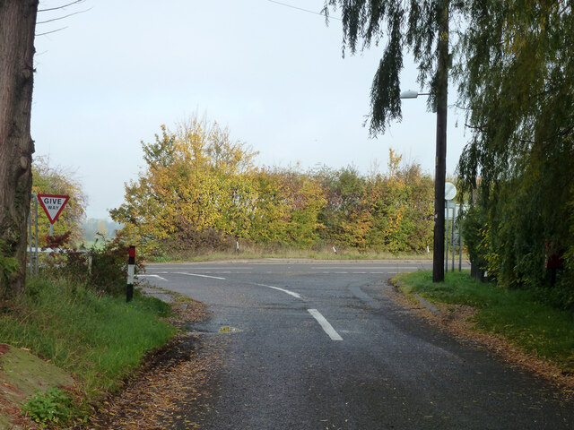
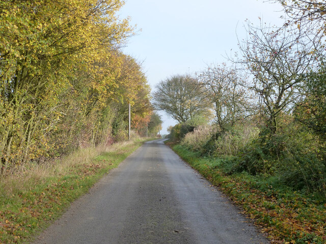
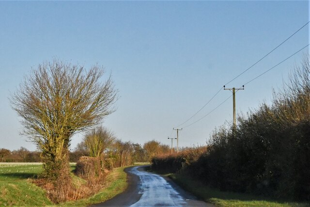
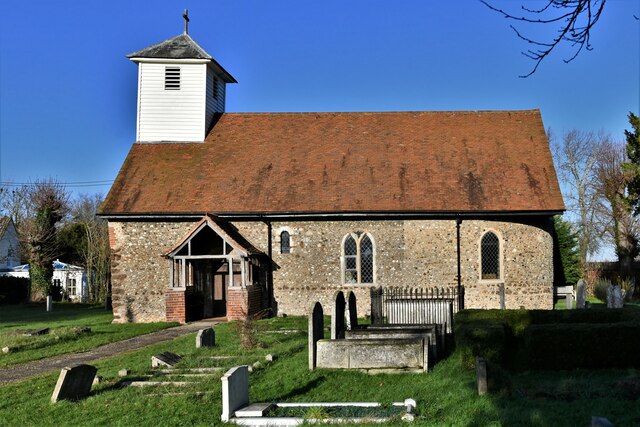
Green, Broad Images
Images are sourced within 2km of 51.87449/0.724446 or Grid Reference TL8723. Thanks to Geograph Open Source API. All images are credited.


Green, Broad is located at Grid Ref: TL8723 (Lat: 51.87449, Lng: 0.724446)
Administrative County: Essex
District: Colchester
Police Authority: Essex
What 3 Words
///relate.greet.dust. Near Coggeshall, Essex
Nearby Locations
Related Wikis

Surrex
Surrex is a hamlet in the civil parish of Coggeshall, and the Braintree district of Essex, England. The hamlet is at the junction of the A120 road and...

Skye Green
Skye Green is a hamlet at the north the civil parish of Feering, and in the Braintree district of Essex, England. The hamlet is situated between the village...
East Gores
East Gores is a hamlet in the Colchester district, in the English county of Essex. It is near the A120 road. == References == http://www.a-zmaps.co.uk/...

Little Tey
Little Tey is a village in the City of Colchester district of Essex, England, located approximately six miles west of Colchester. It is in the civil parish...
Nearby Amenities
Located within 500m of 51.87449,0.724446Have you been to Green, Broad?
Leave your review of Green, Broad below (or comments, questions and feedback).