Broad Green
Settlement in Essex Colchester
England
Broad Green
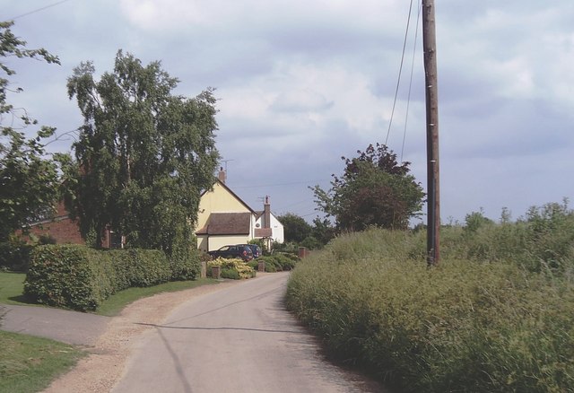
Broad Green is a small village located in the county of Essex, in the southeastern part of England. Situated approximately 3 miles northeast of the town of Harlow, it falls under the local government district of Epping Forest. The village is surrounded by picturesque countryside, offering its residents a tranquil and rural setting.
Broad Green is primarily a residential area, characterized by a mix of housing styles, including traditional cottages and modern homes. The village has a close-knit community, and residents benefit from a range of local amenities, such as a primary school, a village hall, and a pub. Additionally, the nearby town of Harlow provides further access to shopping, healthcare, and recreational facilities.
The village is well-connected to the wider region through road and rail links. The M11 motorway is easily accessible, connecting Broad Green to London and Cambridge. The village also has its own railway station, offering regular services to London Liverpool Street, making it a convenient location for commuters.
Nature enthusiasts will appreciate the surrounding countryside, which provides opportunities for outdoor activities such as walking, cycling, and horse riding. The nearby Epping Forest offers further recreational opportunities, including picnicking and wildlife watching.
Overall, Broad Green provides a peaceful and idyllic living environment, combining the benefits of a rural setting with convenient access to nearby amenities and transportation links.
If you have any feedback on the listing, please let us know in the comments section below.
Broad Green Images
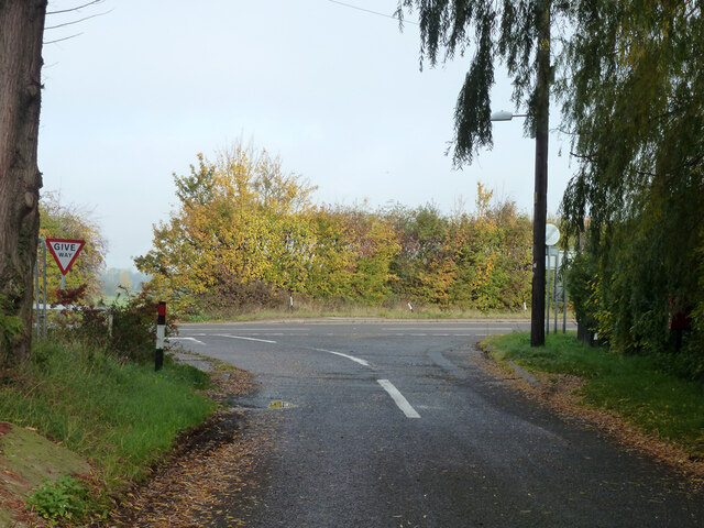
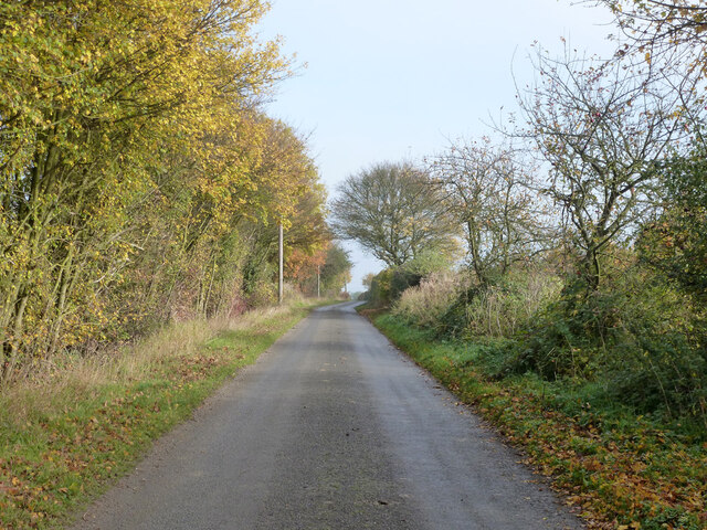
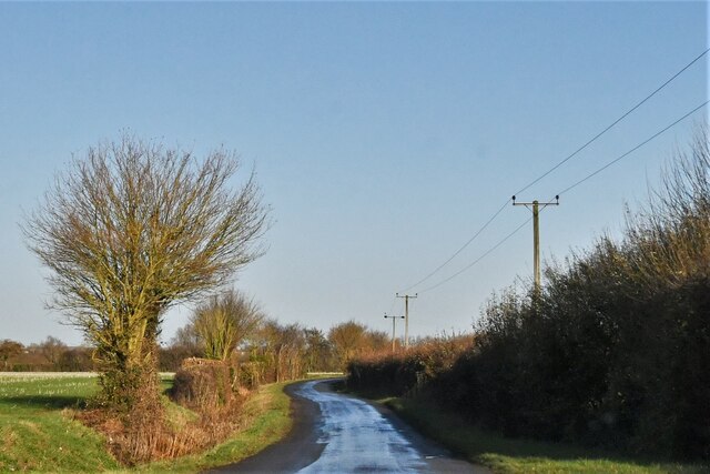
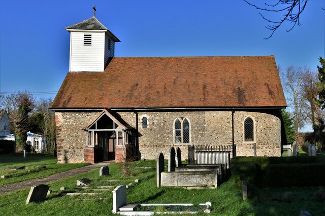
Images are sourced within 2km of 51.87449/0.724446 or Grid Reference TL8723. Thanks to Geograph Open Source API. All images are credited.


Broad Green is located at Grid Ref: TL8723 (Lat: 51.87449, Lng: 0.724446)
Administrative County: Essex
District: Colchester
Police Authority: Essex
What 3 Words
///relate.greet.dust. Near Coggeshall, Essex
Nearby Locations
Related Wikis

Surrex
Surrex is a hamlet in the civil parish of Coggeshall, and the Braintree district of Essex, England. The hamlet is at the junction of the A120 road and...

Skye Green
Skye Green is a hamlet at the north the civil parish of Feering, and in the Braintree district of Essex, England. The hamlet is situated between the village...
East Gores
East Gores is a hamlet in the Colchester district, in the English county of Essex. It is near the A120 road. == References == http://www.a-zmaps.co.uk/...

Little Tey
Little Tey is a village in the City of Colchester district of Essex, England, located approximately six miles west of Colchester. It is in the civil parish...
Nearby Amenities
Located within 500m of 51.87449,0.724446Have you been to Broad Green?
Leave your review of Broad Green below (or comments, questions and feedback).