Burrowbridge
Civil Parish in Somerset Somerset West and Taunton
England
Burrowbridge

Burrowbridge is a civil parish located in the county of Somerset, England. It is situated on the southern edge of the Somerset Levels, a low-lying area known for its flat landscape and marshes. The parish covers an area of approximately 8.65 square kilometers and has a population of around 400 residents.
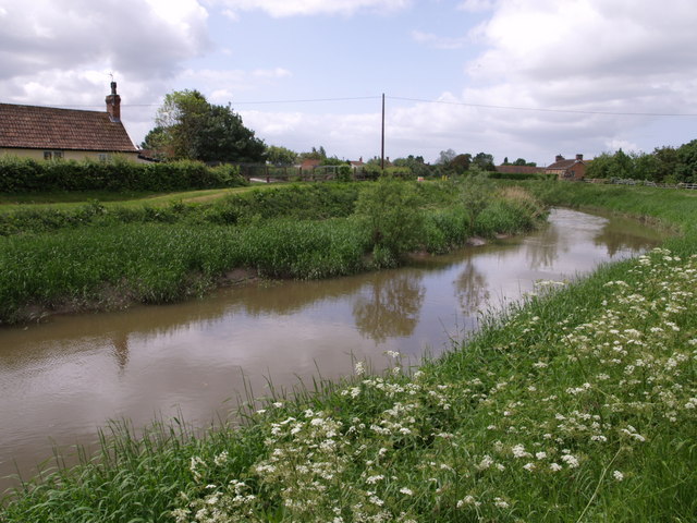
The village of Burrowbridge is the main settlement within the parish. It is located on the banks of the River Parrett, which flows through the area. The village is known for its picturesque views and charming countryside surroundings. It is predominantly a rural community, with a mix of residential properties and agricultural land.
Burrowbridge is famous for its historic bridge, which dates back to the 18th century. The bridge spans across the River Parrett and provides a vital transportation link for the local community. It is a popular spot for tourists and visitors who come to admire its architectural beauty and enjoy the tranquil riverside views.
The parish is also home to several nature reserves and wildlife habitats, including the renowned Somerset Wildlife Trust's Swell Wood. This ancient woodland is a Site of Special Scientific Interest (SSSI) and offers opportunities for bird watching, walking, and exploring the diverse flora and fauna.
In recent years, Burrowbridge has faced challenges due to its proximity to the Somerset Levels, which are prone to flooding. Efforts have been made to improve flood defenses and protect the village from future inundations.
Overall, Burrowbridge is a picturesque rural parish with a rich history, natural beauty, and a close-knit community.
If you have any feedback on the listing, please let us know in the comments section below.
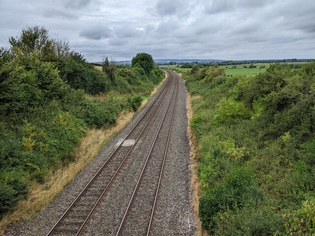
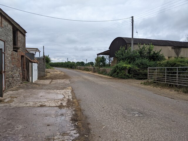
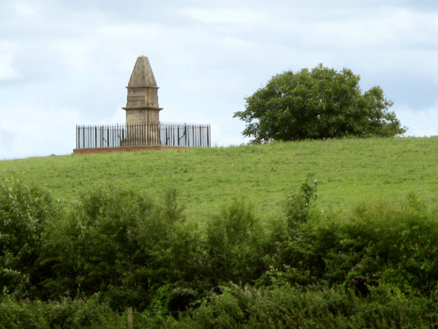
Burrowbridge Images
Images are sourced within 2km of 51.065491/-2.916414 or Grid Reference ST3529. Thanks to Geograph Open Source API. All images are credited.


Burrowbridge is located at Grid Ref: ST3529 (Lat: 51.065491, Lng: -2.916414)
Administrative County: Somerset
District: Somerset West and Taunton
Police Authority: Avon and Somerset
What 3 Words
///jolt.apricot.scare. Near Westonzoyland, Somerset
Nearby Locations
Related Wikis
River Tone
The River Tone is a river in the English county of Somerset. The river is about 33 kilometres (21 mi) long. Its source is at Beverton Pond near Huish Champflower...

Burrow Mump
Burrow Mump is a hill and historic site overlooking Southlake Moor in the village of Burrowbridge within the English county of Somerset. It is a scheduled...

Burrowbridge
Burrowbridge is a village and civil parish in Somerset, England, situated on the River Parrett and the A361 road on the edge of the Somerset Levels. It...

Southlake Moor
Southlake Moor (grid reference ST370300) is a 196.1 hectare (484.6 acre) biological Site of Special Scientific Interest near Burrow Mump and Burrowbridge...
Athelney Abbey
Athelney Abbey, established in the county of Somerset, England, was founded by King Alfred in 888, as a religious house for monks of the Order of St....

Athelney
Athelney is a village located between the villages of Burrowbridge and East Lyng in the Sedgemoor district of Somerset, England. The name is believed to...

Balt Moor Wall
Balt Moor Wall is an earthwork and listed scheduled ancient monument in Lyng, Somerset, England, situated on the Somerset Levels to the northwest of the...

Willows and Wetlands Visitor Centre
The Willows and Wetlands Visitor Centre is situated at Stoke St Gregory, on the Somerset Levels, north east of Taunton, England. Based on a working farm...
Nearby Amenities
Located within 500m of 51.065491,-2.916414Have you been to Burrowbridge?
Leave your review of Burrowbridge below (or comments, questions and feedback).