Burringham
Civil Parish in Lincolnshire
England
Burringham
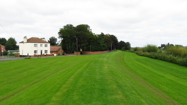
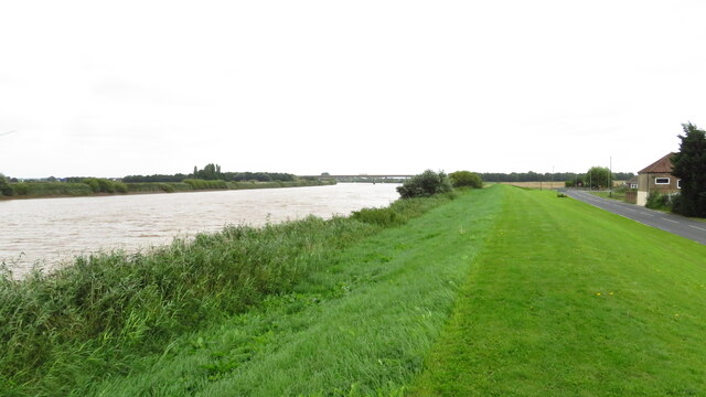
Burringham is a civil parish located in the North Lincolnshire unitary authority, in the county of Lincolnshire, England. Situated on the southern bank of the River Trent, it is approximately 5 miles east of Scunthorpe and 30 miles south of the city of Hull.
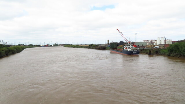
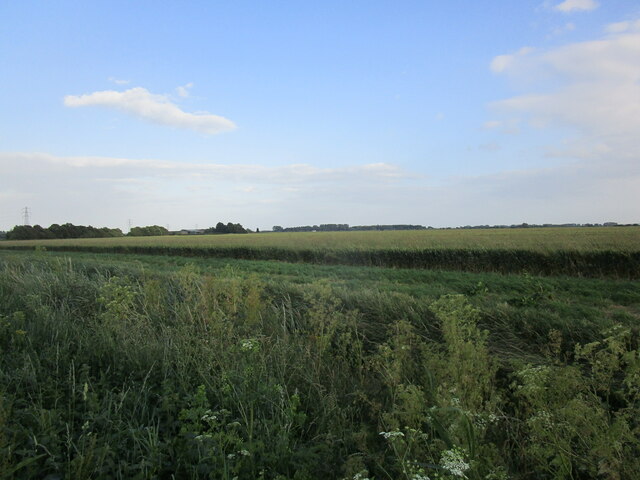
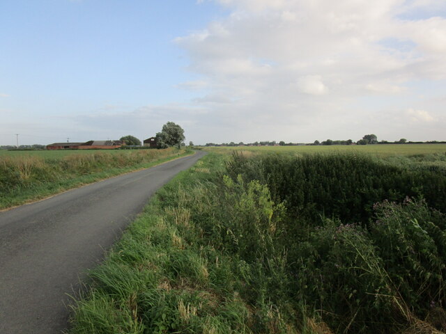
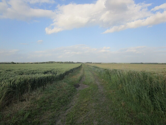
The area of Burringham spans approximately 1,250 acres and is predominantly rural in nature, characterized by agricultural land and open spaces. The parish is bounded by the River Trent to the north and east, which provides picturesque views and opportunities for leisure activities such as fishing and boating.
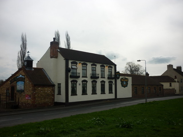
The village of Burringham itself is small, with a population of around 500 residents. It has a close-knit community and a peaceful, rural atmosphere. The village features a local pub, The Red Lion, which serves as a popular gathering place for locals and visitors alike.
Burringham is also home to St. John the Baptist Church, a Grade II listed building dating back to the 12th century. The church is notable for its architectural features, including a Norman font and a striking tower.
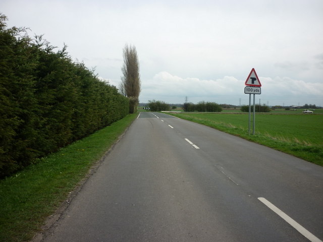
The parish enjoys good transport links, with the nearby M180 motorway providing easy access to larger towns and cities, including Scunthorpe and Doncaster. The village is served by regular bus services, connecting it to neighboring areas.
Overall, Burringham offers a tranquil and picturesque setting, making it an attractive place to live for those seeking a rural lifestyle within close proximity to urban amenities.
If you have any feedback on the listing, please let us know in the comments section below.
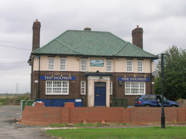
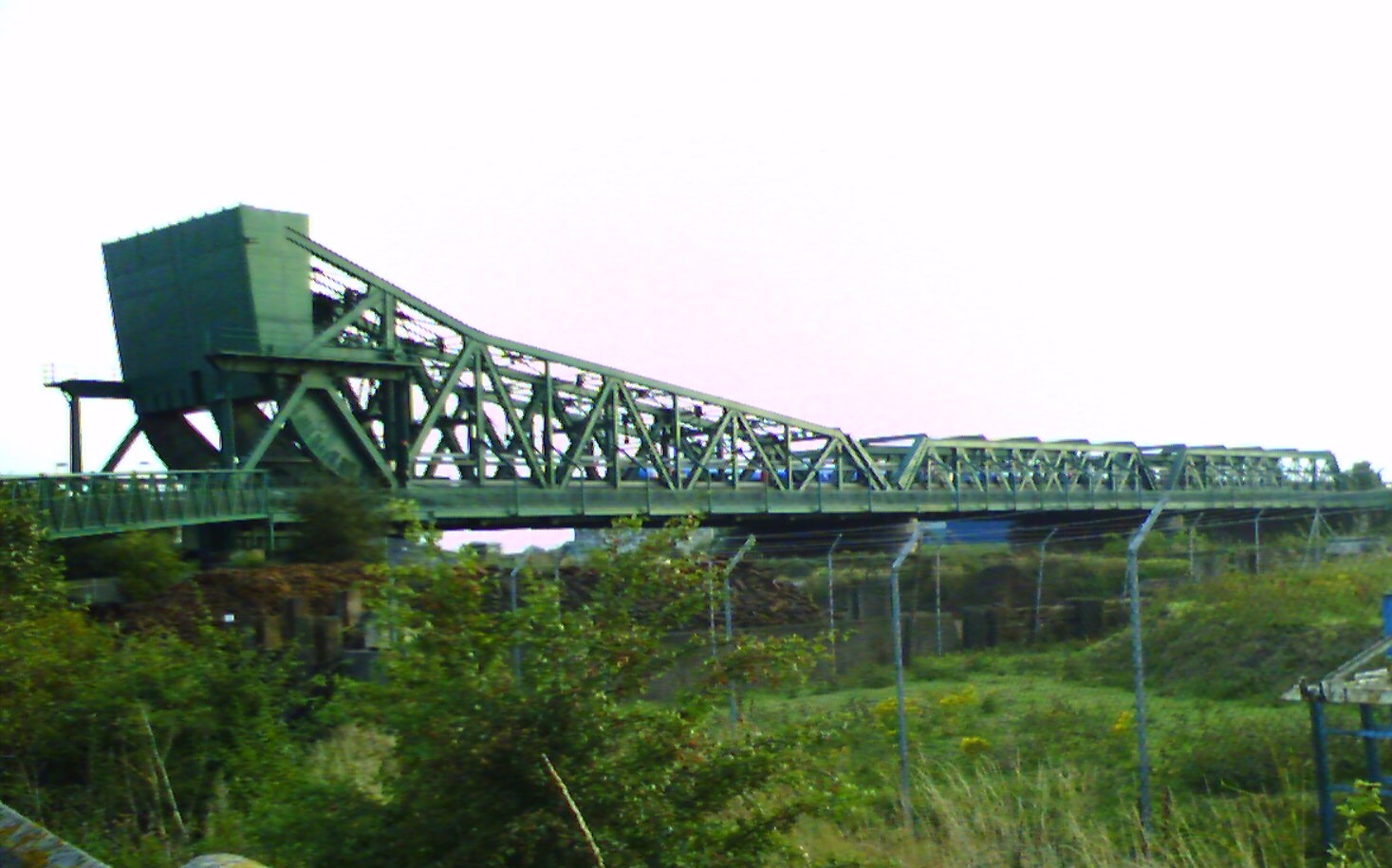
Burringham Images
Images are sourced within 2km of 53.569999/-0.723597 or Grid Reference SE8408. Thanks to Geograph Open Source API. All images are credited.


Burringham is located at Grid Ref: SE8408 (Lat: 53.569999, Lng: -0.723597)
Unitary Authority: North Lincolnshire
Police Authority: Humberside
What 3 Words
///investor.reinforce.dignify. Near Burringham, Lincolnshire
Nearby Locations
Related Wikis

Burringham
Burringham is a village and civil parish in North Lincolnshire, England. The population of the civil parish at the 2011 census was 737. The village is...

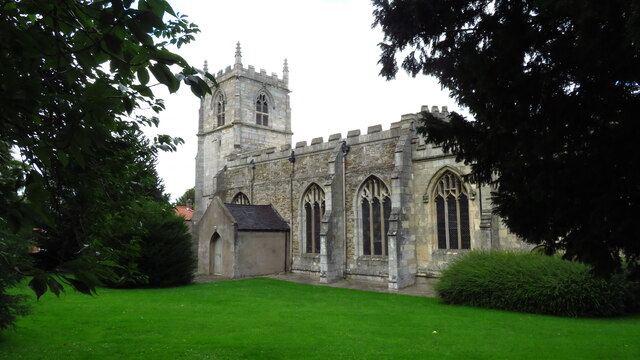
St John the Baptist's Church, Burringham
St John the Baptist's Church is a redundant Anglican church in the village of Burringham, Lincolnshire, England. It is recorded in the National Heritage...
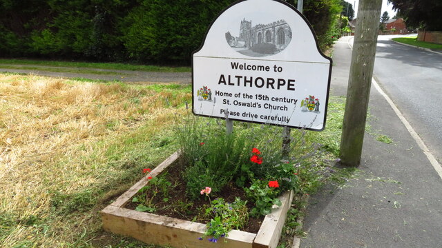
Althorpe
Althorpe is a small village and former civil parish, now in the parish of Keadby with Althorpe, in the North Lincolnshire district, in the ceremonial county...

Gunness and Burringham railway station
Gunness railway station, later suffixed "and Burringham", is a former railway station in Gunness, Lincolnshire. Today trains call at the nearby Althorpe...
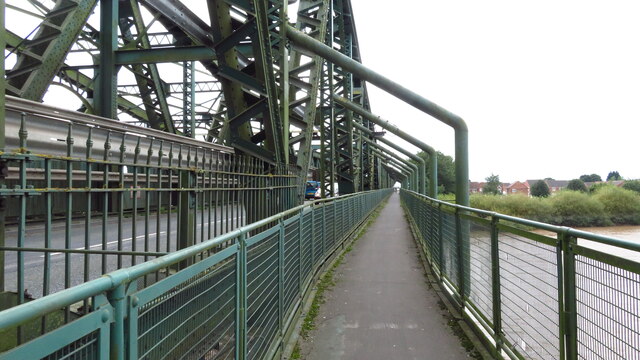
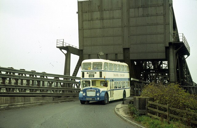
Keadby Bridge
Keadby Bridge, more formally known as the King George V Bridge, crosses the River Trent near Althorpe and Keadby in Lincolnshire, England. It was designed...
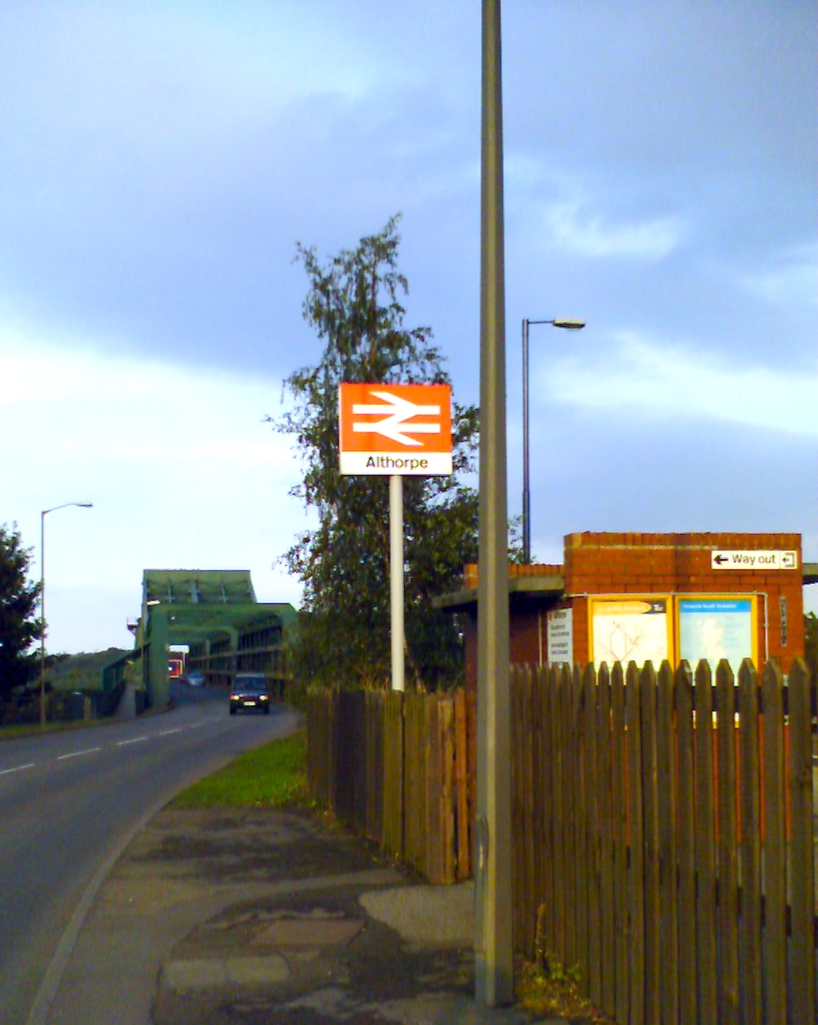
Althorpe railway station
Althorpe railway station serves the village of Althorpe in North Lincolnshire, England. The station is also very close to the villages of Keadby, Gunness...
Ashby Parkland
Ashby Parkland is a civil parish in North Lincolnshire, England. The parish was created on 1 April 2004 and was previously part of the Burringham parish...
Gunhouse Wharf railway station
Gunhouse Wharf railway station was a goods station in Gunness, Lincolnshire. It was built by the Trent, Ancholme and Grimsby Railway to serve a small wharf...
Nearby Amenities
Located within 500m of 53.569999,-0.723597Have you been to Burringham?
Leave your review of Burringham below (or comments, questions and feedback).