Burgh
Civil Parish in Suffolk East Suffolk
England
Burgh

Burgh is a civil parish located in the county of Suffolk, England. It is situated in the Waveney district, approximately 5 miles southwest of the town of Beccles. The parish covers an area of around 5 square miles and is home to a small population of residents.
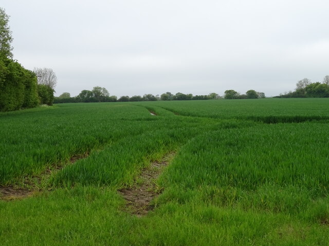
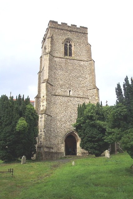
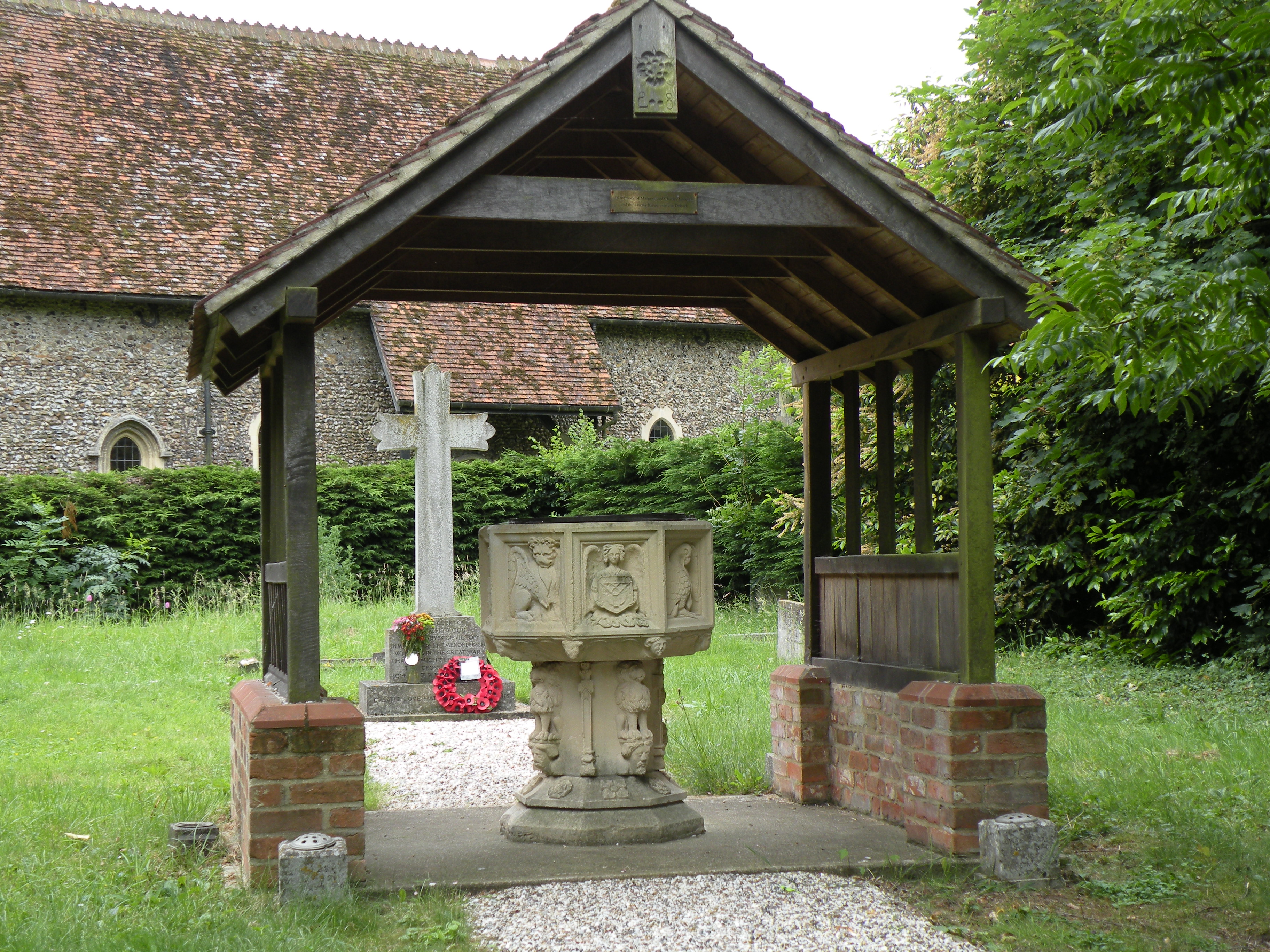
Burgh is a rural area characterized by its picturesque landscapes, including open fields, meadows, and woodlands. The River Waveney flows through the parish, providing an attractive natural feature. The village itself is small, with a scattering of houses and buildings, including the parish church, St. Botolph's Church, which dates back to the 14th century.
Agriculture has historically been a significant part of Burgh's economy, with farming and livestock rearing being common activities. However, in recent years, there has been a diversification of the local economy, with some residents commuting to nearby towns for employment opportunities.
Despite its small size, Burgh offers a range of amenities and services for its residents. These include a primary school, a village hall, and a local pub, which serves as a social hub for the community. The parish is also well-served by public transport, with regular bus services connecting it to nearby towns and villages.
Burgh benefits from its proximity to various attractions and amenities in the surrounding area. The nearby market town of Beccles offers a wider range of shops, supermarkets, and leisure facilities, while the Norfolk Broads National Park is just a short distance away, providing opportunities for boating, fishing, and wildlife watching.
Overall, Burgh is a charming rural parish, offering a peaceful and idyllic lifestyle for its residents, while also providing easy access to nearby amenities and attractions.
If you have any feedback on the listing, please let us know in the comments section below.
Burgh Images
Images are sourced within 2km of 52.124668/1.265688 or Grid Reference TM2352. Thanks to Geograph Open Source API. All images are credited.


Burgh is located at Grid Ref: TM2352 (Lat: 52.124668, Lng: 1.265688)
Administrative County: Suffolk
District: East Suffolk
Police Authority: Suffolk
What 3 Words
///remarked.expectant.tumblers. Near Grundisburgh, Suffolk
Nearby Locations
Related Wikis

Burgh, Suffolk
Burgh () is a village and civil parish in the East Suffolk district of Suffolk, England, about 3.5 miles (6 km) north-west of Woodbridge. St Botolph's...
Burgh Windmill
Burgh Mill is a Grade II listed tower mill at Burgh, Suffolk, England which has been converted to residential accommodation. == History == Burgh Mill was...
Clopton, Suffolk
Clopton is a village and civil parish in Suffolk. It is located between Ipswich and Debenham two kilometres north of Grundisburgh on the River Lark. The...
Debach
Debach is a small village about four miles northwest of Woodbridge, Suffolk, UK. == History == At the time of the Domesday Book, 1086, it was called Debenbeis...
Nearby Amenities
Located within 500m of 52.124668,1.265688Have you been to Burgh?
Leave your review of Burgh below (or comments, questions and feedback).