Buntingford

Civil Parish in Hertfordshire East Hertfordshire

England

Buntingford

Layston Church Near Buntingford, Layston Village was abandoned a long time ago.
Layston Church Credit: mym

Buntingford is a civil parish located in the county of Hertfordshire, England. Situated approximately 35 miles north of London, it lies in the East Hertfordshire district. The town of Buntingford is the main settlement within the parish.

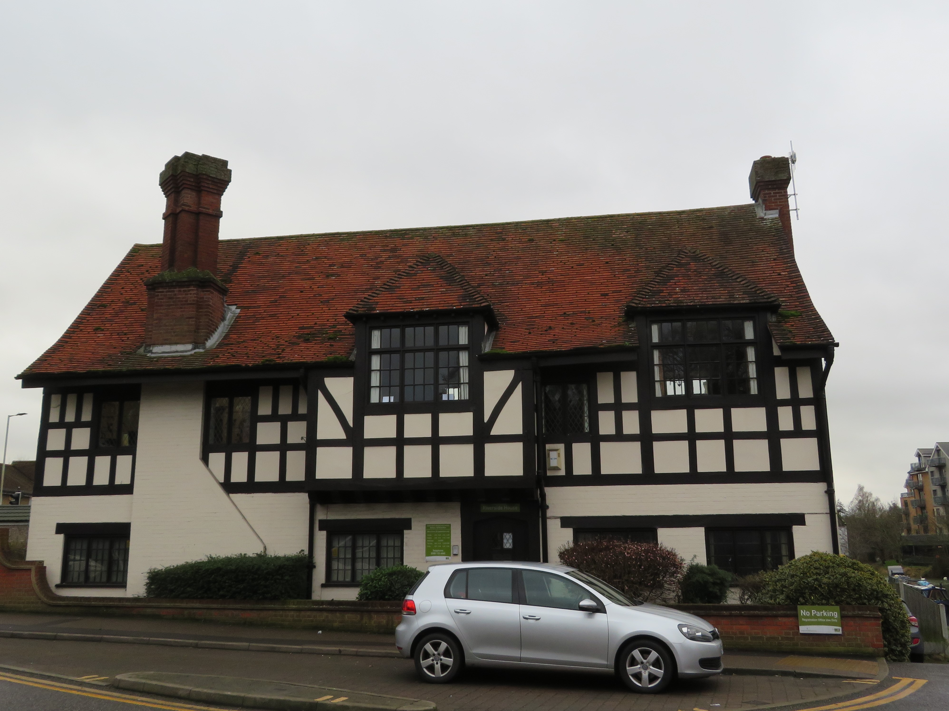
With a population of around 5,000 residents, Buntingford is a small but thriving community. It is known for its picturesque countryside, charming architecture, and historic landmarks. The town dates back to medieval times and still retains much of its traditional character.

Buntingford offers a range of amenities and facilities to its residents and visitors. The town center features a variety of shops, restaurants, and pubs, providing a vibrant and bustling atmosphere. It also boasts a weekly market, offering local produce and goods.

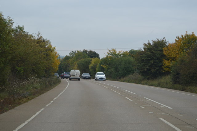
The parish is well-connected by road, with the A10 passing through the town, providing easy access to nearby cities and towns. The railway station in nearby Royston offers regular train services to London and other major destinations.

Buntingford is surrounded by beautiful countryside, making it an ideal location for outdoor enthusiasts. There are several parks and green spaces within the parish, providing opportunities for leisure activities and relaxation. The town also has a strong sense of community, with various clubs, societies, and events that bring residents together.

Overall, Buntingford is a charming and vibrant civil parish, offering a peaceful rural setting with convenient access to nearby urban areas. Its rich history, natural beauty, and strong community spirit make it an appealing place to live or visit.

If you have any feedback on the listing, please let us know in the comments section below.
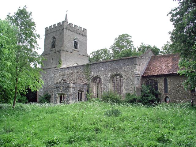
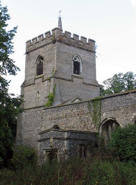
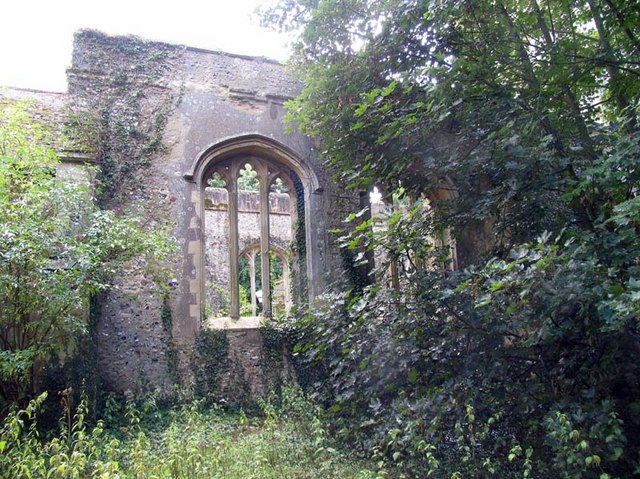
Buntingford Images

Images are sourced within 2km of 51.945774/-0.006421 or Grid Reference TL3729. Thanks to Geograph Open Source API. All images are credited.

Layston Church Near Buntingford, Layston Village was abandoned a long time ago.
Layston Church
Near Buntingford, Layston Village was abandoned a long time ago.
St Bartholomew, Layston, Herts - Ruin
St Bartholomew, Layston, Herts - Ruin Holy water stoup
St Bartholomew, Layston, Herts - Ruin
Holy water stoup
St Bartholomew, Layston, Herts - Ruin
Pylons and bridleway, Brown's Corner, Wyddial
View to Beauchamps Plantation and Moles Farm
A view of Corney Bury Farm from Ermine Street
Buntingford from the air Looking east, with the A10 skirting round the west side of the village. A rather poor view in overcast evening light.
Buntingford from the air
Looking east, with the A10 skirting round the west side of the village. A rather poor view in overcast evening light.
Footbridge over the A10 The A10 runs 161 miles from London to King's Lynn. via Cambridge and Ely. 
<span class="nowrap"><a title="http://www.sabre-roads.org.uk/wiki/index.php?title=A10" rel="nofollow ugc noopener" href="http://www.sabre-roads.org.uk/wiki/index.php?title=A10">Link</a><img style="margin-left:2px;" alt="External link" title="External link - shift click to open in new window" src="https://s1.geograph.org.uk/img/external.png" width="10" height="10"/></span>
Footbridge over the A10
The A10 runs 161 miles from London to King's Lynn. via Cambridge and Ely. LinkExternal link
Road sign, A10, Buntingford Bypass The A10 runs 161 miles from London to King's Lynn. via Cambridge and Ely. 
<span class="nowrap"><a title="http://www.sabre-roads.org.uk/wiki/index.php?title=A10" rel="nofollow ugc noopener" href="http://www.sabre-roads.org.uk/wiki/index.php?title=A10">Link</a><img style="margin-left:2px;" alt="External link" title="External link - shift click to open in new window" src="https://s1.geograph.org.uk/img/external.png" width="10" height="10"/></span>
Road sign, A10, Buntingford Bypass
The A10 runs 161 miles from London to King's Lynn. via Cambridge and Ely. LinkExternal link
A10, Buntingford bypass The A10 runs 161 miles from London to King's Lynn. via Cambridge and Ely. 
<span class="nowrap"><a title="http://www.sabre-roads.org.uk/wiki/index.php?title=A10" rel="nofollow ugc noopener" href="http://www.sabre-roads.org.uk/wiki/index.php?title=A10">Link</a><img style="margin-left:2px;" alt="External link" title="External link - shift click to open in new window" src="https://s1.geograph.org.uk/img/external.png" width="10" height="10"/></span>
A10, Buntingford bypass
The A10 runs 161 miles from London to King's Lynn. via Cambridge and Ely. LinkExternal link
Show me another place!

Buntingford is located at Grid Ref: TL3729 (Lat: 51.945774, Lng: -0.006421)

Administrative County: Hertfordshire

District: East Hertfordshire

Police Authority: Hertfordshire

What 3 Words

///washing.sprouting.mimics. Near Buntingford, Hertfordshire

Nearby Locations

Buntingford

Related Wikis

Wyddial

Wyddial is a village and civil parish in the East Hertfordshire district of Hertfordshire, England. It is located around a mile and a half north-east of...

Buntingford

Buntingford is a market town and civil parish in the district of East Hertfordshire and county of Hertfordshire in England. It lies next to the River Rib...

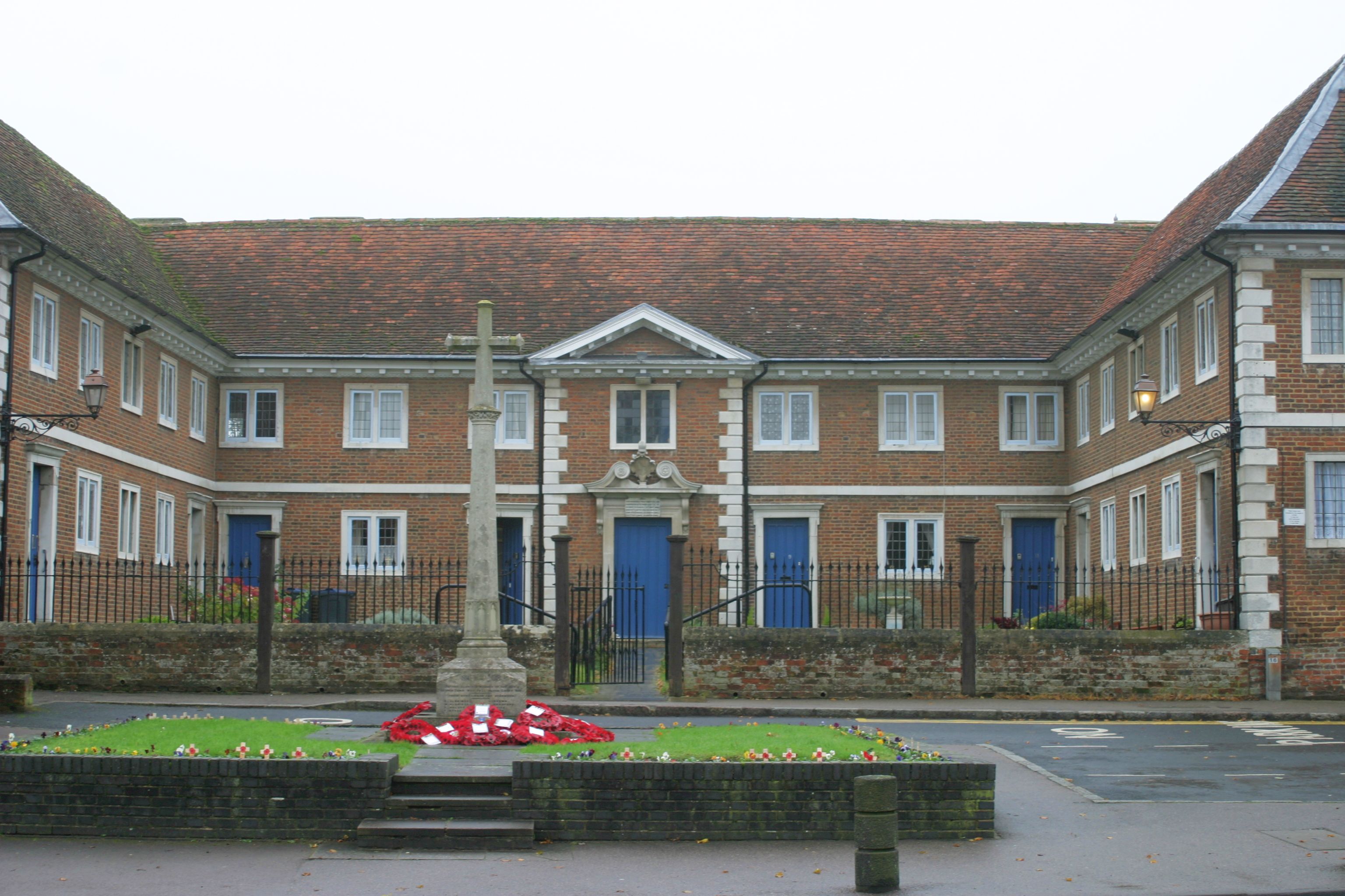
Buntingford almshouses

Buntingford Almshouses is a grade II* listed building on the High street of the Hertfordshire town of Buntingford. The building was erected in 1684 by...

Braughing Rural District

Braughing was a rural district in Hertfordshire, England from 1935 to 1974. == Creation == Braughing Rural District was created on 1 April 1935 under a...

Nearby Amenities

Located within 500m of 51.945774,-0.006421
Waste Basket
Waste: dog_excrement
Lat/Long: 51.9416607/-0.0091702
Crossing
Lat/Long: 51.946772/-0.0122891
Direction: 125
Information: board
Tourism: information
Lat/Long: 51.9458147/-0.011413
Crossing
Crossing: unmarked
Crossing Island: no
Crossing Markings: no
Tactile Paving: yes
Lat/Long: 51.9464245/-0.0114265
Crossing
Crossing: unmarked
Crossing Island: no
Crossing Markings: no
Tactile Paving: yes
Lat/Long: 51.9465817/-0.011329
Crossing
Lat/Long: 51.9470978/-0.012896
Crossing
Crossing: unmarked
Crossing Island: no
Crossing Markings: no
Tactile Paving: yes
Lat/Long: 51.9467528/-0.011639
Crossing
Crossing: unmarked
Crossing Island: no
Tactile Paving: yes
Lat/Long: 51.9480339/-0.0113615
Meadow Vale
Place: neighbourhood
Lat/Long: 51.9437994/-0.011912
Parking
Parking: street_side
Lat/Long: 51.9434136/-0.0105735
Parking
Parking: street_side
Lat/Long: 51.9433151/-0.0102792
Barrier: bollard
Lat/Long: 51.9447364/-0.0106201
Barrier: bollard
Lat/Long: 51.9446492/-0.0106108
Barrier: bollard
Lat/Long: 51.9446649/-0.0107405
Barrier: bollard
Lat/Long: 51.9447158/-0.0104792
Barrier: bollard
Lat/Long: 51.9445626/-0.0107157
Crossing
Crossing: unmarked
Crossing Island: no
Crossing Markings: no
Tactile Paving: yes
Lat/Long: 51.9436042/-0.0124797
Crossing
Crossing: unmarked
Crossing Island: no
Crossing Markings: no
Tactile Paving: yes
Lat/Long: 51.9435163/-0.0125659
Crossing
Crossing: unmarked
Crossing Island: no
Crossing Markings: no
Tactile Paving: yes
Lat/Long: 51.943206/-0.0116072
The data included in this document is from www.openstreetmap.org. The data is made available under ODbL.

Have you been to Buntingford?

Leave your review of Buntingford below (or comments, questions and feedback).