Broughton West

Civil Parish in Lancashire South Lakeland

England

Broughton West

Remains of wooden ballast bin Only a few rotten pieces of wood remain from this ballast bin beside the former Furness Railway Coniston Branch near Moss Side.  Built from old wooden railway sleepers it is difficult to place an age on this ballast bin, but it is possible it pre-dates the formation of the London Midland and Scottish Railway in 1923 who later introduced concrete bins (see photograph <a href="https://www.geograph.org.uk/photo/6797992">NY2924 : LMS Standard Concrete Ballast Bin</a>).
Positioned approximately every mile, more frequently on curved track, ballast bins were used to store small stone chippings which were used by the railway Lengthsmen to pack and adjust the railway sleepers. Using only a jack and a shovel, an experienced Lengthsman could judge exactly the right quantity of chippings to use to obtain a perfect ‘top’ to the rail and they often took great pride in the quality of their work.
The Coniston Branch closed to passengers in October 1958 and to all traffic with effect from the 30 April 1962 although the last train had run during the preceding week.  The track bed in front of the ballast bin is deep in mud and trampled by cows.
Remains of wooden ballast bin Credit: Adrian Taylor

Broughton West is a civil parish located in the county of Lancashire, England. It is situated in the Wyre district and is part of the larger Broughton area. Broughton West covers an area of approximately 5 square kilometers and has a population of around 1,000 people.

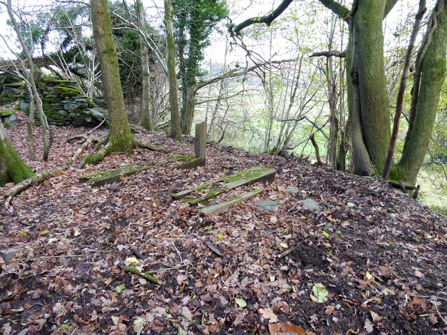
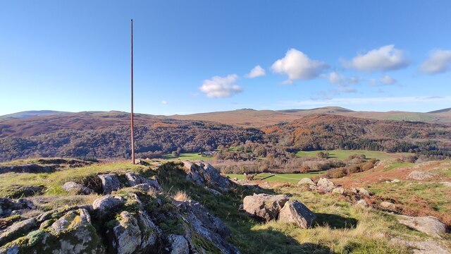
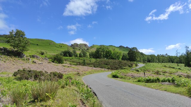
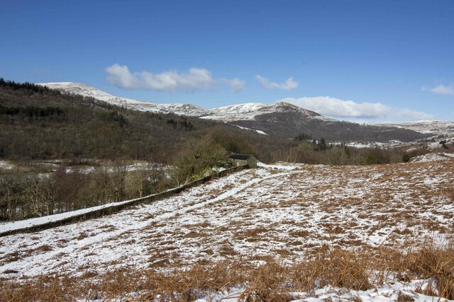
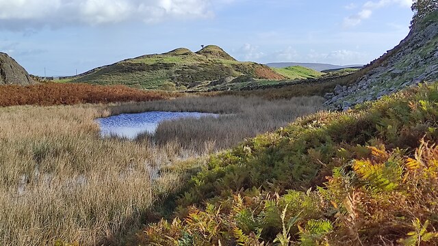
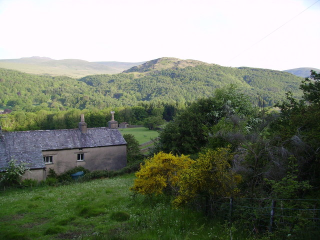
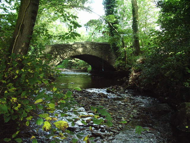
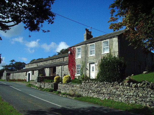
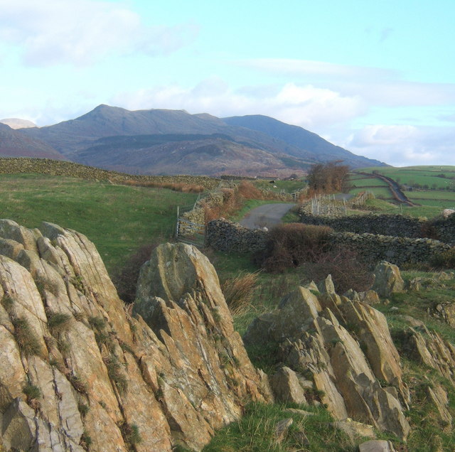
The parish is known for its picturesque countryside and rural charm. It is surrounded by rolling hills, farmland, and small wooded areas, making it an ideal location for those seeking a peaceful and tranquil setting. The landscape is dotted with traditional stone-built houses and cottages, adding to the area's rural character.

Broughton West is home to several notable landmarks and attractions. One of the main attractions is St. John the Baptist Church, a historic place of worship that dates back to the 16th century. The church features a beautiful bell tower and stunning stained glass windows.

The parish also offers a range of amenities and services to its residents. These include a primary school, a village hall, and a local pub. The village hall is a hub for community activities and events, while the pub provides a gathering place for locals and visitors alike.

Overall, Broughton West offers a peaceful and idyllic lifestyle, with its beautiful countryside, historic landmarks, and strong sense of community. It is a place where residents can enjoy the tranquility of rural living while still having access to essential amenities and services.

If you have any feedback on the listing, please let us know in the comments section below.

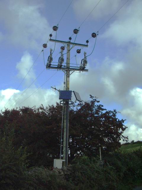
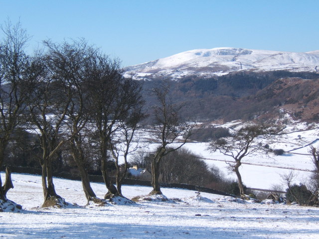
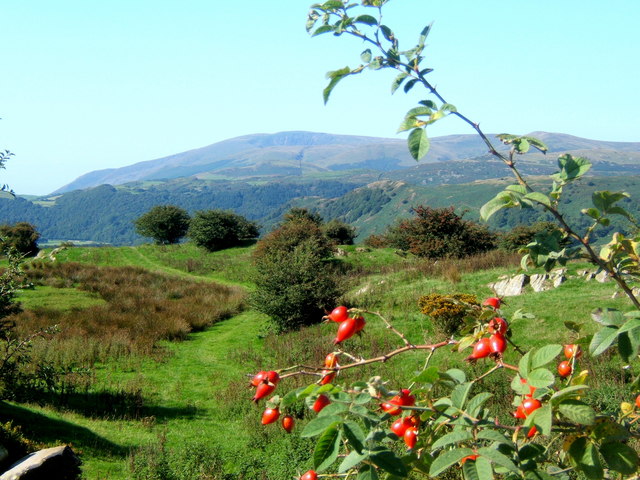
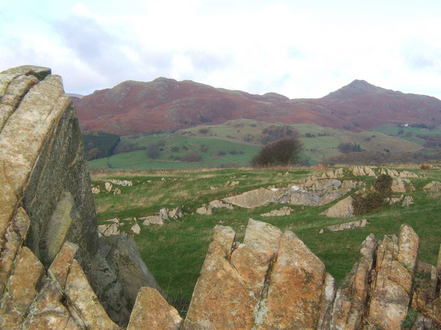
Broughton West Images

Images are sourced within 2km of 54.303537/-3.208849 or Grid Reference SD2190. Thanks to Geograph Open Source API. All images are credited.

Remains of wooden ballast bin Only a few rotten pieces of wood remain from this ballast bin beside the former Furness Railway Coniston Branch near Moss Side.  Built from old wooden railway sleepers it is difficult to place an age on this ballast bin, but it is possible it pre-dates the formation of the London Midland and Scottish Railway in 1923 who later introduced concrete bins (see photograph <a href="https://www.geograph.org.uk/photo/6797992">NY2924 : LMS Standard Concrete Ballast Bin</a>).
Positioned approximately every mile, more frequently on curved track, ballast bins were used to store small stone chippings which were used by the railway Lengthsmen to pack and adjust the railway sleepers. Using only a jack and a shovel, an experienced Lengthsman could judge exactly the right quantity of chippings to use to obtain a perfect ‘top’ to the rail and they often took great pride in the quality of their work.
The Coniston Branch closed to passengers in October 1958 and to all traffic with effect from the 30 April 1962 although the last train had run during the preceding week.  The track bed in front of the ballast bin is deep in mud and trampled by cows.
Remains of wooden ballast bin
Only a few rotten pieces of wood remain from this ballast bin beside the former Furness Railway Coniston Branch near Moss Side. Built from old wooden railway sleepers it is difficult to place an age on this ballast bin, but it is possible it pre-dates the formation of the London Midland and Scottish Railway in 1923 who later introduced concrete bins (see photograph NY2924 : LMS Standard Concrete Ballast Bin). Positioned approximately every mile, more frequently on curved track, ballast bins were used to store small stone chippings which were used by the railway Lengthsmen to pack and adjust the railway sleepers. Using only a jack and a shovel, an experienced Lengthsman could judge exactly the right quantity of chippings to use to obtain a perfect ‘top’ to the rail and they often took great pride in the quality of their work. The Coniston Branch closed to passengers in October 1958 and to all traffic with effect from the 30 April 1962 although the last train had run during the preceding week. The track bed in front of the ballast bin is deep in mud and trampled by cows.
Remains of Weather Cock on Rawfold Bank, with Duddon Hall in view A "Weather Cock" is marked at this position on OS maps: 6 inch, published 1850 and 25 inch, published 1913. This iron pole is currently situated at the location. Duddon Hall can be seen in the centre of the picture.
Remains of Weather Cock on Rawfold Bank, with Duddon Hall in view
A "Weather Cock" is marked at this position on OS maps: 6 inch, published 1850 and 25 inch, published 1913. This iron pole is currently situated at the location. Duddon Hall can be seen in the centre of the picture.
Dunnerdale Fells above Stonestar There is an old postcard of this scene called "Dunnerdale Fells". This is a recent picture of the same from the same location. Peaks include Cat's Crag and Raven's Crag, and what rock-climbers call Stonestar Crag.
This picture is a reverse view of <a href="https://www.geograph.org.uk/photo/7300826">SD1992 : Duddon Valley south of Ulpha</a>.
Dunnerdale Fells above Stonestar
There is an old postcard of this scene called "Dunnerdale Fells". This is a recent picture of the same from the same location. Peaks include Cat's Crag and Raven's Crag, and what rock-climbers call Stonestar Crag. This picture is a reverse view of SD1992 : Duddon Valley south of Ulpha.
Vernacular farm buildings at Rawfold farm
Vernacular farm building
On Dunnerdale Fells near Gowther Barrow I can't work out what these mounds are called. They might be part of Potherilt Hill or Gowther Barrow. They don't seem to be so distinctive when viewed from other angles.
On Dunnerdale Fells near Gowther Barrow
I can't work out what these mounds are called. They might be part of Potherilt Hill or Gowther Barrow. They don't seem to be so distinctive when viewed from other angles.
Rawfold Farm in the Duddon Valley or Dunnerdale.
Rawfold
Farm in the Duddon Valley or Dunnerdale.
Road bridge Road bridge over the River Lickle near Hartley Ground
Road bridge
Road bridge over the River Lickle near Hartley Ground
High Aulthwaite Side
Is this the way forward Is this trying to tell us something about the price of electricity? Somebody makes the effort to install solar panels to power their equipment which is attached to a power line. I wonder if they sell the surplus (if any) to the National Grid
Is this the way forward
Is this trying to tell us something about the price of electricity? Somebody makes the effort to install solar panels to power their equipment which is attached to a power line. I wonder if they sell the surplus (if any) to the National Grid
Wintry view of the lower Lickle Valley
View from a lane above Hawthwaite Black Combe in the distance.
View from a lane above Hawthwaite
Black Combe in the distance.
Rocky outcrop on ridge near Broughton Mills Looking to the Dunnerdale Fells, with Stickle Pike to the right.
Rocky outcrop on ridge near Broughton Mills
Looking to the Dunnerdale Fells, with Stickle Pike to the right.
Rocky outcrop, looking along the ridge lane Coniston Fells in the distance.
Rocky outcrop, looking along the ridge lane
Coniston Fells in the distance.
Lane to Broughton Mills in wintry conditions Stickle Pike right background.
Lane to Broughton Mills in wintry conditions
Stickle Pike right background.
View across the Lickle valley from the A593 The nearer farm is Hagg, with Middle Bleansley across the valley.
View across the Lickle valley from the A593
The nearer farm is Hagg, with Middle Bleansley across the valley.
Lane above Hawthwaite This lane provides an alternative route between Broughton and Torver, running mostly near the crest of a rising ridge of high ground.
Lane above Hawthwaite
This lane provides an alternative route between Broughton and Torver, running mostly near the crest of a rising ridge of high ground.
Rapid under Rawfold bridge Rawfold bridge marks one of the hardest individual rapids on the Lower Duddon where the river splits either side of a rock, then recombines in a drop into a deep pool under the bridge with a fairly narrow outlet. Taking the river right line, as Jim Pullen has here, is usually more difficult as the water tries to push one into a river left eddy under the bridge from which escape is problematical. Jim had paddled his own boat down the easier left line, but to save a portage, took this boat for someone else and chose the other line for this second run. This view was taken at about the lowest level you'd want to run the river (the forecast had lied to us...)
Rapid under Rawfold bridge
Rawfold bridge marks one of the hardest individual rapids on the Lower Duddon where the river splits either side of a rock, then recombines in a drop into a deep pool under the bridge with a fairly narrow outlet. Taking the river right line, as Jim Pullen has here, is usually more difficult as the water tries to push one into a river left eddy under the bridge from which escape is problematical. Jim had paddled his own boat down the easier left line, but to save a portage, took this boat for someone else and chose the other line for this second run. This view was taken at about the lowest level you'd want to run the river (the forecast had lied to us...)
Show me another place!

Broughton West is located at Grid Ref: SD2190 (Lat: 54.303537, Lng: -3.208849)

Administrative County: Cumbria

District: South Lakeland

Police Authority: Cumbria

What 3 Words

///encounter.replaces.warthog. Near Millom, Cumbria

Related Wikis

Broughton Mills

Broughton Mills is a village in Cumbria, England, located 3.5 kilometres from the larger town of Broughton-in-furness. The village consists of about 40...

Blacksmiths Arms, Broughton Mills

The Blacksmiths Arms is a Grade II listed public house at Broughton Mills, Cumbria, England.It is on the Campaign for Real Ale's National Inventory of...

Great Stickle

Great Stickle is a fell located in the southern Lake District of England with an altitude of 305 m (1,001 ft). Alfred Wainwright included it in the Stickle...

Broughton West

Broughton West is a civil parish in the Westmorland and Furness district of Cumbria, England. In the 2001 census the parish had a population of 954, decreasing...

Dunnerdale Fells

Dunnerdale Fells is an upland area in the English Lake District, between Ulpha and Broughton Mills, Cumbria. It is the subject of a chapter of Wainwright...

Duddon Valley

The Duddon Valley is a valley in the southern Lake District National Park in Cumbria, England. The River Duddon flows through the valley, rising in the...

Bank End

Bank End is a village in Cumbria, England. == External links == Media related to Bank End, South Lakeland at Wikimedia Commons

Rosthwaite, Broughton West

Rosthwaite is a settlement in the Broughton West civil parish of Westmorland and Furness, Cumbria England. It is part of the Lake District, 3 miles (4...

Nearby Amenities

Located within 500m of 54.303537,-3.208849
Source: OS_OpenData_StreetView
Lat/Long: 54.3066001/-3.2038071
Barrier: stile
Lat/Long: 54.3023172/-3.207971
Barrier: stile
Lat/Long: 54.301622/-3.202595
Barrier: stile
Lat/Long: 54.301042/-3.203404
Barrier: stile
Lat/Long: 54.2994567/-3.2059192
Barrier: stile
Lat/Long: 54.3040964/-3.2040709
Pickthall Ground
Place: hamlet
Lat/Long: 54.3041325/-3.2162181
Hawes
Place: locality
Lat/Long: 54.3055744/-3.21036
Ford: yes
Lat/Long: 54.3065637/-3.2066657
Barrier: stile
Lat/Long: 54.3048868/-3.214138
Barrier: stile
Lat/Long: 54.3048868/-3.214138
Power: pole
Lat/Long: 54.3044451/-3.2023625
Power: pole
Lat/Long: 54.3041866/-3.2034401
Power: pole
Lat/Long: 54.3038877/-3.204711
Power: pole
Lat/Long: 54.3034939/-3.2064522
Power: pole
Lat/Long: 54.303071/-3.2082756
Power: pole
Lat/Long: 54.302681/-3.2099379
Power: pole
Lat/Long: 54.3032956/-3.2018164
Power: pole
Lat/Long: 54.3027627/-3.2026282
Power: pole
Lat/Long: 54.3017542/-3.2021128
Power: pole
Lat/Long: 54.305087/-3.2030293
Power: pole
Lat/Long: 54.305931/-3.2026186
Power: pole
Lat/Long: 54.301976/-3.2101747
Power: pole
Lat/Long: 54.3011151/-3.2104485
Power: pole
Lat/Long: 54.3002344/-3.2107642
Power: pole
Lat/Long: 54.2994213/-3.21103
Power: pole
Lat/Long: 54.3042346/-3.2157157
Power: pole
Lat/Long: 54.3042421/-3.2146139
Power: pole
Lat/Long: 54.3042487/-3.213269
Power: pole
Lat/Long: 54.304275/-3.2109801
Power: pole
Lat/Long: 54.3040795/-3.2103341
Power: pole
Lat/Long: 54.3037252/-3.2092179
The data included in this document is from www.openstreetmap.org. The data is made available under ODbL.

Have you been to Broughton West?

Leave your review of Broughton West below (or comments, questions and feedback).