Brougham
Civil Parish in Westmorland Eden
England
Brougham
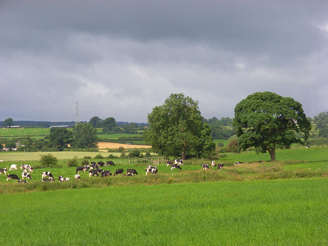
Brougham is a civil parish located in the county of Cumbria, England. Situated in the district of Eden, it lies on the eastern bank of the River Eamont, approximately 2.5 miles south-east of the town of Penrith. The parish covers an area of around 7 square miles and is home to a small population of approximately 300 residents.
The area is known for its historical significance, particularly due to Brougham Castle, which is located within the parish. Brougham Castle, originally built in the 13th century, is a well-preserved medieval fortress and a popular tourist attraction. The castle played a significant role in the border conflicts between England and Scotland and offers visitors a glimpse into the region's turbulent past.
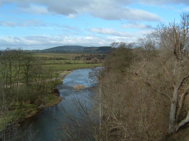
In addition to its historical sites, Brougham is known for its picturesque scenery and natural beauty. The surrounding countryside offers plenty of opportunities for outdoor activities such as hiking, cycling, and fishing. The River Eamont, which flows through the parish, is a popular spot for fishing enthusiasts.
Despite its relatively small size, Brougham is well-connected to neighboring towns and cities. The nearby town of Penrith provides amenities such as shops, schools, and healthcare facilities. The M6 motorway is also easily accessible, offering convenient transportation links to major cities such as Manchester and Glasgow.
Overall, Brougham is a charming civil parish with a rich history and stunning natural landscapes, making it an attractive destination for both residents and visitors alike.
If you have any feedback on the listing, please let us know in the comments section below.
Brougham Images
Images are sourced within 2km of 54.645263/-2.664678 or Grid Reference NY5727. Thanks to Geograph Open Source API. All images are credited.


Brougham is located at Grid Ref: NY5727 (Lat: 54.645263, Lng: -2.664678)
Administrative County: Cumbria
District: Eden
Police Authority: Cumbria
What 3 Words
///passively.soon.culling. Near Penrith, Cumbria
Nearby Locations
Related Wikis
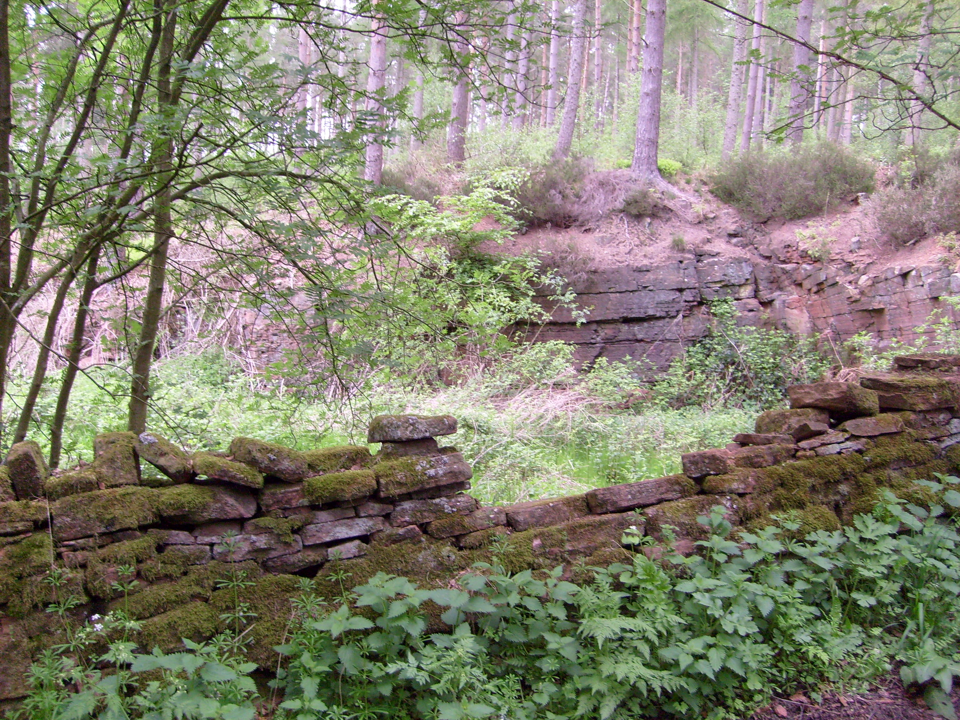
Whinfell Forest
Whinfell Forest is a small area of woodland in the parish of Brougham, Cumbria, south east of Penrith in Cumbria and just off the A66 road leading to Appleby...

RAF Hornby Hall
RAF Hornby Hall was a Royal Air Force satellite landing ground located near Brougham, 4 miles (6.4 km) east of Penrith, Cumbria and 8.8 miles (14.2 km...
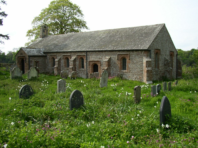
Ninekirks
Ninekirks is the local name for St Ninian's church, Brougham, Cumbria. Dedicated to Saint Ninian, it was formerly the Anglican parish church for Brougham...

Wetheriggs Pottery
Wetheriggs Pottery is a former pottery on the C3047 road, east of the hamlet of Clifton Dykes, in Clifton, Cumbria, 5 miles (8.0 km) southeast of Penrith...
Cliburn railway station
Cliburn railway station was a station situated on the Eden Valley Railway in Westmorland (now in Cumbria), England. It served the village of Cliburn to...
Cliburn Moss
Cliburn Moss is a national nature reserve located northwest of the village of Cliburn, in the county of Cumbria, England. It contains wetland habitats...
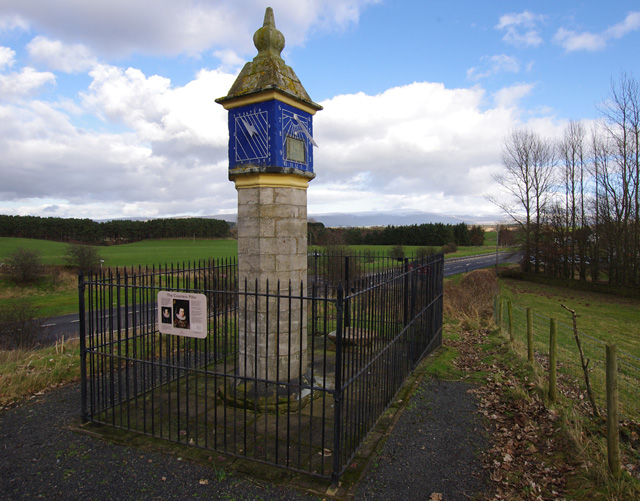
Countess Pillar
The Countess Pillar is a 17th-century monument near Brougham, Cumbria, England, between Penrith and Appleby. It is two miles east of Penrith on the A66...
Melkinthorpe
Melkinthorpe is a hamlet in the civil parish of Lowther, in the Eden district, in the county of Cumbria, England. It is near the villages of Hackthorpe...
Nearby Amenities
Located within 500m of 54.645263,-2.664678Have you been to Brougham?
Leave your review of Brougham below (or comments, questions and feedback).