Brompton Regis
Civil Parish in Somerset Somerset West and Taunton
England
Brompton Regis

Brompton Regis is a picturesque civil parish located in the county of Somerset, England. Situated within the Exmoor National Park, the village is surrounded by stunning natural beauty and is known for its idyllic countryside setting.
The village itself is small and charming, with a population of around 300 residents. It is situated on the eastern edge of Exmoor, near the border with Devon. The parish covers an area of approximately 28 square kilometers and is characterized by rolling hills, lush green fields, and woodlands.
One of the notable features of Brompton Regis is St. Mary's Church, a historic building that dates back to the 13th century. The church is known for its impressive architecture and beautiful stained glass windows.
The village also has a strong sense of community, with various local events and activities taking place throughout the year. The Brompton Regis Show, an annual agricultural show, is a popular event that attracts visitors from the surrounding areas.
In terms of amenities, Brompton Regis has a village hall, a primary school, and a pub called The White Horse Inn. The village is well-connected to the nearby towns of Minehead and Taunton, which offer a wider range of facilities and services.
Overall, Brompton Regis is a charming rural village, offering a peaceful and tranquil way of life amidst the stunning natural landscape of Exmoor National Park.
If you have any feedback on the listing, please let us know in the comments section below.
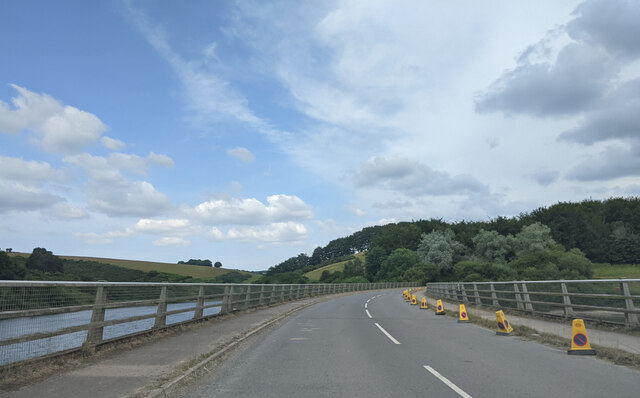
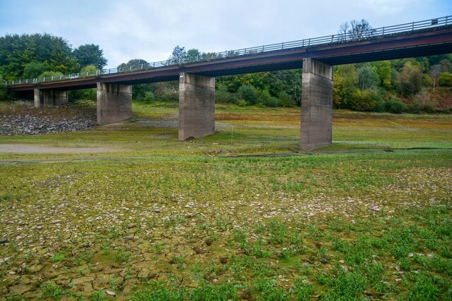
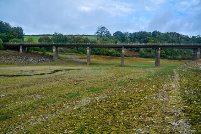
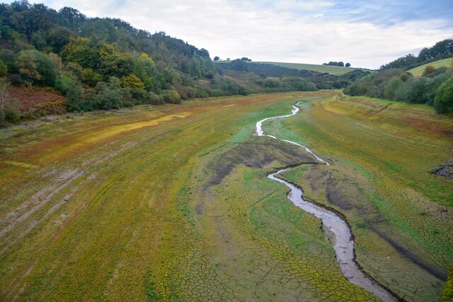
Brompton Regis Images
Images are sourced within 2km of 51.074444/-3.479966 or Grid Reference SS9631. Thanks to Geograph Open Source API. All images are credited.


Brompton Regis is located at Grid Ref: SS9631 (Lat: 51.074444, Lng: -3.479966)
Administrative County: Somerset
District: Somerset West and Taunton
Police Authority: Avon and Somerset
What 3 Words
///gone.abolish.forkful. Near Dulverton, Somerset
Nearby Locations
Related Wikis

Brompton Regis
Brompton Regis (formerly known as Kingsbrompton) is a village and civil parish in the Somerset West and Taunton district of Somerset, England about 5 miles...
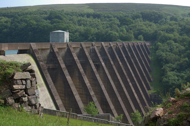
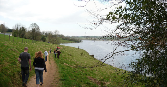
Wimbleball Lake
Wimbleball Lake on Exmoor in Somerset, England, is a water supply reservoir constructed in the 1970s and completed in 1979. The 161 feet (49 m) high dam...

Church of St Mary, Brompton Regis
The Anglican Church of St Mary in Brompton Regis, Somerset, England was built in the 13th century. It is a Grade II* listed building. == History == The...
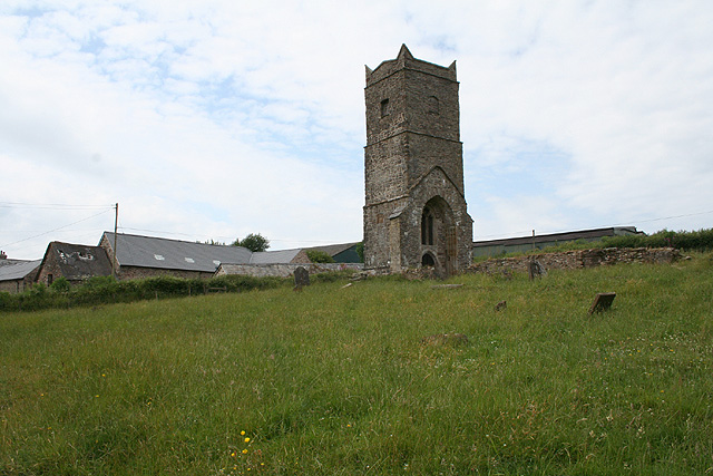
Old Church of St James, Upton
The Old St James's Church is a former church in the village of Upton, Somerset, England, of which only the tower remains, overlooking Wimbleball Lake....

Haddon Hill
Haddon Hill is a prominent east–west aligned ridge in west Somerset, England, close to Hartford within the civil parish of Brompton Regis. It lies on the...

Church of St Mary Magdalene, Withiel Florey
The Anglican Church of St Mary Magdalene in Withiel Florey, Somerset, England was built in the 12th century. It is a Grade II* listed building. == History... ==

Gupworthy railway station
Gupworthy (sometimes referred to as "Goosemoor") was originally intended as an intermediate station on the West Somerset Mineral Railway (WSMR), but neither...

Upton, Somerset
Upton is a village and civil parish north of Skilgate in Somerset, England. It is situated on a hill above the eastern end of Wimbleball Lake. == History... ==
Nearby Amenities
Located within 500m of 51.074444,-3.479966Have you been to Brompton Regis?
Leave your review of Brompton Regis below (or comments, questions and feedback).