Brompton Ralph
Civil Parish in Somerset Somerset West and Taunton
England
Brompton Ralph
Brompton Ralph is a civil parish located in Somerset, England. It is situated approximately 7 miles north-west of Wiveliscombe and 10 miles south-east of Minehead. The parish covers an area of around 1,500 acres and is home to a population of around 300 people.
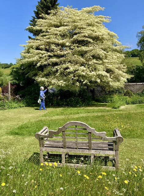
The village of Brompton Ralph itself is a charming and picturesque settlement, with a rich history that dates back to medieval times. It features a mix of traditional stone houses and cottages, along with a few modern developments. The centerpiece of the village is the 15th-century Church of St. Mary, which is renowned for its stunning architecture and beautiful stained glass windows.
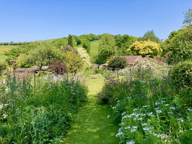
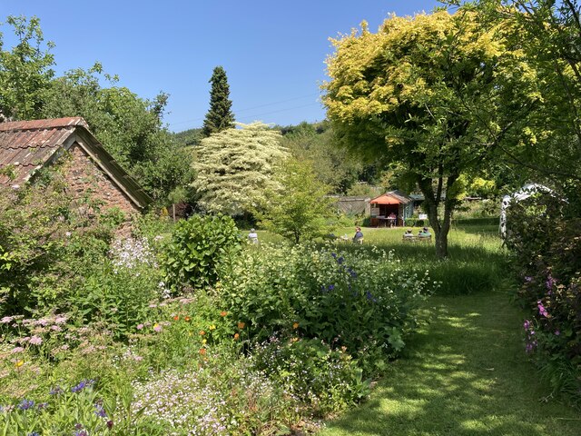
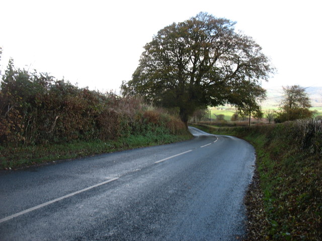
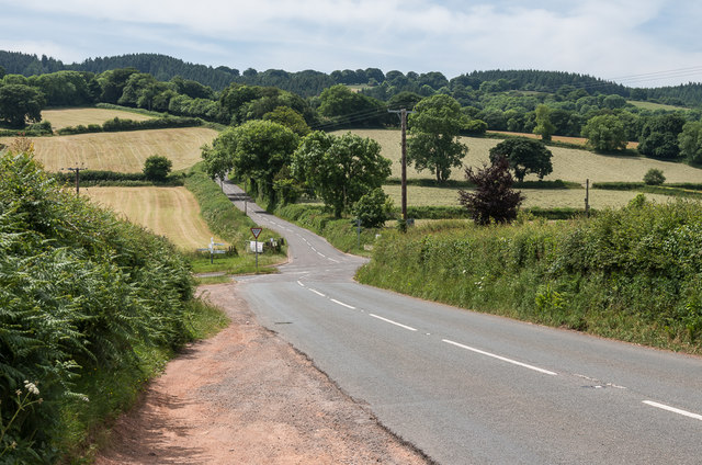
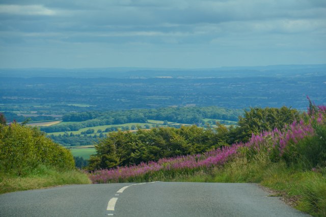
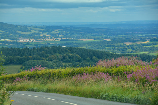
The surrounding countryside is mainly agricultural, with rolling hills and lush green fields dominating the landscape. The parish is well-known for its farming activities, particularly sheep farming, which has been a mainstay of the local economy for centuries.
Brompton Ralph is also blessed with natural beauty, with a variety of walking and cycling trails offering visitors the opportunity to explore the stunning Somerset countryside. The nearby Brendon Hills and Exmoor National Park provide further opportunities for outdoor activities such as hiking and wildlife spotting.
In terms of amenities, the village has a primary school, a village hall, and a pub, providing residents with essential services and a sense of community. Overall, Brompton Ralph offers a tranquil and idyllic setting for those seeking a peaceful rural retreat in the heart of Somerset.
If you have any feedback on the listing, please let us know in the comments section below.
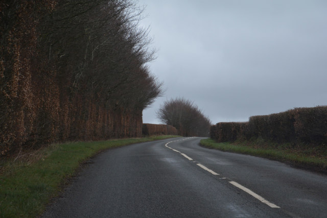
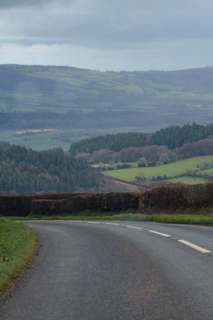
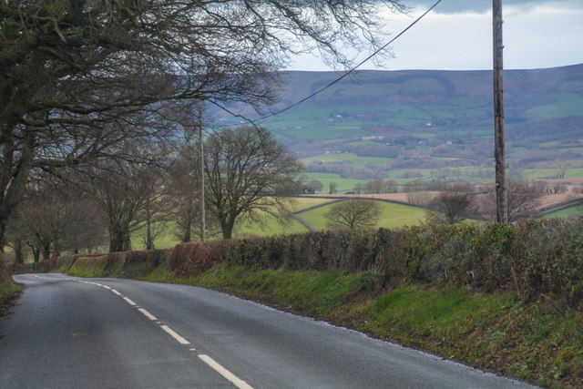
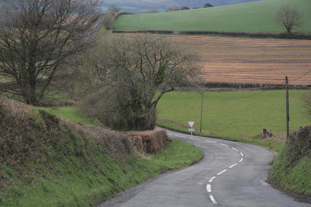
Brompton Ralph Images
Images are sourced within 2km of 51.096963/-3.327113 or Grid Reference ST0733. Thanks to Geograph Open Source API. All images are credited.


Brompton Ralph is located at Grid Ref: ST0733 (Lat: 51.096963, Lng: -3.327113)
Administrative County: Somerset
District: Somerset West and Taunton
Police Authority: Avon and Somerset
What 3 Words
///torso.applies.lifetimes. Near Wiveliscombe, Somerset
Nearby Locations
Related Wikis
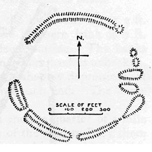
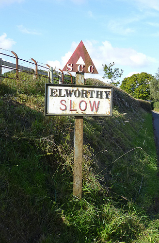
Elworthy Barrows
Elworthy Barrows is an unfinished Iron Age hill fort, rather than Bronze Age barrows, which is designated a scheduled ancient monument (No:188401). It...
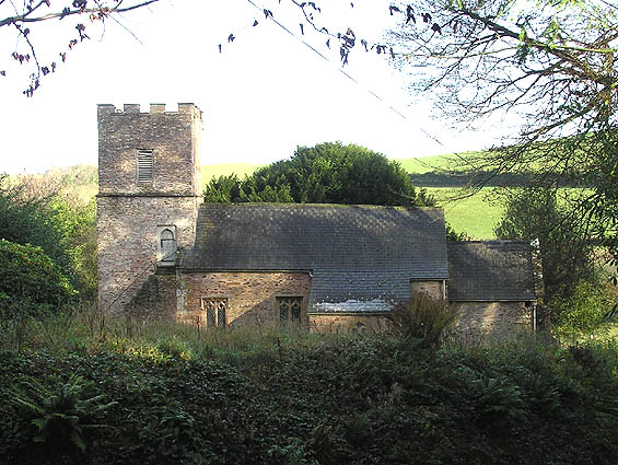
Church of St Martin, Elworthy
The Church of St Martin in Elworthy, Somerset, England, is dedicated to St Martin of Tours. It dates from the 13th century and is recorded in the National...
Elworthy
Elworthy is a small village and civil parish in the Brendon Hills 5 miles (8 km) south-east of Watchet, and 12 miles (19 km) west of Taunton, in the Somerset...

Brompton Ralph
Brompton Ralph is a village and civil parish in the Somerset West and Taunton district of Somerset, England, about 11 miles (18 km) west of Taunton, and...
Related Videos

Sitwell Supper Club
Britain's best Supper Club by food critic William Sitwell. Book your seats on Somerset's Longest Table. Every two weeks William ...
Nearby Amenities
Located within 500m of 51.096963,-3.327113Have you been to Brompton Ralph?
Leave your review of Brompton Ralph below (or comments, questions and feedback).