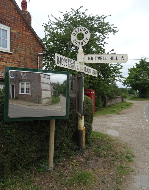
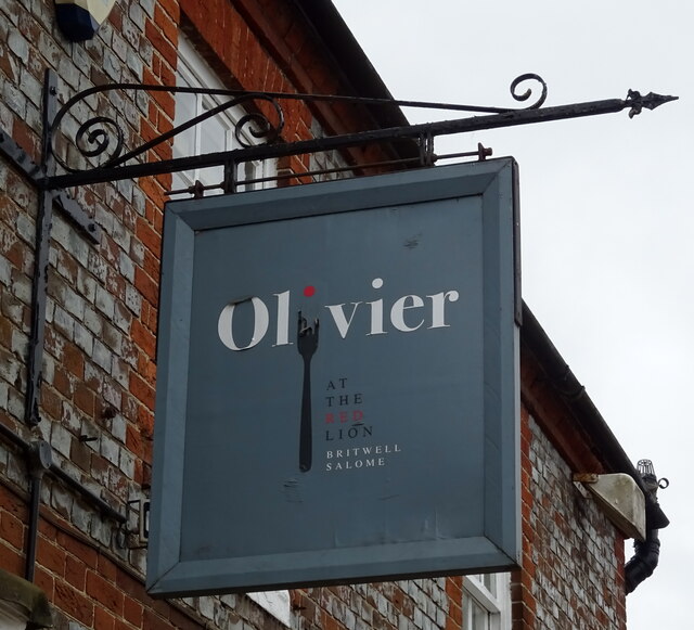
Britwell Salome
Civil Parish in Oxfordshire South Oxfordshire
England
Britwell Salome

Britwell Salome is a civil parish located in Oxfordshire, England. Situated approximately 7 miles southeast of the town of Wallingford, it covers an area of about 1,000 acres. The village itself is small and rural, with a population of around 200 people.
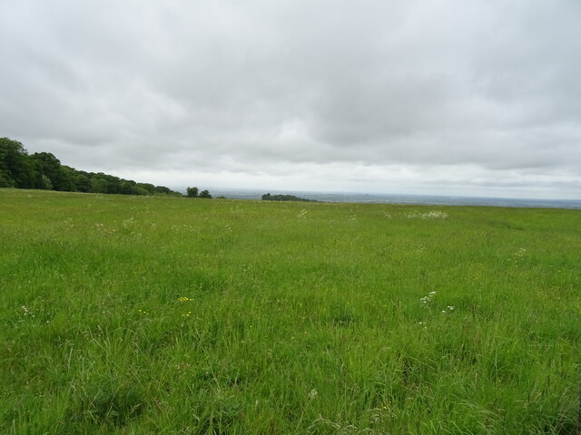
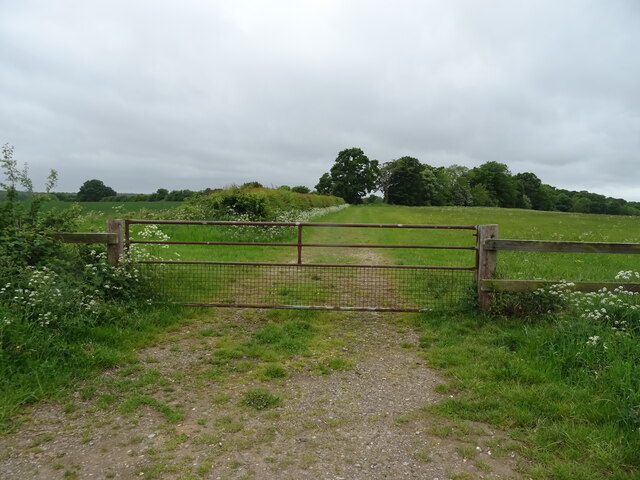
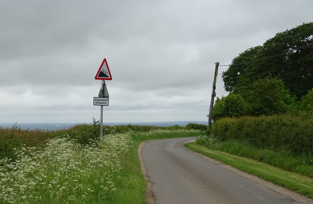
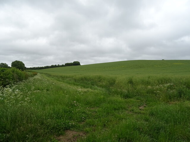
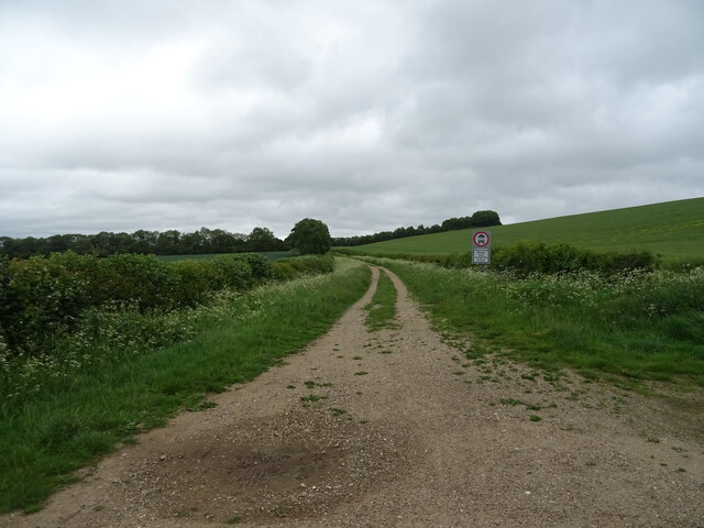
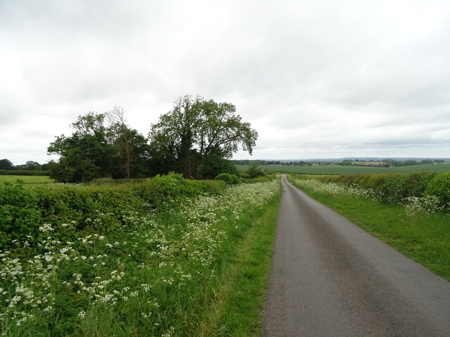
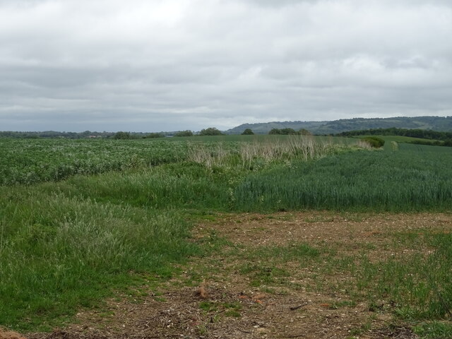
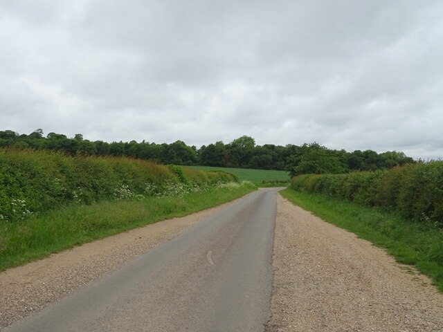
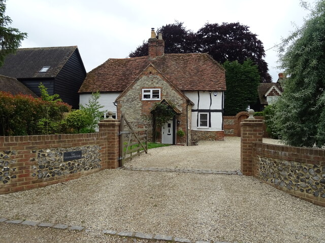
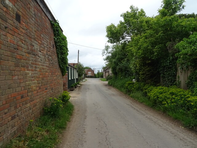
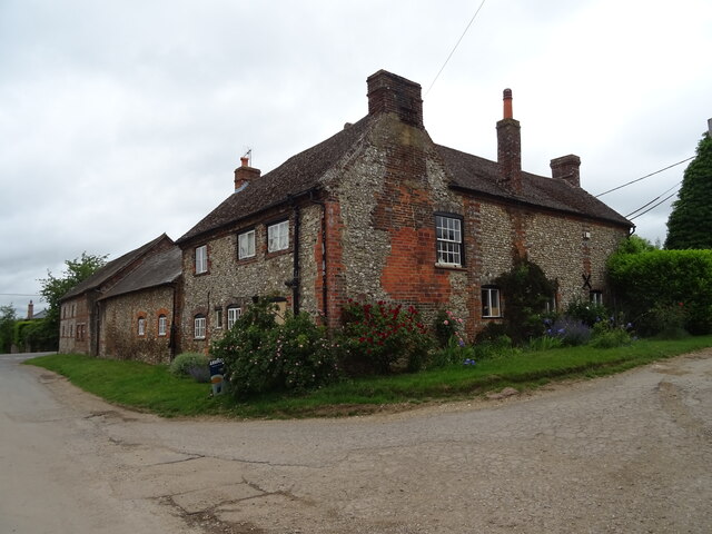
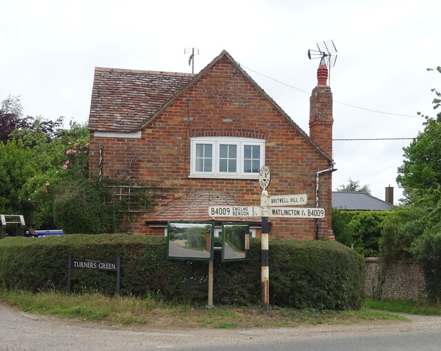
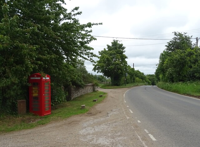
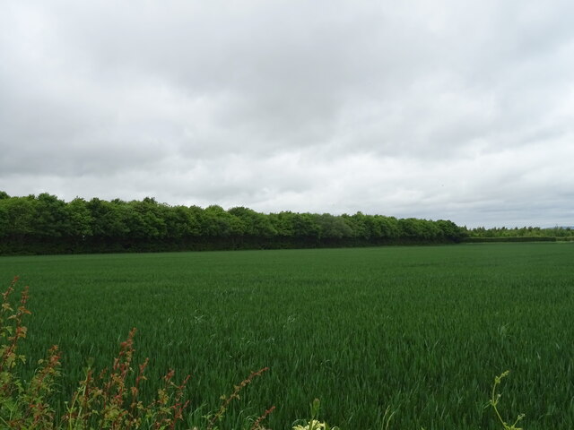
The parish is surrounded by beautiful countryside, characterized by rolling hills, fields, and meadows. The landscape is dotted with charming cottages, farmhouses, and a few larger houses. The River Thame flows nearby, adding to the picturesque scenery.
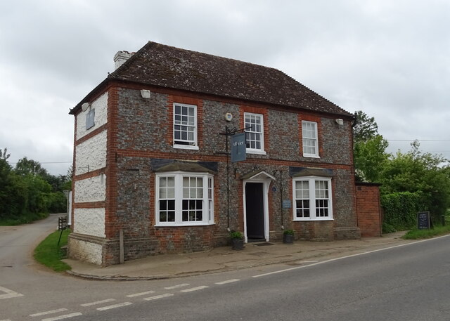
Historically, Britwell Salome was part of the ancient hundred of Ewelme and was mentioned in the Domesday Book in 1086. The village is known for its historic church, St. Nicholas, which dates back to the 12th century. It features a Norman doorway and a medieval wall painting.
The village has limited amenities, with no shops or schools within its boundaries. However, it benefits from its proximity to nearby towns and villages, such as Wallingford, where residents can access a wider range of services.
Britwell Salome offers a peaceful and tranquil setting, making it an attractive place for those seeking a quiet rural lifestyle. The area is popular with walkers and nature enthusiasts, who can explore the surrounding countryside and enjoy the abundance of wildlife that thrives in the area.
Overall, Britwell Salome is a small and idyllic village in Oxfordshire, known for its beautiful landscapes, historic church, and peaceful atmosphere.
If you have any feedback on the listing, please let us know in the comments section below.
Britwell Salome Images
Images are sourced within 2km of 51.632129/-1.024251 or Grid Reference SU6793. Thanks to Geograph Open Source API. All images are credited.
Britwell Salome is located at Grid Ref: SU6793 (Lat: 51.632129, Lng: -1.024251)
Administrative County: Oxfordshire
District: South Oxfordshire
Police Authority: Thames Valley
What 3 Words
///rejoin.sleepless.glades. Near Watlington, Oxfordshire
Nearby Locations
Related Wikis

Britwell Salome
Britwell Salome is a village and civil parish in South Oxfordshire, England centred 4+1⁄2 miles (7 km) northeast of Wallingford. The 2011 Census recorded...
Watlington, Oxfordshire
Watlington is a small market town and civil parish about 7 miles (11 km) south of Thame in Oxfordshire, near the county's eastern edge and less than 2...

Swyncombe Downs
Swyncombe Downs is a 47.1-hectare (116-acre) biological Site of Special Scientific Interest east of Wallingford in Oxfordshire.This is an area of chalk...
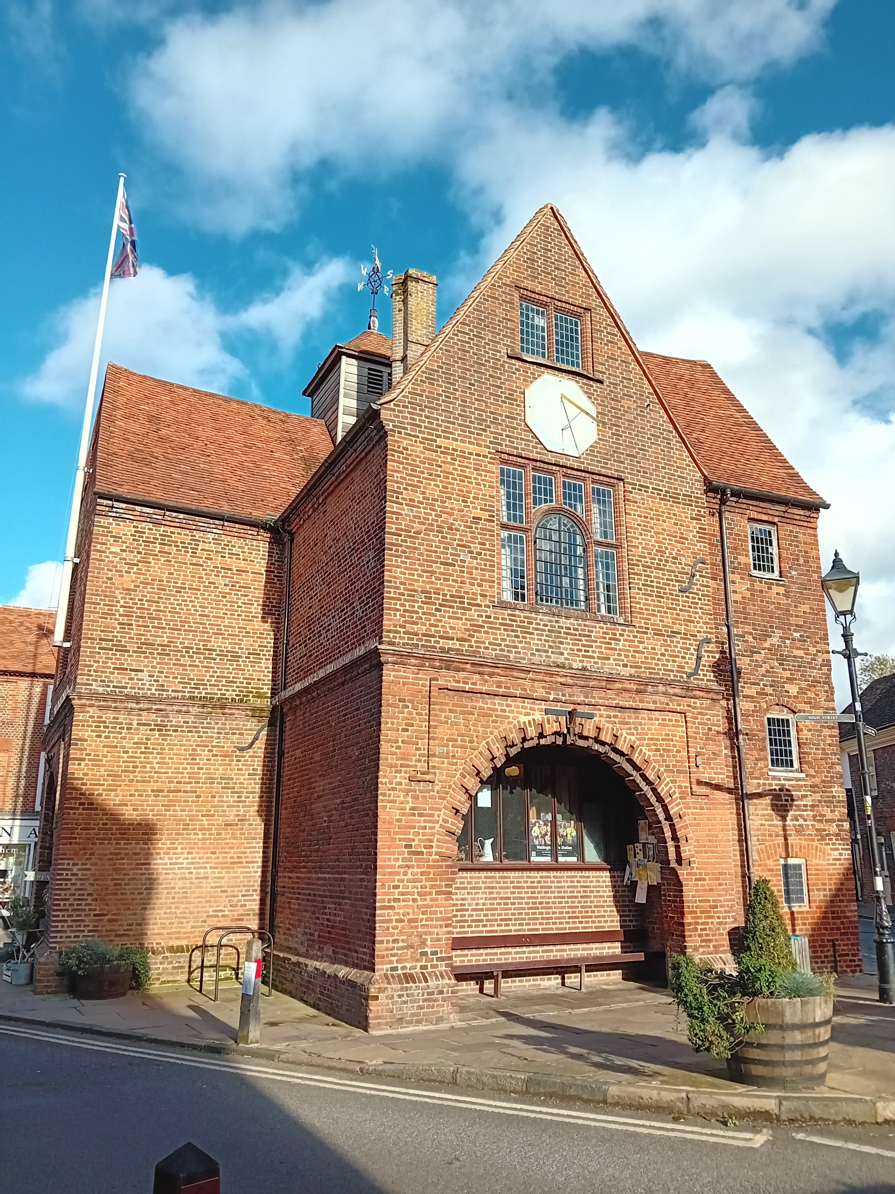
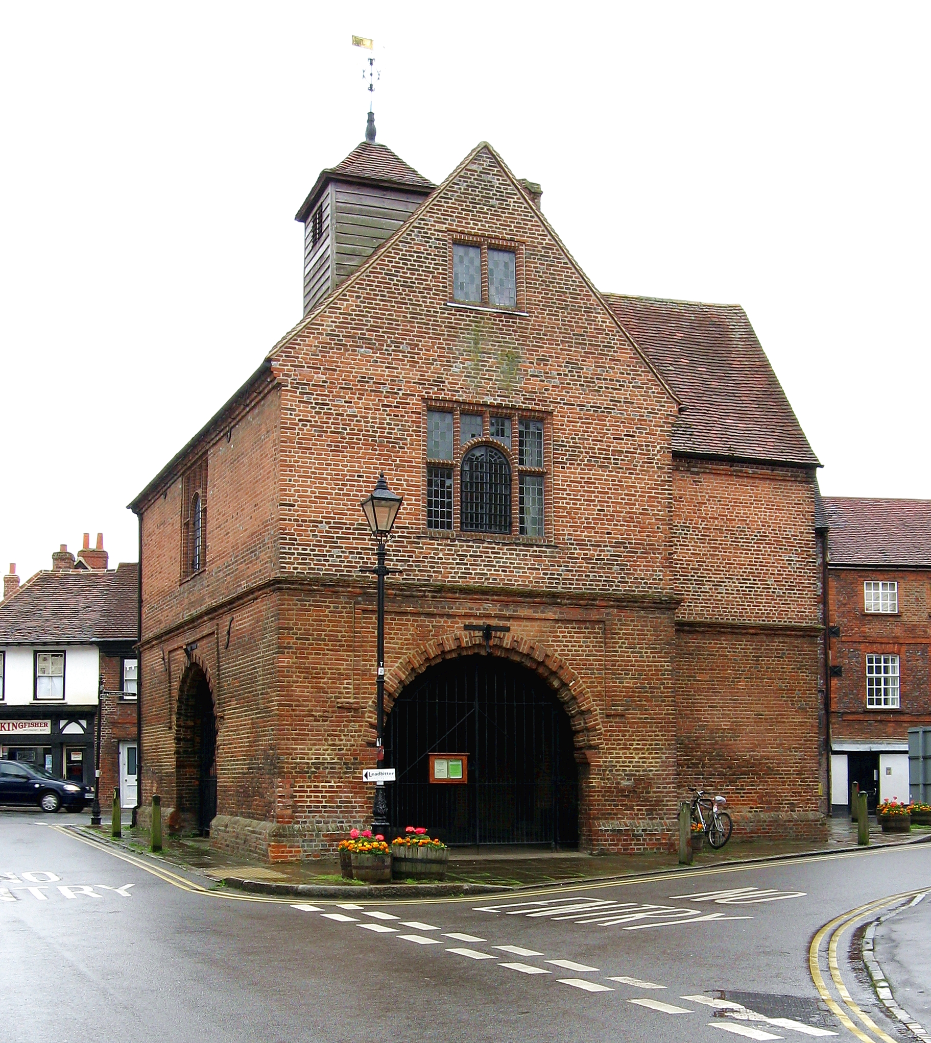
Watlington Town Hall
Watlington Town Hall is a municipal building in the High Street in Watlington, Oxfordshire, England. The building, which is used as a community events...

Orange Bakery
Orange Bakery is an artisanal bakery and baked goods shop located in Watlington, Oxfordshire, UK. It was started in 2019 by Kitty Tait with the help of...

Icknield Community College
Icknield Community College is a coeducational secondary school located in Watlington, Oxfordshire, England. It offers tuition for years 7-11 (ages 11...

Cuxham
Cuxham is a village and former civil parish, now in the parish of Cuxham with Easington, in the South Oxfordshire district, in the county of Oxfordshire...

Watlington Chalk Pit
Watlington Chalk Pit is a 1.6-hectare (4.0-acre) Local Nature Reserve east of Watlington in Oxfordshire. It is owned by South Oxfordshire District Council...
Nearby Amenities
Located within 500m of 51.632129,-1.024251Have you been to Britwell Salome?
Leave your review of Britwell Salome below (or comments, questions and feedback).