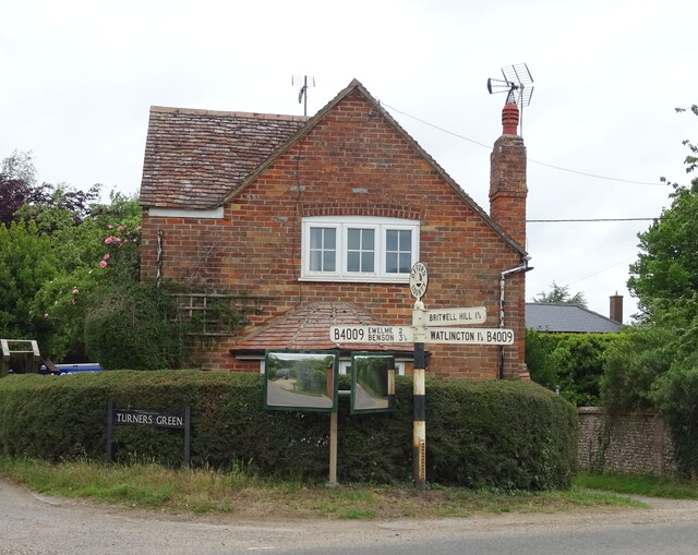
Britwell Salome

Settlement in Oxfordshire South Oxfordshire

England

Britwell Salome

Oilseed rape crop, Britwell Hill
Oilseed rape crop, Britwell Hill Credit: JThomas

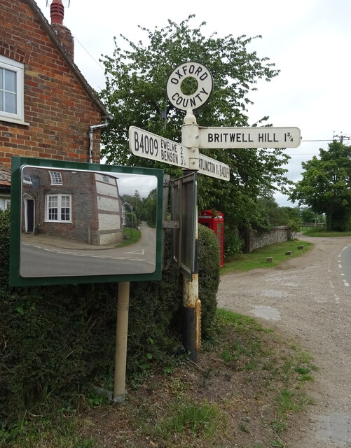
Britwell Salome is a small village located in the county of Oxfordshire, England. Situated approximately 10 miles southeast of the city of Oxford, it falls within the South Oxfordshire district. The village is nestled in a picturesque rural landscape, surrounded by rolling hills, lush farmland, and charming countryside.

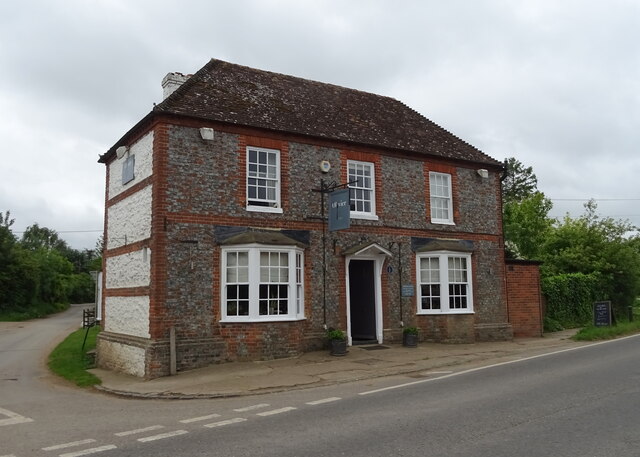
With a population of around 200 residents, Britwell Salome is a close-knit community that exudes a sense of tranquility and charm. The village boasts a rich history, dating back to medieval times, and is known for its well-preserved traditional stone cottages and buildings. The local St. Nicholas Church, a Grade II listed building, is a prominent feature in the village, adding to its historical charm.

Despite its small size, Britwell Salome offers a range of amenities to its residents. These include a village hall, which serves as a hub for various community activities and events. The village also has a primary school, ensuring that children in the area have access to education within their local community.

Surrounding the village, there are ample opportunities for outdoor activities and exploration. The nearby countryside offers numerous walking and cycling trails, allowing residents and visitors to enjoy the natural beauty of the area. Additionally, the River Thames flows close by, providing opportunities for boating and fishing.

Overall, Britwell Salome is a delightful village that offers a peaceful retreat from the hustle and bustle of larger towns and cities. Its idyllic setting, rich history, and strong community spirit make it a truly charming place to live or visit in Oxfordshire.

If you have any feedback on the listing, please let us know in the comments section below.

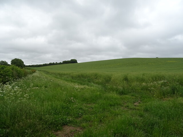
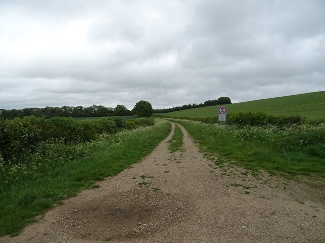
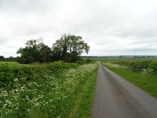
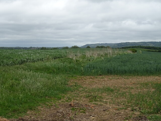
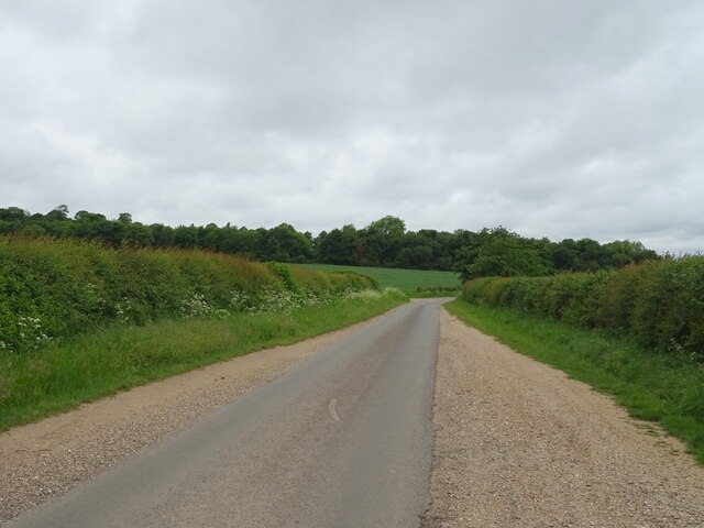
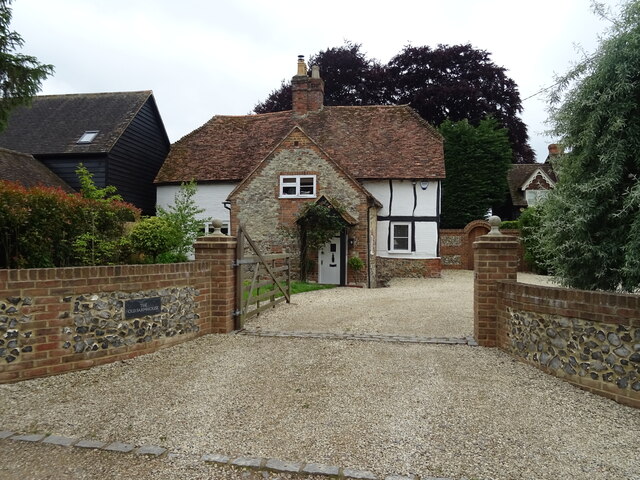
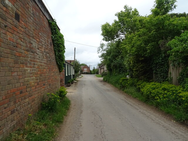
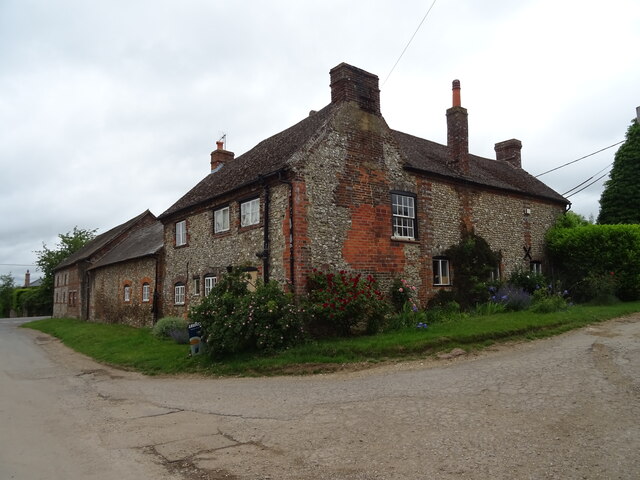
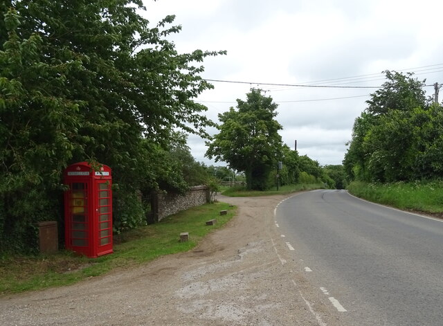
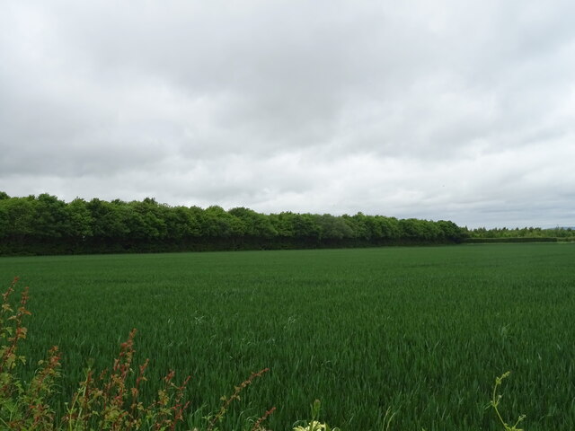
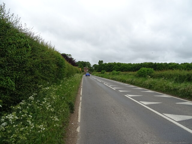
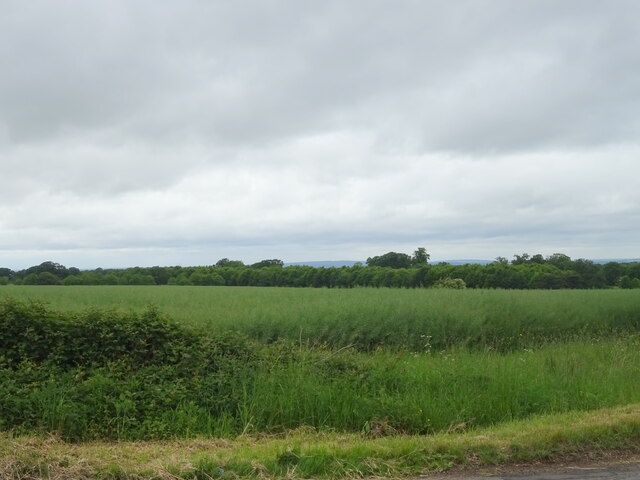
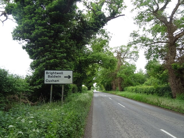
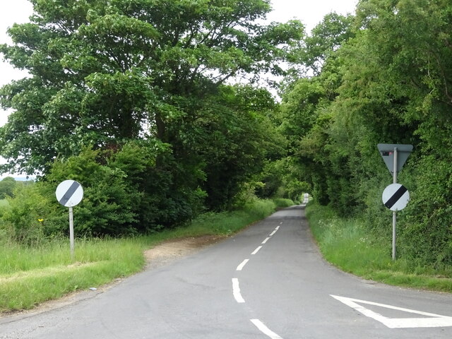
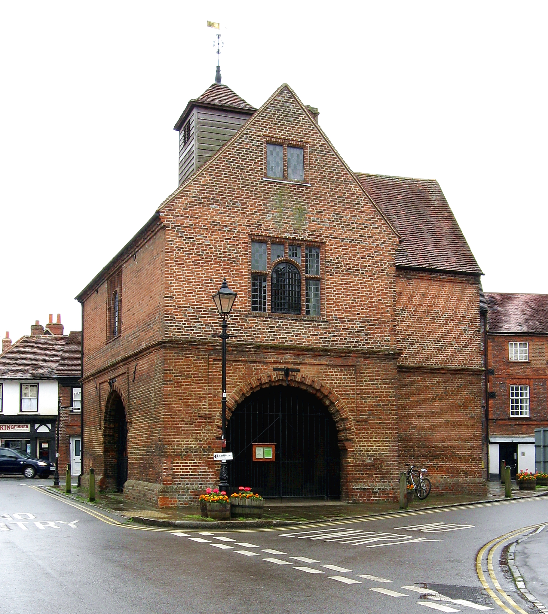
Britwell Salome Images

Images are sourced within 2km of 51.633369/-1.03288 or Grid Reference SU6793. Thanks to Geograph Open Source API. All images are credited.

Oilseed rape crop, Britwell Hill
Ridgeway Restricted byway, Britwell Hill.
Ridgeway
Restricted byway, Britwell Hill.
Descending from Britwell Hill  Minor road towards Britwell Salome.
Descending from Britwell Hill
Minor road towards Britwell Salome.
Mixed crops off Britwell Hill
Britwell Hill  Towards Britwell Salome.
Britwell Hill
Towards Britwell Salome.
The Old Farmhouse, Britwell Salome
Village road, Britwell Salome
Red Lion Farm, Britwell Salome
Fingerpost and house, Britwell Salome
Fingerpost on the B4009, Britwell Salome
The Red Lion, Britwell Salome On the B4009.
Incorporates Olivier at The Red Lion restaurant.
See <a href="https://www.geograph.org.uk/photo/7295585">SU6793 : Sign for the Olivier at The Red Lion</a> for sign.
The Red Lion, Britwell Salome
On the B4009. Incorporates Olivier at The Red Lion restaurant. See SU6793 : Sign for the Olivier at The Red Lion for sign.
Sign for the Olivier at The Red Lion See <a href="https://www.geograph.org.uk/photo/7295584">SU6793 : The Red Lion, Britwell Salome</a> for context.
Sign for the Olivier at The Red Lion
Telephone box equipped with defibrillator on the B4009, Britwell Salome
Cereal crop and woodland off the B4009, Turner's Green
B4009, Turner's Green Towards Benson.
B4009, Turner's Green
Towards Benson.
Oilseed rape crop off the B4009
B4009 towards Benson Approaching the turn off for Brightwell Baldwin.
B4009 towards Benson
Approaching the turn off for Brightwell Baldwin.
Minor road towards Brightwell Baldwin Off the B4009.
Minor road towards Brightwell Baldwin
Off the B4009.
Show me another place!

Britwell Salome is located at Grid Ref: SU6793 (Lat: 51.633369, Lng: -1.03288)

Administrative County: Oxfordshire

District: South Oxfordshire

Police Authority: Thames Valley

What 3 Words

///assure.update.panicking. Near Watlington, Oxfordshire

Related Wikis

Britwell Salome

Britwell Salome is a village and civil parish in South Oxfordshire, England centred 4+1⁄2 miles (7 km) northeast of Wallingford. The 2011 Census recorded...

Cuxham

Cuxham is a village and former civil parish, now in the parish of Cuxham with Easington, in the South Oxfordshire district, in the county of Oxfordshire...

Swyncombe Downs

Swyncombe Downs is a 47.1-hectare (116-acre) biological Site of Special Scientific Interest east of Wallingford in Oxfordshire.This is an area of chalk...

Watlington, Oxfordshire

Watlington is a small market town and civil parish about 7 miles (11 km) south of Thame in Oxfordshire, near the county's eastern edge and less than 2...

Nearby Amenities

Located within 500m of 51.633369,-1.03288
Bus Stop
The Red Lion PH
Bus: yes
Naptan AtcoCode: 340000139E
Naptan Bearing: NE
Naptan CommonName: The Red Lion PH
Naptan Indicator: Opposite
Naptan Landmark: Bus Shelter
Naptan NaptanCode: oxfamjtj
Naptan Street: B4009
Naptan Verified: no
Public Transport: platform
Shelter: yes
Source: naptan_import
Lat/Long: 51.6335906/-1.0327498
The Red Lion PH
Naptan AtcoCode: 340000139W
Naptan Bearing: SW
Naptan BusStopType: CUS
Naptan CommonName: The Red Lion PH
Naptan Indicator: Outside
Naptan Landmark: Turners Green
Naptan NaptanCode: oxfamjtg
Naptan Street: B4009
Naptan Verified: no
Source: naptan_import
Lat/Long: 51.6333494/-1.0329193
Post Box
Post Box Type: lamp
Ref: OX49 484
Lat/Long: 51.6337333/-1.0325599
Britwell Salome
Is In: Oxfordshire, England, UK
Place: hamlet
Wikidata: Q2676462
Wikipedia: en:Britwell Salome
Lat/Long: 51.6341461/-1.032776
Maxspeed: 30 mph
Traffic Sign: maxspeed
Lat/Long: 51.6315901/-1.0309489
Barrier: stile
Bicycle: no
Foot: yes
Material: wood
Stile: stepover
Lat/Long: 51.6347286/-1.0361682
Barrier: stile
Bicycle: no
Foot: yes
Material: wood
Stile: stepover
Lat/Long: 51.6346273/-1.0359779
Barrier: stile
Bicycle: no
Foot: yes
Material: wood
Stile: stepover
Lat/Long: 51.6344805/-1.0357199
Bench
Backrest: yes
Lat/Long: 51.6313516/-1.0310064
Turning Circle
Lat/Long: 51.6331629/-1.0301567
Telephone
Defibrillator
Booth: K6
Covered: booth
Defibrillator Location: inside old red phone box in Britwell Salome
Emergency: defibrillator
Man Made: telephone_box
Lat/Long: 51.6341812/-1.032021
Information: guidepost
Tourism: information
Lat/Long: 51.6340697/-1.0321632
Fixme: solar panels?
Lat/Long: 51.6328181/-1.030362
The data included in this document is from www.openstreetmap.org. The data is made available under ODbL.

Have you been to Britwell Salome?

Leave your review of Britwell Salome below (or comments, questions and feedback).