Brimfield
Civil Parish in Herefordshire
England
Brimfield
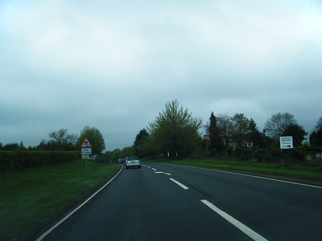
Brimfield is a civil parish located in the county of Herefordshire, England. Situated approximately five miles south of the market town of Ludlow, it covers an area of about 3.78 square kilometers. Brimfield is a rural parish with a relatively small population, providing a peaceful and picturesque setting for residents and visitors alike.
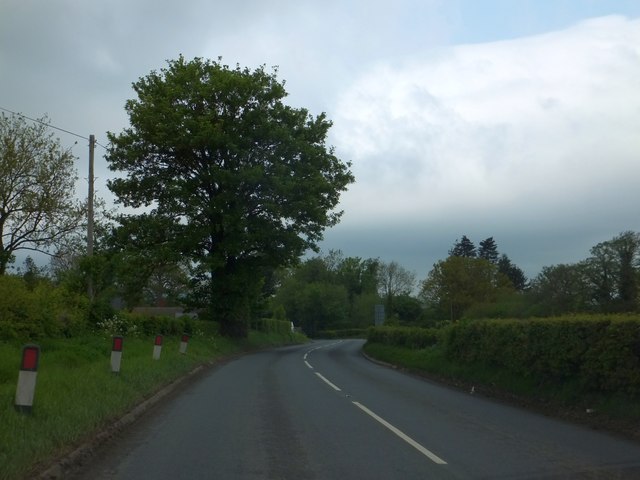
The parish is known for its rolling hills, meadows, and woodlands, which offer stunning views of the surrounding countryside. It is predominantly an agricultural area, with farming being the primary industry. The fertile land supports a variety of crops and livestock, contributing to the local economy.
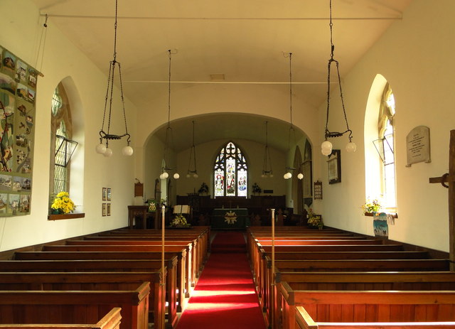
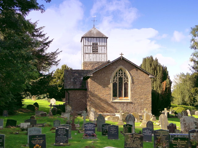
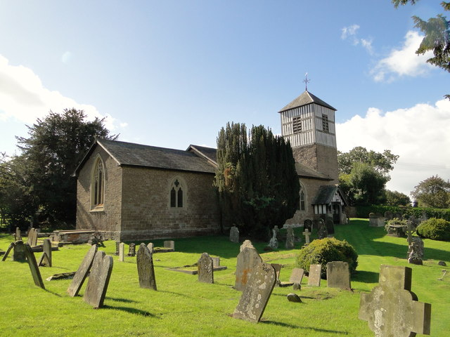
Brimfield is also home to several historic buildings that add to its charm and character. The most notable landmark is Brimfield Church, a Grade II* listed building dating back to the 12th century. This medieval church features unique architectural elements and beautiful stained glass windows.
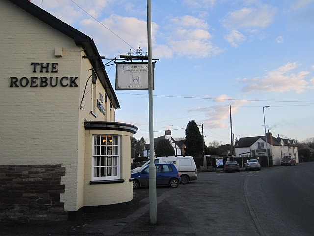
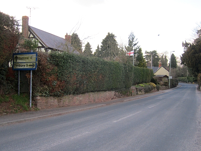
Despite its rural setting, Brimfield benefits from its proximity to Ludlow, a bustling market town renowned for its gastronomy and historic attractions. Residents of Brimfield can easily access the amenities and services available in Ludlow, including shops, restaurants, schools, and healthcare facilities.
In conclusion, Brimfield is a small but idyllic civil parish in Herefordshire, offering a tranquil countryside setting, agricultural heritage, and close proximity to the vibrant town of Ludlow. It is a desirable location for those seeking a rural lifestyle with easy access to essential amenities and services.
If you have any feedback on the listing, please let us know in the comments section below.
Brimfield Images
Images are sourced within 2km of 52.301616/-2.693444 or Grid Reference SO5267. Thanks to Geograph Open Source API. All images are credited.


Brimfield is located at Grid Ref: SO5267 (Lat: 52.301616, Lng: -2.693444)
Unitary Authority: County of Herefordshire
Police Authority: West Mercia
What 3 Words
///winded.inclines.seagull. Near Orleton, Herefordshire
Nearby Locations
Related Wikis

Brimfield, Herefordshire
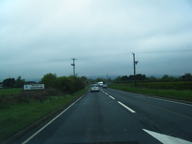
Brimfield is a village and civil parish in north Herefordshire, England. The village lies on the A49 road at the border with Shropshire. To the south,...

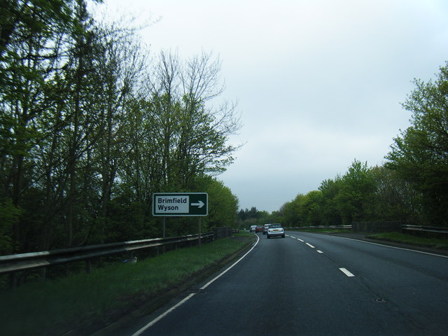
Wyson
Wyson is a hamlet in north Herefordshire, England, situated west of the A49 road and the adjacent village of Brimfield.It lies in the civil parish of Brimfield...

Woofferton
Woofferton is a village to the south of Ludlow, in Shropshire, England. It is one of Shropshire's most southerly villages and lies on the border with Herefordshire...
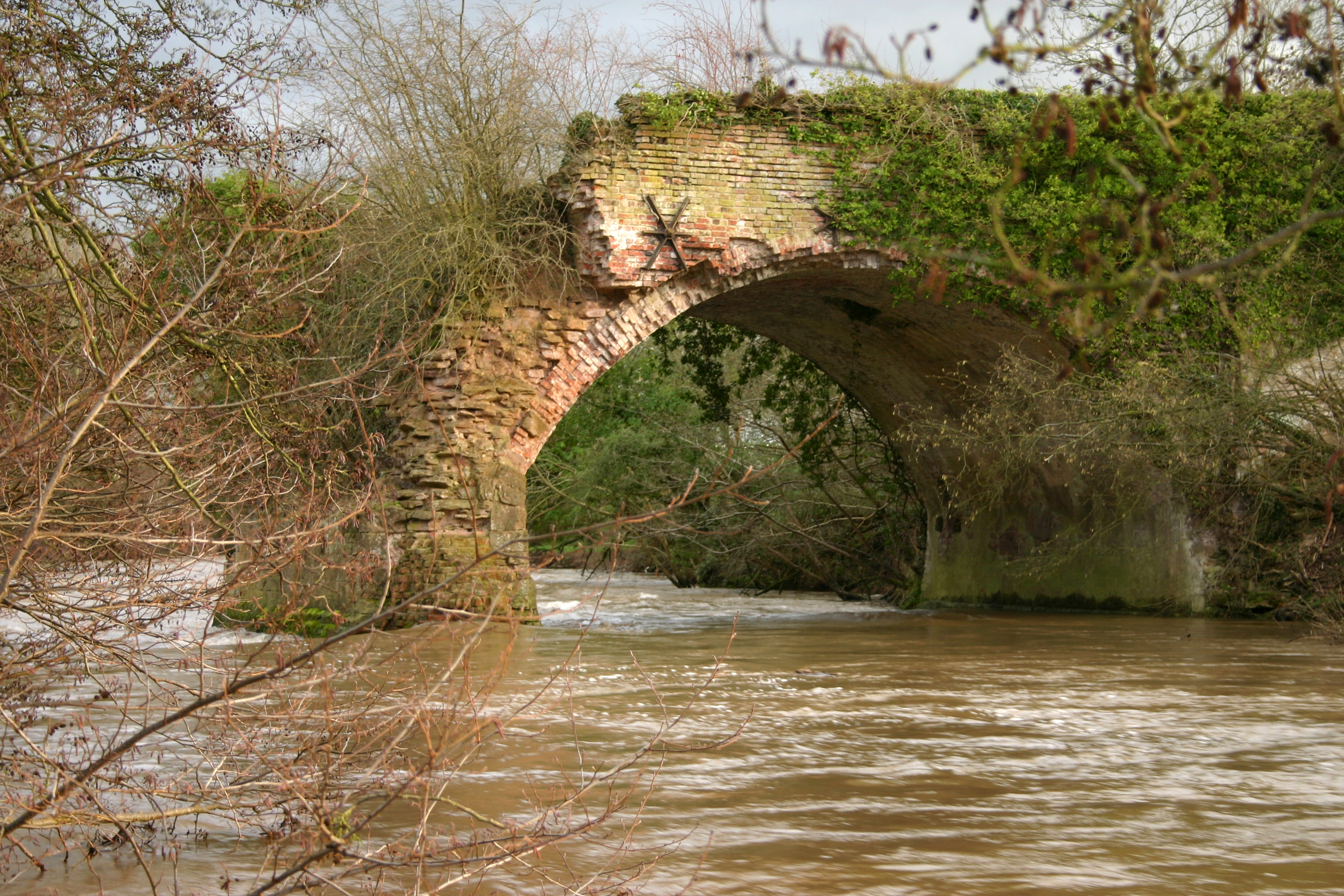
Leominster Canal
The Leominster Canal was an English canal which ran for just over 18 miles from Mamble to Leominster through 16 locks and a number of tunnels, some of...
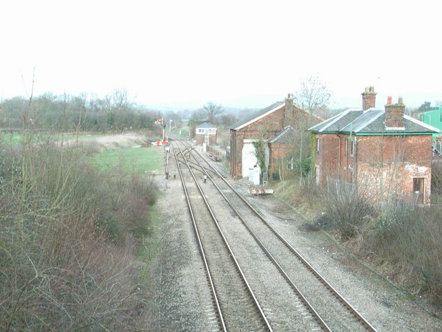
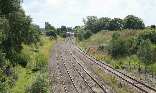
Woofferton railway station
Woofferton railway station was a station and railway junction near Woofferton, Shropshire, England, where the Tenbury Railway joined the Shrewsbury and...
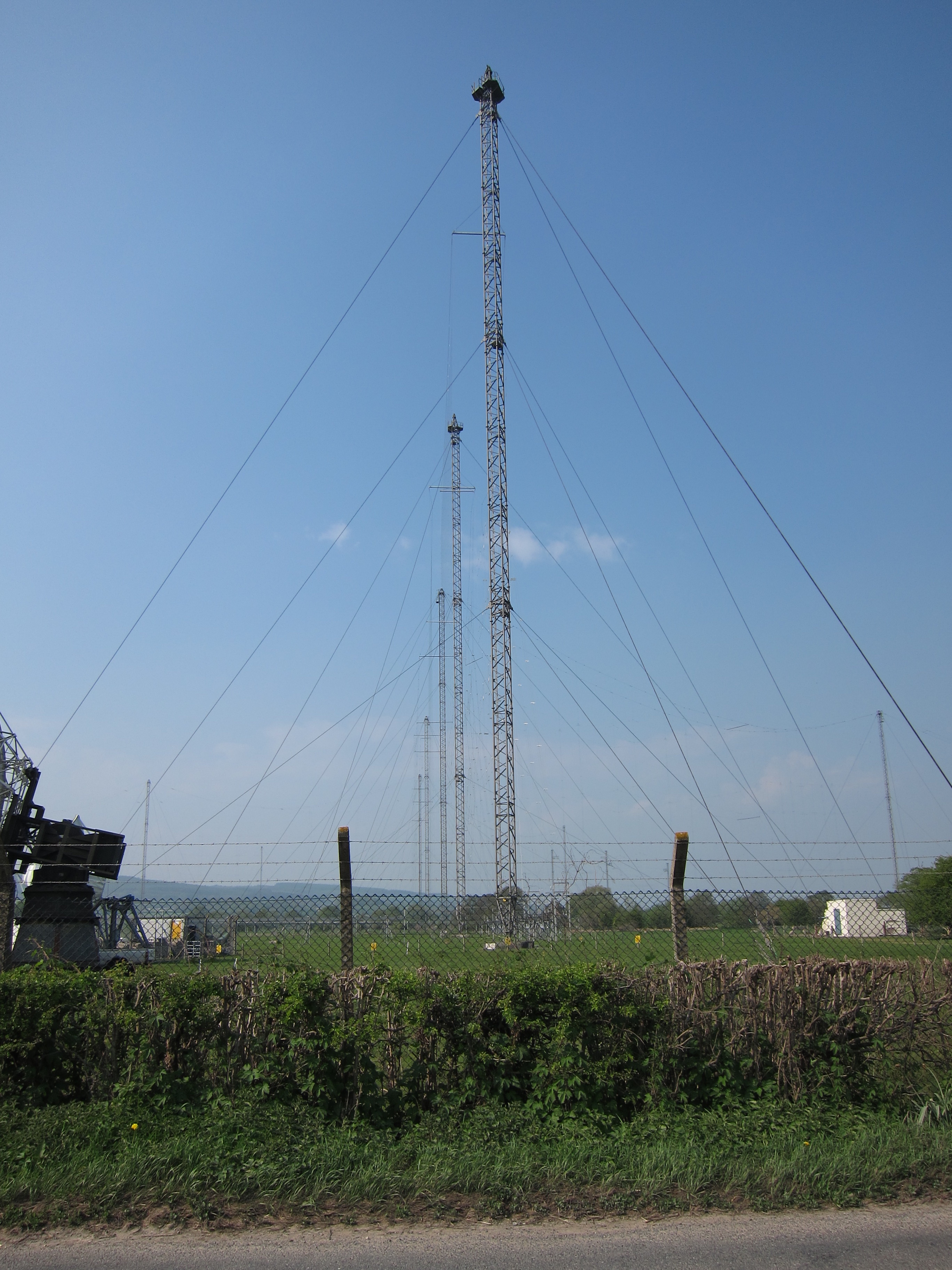
Woofferton transmitting station
The Woofferton transmitting station is owned and operated by Encompass Digital Media, as one of the BBC's assets which were handed over as part of the...

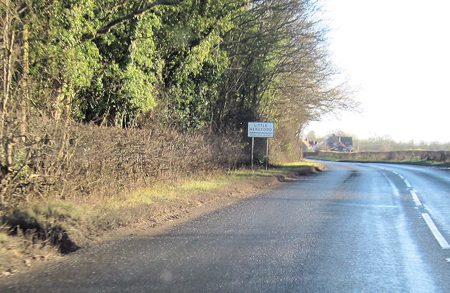
Little Hereford
Little Hereford is a small village and civil parish in Herefordshire, England. The civil parish includes the hamlet of Middleton. The population of the...
Easton Court railway station
Easton Court railway station was a station in Little Hereford, Herefordshire, England. The station opened on 1 August 1861 as the only intermediate stop...
Nearby Amenities
Located within 500m of 52.301616,-2.693444Have you been to Brimfield?
Leave your review of Brimfield below (or comments, questions and feedback).