Brightwell Baldwin

Civil Parish in Oxfordshire South Oxfordshire

England

Brightwell Baldwin

Direction Sign – Signpost on the B480 in Cuxham Located in Cuxham on the northeast side of a T junction on the B480, Cuxham with Easington parish. 3 arms and annulus finial. 

Milestone Society National ID: OX_SU6695
Direction Sign – Signpost on the B480 in Cuxham Credit: John V Nicholls

Brightwell Baldwin is a civil parish located in the county of Oxfordshire, England. Situated approximately 11 miles southeast of the city of Oxford, it covers an area of around 1,300 acres. The parish is surrounded by picturesque and rolling countryside, characterized by fields, meadows, and woodland.

The village of Brightwell Baldwin itself is a small and charming settlement with a population of around 100 residents. It is known for its traditional thatched cottages and historic buildings, which give it a quintessentially English village atmosphere. The focal point of the village is the Church of St. Bartholomew, a Grade II listed building dating back to the 12th century.

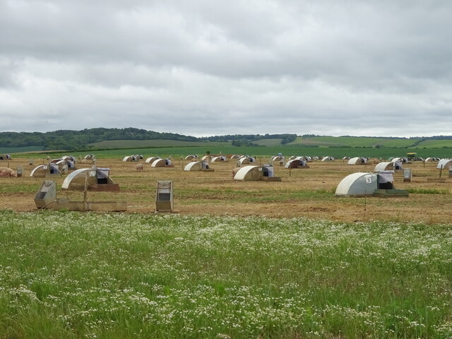
The economy of Brightwell Baldwin primarily relies on agriculture, with farming being the main source of income for many residents. The surrounding fertile land is used for arable farming and grazing livestock.

The village has limited amenities, with no shops or schools within its boundaries. However, it benefits from being in close proximity to the larger town of Wallingford, which provides access to a wider range of services, including schools, shops, and healthcare facilities.

Brightwell Baldwin is a popular destination for visitors seeking tranquility and natural beauty. The area offers numerous walking and cycling routes, allowing visitors to explore the stunning countryside and enjoy the peaceful surroundings. The village's idyllic setting and historic charm make it a desirable place to live for those seeking a rural lifestyle in Oxfordshire.

If you have any feedback on the listing, please let us know in the comments section below.

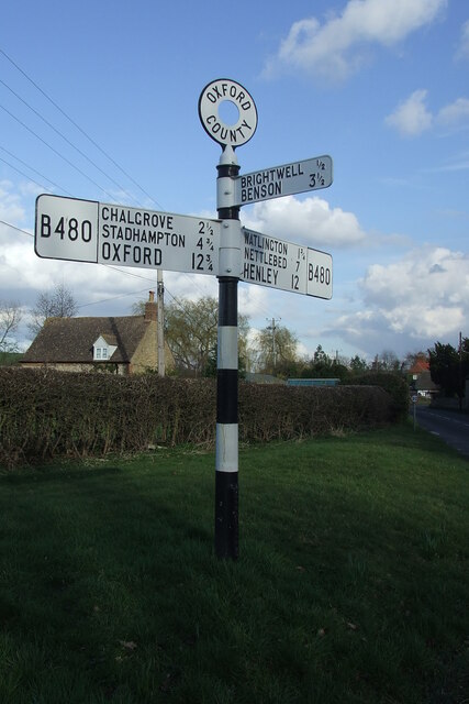
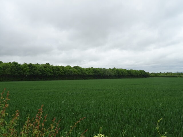
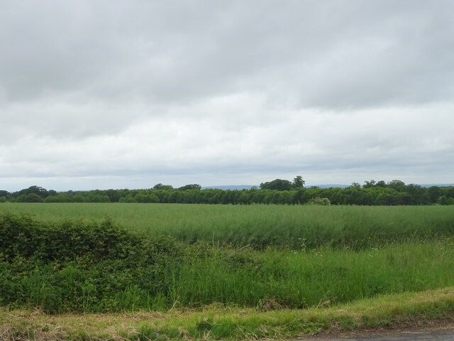
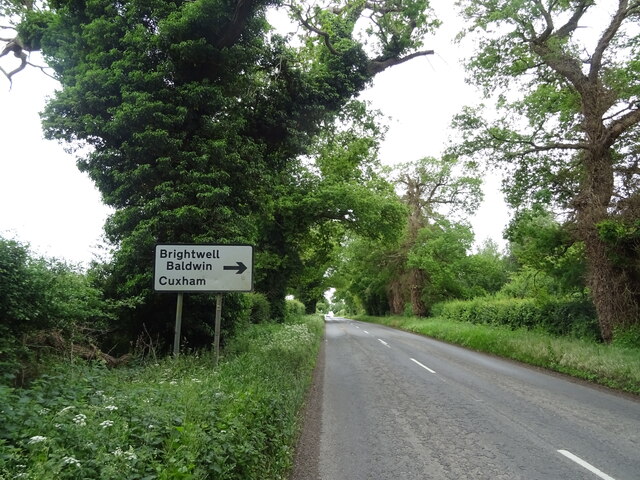
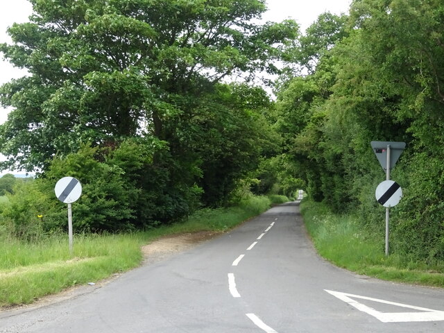
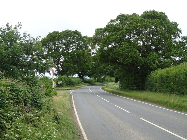
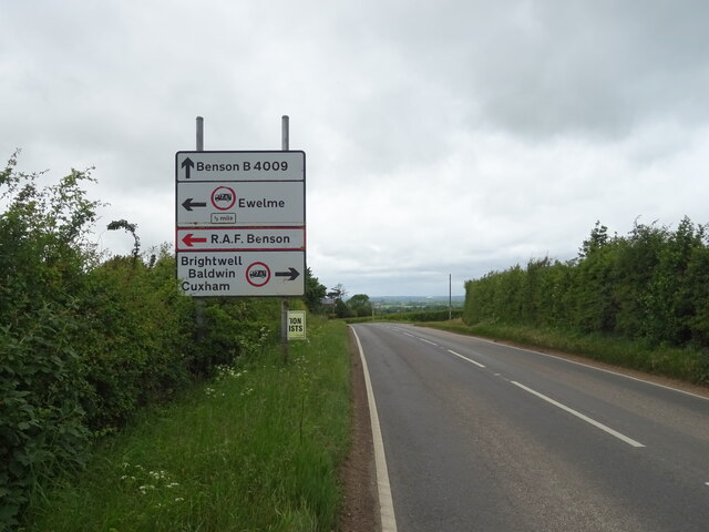
Brightwell Baldwin Images

Images are sourced within 2km of 51.643205/-1.058121 or Grid Reference SU6594. Thanks to Geograph Open Source API. All images are credited.

Direction Sign – Signpost on the B480 in Cuxham Located in Cuxham on the northeast side of a T junction on the B480, Cuxham with Easington parish. 3 arms and annulus finial. 

Milestone Society National ID: OX_SU6695
Direction Sign – Signpost on the B480 in Cuxham
Located in Cuxham on the northeast side of a T junction on the B480, Cuxham with Easington parish. 3 arms and annulus finial. Milestone Society National ID: OX_SU6695
Cereal crop and woodland off the B4009, Turner's Green
Oilseed rape crop off the B4009
B4009 towards Benson Approaching the turn off for Brightwell Baldwin.
B4009 towards Benson
Approaching the turn off for Brightwell Baldwin.
Minor road towards Brightwell Baldwin Off the B4009.
Minor road towards Brightwell Baldwin
Off the B4009.
Free range pig farming off Grove Lane
Bend and junction on Grove Lane (B4009) Towards Benson.
Bend and junction on Grove Lane (B4009)
Towards Benson.
Grassland off Grove Lane
Byway off Grove Lane Towards Ewelme.
Byway off Grove Lane
Towards Ewelme.
Approaching junction on Grove Lane (B4009) Towards Benson.
Approaching junction on Grove Lane (B4009)
Towards Benson.
Minor road towards Brightwell Baldwin
Farmland, Cuxham A footpath to the south-west of the village follows the edge of a field of maize.
Farmland, Cuxham
A footpath to the south-west of the village follows the edge of a field of maize.
Farmland, Brightwell Baldwin Fields of wheat beside the bridleway heading west towards Berrick Salome.
Farmland, Brightwell Baldwin
Fields of wheat beside the bridleway heading west towards Berrick Salome.
House and phone box in Cuxham This was making use of the lowest possible amount of available light.
House and phone box in Cuxham
This was making use of the lowest possible amount of available light.
Eyre's Lane out of Ewelme
Rural road to Cuxham The road passing Rumbold's Copse.
Rural road to Cuxham
The road passing Rumbold's Copse.
Rural road to Cuxham
Show me another place!

Brightwell Baldwin is located at Grid Ref: SU6594 (Lat: 51.643205, Lng: -1.058121)

Administrative County: Oxfordshire

District: South Oxfordshire

Police Authority: Thames Valley

What 3 Words

///workbook.careless.phantom. Near Chalgrove, Oxfordshire

Related Wikis

Brightwell Baldwin

Brightwell Baldwin is a village and civil parish in Oxfordshire, about 4+1⁄2 miles (7 km) northeast of Wallingford. It was historically in the Hundred...

Henley (UK Parliament constituency)

Henley is a constituency in Oxfordshire represented in the House of Commons of the UK Parliament since 2008 by John Howell, a Member of Parliament from...

South Oxfordshire

South Oxfordshire is a local government district in the ceremonial county of Oxfordshire, England. Its council is temporarily based outside the district...

Cuxham

Cuxham is a village and former civil parish, now in the parish of Cuxham with Easington, in the South Oxfordshire district, in the county of Oxfordshire...

Nearby Amenities

Located within 500m of 51.643205,-1.058121
Upperton Turn
Naptan AtcoCode: 340003041NOU
Naptan Bearing: NE
Naptan BusStopType: CUS
Naptan CommonName: Upperton Turn
Naptan Indicator: Northbound
Naptan Landmark: Turn
Naptan NaptanCode: oxfawdad
Naptan Street: Brightwell Road
Naptan Verified: no
Source: naptan_import
Lat/Long: 51.6447562/-1.0567839
Upperton Turn
Naptan AtcoCode: 340003041SOU
Naptan Bearing: SW
Naptan BusStopType: CUS
Naptan CommonName: Upperton Turn
Naptan Indicator: Southbound
Naptan Landmark: Turn
Naptan NaptanCode: oxfawawt
Naptan Street: Brightwell Road
Naptan Verified: no
Source: naptan_import
Lat/Long: 51.6446699/-1.056616
Power: pole
Source: Bing
Lat/Long: 51.6430321/-1.0615459
Power: pole
Source: Bing
Lat/Long: 51.6429905/-1.0597648
Power: pole
Source: Bing
Lat/Long: 51.642949/-1.0580562
Brightwell Upperton
Place: hamlet
Lat/Long: 51.6427359/-1.0541422
The data included in this document is from www.openstreetmap.org. The data is made available under ODbL.

Have you been to Brightwell Baldwin?

Leave your review of Brightwell Baldwin below (or comments, questions and feedback).