Bricklehampton
Civil Parish in Worcestershire Wychavon
England
Bricklehampton

Bricklehampton is a small civil parish located in the county of Worcestershire, England. Situated approximately 8 miles southeast of the city of Worcester, it covers an area of around 3 square miles. The parish is made up of a few scattered settlements, including the main village of Bricklehampton and several surrounding hamlets.
Bricklehampton is a rural area with a population of around 200 residents. The village itself is characterized by its picturesque countryside setting, surrounded by rolling hills and farmland. It has a tranquil and peaceful atmosphere, making it an ideal place for those seeking a quiet and idyllic lifestyle.
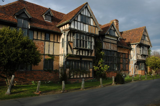
The village features a few notable landmarks, including the St. Michael and All Angels Church, a Grade II listed building dating back to the 12th century. The church is known for its beautiful architecture and stained glass windows.
Despite its small size, Bricklehampton is well-connected to nearby towns and cities. The A44 road runs to the north of the parish, providing easy access to Worcester and other surrounding areas. The nearest railway station is located in Pershore, approximately 4 miles away.
The local economy is primarily based on agriculture, with many residents involved in farming and related industries. There are also a few small businesses in the area, including a village shop and a pub, providing essential services and a sense of community.
Overall, Bricklehampton offers a peaceful and rural lifestyle, perfect for those seeking a close-knit community in a picturesque countryside setting.
If you have any feedback on the listing, please let us know in the comments section below.
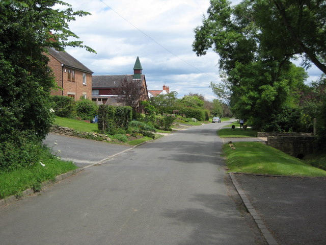
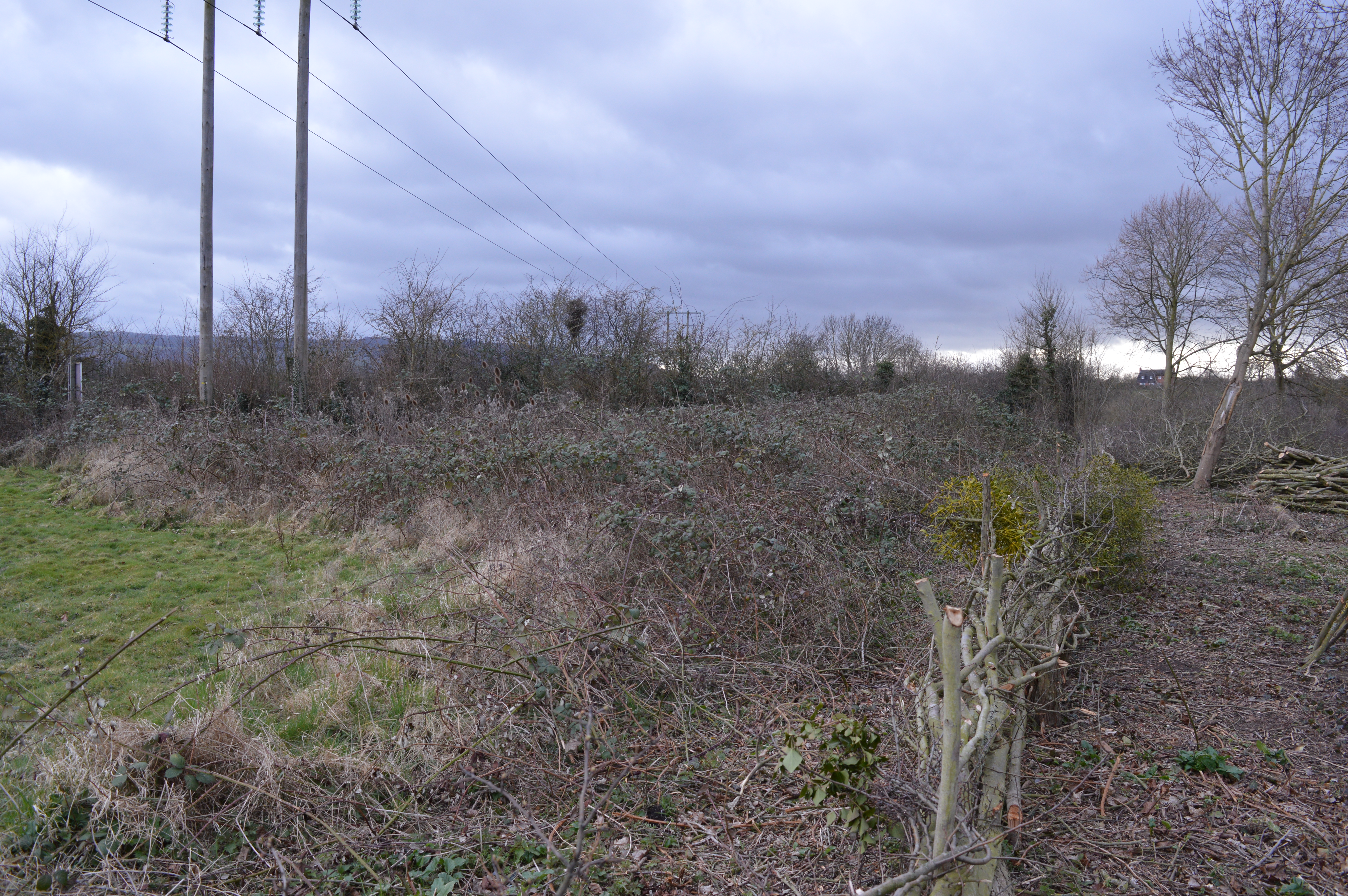
Bricklehampton Images
Images are sourced within 2km of 52.089061/-2.028969 or Grid Reference SO9843. Thanks to Geograph Open Source API. All images are credited.


Bricklehampton is located at Grid Ref: SO9843 (Lat: 52.089061, Lng: -2.028969)
Administrative County: Worcestershire
District: Wychavon
Police Authority: West Mercia
What 3 Words
///searching.expires.hides. Near Pershore, Worcestershire
Nearby Locations
Related Wikis
Bricklehampton
Bricklehampton is a village and civil parish in Worcestershire, England. In the 2021 census the population of the parish was recorded as 236. Its area...

Little Comberton
Little Comberton is a small village in Worcestershire, England. It is located 2.5 miles (4.0 km) to the southeast of Pershore. Little Comberton has a village...
Cropthorne New Inn Section
Cropthorne New Inn Section is a 0.12-hectare (0.30-acre) geological Site of Special Scientific Interest in Cropthorne in Worcestershire. It is a Geological...

Elmley Castle
Elmley Castle is a village and civil parish in Worcestershire, in England, United Kingdom. It is located on the north side of Bredon Hill 3 miles south...

Netherton, Worcestershire
Netherton is a hamlet with population of 50 living in 20 households. It is part of the civil parish of Elmley Castle, Bricklehampton & Netherton in...

Cropthorne
Cropthorne is a village and civil parish in Worcestershire, England within the Vale of Evesham, and on the North-west edge of the Cotswolds. It is approximately...
Wick, Worcestershire
Wick is a village in the district of Wychavon in the county of Worcestershire, England. It is located 2 miles from the town of Pershore in the Vale...

Great Comberton
Great Comberton is a village in Worcestershire, England, United Kingdom. == Location == Great Comberton village is located 3 kilometres or two-and-a-half...
Nearby Amenities
Located within 500m of 52.089061,-2.028969Have you been to Bricklehampton?
Leave your review of Bricklehampton below (or comments, questions and feedback).