Bressingham

Civil Parish in Norfolk South Norfolk

England

Bressingham

'The Doll' at Bressingham, 1969 Bought for the opening in 1966 of the Nursery Railway, it was over gauge for the ex-Welsh quarry track and an ex-quarry locomotive hastily procured in its stead. Some sources state that it was sold on in 1968, whether true or not it was still here in early 1969. It is now at the Leighton Buzzard Light Railway, renamed just 'Doll', for no obvious reason. An Andrew Barclay product of 1919, works number 1641.
'The Doll' at Bressingham, 1969 Credit: Robin Webster

Bressingham is a civil parish located in the county of Norfolk, England. It is situated about 15 miles south-west of the city of Norwich and covers an area of approximately 7 square miles. The parish is bordered by the villages of Fersfield, Roydon, and Blo' Norton.

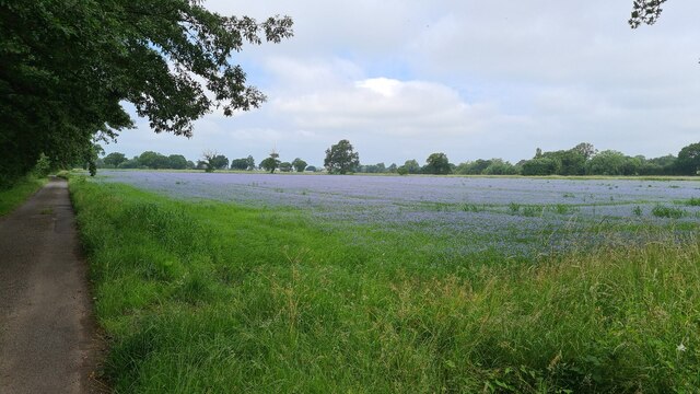
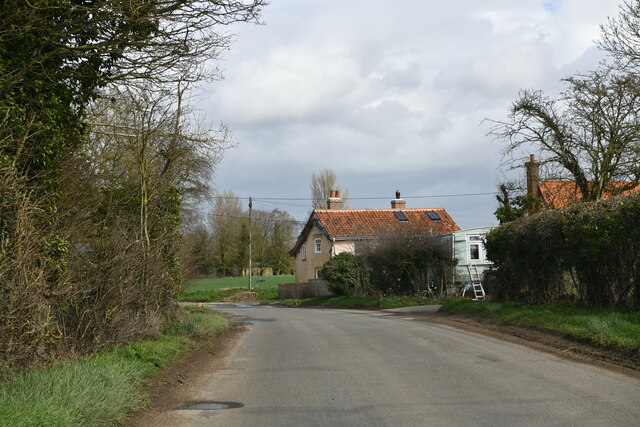
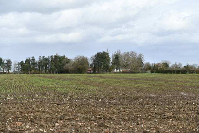
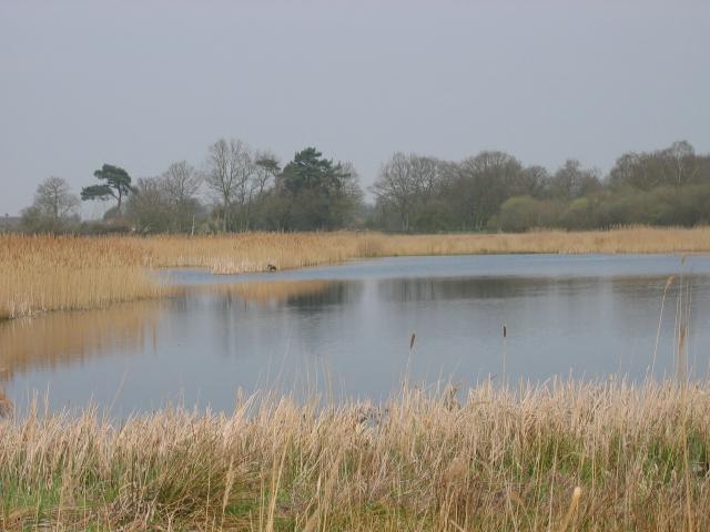
The village of Bressingham is known for its picturesque countryside and charming rural setting. It is home to a population of around 600 residents. The parish consists mainly of agricultural land, with fields and farmland dominating the landscape. The River Waveney also passes through the parish, adding to its natural beauty.

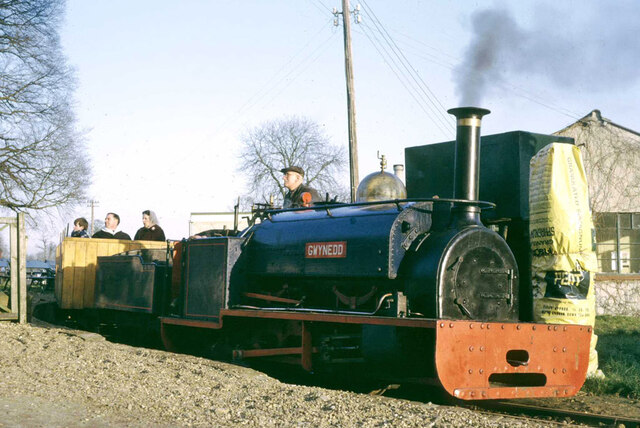
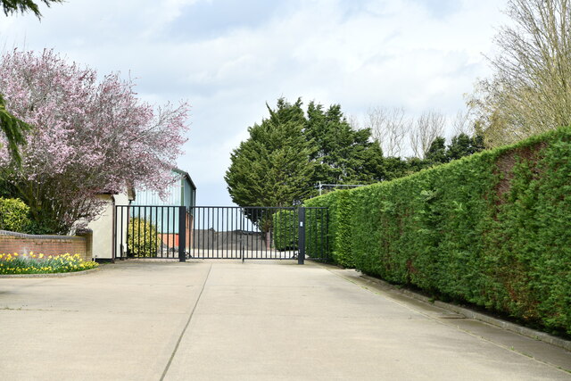
Bressingham is famous for being the location of Bressingham Steam and Gardens, a popular tourist attraction in the region. The attraction features a collection of steam locomotives and narrow-gauge railways, as well as stunning gardens that span over 17 acres. The gardens are well-known for their vibrant displays of flowers and plants, attracting visitors from near and far.

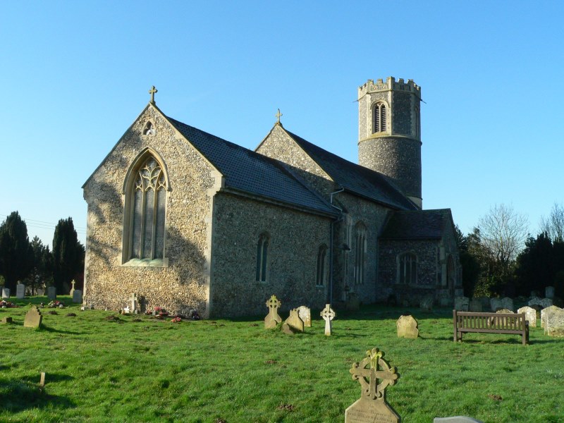
The village itself has a small but active community, with a local primary school, a village hall, and a parish church. The church, dedicated to St. John the Baptist, is a Grade I listed building and dates back to the 14th century. It is an architectural gem, showcasing medieval features and intricate woodwork.

Overall, Bressingham offers a serene and peaceful environment, with its beautiful countryside, thriving community, and renowned tourist attraction. It is a place that combines natural beauty with historical charm, making it an appealing destination for both locals and visitors alike.

If you have any feedback on the listing, please let us know in the comments section below.

Bressingham Images

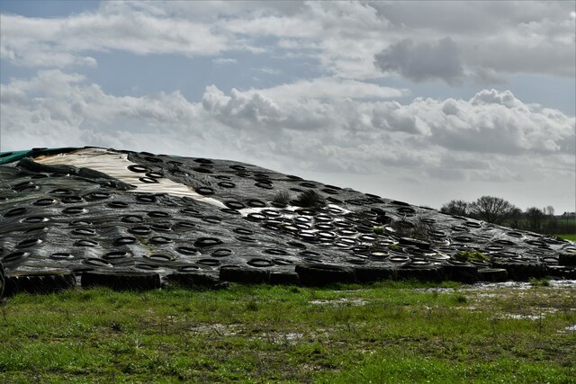
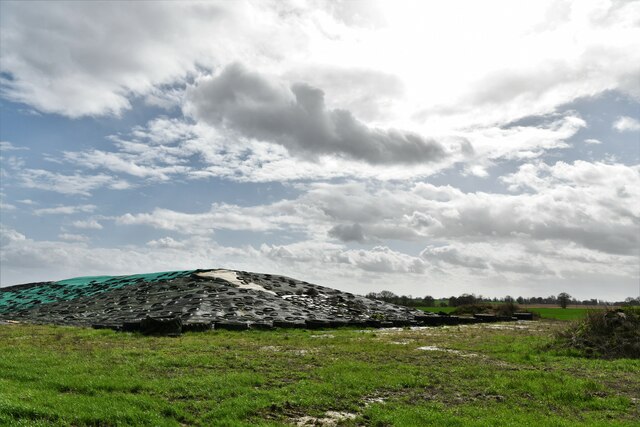
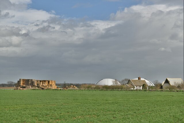
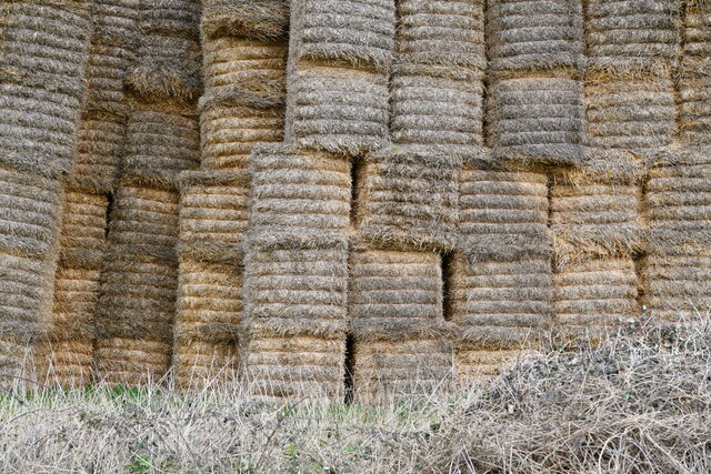
Images are sourced within 2km of 52.400841/1.049757 or Grid Reference TM0782. Thanks to Geograph Open Source API. All images are credited.

'The Doll' at Bressingham, 1969 Bought for the opening in 1966 of the Nursery Railway, it was over gauge for the ex-Welsh quarry track and an ex-quarry locomotive hastily procured in its stead. Some sources state that it was sold on in 1968, whether true or not it was still here in early 1969. It is now at the Leighton Buzzard Light Railway, renamed just 'Doll', for no obvious reason. An Andrew Barclay product of 1919, works number 1641.
'The Doll' at Bressingham, 1969
Bought for the opening in 1966 of the Nursery Railway, it was over gauge for the ex-Welsh quarry track and an ex-quarry locomotive hastily procured in its stead. Some sources state that it was sold on in 1968, whether true or not it was still here in early 1969. It is now at the Leighton Buzzard Light Railway, renamed just 'Doll', for no obvious reason. An Andrew Barclay product of 1919, works number 1641.
'Gwynedd' on the Nursery Railway, Bressingham, 1969 Locomotive and track from the Penrhyn quarries, a source for many of the narrow gauge locomotives to be seen on tourist and heritage lines nowadays. Hunslet works number 316 of 1883.
'Gwynedd' on the Nursery Railway, Bressingham, 1969
Locomotive and track from the Penrhyn quarries, a source for many of the narrow gauge locomotives to be seen on tourist and heritage lines nowadays. Hunslet works number 316 of 1883.
Beckton Gasworks no. 25 at Bressingham, 1969 Neilson & Co, works No 6087 of 1896. In steam on the short length of standard gauge track then built, although then it extended further north than it does now.
Beckton Gasworks no. 25 at Bressingham, 1969
Neilson & Co, works No 6087 of 1896. In steam on the short length of standard gauge track then built, although then it extended further north than it does now.
Rainbow Over Paddock Taken from a permissive pathway round a cultivated field, looking towards a paddock.
Rainbow Over Paddock
Taken from a permissive pathway round a cultivated field, looking towards a paddock.
Flax field A beautiful field of flax / linseed alongside Darrow Wood Lane. The lane denotes a boundary between Roydon and Bressingham parish councils.
Flax field
A beautiful field of flax / linseed alongside Darrow Wood Lane. The lane denotes a boundary between Roydon and Bressingham parish councils.
Lych Gate at St John the Baptist Church, Bressingham
St John the Baptist Church, Bressingham
Bressingham Gardens
Bressingham Gardens
Bressingham Trig Pillar Flush bracket S1952.
Bressingham Trig Pillar
Flush bracket S1952.
Postbox at Bressingham IP22 85. Royal Mail list this box as 'IP22 School Road Bressingham'.
Postbox at Bressingham
IP22 85. Royal Mail list this box as 'IP22 School Road Bressingham'.
Fersfield: Approaching Holly Cottage in The Street
Fersfield: A Crop beginning to show
Bressingham: A man-made covered mound surrounded by old tyres
Bressingham: Deal Farm
Bressingham, Deal Farm: A small part of a huge, uncovered hay storage area
Bressingham: Entrance to Villa Farm
Show me another place!

Bressingham is located at Grid Ref: TM0782 (Lat: 52.400841, Lng: 1.049757)

Administrative County: Norfolk

District: South Norfolk

Police Authority: Norfolk

What 3 Words

///quaking.blissful.pouch. Near Diss, Norfolk

Nearby Locations

Bressingham

Related Wikis

Boyland Common

Boyland Common is a place in the English county of Norfolk. It lies on the border of Fersfield and Shelfanger parishes. It consists of a few scattered...

Fersfield

Fersfield is a village and former civil parish, now in the parish of Bressingham, in the South Norfolk district, in the county of Norfolk, England. The...

Bressingham

Bressingham is a village and civil parish in the English county of Norfolk. It covers an area of 15.77 km2 (6.09 sq mi) and had a population of 751 in...

Bressingham Steam and Gardens

Bressingham Steam & Gardens is a steam museum and gardens located at Bressingham (adjacent to a garden centre), west of Diss in Norfolk, England. The site...

RAF Fersfield

Royal Air Force Fersfield or more simply RAF Fersfield (originally known as RAF Winfarthing) is a former Royal Air Force station located 16 miles (26 km...

Roydon, South Norfolk

Roydon is a small village, parish and electoral ward in the county of Norfolk, England, about a mile west of Diss. It covers an area of 5.54 km2 (2.14...

Redgrave and Lopham Fens

Redgrave and Lopham Fens is a 127 hectare biological Site of Special Scientific Interest between Thelnetham in Suffolk and Diss in Norfolk. It is a national...

Shelfanger Meadows

Shelfanger Meadows is a 10.3-hectare (25-acre) biological Site of Special Scientific Interest north of Diss in Norfolk.This site in the valley of a tributary...

Nearby Amenities

Located within 500m of 52.400841,1.049757
Power: pole
Source: Bing
Lat/Long: 52.3991065/1.0520267
Power: pole
Source: Bing
Lat/Long: 52.4001244/1.0504389
Power: pole
Source: Bing
Lat/Long: 52.3995975/1.0512864
Power: pole
Source: Bing
Lat/Long: 52.3985959/1.0528207
Power: pole
Source: Bing
Lat/Long: 52.4013387/1.0489583
Power: pole
Source: Bing
Lat/Long: 52.3980623/1.0536253
Power: pole
Source: Bing
Lat/Long: 52.4021437/1.0479388
Power: pole
Source: Bing
Lat/Long: 52.397581/1.0544083
Barrier: stile
Lat/Long: 52.3982352/1.0543955
Power: pole
Source: Bing
Lat/Long: 52.4029444/1.0468959
Barrier: stile
Lat/Long: 52.3982705/1.0538654
Power: pole
Source: Bing
Lat/Long: 52.4037336/1.0459864
Power: pole
Source: Bing
Lat/Long: 52.4039177/1.0451495
Power: pole
Source: Bing
Lat/Long: 52.4006677/1.0497361
Give Way
Lat/Long: 52.3997248/1.047753
Folly Farm
Place: farm
Source: OS 1:25k
Lat/Long: 52.398095/1.0548279
Barrier: stile
Bicycle: yes
Foot: yes
Material: wood
Stile: stepover
Lat/Long: 52.4048617/1.0486081
Give Way
Lat/Long: 52.3998164/1.0475951
The data included in this document is from www.openstreetmap.org. The data is made available under ODbL.

Have you been to Bressingham?

Leave your review of Bressingham below (or comments, questions and feedback).