Brixton
Settlement in Surrey
England
Brixton
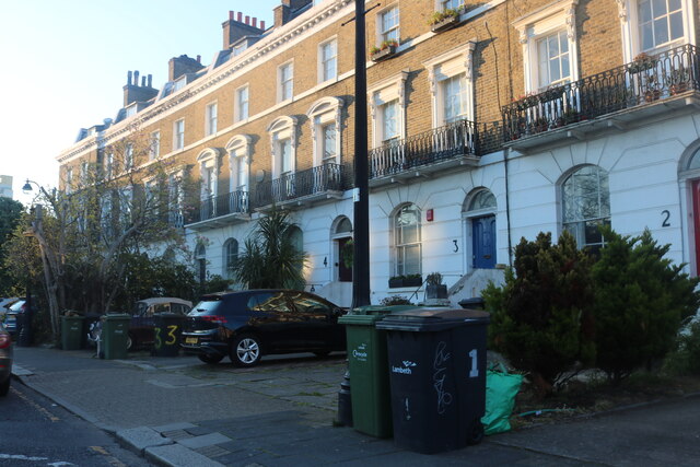
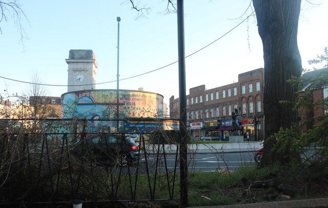
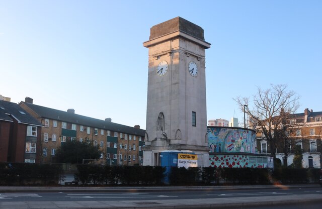
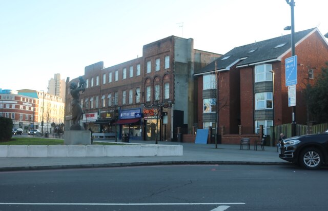
Brixton is a suburban area located in the county of Surrey, England. Situated approximately 11 miles south-southwest of Central London, it falls within the London Borough of Lambeth. Brixton is characterized by its diverse community and vibrant atmosphere, offering a blend of residential, commercial, and cultural amenities.
Historically, Brixton was a rural area, but it experienced significant growth and development during the 19th century with the expansion of London. Today, it is known for its bustling market, Brixton Village, which offers an array of international cuisines, independent shops, and a lively atmosphere. The market is a popular destination for locals and tourists alike, offering a diverse range of products and reflecting the multicultural nature of the area.
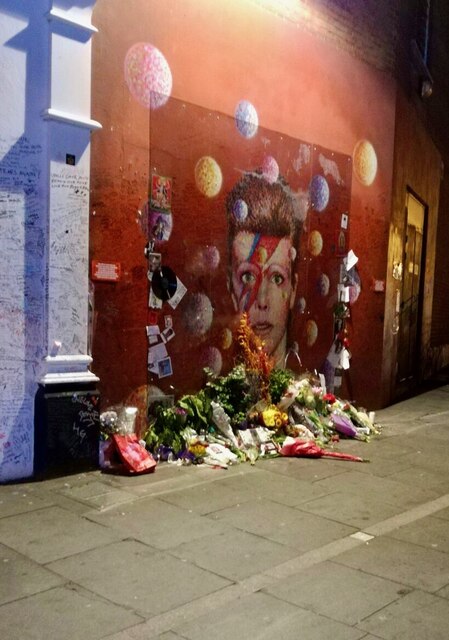
Brixton is also famous for its music scene and has been a hub for various genres, including reggae, ska, and punk. The neighborhood has produced notable musicians such as David Bowie and The Clash. The O2 Academy Brixton, a renowned music venue, attracts both established and emerging artists.
In terms of transportation, Brixton benefits from excellent connectivity. Brixton tube station provides access to the Victoria line, enabling easy and quick transportation to Central London. The area is also well-served by numerous bus routes.
Overall, Brixton is a vibrant and culturally diverse neighborhood, offering a unique blend of history, entertainment, and community spirit.
If you have any feedback on the listing, please let us know in the comments section below.
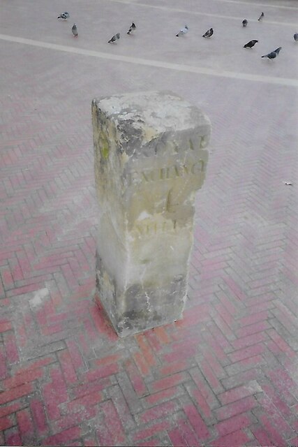
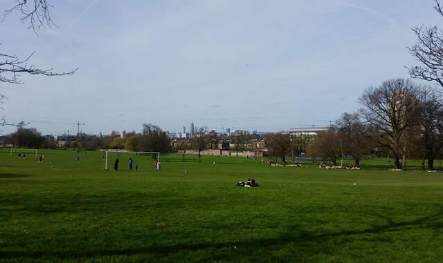
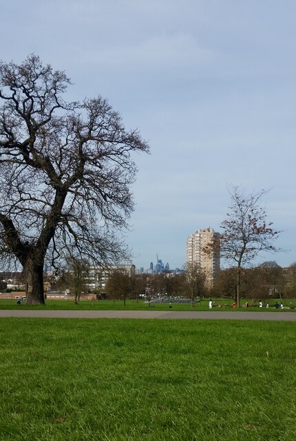
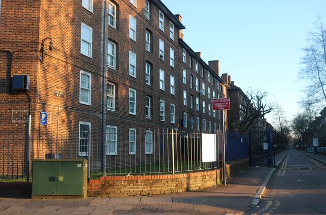
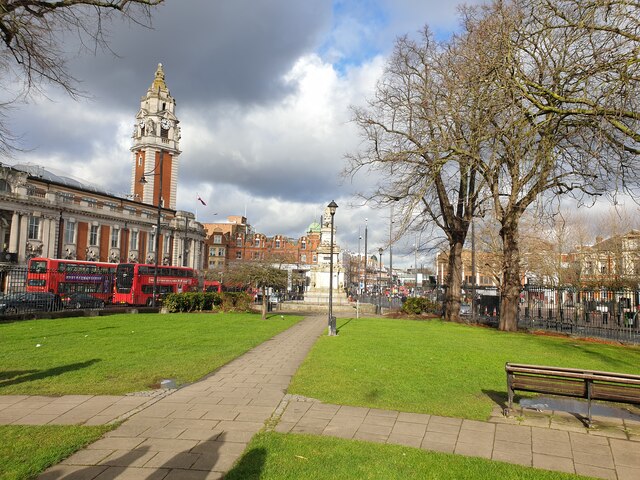
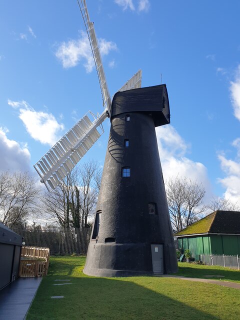
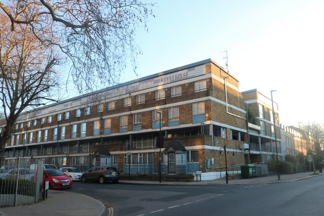
Brixton Images
Images are sourced within 2km of 51.461895/-0.114219 or Grid Reference TQ3175. Thanks to Geograph Open Source API. All images are credited.


Brixton is located at Grid Ref: TQ3175 (Lat: 51.461895, Lng: -0.114219)
Unitary Authority: Lambeth
Police Authority: Metropolitan
What 3 Words
///doing.places.just. Near Brixton, London
Nearby Locations
Related Wikis
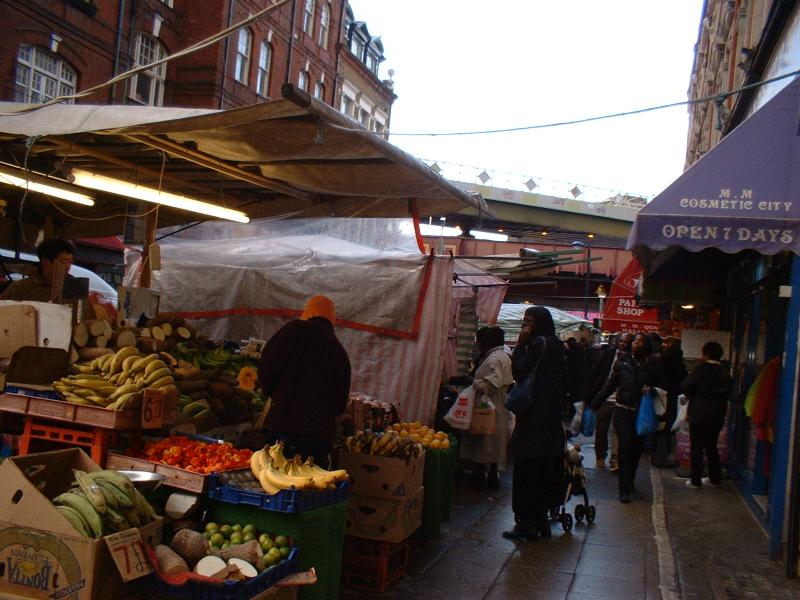
Brixton Market
Brixton Market comprises a street market in the centre of Brixton, south London, and the adjacent covered market areas in nearby arcades Reliance Arcade...

Electric Avenue
Electric Avenue is a street in Brixton, London. Built in the 1888, it was the first market street to be lit by electric lights, later, an iron and glass...

Ritzy Cinema
The Ritzy is a cinema in Brixton, London, England. It is a Grade II listed building. It is managed by Picturehouse Cinemas, who were bought by Cineworld...
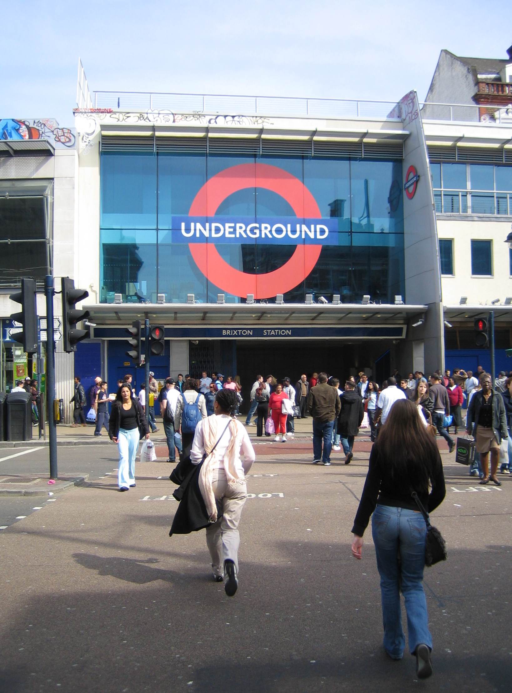
Brixton tube station
Brixton is a London Underground station on Brixton Road in Brixton in the London Borough of Lambeth, South London. The station is the southern terminus...
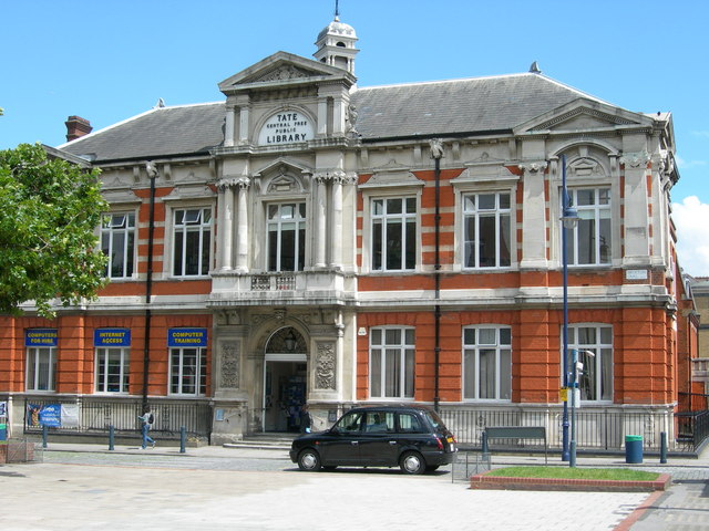
Brixton Library
The Brixton Library (also known as the Brixton Tate Library) is a public library in the London Borough of Lambeth in Brixton, South West London. It was...
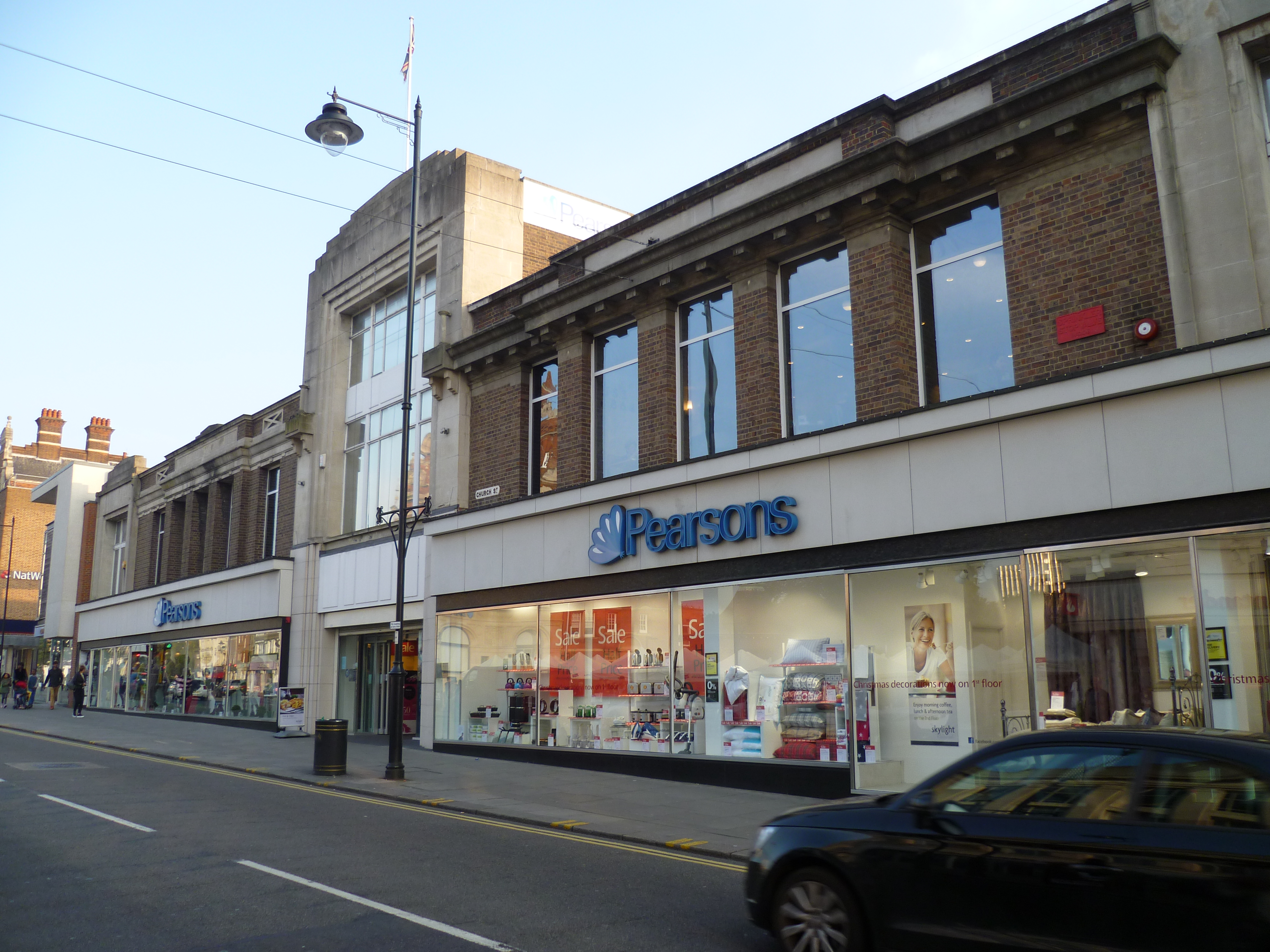
Morleys Stores
Morleys Stores is a group of eight department stores in Greater London, a business-to-business furniture supply subsidiary called Morley's of Bicester...
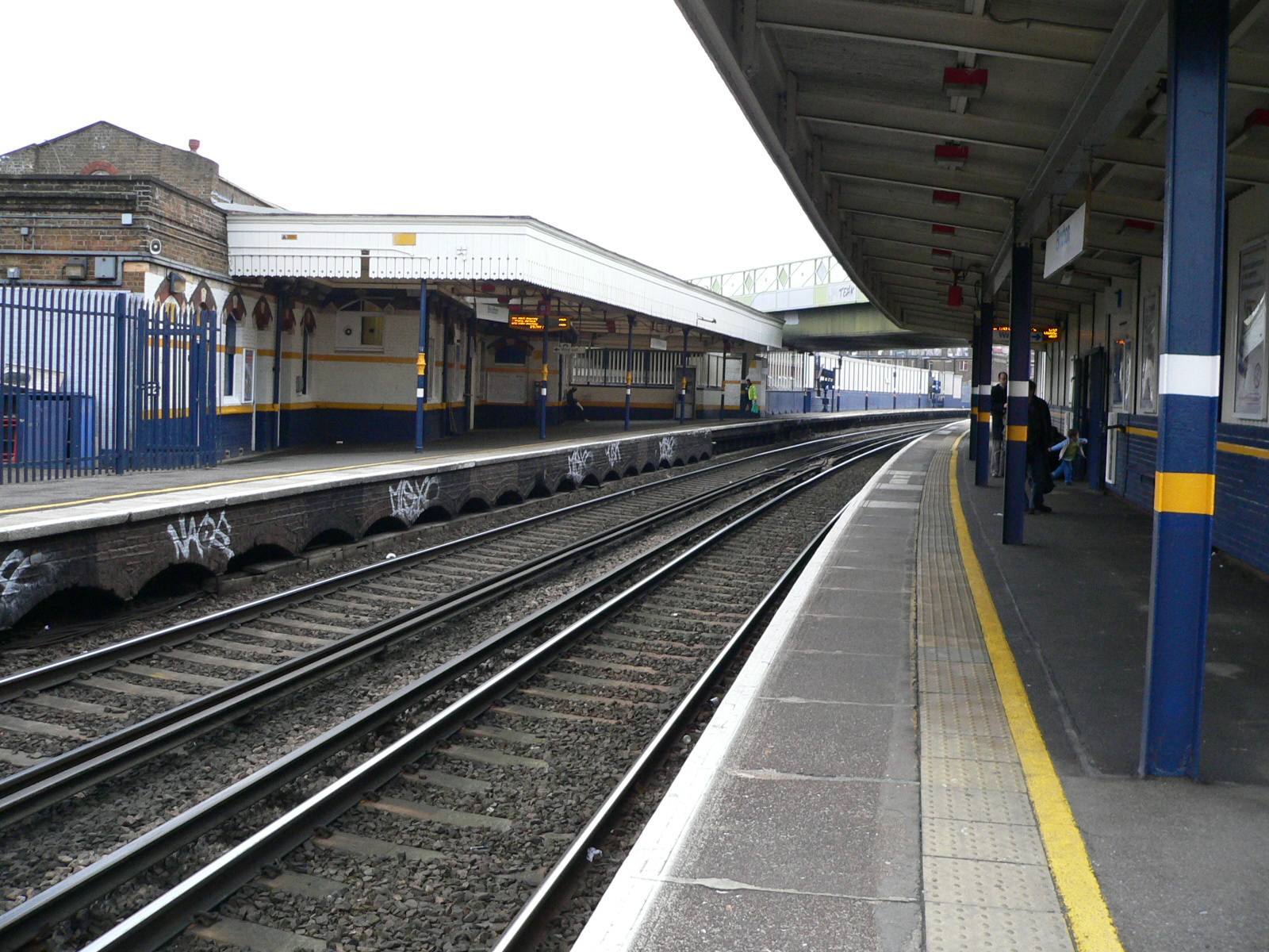
Brixton railway station
Brixton railway station is a commuter railway station in Brixton, South London, UK. It is on the Chatham Main Line, 3 miles 14 chains (5.1 km) down the...

Platforms Piece
Platforms Piece consists of three bronze sculptures of commuters at Brixton railway station, completed by the British artist Kevin Atherton in 1986 with...
Nearby Amenities
Located within 500m of 51.461895,-0.114219Have you been to Brixton?
Leave your review of Brixton below (or comments, questions and feedback).