Brancepeth
Civil Parish in Durham
England
Brancepeth

Brancepeth is a civil parish located in County Durham, England. Situated approximately 5 miles southwest of Durham city, Brancepeth is a small village with a population of around 500 residents.
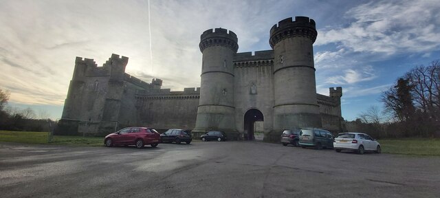
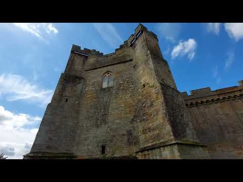
The village is well-known for its historic Brancepeth Castle, a medieval fortress that dates back to the 14th century. The castle, now privately owned, is surrounded by beautiful gardens and offers guided tours to visitors. Additionally, Brancepeth is home to St. Brandon's Church, a Grade I listed building that showcases impressive architecture and houses several notable tombs.
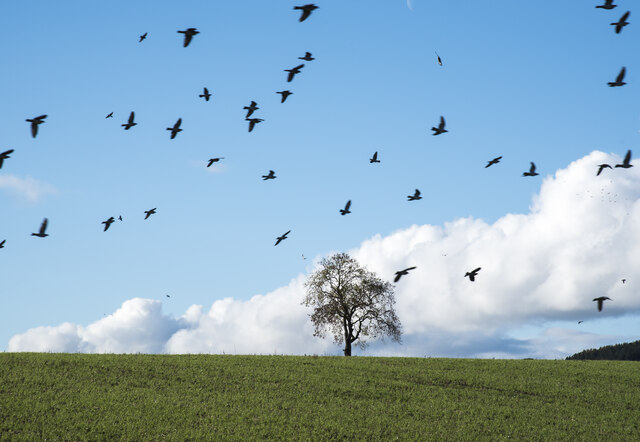
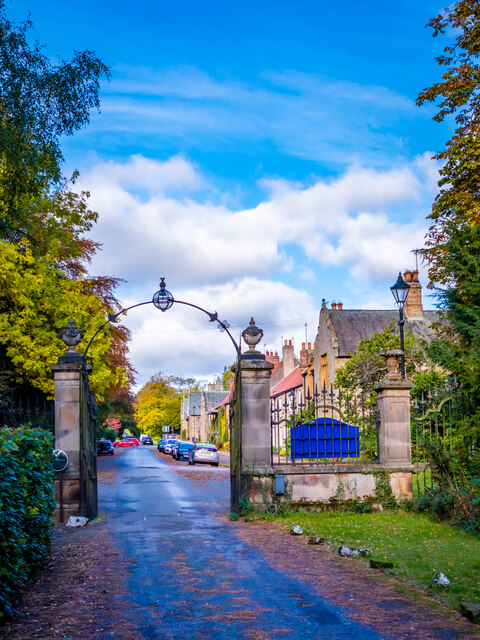
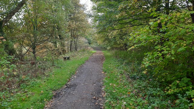
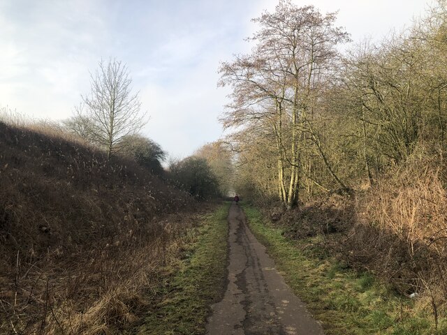
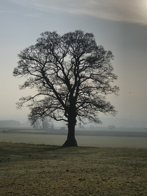
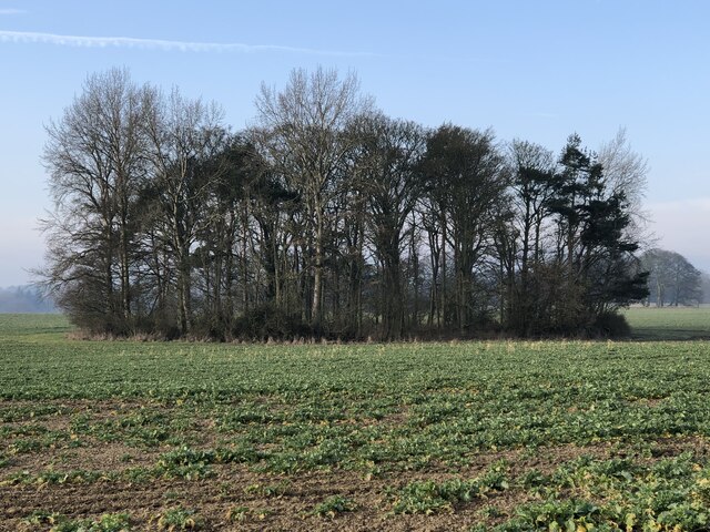
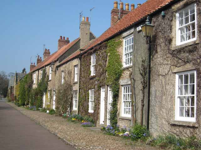
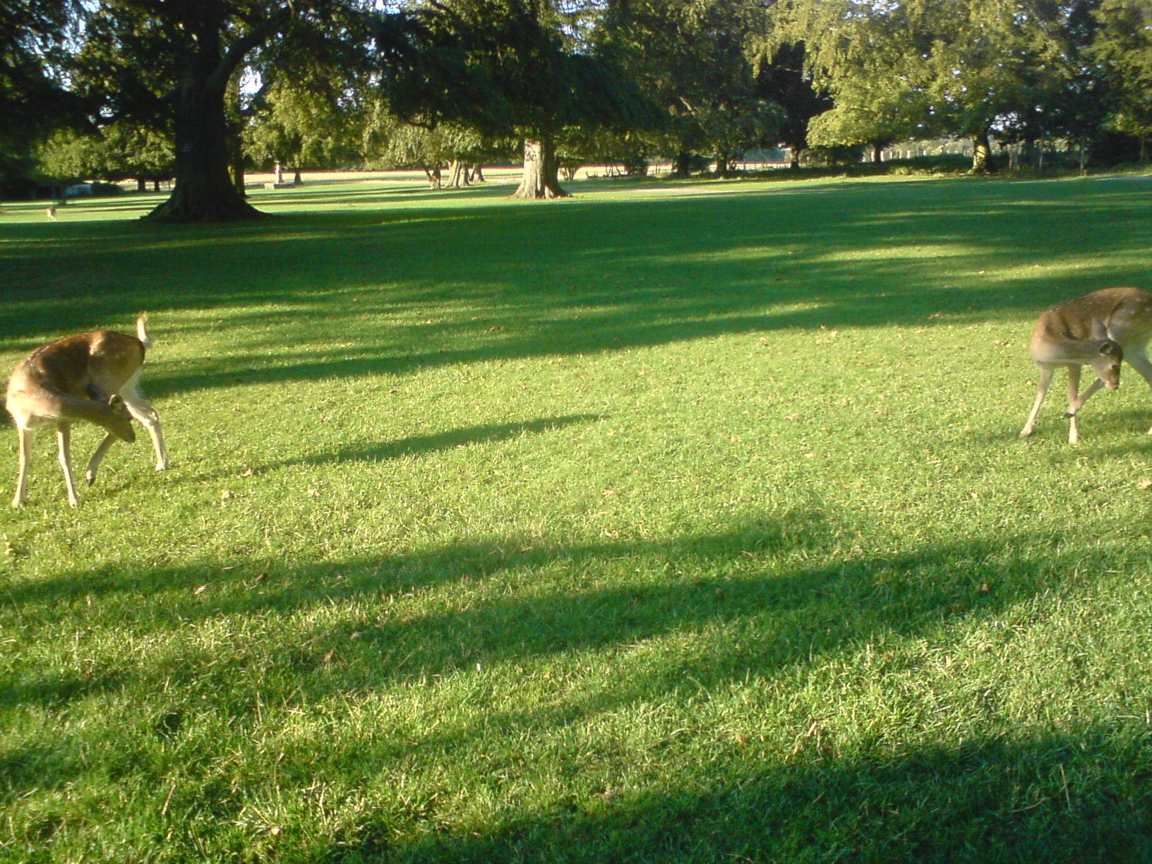
The village itself is characterized by its charming rural setting, with picturesque landscapes and a tranquil atmosphere. The surrounding countryside offers excellent opportunities for outdoor activities such as hiking, cycling, and bird-watching. The River Browney runs through the village, adding to the natural beauty of the area.
Brancepeth has a strong sense of community, with various local events and activities organized throughout the year, including a summer fair and a Christmas market. The village also boasts a primary school, providing education for local children.
Although small in size, Brancepeth is conveniently located near larger towns and cities. Durham, with its rich history and cultural attractions, is easily accessible by car or public transportation, offering residents the amenities of a larger urban area.
In summary, Brancepeth is a charming village in County Durham, known for its historic castle, beautiful countryside, and strong community spirit. It provides a peaceful and idyllic setting for residents and visitors alike.
If you have any feedback on the listing, please let us know in the comments section below.
Brancepeth Images
Images are sourced within 2km of 54.729022/-1.639155 or Grid Reference NZ2337. Thanks to Geograph Open Source API. All images are credited.


Brancepeth is located at Grid Ref: NZ2337 (Lat: 54.729022, Lng: -1.639155)
Unitary Authority: County Durham
Police Authority: Durham
What 3 Words
///even.options.thatched. Near Brandon, Co. Durham
Nearby Locations
Related Wikis

Brancepeth Castle
Brancepeth Castle is a castle in the village of Brancepeth in County Durham, England, some 5 miles south-west of the city of Durham (grid reference NZ223377...
Brancepeth
Brancepeth is a village and civil parish in County Durham, in England. It is situated about 8 km (5 mi) from Durham on the A690 road between Durham and...

Page Bank
Page Bank is a village in County Durham, in England. It is situated on the north bank of the River Wear to the east of Willington and to the north-west...
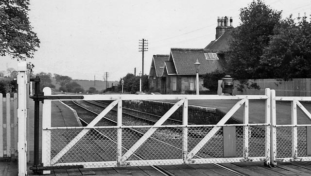
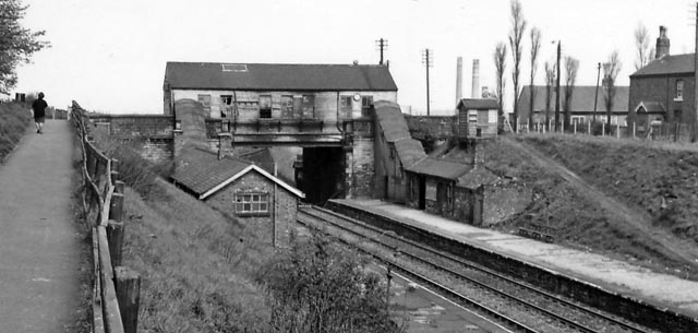
Brancepeth railway station
Brancepeth railway station served the village of Brancepeth, County Durham, North East England from 1857 to 1964 on the Durham to Bishop Auckland Line...
Brandon, County Durham
Brandon is a village in County Durham, England. It is situated a short distance to the southwest of Durham. Brandon was originally one of the seven townships...
Whitworth Hall Country Park
Whitworth Hall Country Park is a parkland based set in 73 acres (300,000 m2) 8 miles (13 km) from Durham in England, which rests on the outskirts of the...
Brandon Colliery railway station
Brandon Colliery railway station served the village of Brandon, County Durham, England from 1861 to 1964 on the Durham to Bishop Auckland Line. == History... ==
Browney
Browney is a village in County Durham, England. It is situated to the south-west of Durham and adjoins Meadowfield. It is part of the parish of Brandon...
Related Videos
County Durham Running and Walking Routes: Brancepeth 9 miles inc Weardale Way and Railway Lines
Hike from the 100 Walks in Count Durham book by Gary Richardson. Perfect for a sunny Sunday afternoon. The Weardale Way is ...

Brancepeth Castle, Durham County, England
While on a week's holiday in Durham we stayed in a self-catering flat in Brancepeth Castle.
Brancepeth Castle View.
quick look at the castle.

Brancepeth Castle drone flight. QHD.
Learning the DJI 3 Mini this time at a Castle to try the quickshots mode and edit on normal drone flight.
Have you been to Brancepeth?
Leave your review of Brancepeth below (or comments, questions and feedback).