Brancaster

Civil Parish in Norfolk King's Lynn and West Norfolk

England

Brancaster

Arable field on Deepdale Marsh The rest of this segment of reclaimed land is now grazing marsh.
Arable field on Deepdale Marsh Credit: Hugh Venables

Brancaster is a civil parish located in the county of Norfolk, England. It is situated on the North Norfolk coast, approximately 23 kilometers (14 miles) northwest of the town of King's Lynn. The parish covers an area of around 7 square kilometers (2.7 square miles) and is bordered by the villages of Burnham Deepdale, Brancaster Staithe, and Titchwell.

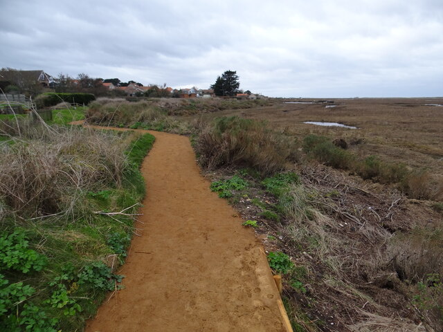
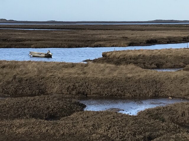
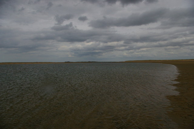
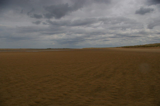
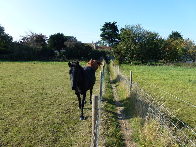
Brancaster is renowned for its beautiful sandy beach, which stretches for miles along the coastline. The beach is popular among locals and tourists alike for activities such as swimming, windsurfing, and beachcombing. Additionally, the area is a haven for birdwatchers due to its proximity to the RSPB Titchwell Marsh nature reserve.

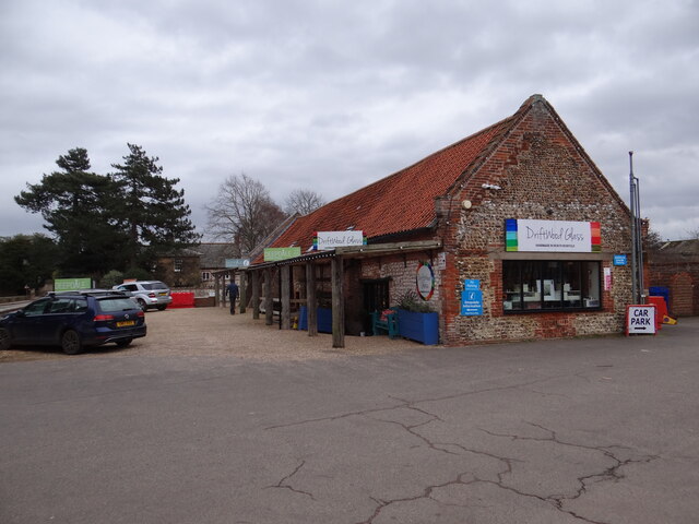
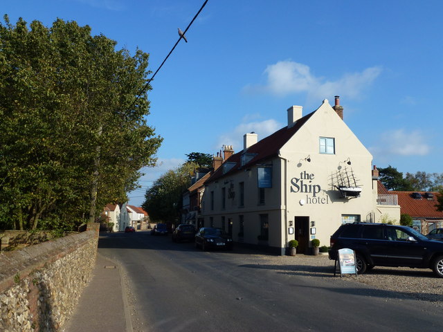
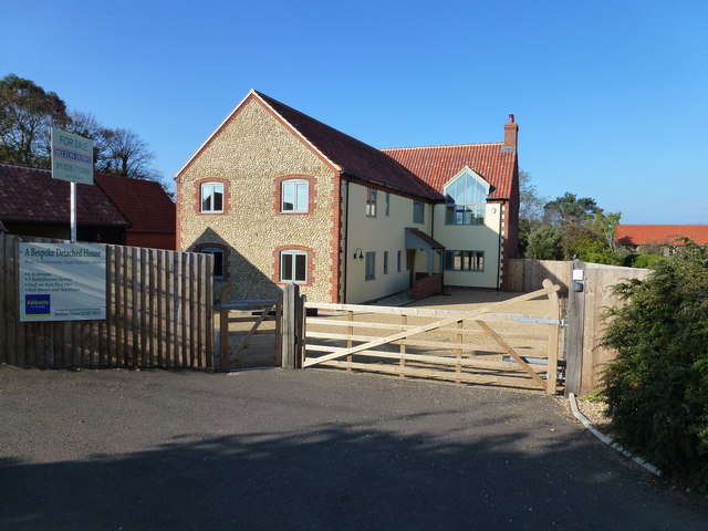
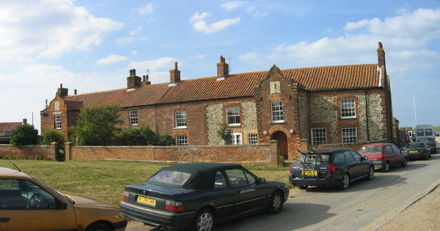
The village itself is small but charming, with a population of around 100 people. It features a mix of traditional cottages, modern houses, and a few local businesses. One of the notable landmarks in the area is the 16th-century Brancaster Windmill, a well-preserved windmill that is open to the public during certain times of the year.

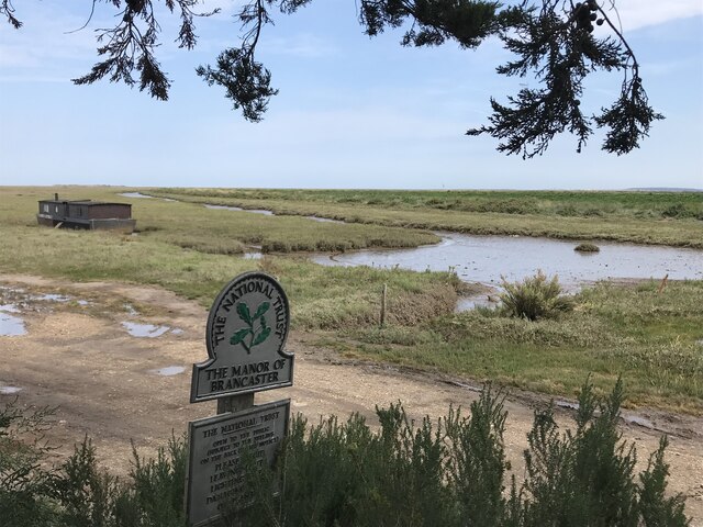
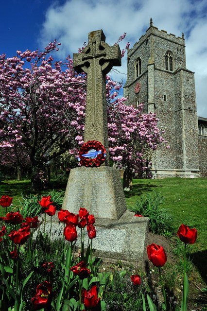
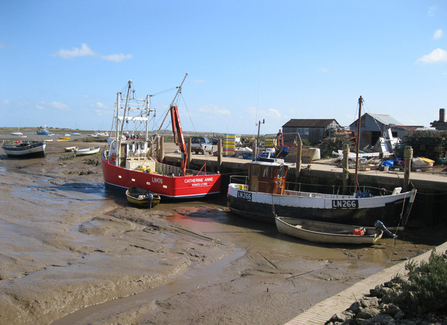
Brancaster has a rich history, with evidence of human settlement dating back to the Roman period. The area was once a flourishing port and trading center, and remnants of this past can still be seen today, including the remains of a Roman fort. The village has a close-knit community, and its residents take pride in preserving the natural beauty and heritage of the area.

Overall, Brancaster is a picturesque coastal village that offers a tranquil retreat for visitors seeking natural beauty and a glimpse into Norfolk's historical past.

If you have any feedback on the listing, please let us know in the comments section below.

Brancaster Images

Images are sourced within 2km of 52.962167/0.66327 or Grid Reference TF7843. Thanks to Geograph Open Source API. All images are credited.

Arable field on Deepdale Marsh The rest of this segment of reclaimed land is now grazing marsh.
Arable field on Deepdale Marsh
The rest of this segment of reclaimed land is now grazing marsh.
Deepdale Camping and Rooms Nice place to spend a reasonably priced self-catering weekend with close friends in dormitory accommodation in the roof space, or park your tent/van round the back.  Free parking included and a shop next door!
<span class="nowrap"><a title="https://www.deepdalebackpackers.co.uk" rel="nofollow ugc noopener" href="https://www.deepdalebackpackers.co.uk">Link</a><img style="margin-left:2px;" alt="External link" title="External link - shift click to open in new window" src="https://s1.geograph.org.uk/img/external.png" width="10" height="10"/></span>
Deepdale Camping and Rooms
Nice place to spend a reasonably priced self-catering weekend with close friends in dormitory accommodation in the roof space, or park your tent/van round the back. Free parking included and a shop next door! LinkExternal link
Pleasant path Just about the most perfect surface for a footpath. Clean, well-defined, flat, firm but not too soft nor too hard, no mud, no puddles, no dog poop, no litter!
Pleasant path
Just about the most perfect surface for a footpath. Clean, well-defined, flat, firm but not too soft nor too hard, no mud, no puddles, no dog poop, no litter!
St Mary's Burnham Deepdale Taken from outside Dalegate Market <span class="nowrap"><a title="https://www.dalegatemarket.co.uk/" rel="nofollow ugc noopener" href="https://www.dalegatemarket.co.uk/">Link</a><img style="margin-left:2px;" alt="External link" title="External link - shift click to open in new window" src="https://s1.geograph.org.uk/img/external.png" width="10" height="10"/></span> . The OS symbol for a church with a tower seems inappropriate in these parts, where round-towered churches, as here, are common. The tower at St Mary's is thought to be Norman <span class="nowrap"><a title="http://www.saxonshorebenefice.co.uk/burnhamd.htm" rel="nofollow ugc noopener" href="http://www.saxonshorebenefice.co.uk/burnhamd.htm">Link</a><img style="margin-left:2px;" alt="External link" title="External link - shift click to open in new window" src="https://s1.geograph.org.uk/img/external.png" width="10" height="10"/></span> .
St Mary's Burnham Deepdale
Taken from outside Dalegate Market LinkExternal link . The OS symbol for a church with a tower seems inappropriate in these parts, where round-towered churches, as here, are common. The tower at St Mary's is thought to be Norman LinkExternal link .
The Manor of Brancaster - National Trust
Saltmarsh and creeks, Brancaster Staithe A view from the car park of the White Horse
Saltmarsh and creeks, Brancaster Staithe
A view from the car park of the White Horse
Signpost in the garden of the White Horse, Brancaster Staithe The garden and car park abut the saltmarshes at this popular North Norfolk hostelry.
Signpost in the garden of the White Horse, Brancaster Staithe
The garden and car park abut the saltmarshes at this popular North Norfolk hostelry.
St Mary's church, Burnham Deepdale The church has an eleventh century tower but most of the external detailing of the body of the church dates to the nineteenth century <span class="nowrap"><a title="https://historicengland.org.uk/listing/the-list/list-entry/1237969?section=official-list-entry" rel="nofollow ugc noopener" href="https://historicengland.org.uk/listing/the-list/list-entry/1237969?section=official-list-entry">Link</a><img style="margin-left:2px;" alt="External link" title="External link - shift click to open in new window" src="https://s1.geograph.org.uk/img/external.png" width="10" height="10"/></span>
St Mary's church, Burnham Deepdale
The church has an eleventh century tower but most of the external detailing of the body of the church dates to the nineteenth century LinkExternal link
Brancaster across the marshes
Brancaster Beach looking east
Brancaster Beach The Royal West Norfolk Golf Club clubhouse in the distance.
Brancaster Beach
The Royal West Norfolk Golf Club clubhouse in the distance.
Brancaster Beach looking east
War Memorial, St Mary's Church, Brancaster
Brancaster Staithe Quay The quay was renovated in 2007 and is used regularly by fishing vessels.
Brancaster Staithe Quay
The quay was renovated in 2007 and is used regularly by fishing vessels.
Green Common Lane, Brancaster
The Ship Hotel, Brancaster
Yours for £1.5 million !!! Rather a nice property for sale, Cross Lane, Brancaster. Six bedrooms, 5 bathrooms and sea views don't come cheap.
Yours for £1.5 million !!!
Rather a nice property for sale, Cross Lane, Brancaster. Six bedrooms, 5 bathrooms and sea views don't come cheap.
Very narrow footpath in Brancaster Cutting a large grass paddock in two which is currently home to a couple of very friendly and inquisitive horses
Very narrow footpath in Brancaster
Cutting a large grass paddock in two which is currently home to a couple of very friendly and inquisitive horses
Show me another place!

Brancaster is located at Grid Ref: TF7843 (Lat: 52.962167, Lng: 0.66327)

Administrative County: Norfolk

District: King's Lynn and West Norfolk

Police Authority: Norfolk

What 3 Words

///backfired.plodded.juices. Near Hunstanton, Norfolk

Nearby Locations

Brancaster Brandvnvm

Related Wikis

Branodunum

Branodunum was an ancient Roman fort to the east of the modern English village of Brancaster in Norfolk. Its Roman name derives from the local Celtic language...

Brancaster Staithe

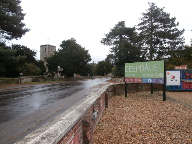
Brancaster Staithe is a village on the north coast of the English county of Norfolk. Brancaster Staithe merges with Burnham Deepdale, forming one village...

Brancaster

Brancaster is a village and civil parish on the north coast of the English county of Norfolk. The civil parish of Brancaster comprises Brancaster itself...

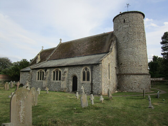
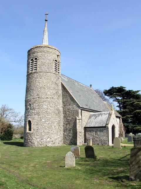
St Mary's Church, Burnham Deepdale

St Mary's Church is a round-tower church in Burnham Deepdale, Norfolk, England. Its round tower and some other parts of the building date from the 11th...

Royal West Norfolk Golf Club

Royal West Norfolk Golf Club is a golf club in Brancaster, Norfolk, England, about 7 miles (11 km) east of Hunstanton, between Brancaster Bay and the salt...

Titchwell

Titchwell is a village and civil parish in Norfolk, England. It is situated on the north Norfolk coast some 2 km (1.2 mi) west of the village of Brancaster...

Scolt Head Island

Scolt Head Island is an offshore barrier island between Brancaster and Wells-next-the-Sea in north Norfolk. It is in the parish of Burnham Norton and is...

Burnham Norton

Burnham Norton is a village and civil parish in the English county of Norfolk, one of the Burnhams, an adjacent group in the northernmost part of Norfolk...

Nearby Amenities

Located within 500m of 52.962167,0.66327
Parking
Lat/Long: 52.9653153/0.6620058
Phone
Colour: black and yellow
Emergency: phone
Operator: AA
Ref: 530
Source: GPS
Lat/Long: 52.965402/0.6622772
Post Box
Operator: Royal Mail
Operator Wikidata: Q638098
Post Box Mounting: pier
Post Box Type: lamp
Ref: PE31 133
Royal Cypher: EIIR
Royal Cypher Wikidata: Q33102113
Lat/Long: 52.9657157/0.6662871
Brancaster Staithe
Inscription: WI / Presented By Blofield Heath W.I. / September 1999
Man Made: village_sign
Material: wood
Lat/Long: 52.9659977/0.6667992
Bench
Backrest: yes
Colour: brown
Inscription: Abbie / 1997 – 2009 / Much Missed
Material: plastic
Lat/Long: 52.9664406/0.6635671
Give Way
Direction: backward
Lat/Long: 52.9659234/0.6669529
Crossing
Crossing: unmarked
Tactile Paving: yes
Lat/Long: 52.965578/0.6656575
Give Way
Lat/Long: 52.9649438/0.665954
Give Way
Direction: backward
Lat/Long: 52.9655881/0.6656522
The data included in this document is from www.openstreetmap.org. The data is made available under ODbL.

Have you been to Brancaster?

Leave your review of Brancaster below (or comments, questions and feedback).