Bramber
Civil Parish in Sussex Horsham
England
Bramber

Bramber is a civil parish located in the county of Sussex, England. Situated approximately 10 miles northwest of the coastal city of Brighton and Hove, Bramber is a small village that exudes charm and history.
The village is best known for its historical significance, as it was once a thriving medieval market town. Bramber Castle, a Norman motte-and-bailey fortress, stands proudly in the village and attracts visitors from far and wide. The castle was built by William de Braose in the 11th century and played a crucial role in protecting the Norman conquest during the medieval period.
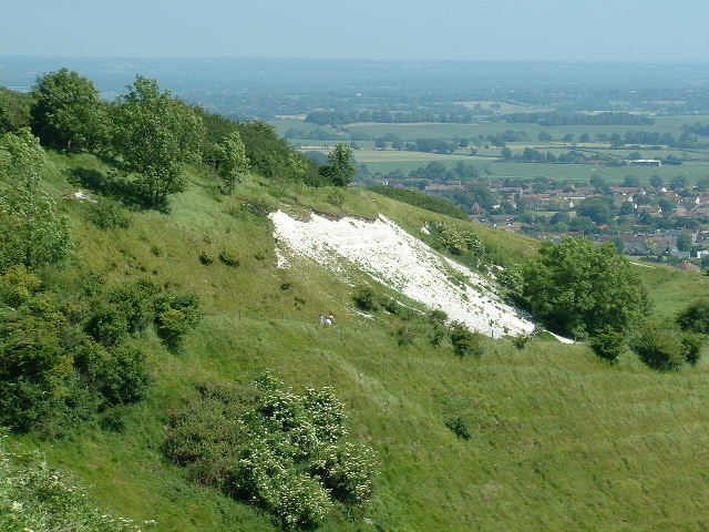
In addition to its historical landmarks, Bramber is blessed with picturesque natural surroundings. The village is nestled in the South Downs National Park, offering breathtaking views of the rolling hills and scenic landscapes. The River Adur flows through Bramber, further enhancing the village's beauty.
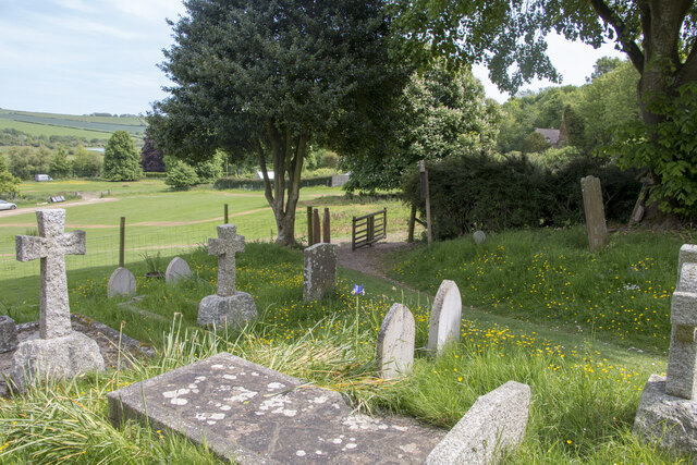
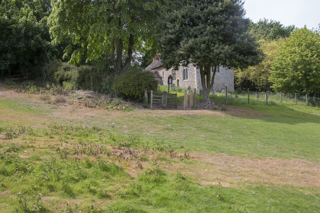
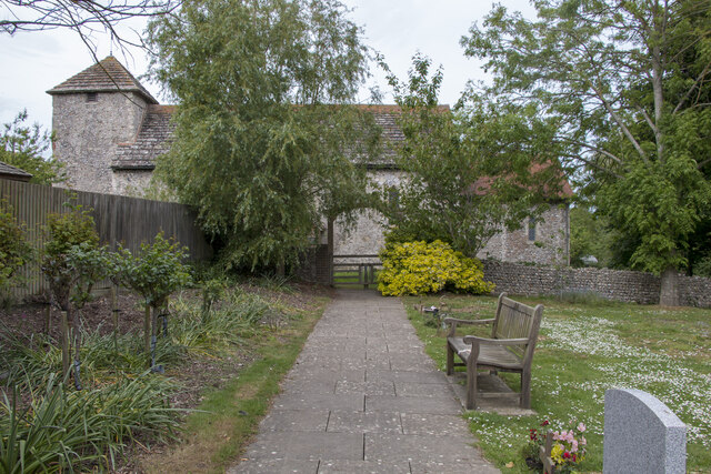
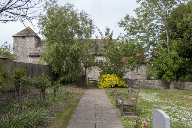
Despite its small size, Bramber boasts a thriving community, with a range of amenities to cater to residents and visitors alike. The village has a primary school, a church, a village hall, and a few local shops and pubs. The annual Bramber Village Day is a highlight for locals, featuring various activities and events that bring the community together.
Overall, Bramber is a charming civil parish that seamlessly blends its rich history with natural beauty. It provides a tranquil escape for those seeking a peaceful retreat while offering a glimpse into England's past.
If you have any feedback on the listing, please let us know in the comments section below.
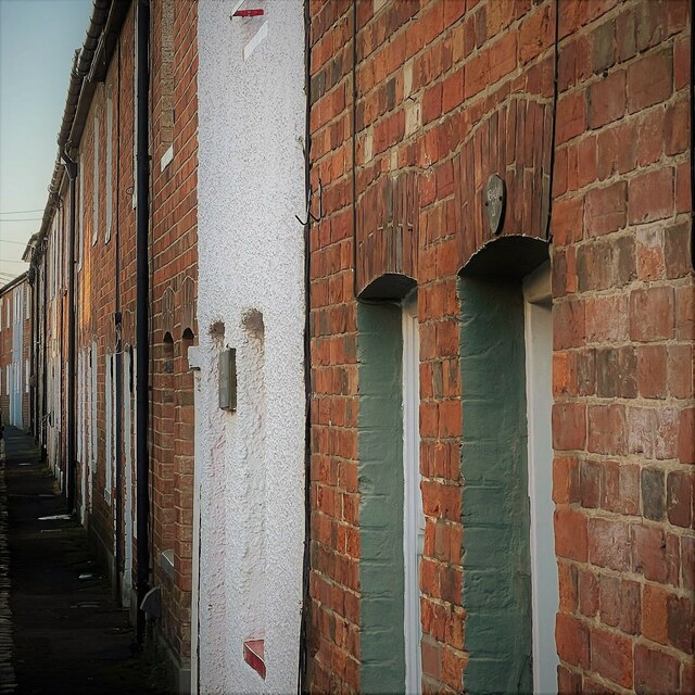
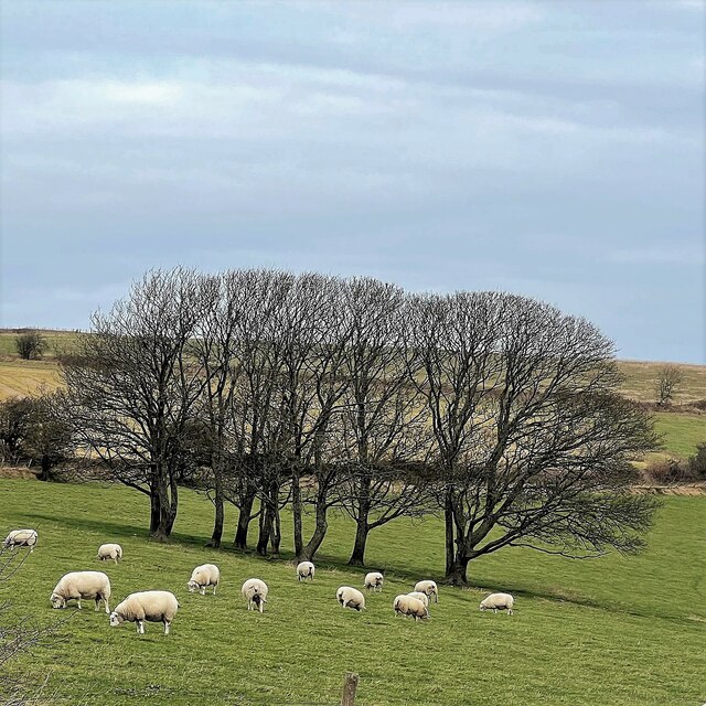
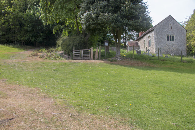
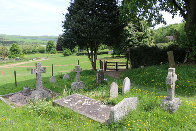
Bramber Images
Images are sourced within 2km of 50.872146/-0.32894 or Grid Reference TQ1709. Thanks to Geograph Open Source API. All images are credited.


Bramber is located at Grid Ref: TQ1709 (Lat: 50.872146, Lng: -0.32894)
Administrative County: West Sussex
District: Horsham
Police Authority: Sussex
What 3 Words
///saturate.workers.durations. Near Steyning, West Sussex
Nearby Locations
Related Wikis

Bramber railway station
Bramber was a railway station in England on the Steyning Line which served the village of Bramber. The station was patronised by tourists visiting nearby...

Bramber
Bramber is a former manor, village and civil parish in the Horsham District of West Sussex, England. It has a ruined mediaeval castle which was the caput...
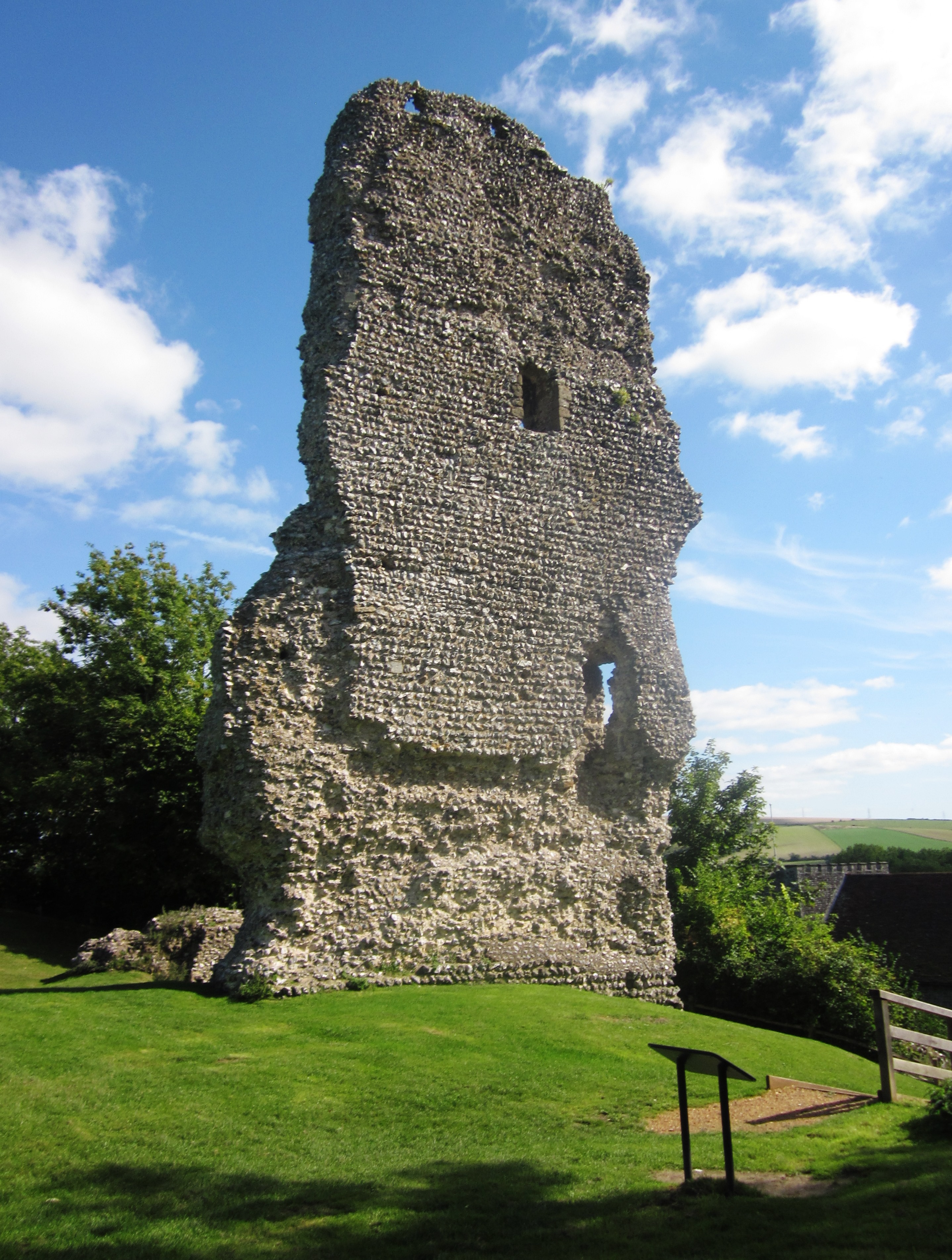
Bramber Castle
Bramber Castle is a Norman motte-and-bailey castle formerly the caput of the large feudal barony of Bramber long held by the Braose family. It is situated...

Botolphs
Botolphs, formerly known as Annington, is a tiny village and former civil parish, now in the parish of Bramber, in the Horsham District of West Sussex...

Steyning
Steyning ( STEN-ing) is a town and civil parish in the Horsham district of West Sussex, England. It is located at the north end of the River Adur gap in...
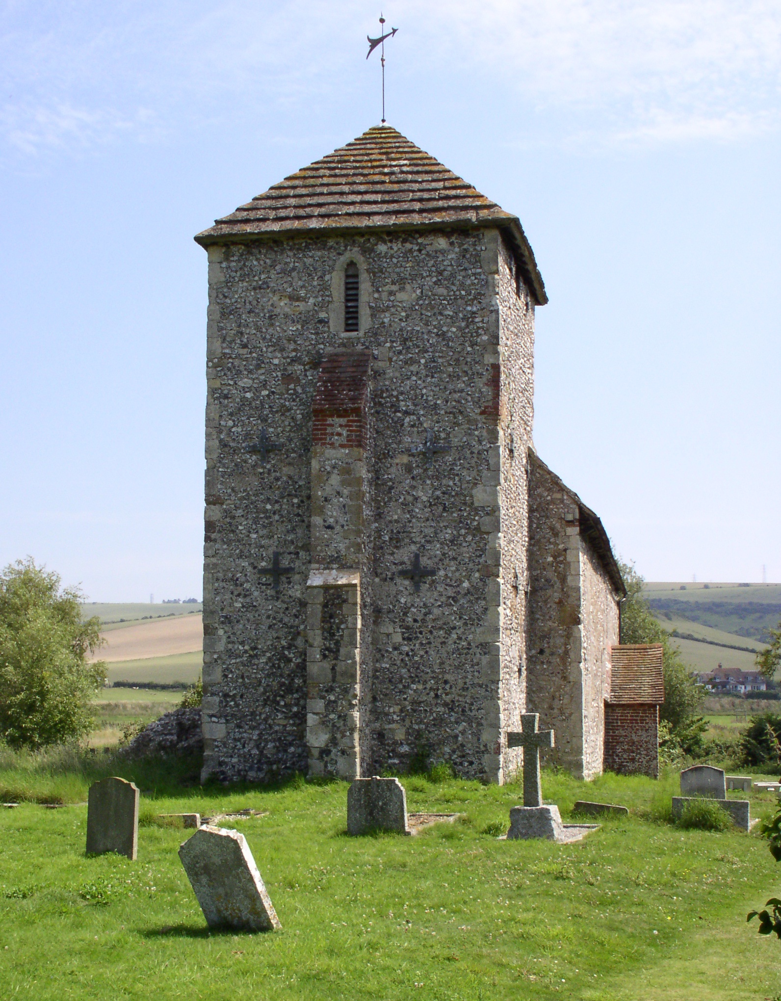
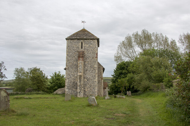
St Botolph's Church, Botolphs
The Grade I listed Saxon church of St Botolph's at Botolphs, West Sussex, England, is situated in the valley of the River Adur and is now part of the Church...
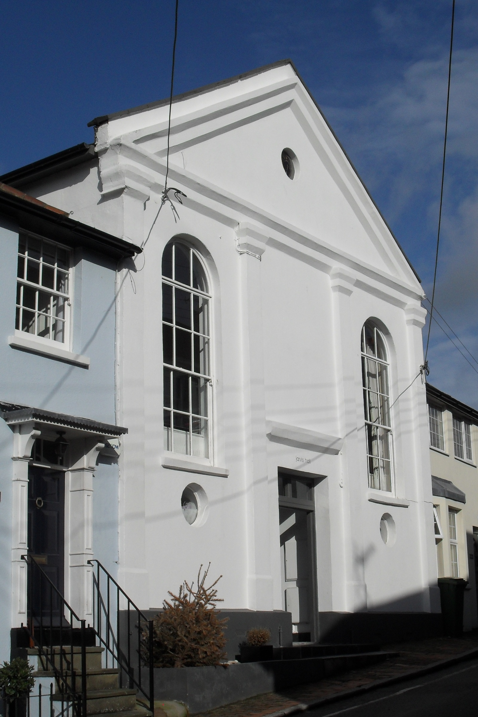
Jarvis Hall, Steyning
Jarvis Hall is a former Nonconformist chapel in the village of Steyning, in the Horsham district of the English county of West Sussex. Since its construction...
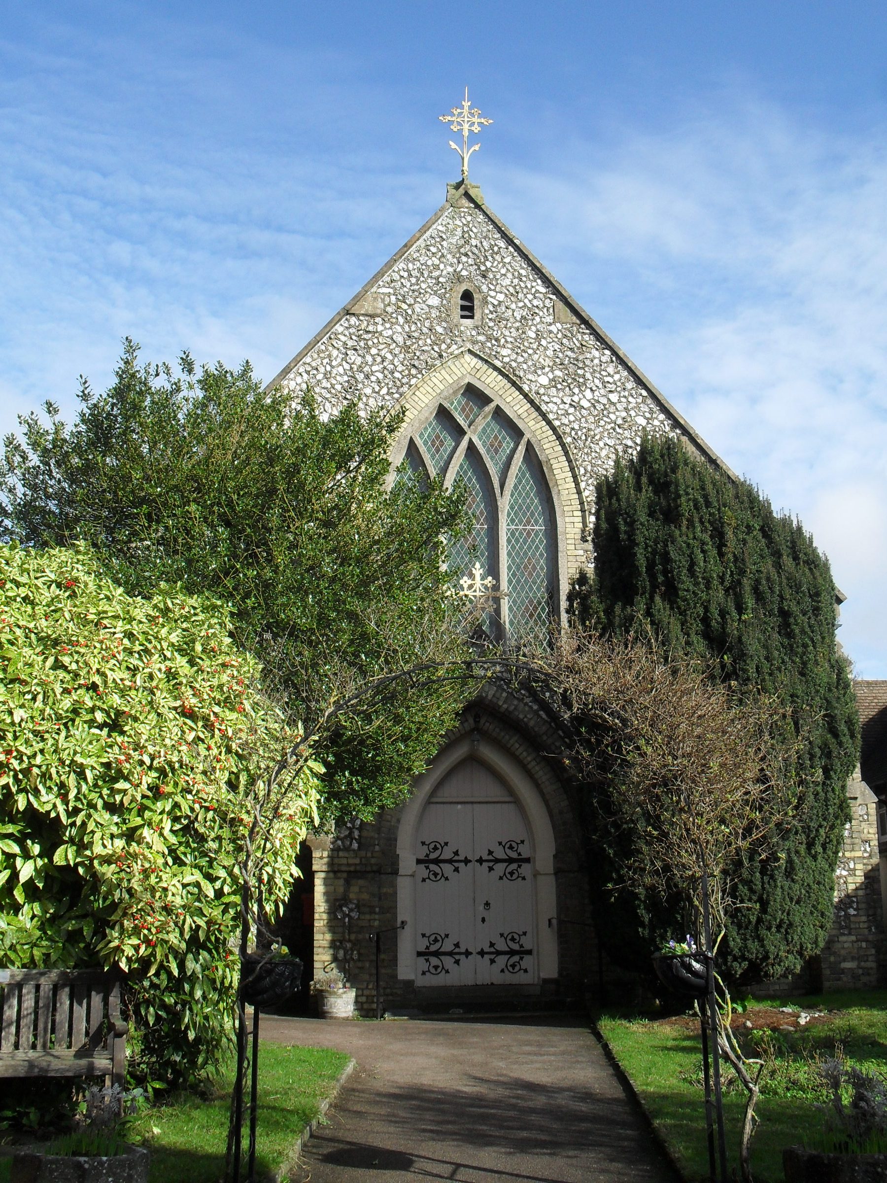
Steyning Methodist Church
Steyning Methodist Church is a Methodist place of worship serving Steyning and surrounding villages in the Horsham district of West Sussex, England. Built...
Nearby Amenities
Located within 500m of 50.872146,-0.32894Have you been to Bramber?
Leave your review of Bramber below (or comments, questions and feedback).