Braithwell
Civil Parish in Yorkshire Doncaster
England
Braithwell

Braithwell is a civil parish located in the county of Yorkshire, England. Situated approximately 11 miles southeast of Doncaster, it is a small village that is part of the Metropolitan Borough of Doncaster. The parish covers an area of about 2.5 square miles.
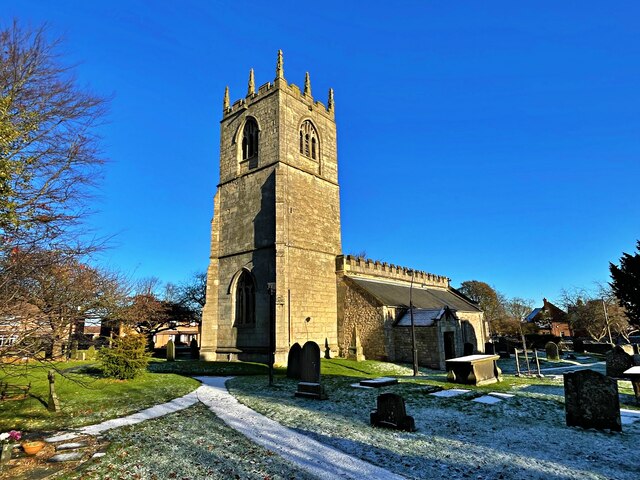
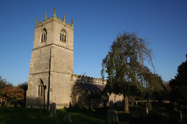
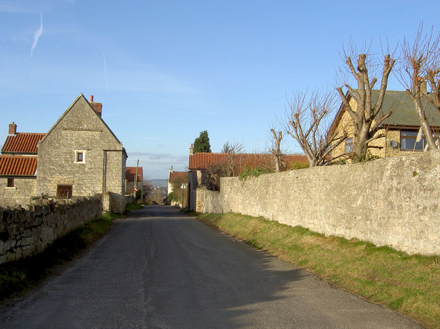
Braithwell has a rich history dating back to medieval times, as evidenced by the 12th-century St. James Church that still stands in the village. The church is known for its impressive tower, which offers panoramic views of the surrounding countryside. The village itself consists of a cluster of traditional stone-built houses and cottages, giving it a charming and picturesque atmosphere.
The economy of Braithwell is largely agrarian, with farming being the main occupation for many residents. The fertile land surrounding the village is used for growing crops such as wheat, barley, and potatoes. Additionally, there are a few small businesses and shops that cater to the local community's needs.
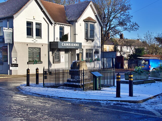
Despite its small size, Braithwell has a strong sense of community and offers a range of amenities. These include a village hall, a primary school, and a pub that serves as a social hub for residents. The village also benefits from its proximity to larger towns and cities, with easy access to major transportation routes.
Overall, Braithwell is a peaceful and tight-knit community that offers a rural lifestyle and a strong connection to its historical roots.
If you have any feedback on the listing, please let us know in the comments section below.
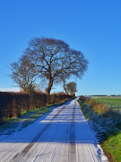
Braithwell Images
Images are sourced within 2km of 53.444162/-1.211841 or Grid Reference SK5294. Thanks to Geograph Open Source API. All images are credited.


Braithwell is located at Grid Ref: SK5294 (Lat: 53.444162, Lng: -1.211841)
Division: West Riding
Administrative County: South Yorkshire
District: Doncaster
Police Authority: South Yorkshire
What 3 Words
///livid.wrong.padlock. Near Hellaby, South Yorkshire
Nearby Locations
Related Wikis
Braithwell
Braithwell is a village and civil parish in the Metropolitan Borough of Doncaster in South Yorkshire, England. It is about 1 mile (1.6 km) north from Maltby...

Micklebring
Micklebring is a small village in the civil parish of Braithwell, South Yorkshire, to the south-west of Doncaster. Coronation Street star Bill Waddington...

Maltby, South Yorkshire
Maltby is a former mining town and civil parish in the Metropolitan Borough of Rotherham, South Yorkshire, England. It was historically in the West Riding...
Clifton, Doncaster
Clifton is a small village to the south-west of Doncaster, within the boundary of the civil parish of Conisbrough Parks, which had a population of 385...
Maltby Academy
Maltby Academy is an academy school in the former mining town of Maltby in South Yorkshire, England. == Admissions == The school has a sixth form. The...

Conisbrough Parks
Conisbrough Parks is a civil parish in the Metropolitan Borough of Doncaster and ceremonial county of South Yorkshire in England. It had a population...

Stainton, South Yorkshire
Stainton is a village and civil parish in the Metropolitan Borough of Doncaster in South Yorkshire, England. The parish has a population of 269, increasing...
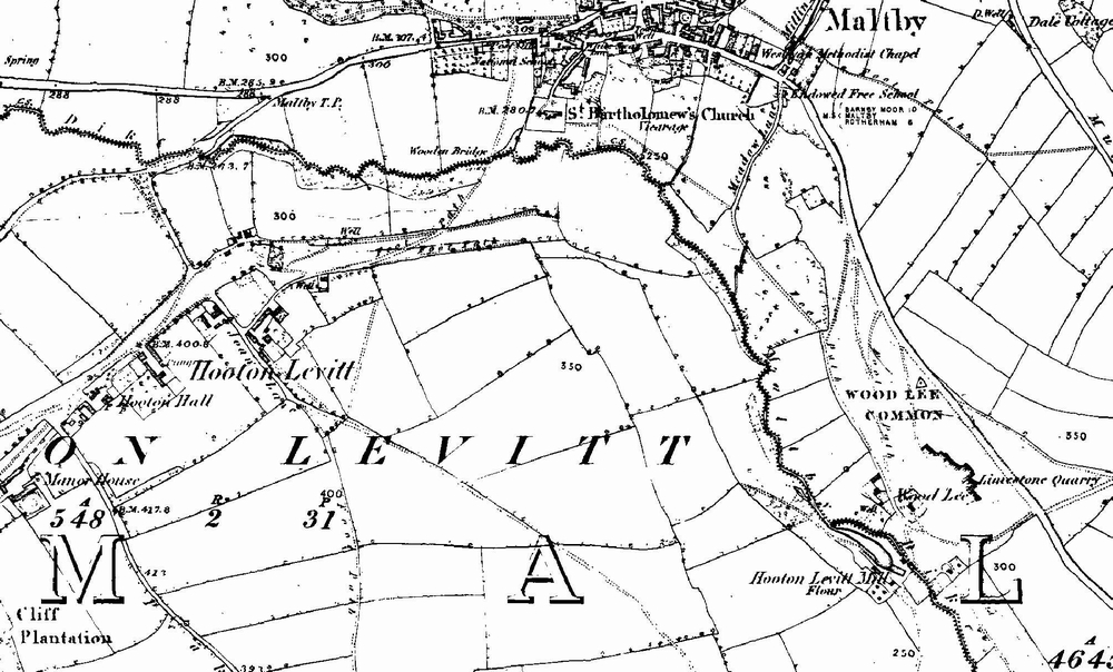
Hooton Levitt
Hooton Levitt (sometimes spelled Hooton Levett) is a village and civil parish in the Metropolitan Borough of Rotherham in South Yorkshire, England; one...
Nearby Amenities
Located within 500m of 53.444162,-1.211841Have you been to Braithwell?
Leave your review of Braithwell below (or comments, questions and feedback).