Bradford Peverell

Civil Parish in Dorset West Dorset

England

Bradford Peverell

Stratton, war memorial On Dorchester Road; recording the names of thirteen fallen in the world wars.
Stratton, war memorial Credit: Mike Faherty

Bradford Peverell is a civil parish located in the county of Dorset, in southwest England. It is situated approximately 5 miles east of the county town of Dorchester. The parish covers an area of around 4.5 square miles and has a population of around 500 residents.

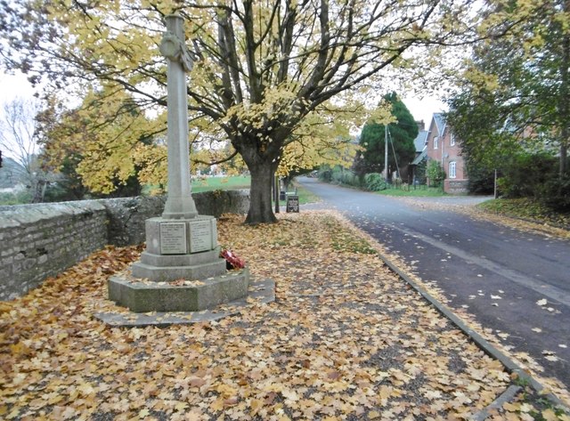
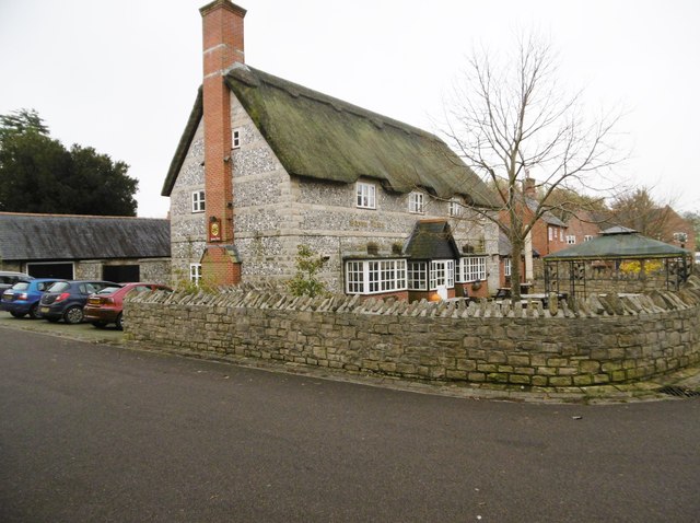
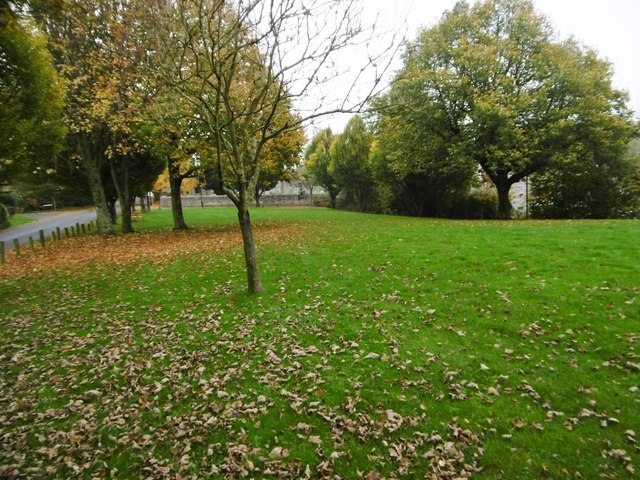
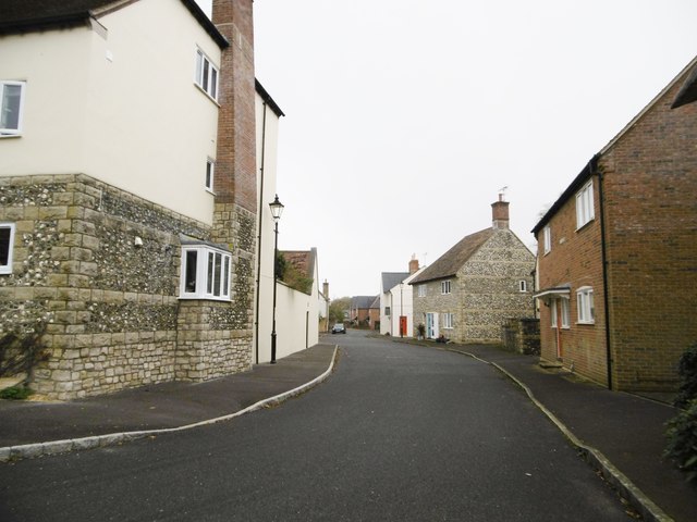
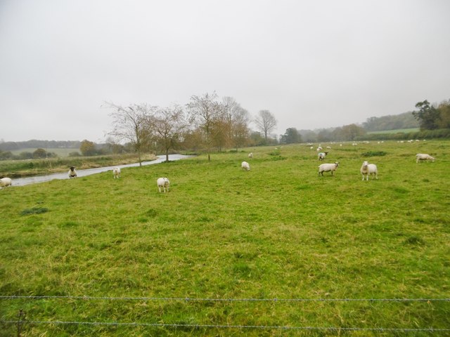
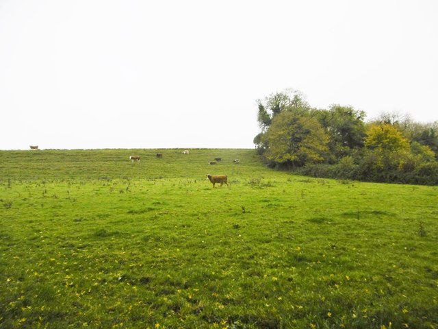
The village of Bradford Peverell is nestled in the beautiful countryside of the Frome Valley. It is characterized by its charming thatched cottages, historic buildings, and picturesque landscapes. The River Frome flows through the parish, adding to its natural beauty.

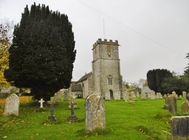
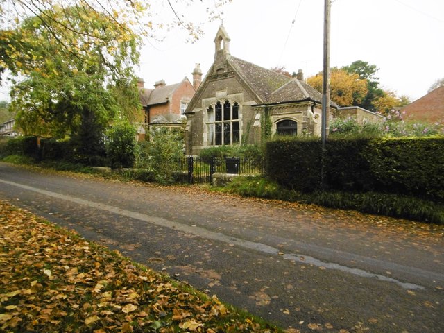
The village is home to the Church of St. Mary, a Grade I listed building dating back to the 12th century. The church features an impressive tower and is known for its well-preserved medieval wall paintings.

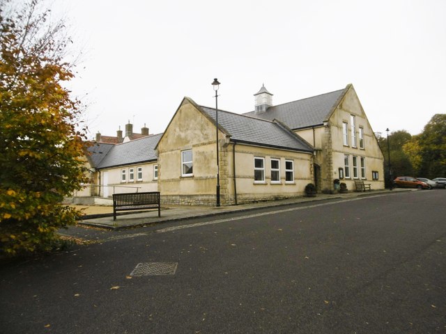
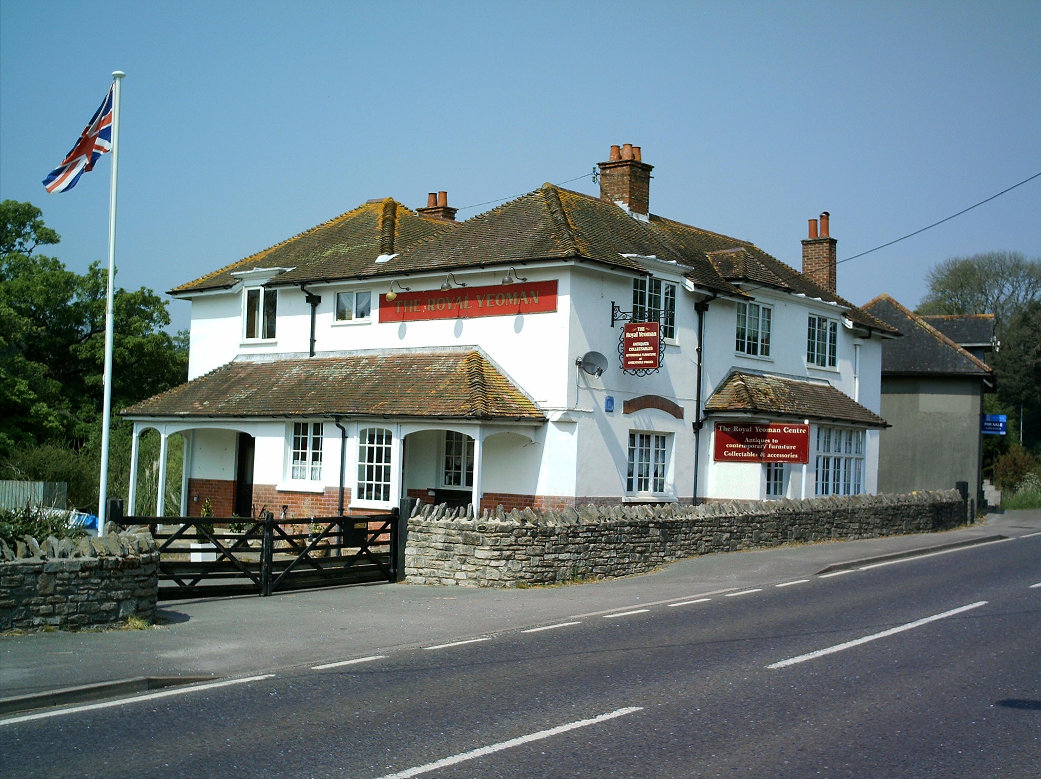
Bradford Peverell has a strong sense of community, with various social and recreational activities available for residents. The village has a primary school, a village hall, and a pub, providing essential amenities for its inhabitants.

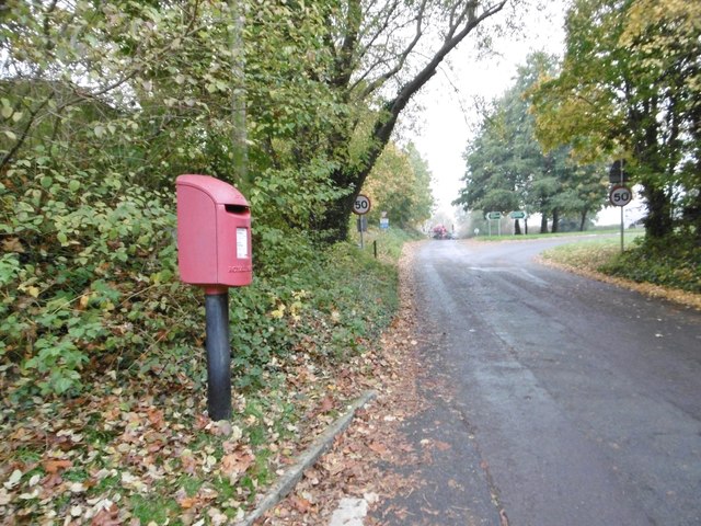
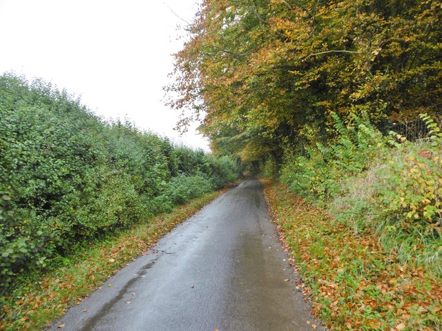
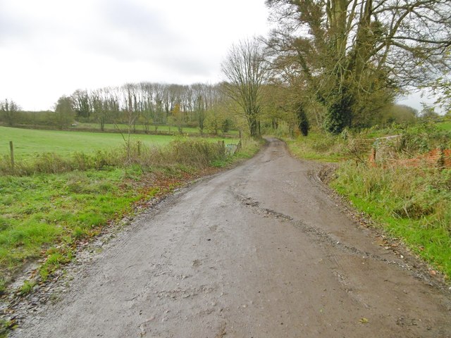
The surrounding area offers numerous opportunities for outdoor activities. Residents and visitors can enjoy scenic walks along the river or explore the nearby countryside. The village is also conveniently located for accessing the larger towns and cities in the region, including Dorchester and Weymouth, which offer a wider range of services and amenities.

Overall, Bradford Peverell is a charming and peaceful parish, offering a rural lifestyle with easy access to the nearby towns and cities. It is an idyllic location for those seeking a tranquil retreat in the heart of Dorset.

If you have any feedback on the listing, please let us know in the comments section below.

Bradford Peverell Images

Images are sourced within 2km of 50.72565/-2.49489 or Grid Reference SY6591. Thanks to Geograph Open Source API. All images are credited.

Stratton, war memorial On Dorchester Road; recording the names of thirteen fallen in the world wars.
Stratton, war memorial
On Dorchester Road; recording the names of thirteen fallen in the world wars.
Stratton, St. Mary the Virgin Parish church on Dorchester Road, dating from C12; listed by Historic England (Grade I): <span class="nowrap"><a title="http://www.imagesofengland.org.uk/Details/Default.aspx?id=401939&mode=adv" rel="nofollow ugc noopener" href="http://www.imagesofengland.org.uk/Details/Default.aspx?id=401939&mode=adv">Link</a><img style="margin-left:2px;" alt="External link" title="External link - shift click to open in new window" src="https://s1.geograph.org.uk/img/external.png" width="10" height="10"/></span>
Stratton, St. Mary the Virgin
Parish church on Dorchester Road, dating from C12; listed by Historic England (Grade I): LinkExternal link
Stratton, Saxon Arms Welcoming village pub on the Square. A modern building, like the village hall opposite, and houses on this side of the main road, but with plenty of character. Back bar, open plan, with drinking area front and left, and dining right. Wooden panelled ceilings, wood burning stoves and festoons of hops. Cask ales on offer at my visit: Butcombe Bitter, Moorhouse's White Witch, St. Austell Proper Job, Taylor's Landlord. Listed in the 2016 Good Beer Guide.
Stratton, Saxon Arms
Welcoming village pub on the Square. A modern building, like the village hall opposite, and houses on this side of the main road, but with plenty of character. Back bar, open plan, with drinking area front and left, and dining right. Wooden panelled ceilings, wood burning stoves and festoons of hops. Cask ales on offer at my visit: Butcombe Bitter, Moorhouse's White Witch, St. Austell Proper Job, Taylor's Landlord. Listed in the 2016 Good Beer Guide.
Stratton Village Hall On the Square; dated 2000.
Stratton Village Hall
On the Square; dated 2000.
Stratton Village Green Overlooking Dorchester Road; with seats and a playground (out of sight).
Stratton Village Green
Overlooking Dorchester Road; with seats and a playground (out of sight).
Stratton, former school On Dorchester Road, dated 1898; now residential.
Stratton, former school
On Dorchester Road, dated 1898; now residential.
Bradford Peverell, Roman Road Lane from the crossroads at Muckleford to the village. Autumn colours on the beeches are showing well. Part of the Roman route from Ilchester to Dorchester.
Bradford Peverell, Roman Road
Lane from the crossroads at Muckleford to the village. Autumn colours on the beeches are showing well. Part of the Roman route from Ilchester to Dorchester.
Bradford Peverell, cottages In the village centre, on Roman Road.
Bradford Peverell, cottages
In the village centre, on Roman Road.
Bradford Peverell, St. Mary's Parish church, mid-C19 by Decimus Burton; listed by Historic England (Grade II*): <span class="nowrap"><a title="http://www.imagesofengland.org.uk/Details/Default.aspx?id=105117&mode=adv" rel="nofollow ugc noopener" href="http://www.imagesofengland.org.uk/Details/Default.aspx?id=105117&mode=adv">Link</a><img style="margin-left:2px;" alt="External link" title="External link - shift click to open in new window" src="https://s1.geograph.org.uk/img/external.png" width="10" height="10"/></span>
Bradford Peverell, St. Mary's
Parish church, mid-C19 by Decimus Burton; listed by Historic England (Grade II*): LinkExternal link
Bradford Peverell, River Frome Looking downstream from the road to Stratton.
Bradford Peverell, River Frome
Looking downstream from the road to Stratton.
Stratton, railway bridge Carrying the Dorchester to Yeovil line over the Bradford Peverell to Stratton road.
Stratton, railway bridge
Carrying the Dorchester to Yeovil line over the Bradford Peverell to Stratton road.
Stratton, Meadow Bottom Like most of the housing in this corner of the village, modern; but showing sympathetic use of vernacular cladding (thatch or stone and flint).
Stratton, Meadow Bottom
Like most of the housing in this corner of the village, modern; but showing sympathetic use of vernacular cladding (thatch or stone and flint).
Stratton, postbox DT2 605, at the western end of the village, on Dorchester Road; ahead, A37 and the village by-pass.
Stratton, postbox
DT2 605, at the western end of the village, on Dorchester Road; ahead, A37 and the village by-pass.
Grimstone, sheep grazing On the banks of River Frome.
Grimstone, sheep grazing
On the banks of River Frome.
Bradford Peverell, cattle grazing
Bradford Peverell, Roman Road Lane from Muckleford to Bradford Peverell, parallel to River Frome. Beech trees are showing good autumn colour. Part of the Roman route from Ilchester to Dorchester.
Bradford Peverell, Roman Road
Lane from Muckleford to Bradford Peverell, parallel to River Frome. Beech trees are showing good autumn colour. Part of the Roman route from Ilchester to Dorchester.
Bradford Peverell, bridleway Continuing from Church Lane to New Barn and Westwood House.
Bradford Peverell, bridleway
Continuing from Church Lane to New Barn and Westwood House.
Bradford Peverell, signpost At the top of Church Lane; left, footpath behind village cottages to Roman Road; ahead, bridleway to New Barn and Westwood House.
Bradford Peverell, signpost
At the top of Church Lane; left, footpath behind village cottages to Roman Road; ahead, bridleway to New Barn and Westwood House.
Show me another place!

Bradford Peverell is located at Grid Ref: SY6591 (Lat: 50.72565, Lng: -2.49489)

Administrative County: Dorset

District: West Dorset

Police Authority: Dorset

What 3 Words

///chairing.labs.mute. Near Charminster, Dorset

Related Wikis

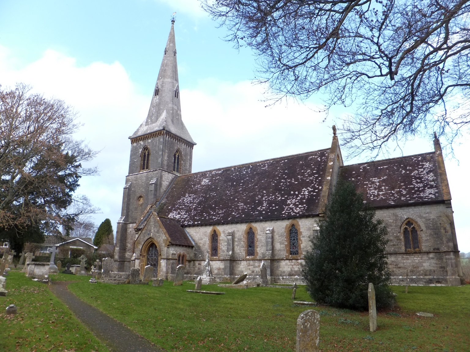
St Mary's Church, Bradford Peverell

St Mary's Church is a Church of England parish church in Bradford Peverell, Dorset, England. It was designed by Decimus Burton and built in 1849–50. The...

Bradford Peverell

Bradford Peverell is a village and civil parish in the English county of Dorset, 2 miles (3.2 km) north-west of the county town Dorchester. It is sited...

Grimstone, Dorset

Grimstone is a hamlet at the confluence of Sydling Water and the River Frome in the western part of the civil parish of Stratton, Dorset. The Great Western...

Bradford Peverell & Stratton Halt

Bradford Peverell and Stratton Halt was a station on the Great Western Railway on what had originally been part of the Wiltshire, Somerset & Weymouth Railway...

Stratton, Dorset

Stratton is a village and civil parish in Dorset, England, situated in the Frome valley about 3 miles (4.8 km) north-west of Dorchester. The parish includes...

St George's Hundred, Dorset

St George's Hundred, later often George Hundred, was a hundred (administrative division) in the county of Dorset, England, containing the following parishes...

Poundbury

Poundbury is an experimental urban extension on the western outskirts of Dorchester in the county of Dorset, England. The development is led by the Duchy...

Grimstone and Frampton railway station

Grimstone and Frampton railway station was a station on the Wiltshire, Somerset & Weymouth Railway, part of the Great Western Railway between Maiden Newton...

Nearby Amenities

Located within 500m of 50.72565,-2.49489
Material: wood
Power: pole
Source: bing
Lat/Long: 50.72978/-2.492484
Material: wood
Power: pole
Source: bing
Lat/Long: 50.7300599/-2.4937035
Direction: S
Generator Method: photovoltaic
Generator Output Electricity: yes
Generator Solar Modules: 10
Generator Source: solar
Generator Type: solar_photovoltaic_panel
Location: roof
Power: generator
Lat/Long: 50.7242122/-2.4996307
The data included in this document is from www.openstreetmap.org. The data is made available under ODbL.

Have you been to Bradford Peverell?

Leave your review of Bradford Peverell below (or comments, questions and feedback).