Bradfield

Civil Parish in Yorkshire Sheffield

England

Bradfield

Old Boundary Marker on Candlerush Edge, Bleaklow Estate Boundary Marker on Candlerush Edge, Bleaklow, 1860 metres north-northeast of Margery Hill. Bradfield parish. R R W refers to R R Wilson, the owner of the Broomhead Estate at the end of the 19C.

Milestone Society National ID: YW_BRA43em
Old Boundary Marker on Candlerush Edge, Bleaklow Credit: D Garside

Bradfield is a civil parish located in the metropolitan borough of the City of Sheffield, South Yorkshire, England. Situated approximately 7 miles northwest of Sheffield city center, it covers an area of about 27 square kilometers. The parish is nestled within the stunning scenery of the Peak District National Park, offering breathtaking views of the surrounding countryside.

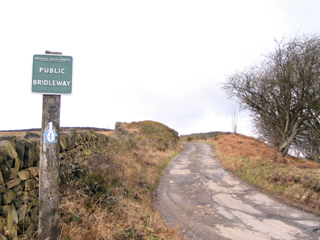
Bradfield is made up of several small villages and hamlets, including Low Bradfield, High Bradfield, Dungworth, and Worrall. These picturesque settlements are known for their traditional stone-built cottages and historic buildings, which add to the area's charm and character.

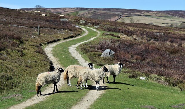
The parish is home to a population of around 2,500 residents, who enjoy a peaceful rural lifestyle. Agriculture plays a significant role in the local economy, with fields of crops and grazing livestock dotting the landscape. Many residents also commute to nearby Sheffield or other surrounding towns for work.

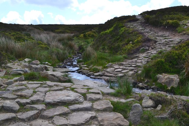
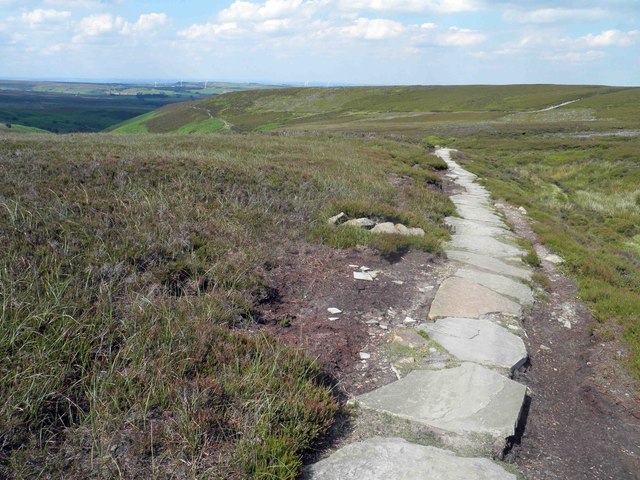
Bradfield offers a range of amenities and services to its residents, including a primary school, village hall, and a number of local shops and pubs. The area is a popular destination for outdoor enthusiasts, with numerous walking and cycling routes, as well as opportunities for fishing in the nearby reservoirs.

Historically, Bradfield has been inhabited for centuries, and evidence of its rich heritage can be seen in the form of ancient churches, such as the Grade I listed Bradfield Church, dating back to the 12th century.

Overall, Bradfield is a picturesque and close-knit community, offering a tranquil countryside setting with easy access to the amenities and attractions of nearby Sheffield.

If you have any feedback on the listing, please let us know in the comments section below.
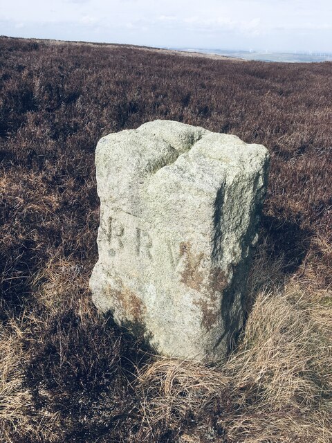
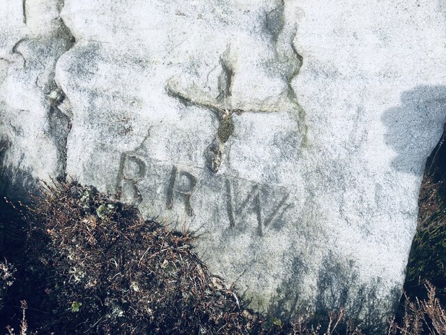
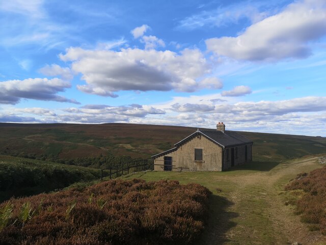
Bradfield Images

Images are sourced within 2km of 53.460932/-1.690632 or Grid Reference SK2096. Thanks to Geograph Open Source API. All images are credited.

Old Boundary Marker on Candlerush Edge, Bleaklow Estate Boundary Marker on Candlerush Edge, Bleaklow, 1860 metres north-northeast of Margery Hill. Bradfield parish. R R W refers to R R Wilson, the owner of the Broomhead Estate at the end of the 19C.

Milestone Society National ID: YW_BRA43em
Old Boundary Marker on Candlerush Edge, Bleaklow
Estate Boundary Marker on Candlerush Edge, Bleaklow, 1860 metres north-northeast of Margery Hill. Bradfield parish. R R W refers to R R Wilson, the owner of the Broomhead Estate at the end of the 19C. Milestone Society National ID: YW_BRA43em
Old Boundary Marker on Candlerush Edge, Bleaklow Estate Boundary Marker on Candlerush Edge, Bleaklow, 2100 metres northeast of Margery Hill. Bradfield parish. R R W refers to R R Wilson, the owner of the Broomhead Estate at the end of the 19C. See also <a title="https://www.geograph.org.uk/photo/398943" href="https://www.geograph.org.uk/photo/398943">Link</a>.

Milestone Society National ID: YW_BRA44em
Old Boundary Marker on Candlerush Edge, Bleaklow
Estate Boundary Marker on Candlerush Edge, Bleaklow, 2100 metres northeast of Margery Hill. Bradfield parish. R R W refers to R R Wilson, the owner of the Broomhead Estate at the end of the 19C. See also Link. Milestone Society National ID: YW_BRA44em
Old Boundary Marker on Candlerush Edge, Bleaklow Estate Boundary Marker on Candlerush Edge, Bleaklow, 2100 metres east-northeast of Margery Hill. Bradfield parish. R R W refers to R R Wilson, the owner of the Broomhead Estate at the end of the 19C.

Milestone Society National ID: YW_BRA45em
Old Boundary Marker on Candlerush Edge, Bleaklow
Estate Boundary Marker on Candlerush Edge, Bleaklow, 2100 metres east-northeast of Margery Hill. Bradfield parish. R R W refers to R R Wilson, the owner of the Broomhead Estate at the end of the 19C. Milestone Society National ID: YW_BRA45em
Sheep on the path!
Sheep on the path!
Shooting Lodge on Broomhead Moor
Cut Gate Path crosses a short ford
Cyclist at a ford on Cut Gate Path
Rambler resting at Great Grough ford
At Margery Hill Cairn - Bronze Age Burial Mound Exhaustive archaeological studies have confirmed that this ancient site contains evidence of Bronze Age burials over 3,500 years ago. It is now fenced off.
At Margery Hill Cairn - Bronze Age Burial Mound
Exhaustive archaeological studies have confirmed that this ancient site contains evidence of Bronze Age burials over 3,500 years ago. It is now fenced off.
Margery Hill  - highest marked point in South Yorkshire In the very centre of the picture you can just make out Emley Moor telecommunications mast - the tallest man-made structure in England. At 546 metres above sea level, Margery Hill is two metres shorter than High Stones just to the south of it.
Margery Hill - highest marked point in South Yorkshire
In the very centre of the picture you can just make out Emley Moor telecommunications mast - the tallest man-made structure in England. At 546 metres above sea level, Margery Hill is two metres shorter than High Stones just to the south of it.
Moorland pool east of Margery Hill
Margery Stones - natural sculpture
Margery Stones with sky above
Cut gate path paved section A rocky and at times muddy historic crossing from Penistone to the Derwent Valley.
Cut gate path paved section
A rocky and at times muddy historic crossing from Penistone to the Derwent Valley.
With temperatures around 26 degrees time for a rest on Cut Gate
A dry day on a rock free part of Cut Gate
Moorland alongside Cut Gate looking North
Cut Gate path with ford ahead but very dry today
Show me another place!

Bradfield is located at Grid Ref: SK2096 (Lat: 53.460932, Lng: -1.690632)

Division: West Riding

Administrative County: South Yorkshire

District: Sheffield

Police Authority: South Yorkshire

What 3 Words

///presuming.gliders.equivocal. Near Stocksbridge, South Yorkshire

Nearby Locations

Bradfield Hawthorn Clough

Related Wikis

Margery Hill

Margery Hill is a 546-metre (1,791 ft) hill on the Howden Moors in South Yorkshire, England. It lies towards the northern boundary of the Peak District...

High Stones

High Stones, at 548 metres (1,798 ft), is the highest point within the boundaries of both the City of Sheffield and South Yorkshire, England.High Stones...

Howden Edge

Howden Edge (grid reference SK187943) is a peak in the north-east of the Upper Derwent Valley area of the Peak District National Park in England. At 545...

Wigtwizzle

Wigtwizzle is a hamlet in the civil parish of Bradfield, in South Yorkshire, England. The hamlet is 6 miles (9.7 km) south of Penistone, and 12 miles...

Broomhead Hall

Broomhead Hall was a large English country house that stood in the Ewden valley, to the west of Sheffield, England. The hall stood near the hamlet of Wigtwizzle...

Upper Midhope

Upper Midhope (archaic Over Midhope) is a village in the civil parish of Bradfield within the Stocksbridge and Upper Don electoral ward in the borough...

Langsett Reservoir

Langsett Reservoir is in Yorkshire, England, near the villages of Langsett and Upper Midhope, on the edge of the Peak District National Park. The reservoir...

Midhopestones

Midhopestones (archaic Nether Midhope, also Middup, or Middop) is a village in the civil parish of Bradfield within the Stocksbridge and Upper Don electoral...

Nearby Amenities

Located within 500m of 53.460932,-1.690632
Boggery Slades
Place: locality
Lat/Long: 53.4585629/-1.6913732
Hawthorn Clough
Place: locality
Lat/Long: 53.4608726/-1.692216
Hawthorn Flat
Place: locality
Lat/Long: 53.4599502/-1.6911873
Long Pole Ridge
Place: locality
Lat/Long: 53.4586736/-1.6956987
Hawthorn Ridge
Place: locality
Lat/Long: 53.4622954/-1.6933433
The data included in this document is from www.openstreetmap.org. The data is made available under ODbL.

Have you been to Bradfield?

Leave your review of Bradfield below (or comments, questions and feedback).