Braceborough and Wilsthorpe

Civil Parish in Lincolnshire South Kesteven

England

Braceborough and Wilsthorpe

Field path near Braceborough
Field path near Braceborough Credit: Sheila Russell

Braceborough and Wilsthorpe is a civil parish located in the county of Lincolnshire, England. It is situated in the South Kesteven district, approximately 8 miles southwest of the town of Bourne. The parish covers an area of about 5 square miles and is home to a small population.

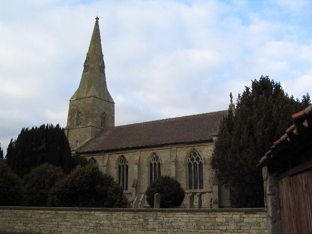
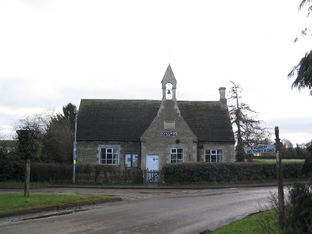
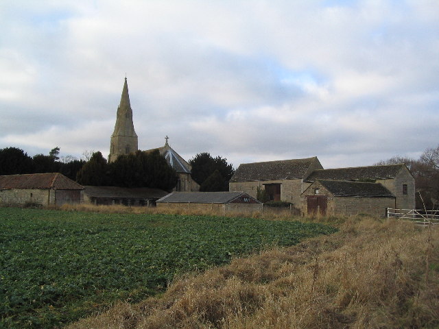
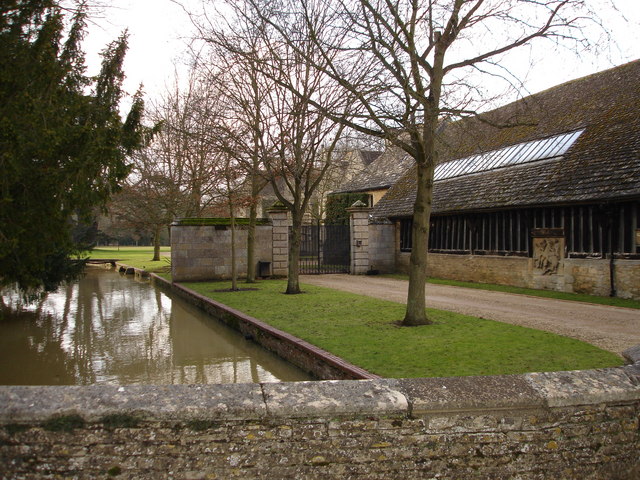
The parish consists of two villages, Braceborough and Wilsthorpe, which are located close to each other. Braceborough is the larger of the two, with a few amenities including a church, village hall, and a primary school. Wilsthorpe, on the other hand, is a smaller village with fewer facilities.

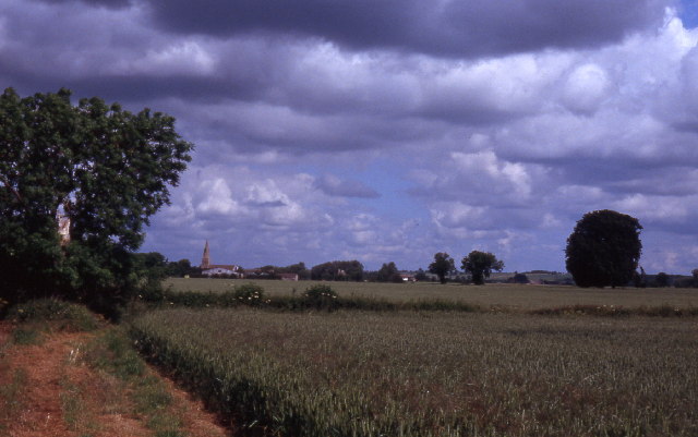
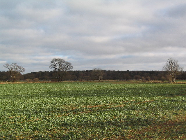
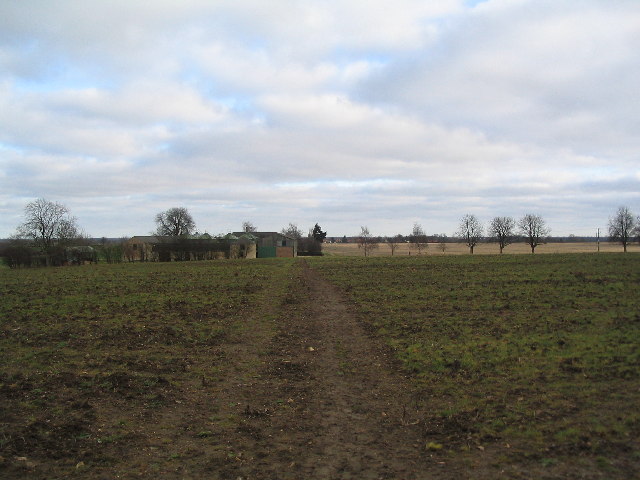
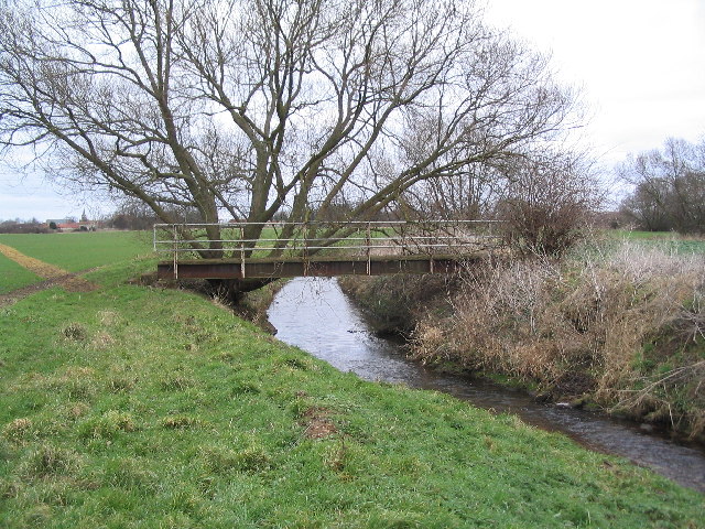
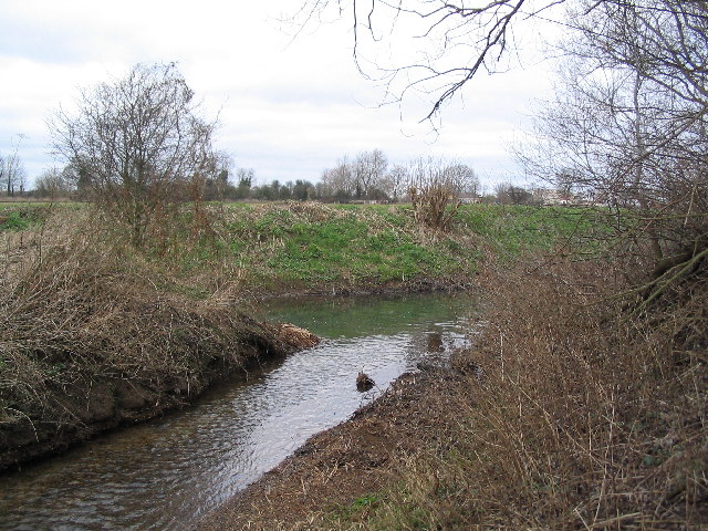
The area is characterized by its rural landscape, with open fields, farmland, and picturesque countryside. It offers a peaceful and tranquil setting, ideal for those seeking a quiet and scenic environment. The surrounding area provides opportunities for outdoor activities such as walking, cycling, and horse riding.

The parish is well-connected by road, with the A151 passing nearby, providing easy access to neighboring towns and villages. The nearest railway station is in the town of Stamford, approximately 8 miles to the northwest.

Overall, Braceborough and Wilsthorpe is a charming and idyllic civil parish in Lincolnshire, offering a tranquil countryside setting and a close-knit community. It is a place where residents can enjoy the beauty of nature and a slower pace of life.

If you have any feedback on the listing, please let us know in the comments section below.

Braceborough and Wilsthorpe Images

Images are sourced within 2km of 52.70769/-0.406282 or Grid Reference TF0713. Thanks to Geograph Open Source API. All images are credited.

Field path near Braceborough
Braceborough Great Wood
Braceborough Lodge
Braceborough Lodge
Church of St Margaret, Braceborough
Braceborough village Hall Originally the village school
Braceborough village Hall
Originally the village school
Old farm buildings and church of St Margaret, Braceborough
Macmillan Way crossing the East Glen river
Confluence of the East Glen and West Glen rivers Not much to look at. But the topography of south west Lincolnshire would be even poorer without these rivers.
Confluence of the East Glen and West Glen rivers
Not much to look at. But the topography of south west Lincolnshire would be even poorer without these rivers.
Old stone cross on the opposite side of the road to the Hare and Hounds, Greatford
An entrance to Greatford Hall
Footpath to Manthorpe This footpath to Manthorpe passes by Spa Lodge Farm.
Footpath to Manthorpe
This footpath to Manthorpe passes by Spa Lodge Farm.
Pylons in Field After taking a small turn these pylons line up and disappear into the distance.
Pylons in Field
After taking a small turn these pylons line up and disappear into the distance.
Track and Trees This far track leads past the small group of trees and on through a larger area of woodland.
Track and Trees
This far track leads past the small group of trees and on through a larger area of woodland.
Footpath and Tree This footpath between two fields is marked by this large tree.  I often wonder if the location of the tree is more than just co-incidence and was actually planted to mark the line of the path or at least the boundary between two neighbouring fields and the path therefore evolved between the two fields.
Footpath and Tree
This footpath between two fields is marked by this large tree. I often wonder if the location of the tree is more than just co-incidence and was actually planted to mark the line of the path or at least the boundary between two neighbouring fields and the path therefore evolved between the two fields.
Part of Macmillan Way near Obthorpe The Macmillan Way, a 470km coast to coast long distance path (Boston Lincolnshire to Abbotsbury Dorset) has been developed to increase public awareness of Macmillan Cancer Relief and to assist in raising funds for this charitable organisation.
The route uses this road, from Obthorpe south towards Wilsthorpe - the next village.
Part of Macmillan Way near Obthorpe
The Macmillan Way, a 470km coast to coast long distance path (Boston Lincolnshire to Abbotsbury Dorset) has been developed to increase public awareness of Macmillan Cancer Relief and to assist in raising funds for this charitable organisation. The route uses this road, from Obthorpe south towards Wilsthorpe - the next village.
St Faith's Church, Wilsthorpe This church replaced a previous one in the 1700s on the same site and was altered in the 1860s to its present design.
St Faith's Church, Wilsthorpe
This church replaced a previous one in the 1700s on the same site and was altered in the 1860s to its present design.
Braceborough Great Wood Braceborough Church spire <a href="https://www.geograph.org.uk/gridref/TF0813">TF0813</a> just visible on horizon
Braceborough Great Wood
Braceborough Church spire TF0813 just visible on horizon
Wild garlic, Allium ursinum Also known as Ramsons, Bear's Garlic and Wood Garlic.
A common plant in damp places with dappled shade so this little bit of woodland is an ideal habitat. There was a thick carpet of the plants under the trees. The whole plant is edible and has been used both as a vegetable and for flavouring. Wild garlic also has great health giving properties and is said to be more potent than cultivated garlic, A. sativum. It has antioxidant properties which reduce blood pressure and cholesterol levels, and the juice can be used as an antiseptic. The typical garlic odour is caused by allicin, a sulphur compound present in the plant.
Wild garlic, Allium ursinum
Also known as Ramsons, Bear's Garlic and Wood Garlic. A common plant in damp places with dappled shade so this little bit of woodland is an ideal habitat. There was a thick carpet of the plants under the trees. The whole plant is edible and has been used both as a vegetable and for flavouring. Wild garlic also has great health giving properties and is said to be more potent than cultivated garlic, A. sativum. It has antioxidant properties which reduce blood pressure and cholesterol levels, and the juice can be used as an antiseptic. The typical garlic odour is caused by allicin, a sulphur compound present in the plant.
Show me another place!

Braceborough and Wilsthorpe is located at Grid Ref: TF0713 (Lat: 52.70769, Lng: -0.406282)

Administrative County: Lincolnshire

District: South Kesteven

Police Authority: Lincolnshire

What 3 Words

///irritate.recapture.shame. Near Essendine, Rutland

Related Wikis

Braceborough

Braceborough is a village in the South Kesteven district of Lincolnshire, England. It is situated off the Stamford to Bourne A6121 road, just west of the...

Braceborough Spa Halt railway station

Braceborough Spa railway station was a station in Braceborough Spa, Lincolnshire on the Bourn and Essendine Railway between Essendine and Bourne. It was...

Braceborough and Wilsthorpe

Braceborough and Wilsthorpe is a civil parish in the South Kesteven district of Lincolnshire, England. Braceborough and Wilsthorpe are less than 1 mile...

Wilsthorpe, Lincolnshire

Wilsthorpe is a village in the district of South Kesteven in the county of Lincolnshire, England. It is situated approximately 6 miles (10 km) north-east...

Wilsthorpe Crossing Halt railway station

Wilsthorpe Crossing Halt railway station was on the branch line between Bourne and Essendine, Lincolnshire, England. == History == The line of the Bourn...

Greatford

Greatford is a village and civil parish in the South Kesteven district of Lincolnshire, England. It is situated 2 miles (3 km) west from the A15, 4.5 miles...

Bowthorpe Oak

Bowthorpe Oak in Manthorpe near Bourne, Lincolnshire, is a gigantic and ancient pedunculate oak in England. The tree has a circumference of about 44 feet...

Obthorpe

Obthorpe is a hamlet in the civil parish of Thurlby, in the South Kesteven district of Lincolnshire, England. It lies 3 miles (5 km) south from Bourne...

Nearby Amenities

Located within 500m of 52.70769,-0.406282
Braceborough
Is In: Lincolnshire, England, UK
Place: village
Source: NPE
Lat/Long: 52.705869/-0.4020882
Bus Stop
Telephone Box
Naptan AtcoCode: 270000014544
Naptan Bearing: S
Naptan CommonName: Telephone Box
Naptan Indicator: opp
Naptan Landmark: Telephone Box
Naptan NaptanCode: linagtda
Naptan Street: Main Street
Naptan Verified: no
Source: naptan_import
Lat/Long: 52.7057089/-0.4029706
Bus Stop
Telephone Box
Naptan AtcoCode: 2700LBTB6687
Naptan Bearing: N
Naptan CommonName: Telephone Box
Naptan Indicator: adj
Naptan Landmark: Telephone Box
Naptan NaptanCode: lingdtwd
Naptan Street: Main Street
Naptan Verified: no
Source: naptan_import
Lat/Long: 52.7057198/-0.4031182
Passing Place
Lat/Long: 52.708748/-0.3997633
Community Centre
Braceborough Village Hall
Addr City: Braceborough
Addr Postcode: PE9 4NT
Addr Street: Church Lane
Fhrs Authority: South Kesteven
Fhrs Id: 238314
Fhrs Local Authority Id: 3998
Source: Bing;local knowledge
Lat/Long: 52.7048799/-0.4028932
Telephone
Booth: K6
Covered: booth
Operator: BT
Phone: +44 1778 560212
Lat/Long: 52.7058156/-0.4029706
Post Box
Post Box Type: lamp
Royal Cypher: EIIR
Royal Cypher Wikidata: Q33102113
Lat/Long: 52.7058465/-0.4029853
Social Facility
Braceborough Hall Retirement Home
Addr City: Braceborough
Addr Postcode: PE9 4NT
Addr Street: Church Lane
Fhrs Authority: South Kesteven
Fhrs Id: 238244
Fhrs Local Authority Id: 3988
Social Facility: group_home
Social Facility For: senior
Lat/Long: 52.7056516/-0.4019129
The data included in this document is from www.openstreetmap.org. The data is made available under ODbL.

Have you been to Braceborough and Wilsthorpe?

Leave your review of Braceborough and Wilsthorpe below (or comments, questions and feedback).