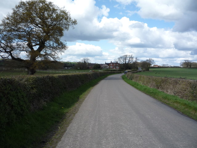
Boylestone
Civil Parish in Derbyshire Derbyshire Dales
England
Boylestone
Boylestone is a small civil parish located in the county of Derbyshire, England. Situated approximately 8 miles southwest of Derby, the village is nestled in a rural area surrounded by picturesque countryside. The parish covers an area of approximately 2.5 square miles.
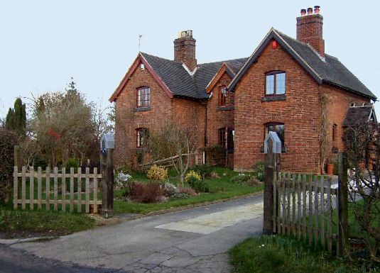
Boylestone is known for its peaceful and idyllic setting, making it an attractive location for those seeking a tranquil lifestyle away from the hustle and bustle of larger towns and cities. The village is characterized by its traditional stone-built houses and charming cottages, giving it a quintessentially English feel.
Despite its small size, Boylestone boasts a strong sense of community, with various local organizations and clubs bringing residents together. The village has a primary school, providing education for children within the parish and the surrounding areas.
The countryside surrounding Boylestone offers ample opportunities for outdoor activities such as walking, cycling, and horse riding. The nearby Carsington Water, a reservoir and nature reserve, is a popular destination for water sports enthusiasts and nature lovers alike.
For amenities and services, residents of Boylestone have access to a range of facilities in the nearby villages and towns, including shops, pubs, and healthcare facilities.
Overall, Boylestone offers a charming and peaceful rural lifestyle, with its beautiful countryside and strong community spirit making it an appealing place to live for those seeking a quieter pace of life.
If you have any feedback on the listing, please let us know in the comments section below.
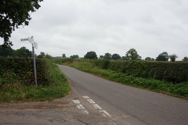
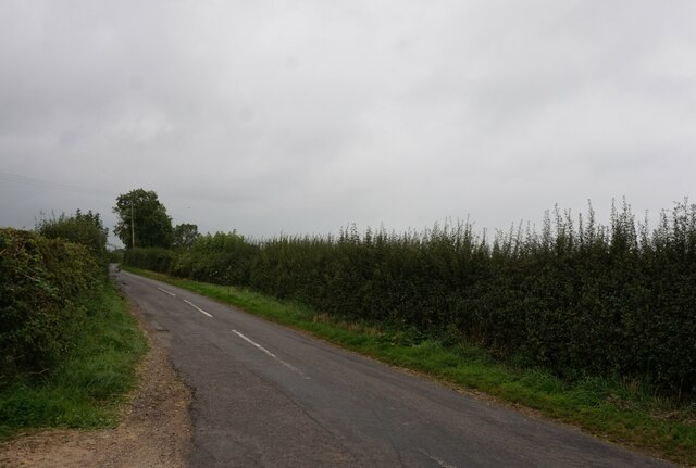
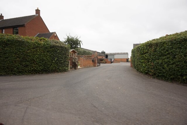
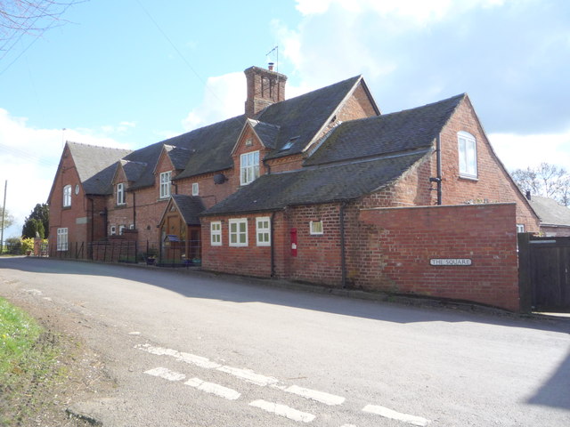
Boylestone Images
Images are sourced within 2km of 52.920409/-1.731652 or Grid Reference SK1835. Thanks to Geograph Open Source API. All images are credited.


Boylestone is located at Grid Ref: SK1835 (Lat: 52.920409, Lng: -1.731652)
Administrative County: Derbyshire
District: Derbyshire Dales
Police Authority: Derbyshire
What 3 Words
///softest.rules.grandson. Near Doveridge, Derbyshire
Nearby Locations
Related Wikis
Boylestone
Boylestone is a village and civil parish in the Derbyshire Dales district of Derbyshire, England. At the 2011 census, it had a population of 318. The village...
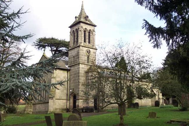
St John the Baptist's Church, Boylestone
St John the Baptist's Church, Boylestone is a Grade II* listed parish church in the Church of England in Boylestone, Derbyshire. == History == The church...

Harehill
Harehill is a village in the civil parish of Boylestone, in the Derbyshire Dales district, in the county of Derbyshire, England. == Nearby settlements... ==
Alkmonton
Alkmonton is a village and civil parish in the Derbyshire Dales district of Derbyshire, England, roughly between Uttoxeter and Derby. The parish had a...

Alkmonton medieval settlement
Alkmonton medieval settlement is an archaeological site, a deserted medieval village near the present-day village of Alkmonton, about 5 miles (8 km) south...

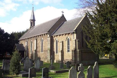
St Andrew's Church, Cubley
St Andrew's Church, Cubley is a Grade I listed parish church in the Church of England in Cubley, Derbyshire. == History == The church dates from the mid...

Hungry Bentley
Hungry Bentley is a deserted medieval village and civil parish in the Derbyshire Dales district of Derbyshire, England, between Uttoxeter and Derby. The...
Barton Blount
Barton Blount is a village and civil parish in the South Derbyshire district of Derbyshire, England, between Derby and Uttoxeter. According to the 2001...
Nearby Amenities
Located within 500m of 52.920409,-1.731652Have you been to Boylestone?
Leave your review of Boylestone below (or comments, questions and feedback).