Boxwell with Leighterton

Civil Parish in Gloucestershire Cotswold

England

Boxwell with Leighterton

Tumuli beside the entrance to Park Wood Farm
Tumuli beside the entrance to Park Wood Farm Credit: Philip Halling

Boxwell with Leighterton is a civil parish located in the county of Gloucestershire, England. It is situated in the Cotswold district, approximately 7 miles north of Tetbury. The parish encompasses the small villages of Boxwell and Leighterton.

Boxwell, the larger of the two villages, is a picturesque settlement with a population of around 150 residents. It is known for its charming Cotswold stone houses and tranquil atmosphere. The village is surrounded by rolling hills and farmland, providing stunning views of the countryside.

Leighterton, on the other hand, is a smaller village with a population of around 100 residents. It is characterized by its quaint cottages and rural charm. The village is centered around a village green and is surrounded by fields and woodlands, making it an ideal location for nature lovers and those seeking a peaceful escape from the bustling city life.

Both villages offer a range of amenities to cater to the needs of its residents. These include a village hall, a church, and a pub. The area is also well-connected, with good transport links to nearby towns and cities.

Boxwell with Leighterton is a popular destination for tourists and visitors who are drawn to its idyllic countryside setting and historic architecture. It offers numerous walking and cycling routes, allowing visitors to explore the stunning Cotswold landscape. The parish is also home to several historic landmarks, including Boxwell Court, a Grade I listed building that dates back to the 17th century.

Overall, Boxwell with Leighterton is a charming and peaceful civil parish that offers a delightful combination of natural beauty, rural tranquility, and historical significance.

If you have any feedback on the listing, please let us know in the comments section below.

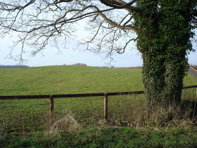
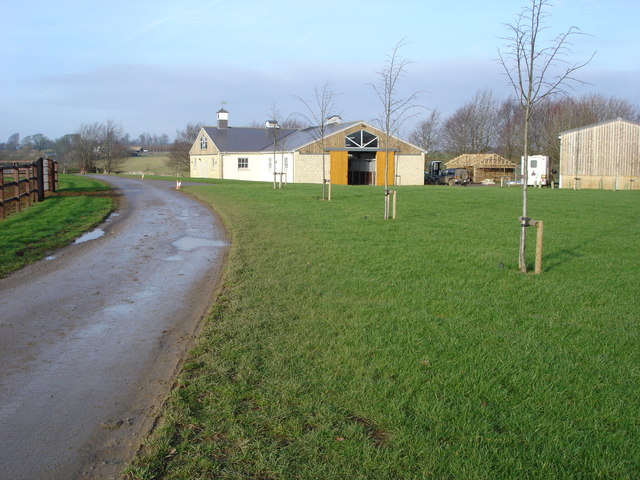
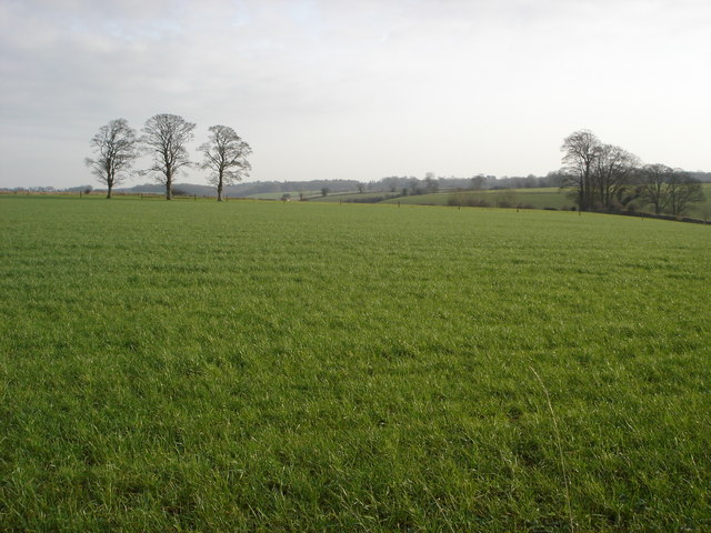
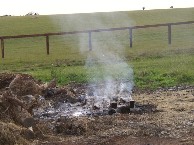
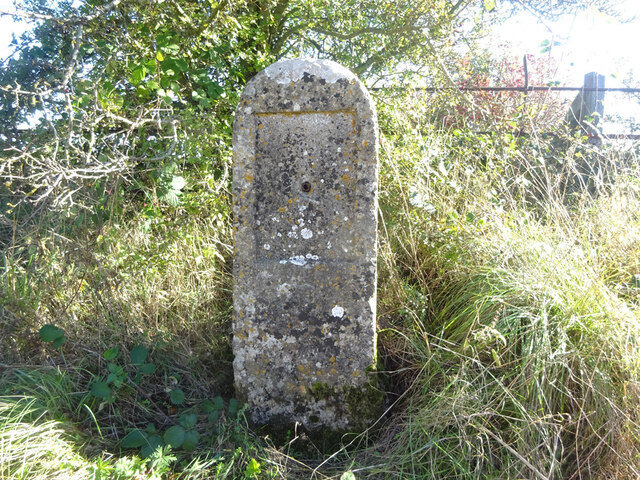
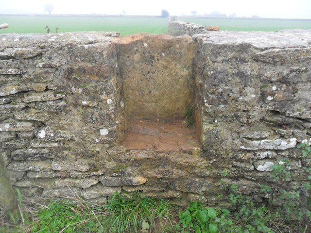
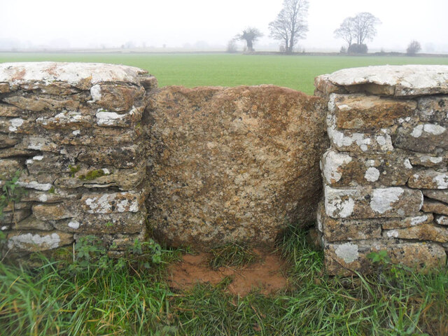
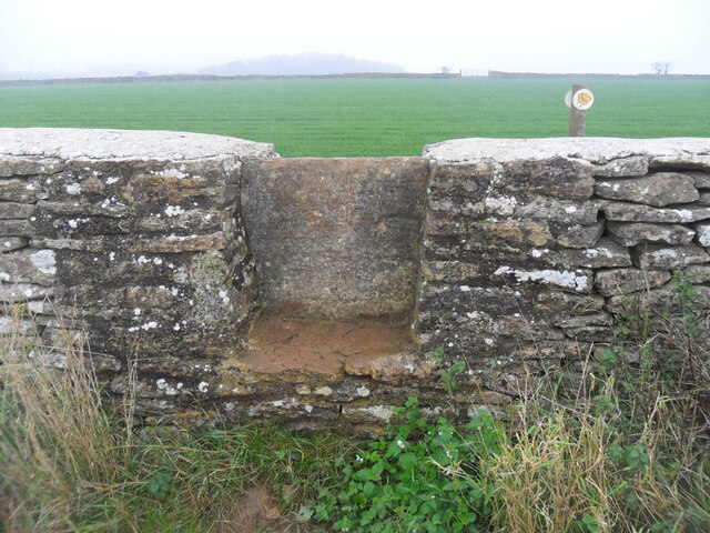
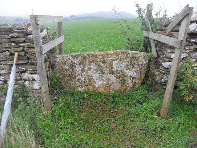
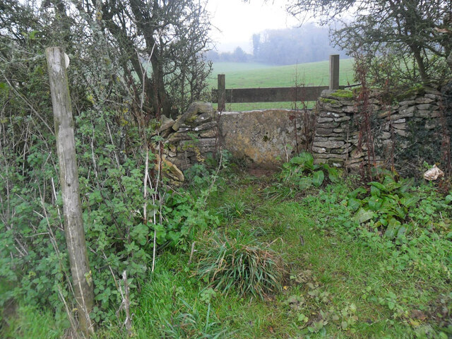
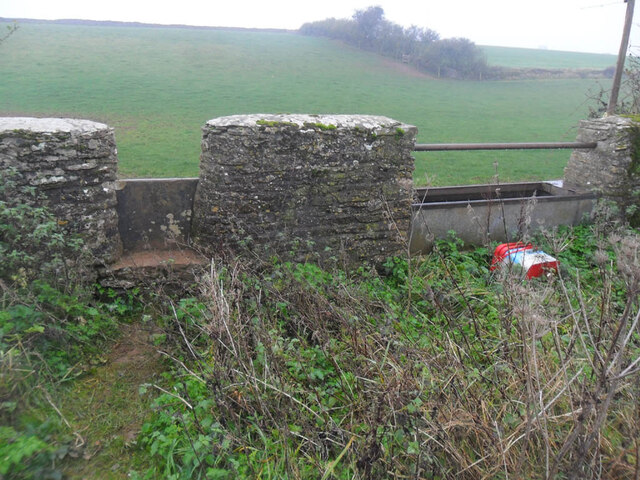
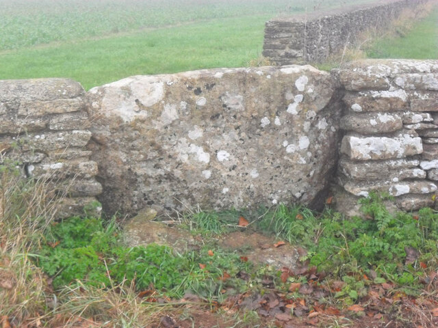
Boxwell with Leighterton Images

Images are sourced within 2km of 51.622297/-2.257338 or Grid Reference ST8291. Thanks to Geograph Open Source API. All images are credited.

Tumuli beside the entrance to Park Wood Farm
Stables at Park Wood Farm
Farmland to the south of Leighterton
Bonfire on edge of farmland Came across this fire just quietly burning by the edge of field!
Bonfire on edge of farmland
Came across this fire just quietly burning by the edge of field!
In Ozleworth Bottom This is looking past a benchmark <a href="https://www.geograph.org.uk/photo/6935226">ST8092 : Benchmark in Ozleworth Bottom</a> on the right hand of two posts at the eastern end of Ozleworth Bottom to a flat area (extending into the next square east) that looks as if it was an area of water at some time in the recent past. Unlike a more obvious benchmark close-by <a href="https://www.geograph.org.uk/photo/6603653">ST8092 : Benchmark by a track</a>, this one has recently been made more accessible by the absence of trees cut down because of ash dieback.
In Ozleworth Bottom
This is looking past a benchmark ST8092 : Benchmark in Ozleworth Bottom on the right hand of two posts at the eastern end of Ozleworth Bottom to a flat area (extending into the next square east) that looks as if it was an area of water at some time in the recent past. Unlike a more obvious benchmark close-by ST8092 : Benchmark by a track, this one has recently been made more accessible by the absence of trees cut down because of ash dieback.
Benchmark in Ozleworth Bottom This benchmark (OS description: STO P E SIDE TK S SIDE FOOTPATH) needed a bit of gardening to reveal it, even though a number of trees near it had been removed <a href="https://www.geograph.org.uk/photo/6935219">ST8192 : In Ozleworth Bottom</a>.
Benchmark in Ozleworth Bottom
This benchmark (OS description: STO P E SIDE TK S SIDE FOOTPATH) needed a bit of gardening to reveal it, even though a number of trees near it had been removed ST8192 : In Ozleworth Bottom.
Old Milestone, A46 In the parish of Boxwell With Leighterton, on the SE side of the road, somewhat higher than the road. Under the missing plate recess there is a cut Benchmark representing 170.4 m ASL.

Inscription (was): Gloucester 20 / Bath 18

Milestone Society National ID: GL_BAGL18
Old Milestone, A46
In the parish of Boxwell With Leighterton, on the SE side of the road, somewhat higher than the road. Under the missing plate recess there is a cut Benchmark representing 170.4 m ASL. Inscription (was): Gloucester 20 / Bath 18 Milestone Society National ID: GL_BAGL18
Unmapped pond near Ozleworth Bottom There isn't always water in this pond: this image, taken In September, can be compared with December <a href="https://www.geograph.org.uk/photo/300553">ST8193 : Lake in Ozleworth Bottom</a>.
Unmapped pond near Ozleworth Bottom
There isn't always water in this pond: this image, taken In September, can be compared with December ST8193 : Lake in Ozleworth Bottom.
Stone Stile, Leighterton Near the corner of a field NE of the village on Gloucestershire footpath NBL3. The footpath transits the field over the stile at 45 degrees and exits through the stone wall just visible.
Stone Stile, Leighterton
Near the corner of a field NE of the village on Gloucestershire footpath NBL3. The footpath transits the field over the stile at 45 degrees and exits through the stone wall just visible.
Stone Stile, Leighterton Looking West-NW to the corner of stone walls in the distance. On Gloucestershire footpath NBL3.
Stone Stile, Leighterton
Looking West-NW to the corner of stone walls in the distance. On Gloucestershire footpath NBL3.
Stone Stile, Leighterton Near the corner of the field, with a crooked stone wall on the left out of picture. On Gloucestershire footpath NBL3.
Stone Stile, Leighterton
Near the corner of the field, with a crooked stone wall on the left out of picture. On Gloucestershire footpath NBL3.
Stone Stile, Leighterton With Slait Barn to the North of here (left of image) on  Gloucestershire footpath NBL3.
Stone Stile, Leighterton
With Slait Barn to the North of here (left of image) on Gloucestershire footpath NBL3.
Stone Stile, Leighterton In the corner of the field, SE of Slait Barn on  Gloucestershire footpath NBL3.
Stone Stile, Leighterton
In the corner of the field, SE of Slait Barn on Gloucestershire footpath NBL3.
Stone Stile, Leighterton Looking South to the corner of a field, with a cattle trough to the West on Gloucestershire footpaths NBL3 & NBL4.
Stone Stile, Leighterton
Looking South to the corner of a field, with a cattle trough to the West on Gloucestershire footpaths NBL3 & NBL4.
Stone Stile, Leighterton To the NE of Slait Barn on Gloucestershire footpaths NBL3 & NWL8 that lead to Bowldown Farm.
Stone Stile, Leighterton
To the NE of Slait Barn on Gloucestershire footpaths NBL3 & NWL8 that lead to Bowldown Farm.
Stone Stile, Leighterton East of the village looking towards Bennets Farm Shop across the field. On Gloucestershire footpath NBL6.
Stone Stile, Leighterton
East of the village looking towards Bennets Farm Shop across the field. On Gloucestershire footpath NBL6.
Stone Stile, Leighterton GS2209 On Gloucestershire footpath NBL6, SE of the village. The view looking away from Leighterton is <a href="https://www.geograph.org.uk/photo/7264675">ST8390 : Stone Stile, Leighterton GS2209</a>.
Stone Stile, Leighterton GS2209
On Gloucestershire footpath NBL6, SE of the village. The view looking away from Leighterton is ST8390 : Stone Stile, Leighterton GS2209.
Stone Stile, Leighterton GS2032 On Gloucestershire footpath NBL6, Monarchs Way. Looking SE towards Westonbirt Arboretum. A close-up of the other side is <a href="https://www.geograph.org.uk/photo/7258481">ST8390 : Stone Stile, Leighterton GS2032</a>.
Stone Stile, Leighterton GS2032
On Gloucestershire footpath NBL6, Monarchs Way. Looking SE towards Westonbirt Arboretum. A close-up of the other side is ST8390 : Stone Stile, Leighterton GS2032.
Show me another place!

Boxwell with Leighterton is located at Grid Ref: ST8291 (Lat: 51.622297, Lng: -2.257338)

Administrative County: Gloucestershire

District: Cotswold

Police Authority: Gloucestershire

What 3 Words

///physical.deeper.baths. Near Wotton-under-Edge, Gloucestershire

Related Wikis

Westonbirt with Lasborough

Westonbirt with Lasborough is a civil parish in the district of Cotswold, in the county of Gloucestershire, England. It includes the villages of Lasborough...

Leighterton

Leighterton is a village in rural Gloucestershire off the A46. It sits within the civil parish of Boxwell with Leighterton, 4.25 miles west-southwest...

Boxwell with Leighterton

Boxwell with Leighterton is a civil parish in the Cotswold district of Gloucestershire, England. According to the 2001 census it had a population of 232...

Boxwell

Boxwell is a hamlet in Gloucestershire, England, near the village of Leighterton Boxwell Court is a Grade II* listed manor house from the 15th or 16th...

Boxwell SSSI

Boxwell SSSI (grid reference ST816928) is a 5.31-hectare (13.1-acre) biological Site of Special Scientific Interest in Gloucestershire, notified in 1954...

Boxwell Court

Boxwell Court is a country house near Leighterton in Gloucestershire, England, about 5 km or 3 miles east of Wotton-under-Edge, dating from the 15th and...

Lasborough Park

Lasborough Park (or Lasborough House) is a Grade II listed country house in Newington Bagpath/Lasborough, Tetbury, Gloucestershire, England. The estate...

Lasborough

Lasborough is a settlement in Gloucestershire, England, part of the Westonbirt with Lasborough civil parish. Lasborough lies to the west of the A46, about...

Nearby Amenities

Located within 500m of 51.622297,-2.257338
Leighterton
Is In: Gloucestershire, England, UK
Place: village
Postal Code: GL8 8
Wikidata: Q6519726
Lat/Long: 51.6191361/-2.2562662
Post Box
Operator: Royal Mail
Post Box Type: lamp
Royal Cypher: EIIR
Royal Cypher Wikidata: Q33102113
Lat/Long: 51.6195228/-2.2563059
Power: pole
Lat/Long: 51.621836/-2.2578334
Power: pole
Lat/Long: 51.622508/-2.2589137
Power: pole
Lat/Long: 51.62014/-2.2586642
Power: pole
Lat/Long: 51.6204414/-2.2585301
Power: pole
Lat/Long: 51.624468/-2.261993
Power: pole
Lat/Long: 51.6237918/-2.2609684
Power: pole
Lat/Long: 51.6211391/-2.2581707
Give Way
Direction: backward
Lat/Long: 51.6195144/-2.256498
Give Way
Direction: backward
Lat/Long: 51.6196503/-2.2566363
Barrier: cattle_grid
Lat/Long: 51.6181904/-2.2547595
Barrier: stile
Stile: stepover
Lat/Long: 51.6181331/-2.2583342
Power: pole
Lat/Long: 51.6192733/-2.2571329
Power: pole
Lat/Long: 51.6194687/-2.2583629
Power: pole
Lat/Long: 51.618699/-2.2591869
Access: no
Barrier: stile
Foot: designated
Material: wood
Stile: stepover
Lat/Long: 51.6200886/-2.2531824
Power: pole
Lat/Long: 51.6190869/-2.253912
Power: pole
Lat/Long: 51.6193786/-2.257763
Power: pole
Lat/Long: 51.6195634/-2.2589468
Colour: green
Man Made: street_cabinet
Lat/Long: 51.6191973/-2.2567554
Access: destination
Barrier: swing_gate
Foot: designated
Material: wood
Wheelchair: limited
Lat/Long: 51.6194346/-2.2553058
Access: designated
Barrier: stile
Foot: designated
Material: wood
Stile: stepover
Lat/Long: 51.6200739/-2.2532301
The data included in this document is from www.openstreetmap.org. The data is made available under ODbL.

Have you been to Boxwell with Leighterton?

Leave your review of Boxwell with Leighterton below (or comments, questions and feedback).