Boxted

Civil Parish in Essex Colchester

England

Boxted

Langham Road at the junction of Straight Road
Langham Road at the junction of Straight Road Credit: David Howard

Boxted is a small civil parish located in the county of Essex, England. It covers an area of approximately 6 square miles and has a population of around 1,000 residents. The village is situated about 8 miles north of Colchester, the largest town in the area.

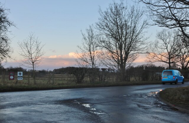
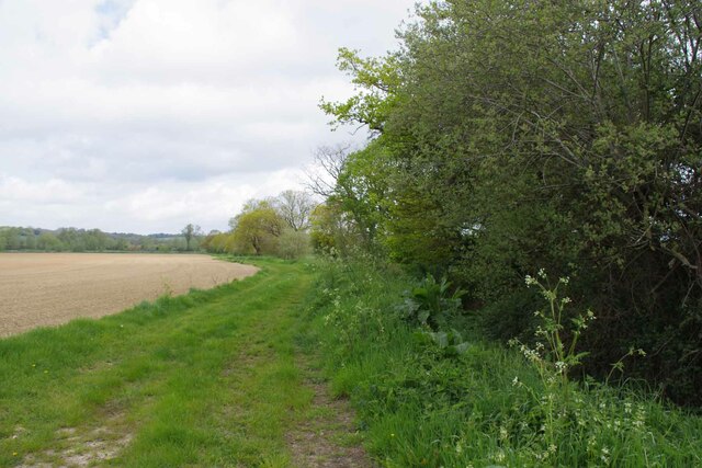
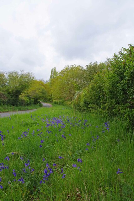
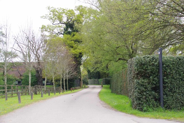
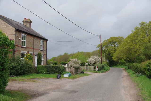
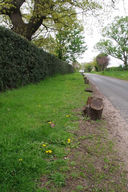
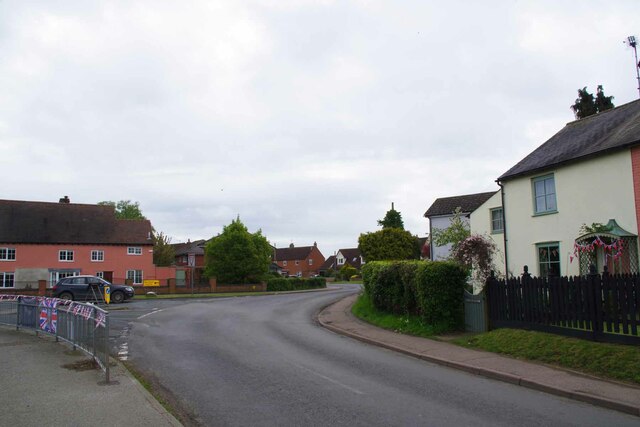
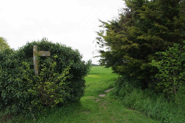
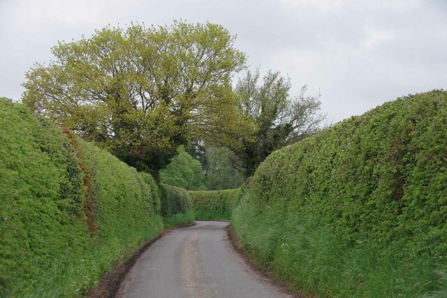
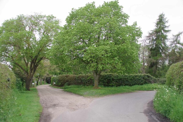
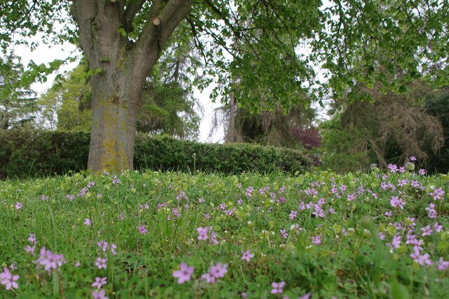
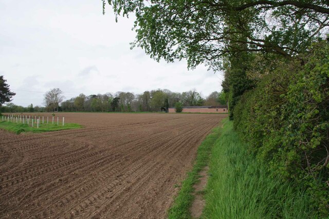
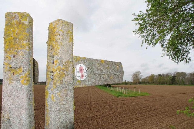
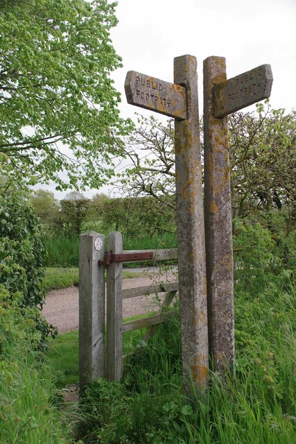
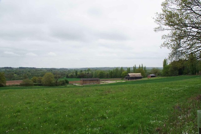
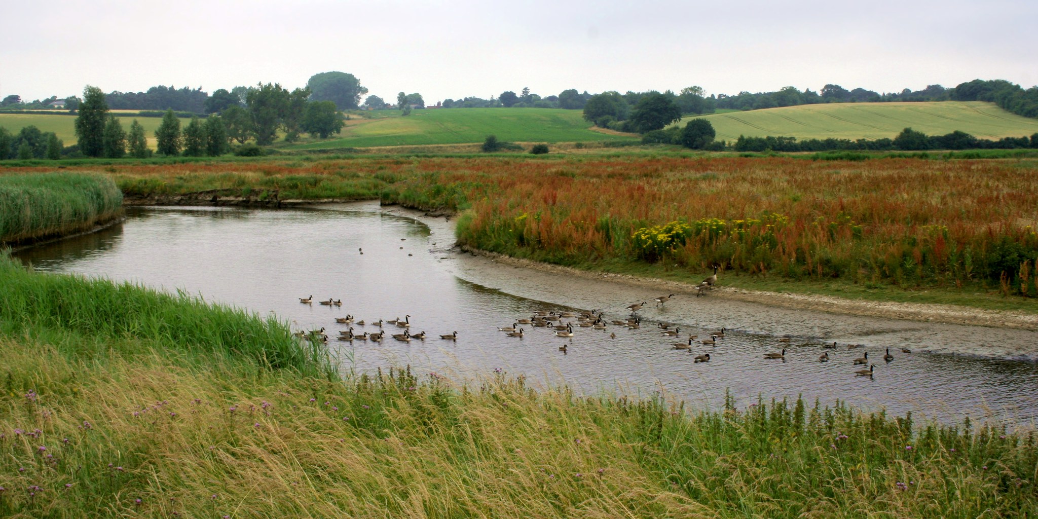
The village of Boxted is surrounded by picturesque countryside, with rolling hills and charming rural landscapes. The area is known for its agricultural heritage, with farming being a significant part of the local economy.

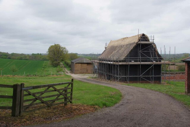
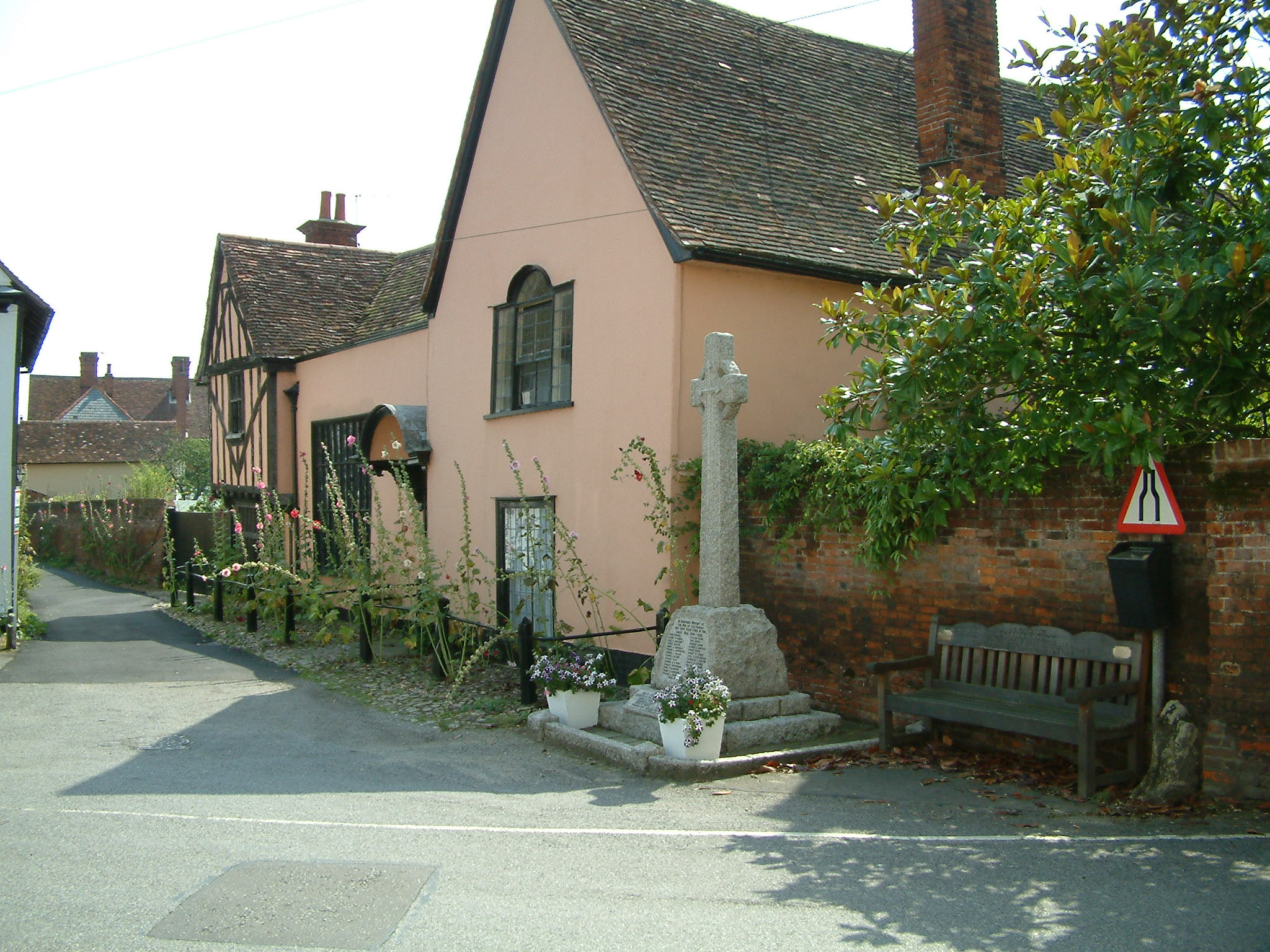
Boxted is home to a number of historic buildings and landmarks, including St. Peter's Church, a beautiful 14th-century structure that stands as a testament to the village's long history. The church features stunning medieval architecture and is a popular destination for visitors and locals alike.

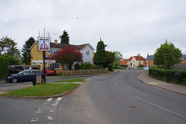
The village also boasts a primary school, providing education for the local children, and a village hall that serves as a hub for community events and activities. Additionally, there are a few small businesses and shops in the village, catering to the needs of the residents.

Boxted is well-connected to the surrounding areas via road networks, with easy access to major routes such as the A12 and A134. This makes it convenient for residents to commute to nearby towns and cities for work or leisure.

Overall, Boxted offers a peaceful and idyllic countryside setting, making it an attractive place to live for those seeking a slower pace of life and a strong sense of community.

If you have any feedback on the listing, please let us know in the comments section below.

Boxted Images

Images are sourced within 2km of 51.953535/0.908067 or Grid Reference TL9932. Thanks to Geograph Open Source API. All images are credited.

Langham Road at the junction of Straight Road
Invisible Stream and Field Margin There was a definite tinkling of water running down towards the Stour, coming from the hidden ditch under the hedge.
Invisible Stream and Field Margin
There was a definite tinkling of water running down towards the Stour, coming from the hidden ditch under the hedge.
Grass Verge by Burnt Dick Hill There were Bluebells growing in the verge today.
Grass Verge by Burnt Dick Hill
There were Bluebells growing in the verge today.
The Essex Way at Boxted Hall This is Boxted Footpath #1;  it comes out in Church Street.
The Essex Way at Boxted Hall
This is Boxted Footpath #1; it comes out in Church Street.
Houses at the Top of Burnt Dick Hill In the outskirts of Boxted.
Houses at the Top of Burnt Dick Hill
In the outskirts of Boxted.
Holly Hedge at Boxted Hall Looking towards the village.
Holly Hedge at Boxted Hall
Looking towards the village.
Bunting and Boxted Cross Coronation morning in Boxted Cross
Bunting and Boxted Cross
Coronation morning in Boxted Cross
The Village Sign at Boxted Cross Taken on coronation morning.
The Village Sign at Boxted Cross
Taken on coronation morning.
Boxted Footpath # 18 This path heads for Hill Farm.
Boxted Footpath # 18
This path heads for Hill Farm.
High Hedges Near Rivers Hall
The Way to Rivers Hall The right hand fork is Sky Hall Hill. The flush of pink under the tree 
is <a href="https://www.geograph.org.uk/photo/7477285">TM0133 : Red Stem Stork's-Bill</a>
The Way to Rivers Hall
The right hand fork is Sky Hall Hill. The flush of pink under the tree is TM0133 : Red Stem Stork's-Bill
Red Stem Stork's-Bill Well that is what my phone app told me!
Red Stem Stork's-Bill
Well that is what my phone app told me!
Boxted Footpath #46 Part of the Essex Way.
Boxted Footpath #46
Part of the Essex Way.
The Essex Way A brace of concrete fingerposts at a footpath junction.
The Essex Way
A brace of concrete fingerposts at a footpath junction.
Footpath Junction at Rivers Hall This is the Junction with Boxted Footpath #46 (The Essex Way) and Boxted footpath 10 to Boxted Cross.
Footpath Junction at Rivers Hall
This is the Junction with Boxted Footpath #46 (The Essex Way) and Boxted footpath 10 to Boxted Cross.
Lower Farm Road Looking towards Lower Farm.
Lower Farm Road
Looking towards Lower Farm.
Rethatching a Barn At Lower Farm
Rethatching a Barn
At Lower Farm
Lower Farm Near Boxted
Lower Farm
Near Boxted
Show me another place!

Boxted is located at Grid Ref: TL9932 (Lat: 51.953535, Lng: 0.908067)

Administrative County: Essex

District: Colchester

Police Authority: Essex

What 3 Words

///shelters.watchdogs.barbarian. Near Boxted, Essex

Nearby Locations

Workhouse Hill Boxted

Related Wikis

Boxted House

Boxted House is a Grade II listed house in Boxted, Essex. It was built in about 1830.It was home to the advertising executive Bobby Bevan (1901-1974),...

Boxted, Essex

Boxted is a village and civil parish in the City of Colchester district of Essex, England. It is located approximately 5 miles (8 km) north of Colchester...

RAF Boxted

Royal Air Force Boxted or more simply RAF Boxted is a former Royal Air Force station located 4 miles (6.4 km) north-northeast of Colchester, Essex England...

Nayland

Nayland is a village and former civil parish, now in the parish of Nayland-with-Wissington, in the Babergh district, in the county of Suffolk, England...

Langham, Essex

Langham is a small village in the City of Colchester district of Essex, England. == History == There is little evidence of pre-Roman occupation of what...

Thorington Street

Thorington Street is a large hamlet on the B1068 road, in the Babergh district, in the English county of Suffolk. The hamlet is part of the civil parish...

Workhouse Hill

Workhouse Hill is a hamlet in the Colchester district, in the English county of Essex. == References == Sources

Dedham Vale

Dedham Vale is a designated Area of Outstanding Natural Beauty on the Essex-Suffolk border in east England. It comprises the area around the River Stour...

Nearby Amenities

Located within 500m of 51.953535,0.908067
Bus Stop
Hobbs Drive
Naptan AtcoCode: 150029080003
Naptan Bearing: NE
Naptan BusStopType: CUS
Naptan CommonName: Hobbs Drive
Naptan Crossing: Hobbs Drive
Naptan Indicator: Adj
Naptan Landmark: Hobbs Drive
Naptan NaptanCode: esxgdwdg
Naptan Street: Boxted Straight Road
Naptan Verified: no
Public Transport: platform
Source: naptan_import
Lat/Long: 51.9539059/0.9152716
Bus Stop
Line Cottages
Naptan AtcoCode: 150029080004
Naptan Bearing: N
Naptan BusStopType: CUS
Naptan CommonName: Line Cottages
Naptan Indicator: o/s
Naptan Landmark: Line Cottages
Naptan NaptanCode: esxgdwdj
Naptan Street: Boxted Straight Road
Naptan Verified: no
Public Transport: platform
Source: naptan_import
Lat/Long: 51.9498908/0.9117944
Bus Stop
Hobbs Drive
Naptan AtcoCode: 1500290800Y3
Naptan Bearing: SW
Naptan BusStopType: CUS
Naptan CommonName: Hobbs Drive
Naptan Crossing: Hobbs Drive
Naptan Indicator: Opp
Naptan Landmark: Hobbs Drive
Naptan NaptanCode: esxgtpjt
Naptan Street: Boxted Straight Road
Naptan Verified: no
Public Transport: platform
Source: naptan_import
Lat/Long: 51.9538682/0.9153419
Bus Stop
Line Cottages
Naptan AtcoCode: 1500290800Y4
Naptan Bearing: S
Naptan BusStopType: CUS
Naptan CommonName: Line Cottages
Naptan Indicator: Opp
Naptan Landmark: Line Cottages
Naptan NaptanCode: esxgtpjw
Naptan Street: Boxted Straight Road
Naptan Verified: no
Public Transport: platform
Source: naptan_import
Lat/Long: 51.9498707/0.9118805
Defibrillator
Defibrillator Location: front right corner of building when viewed from road
Emergency: defibrillator
Ref GB The Circuit: EF96DDE2-841D-46CF-AFBC-AF6B00CD0158
Lat/Long: 51.9518629/0.9129426
The data included in this document is from www.openstreetmap.org. The data is made available under ODbL.

Have you been to Boxted?

Leave your review of Boxted below (or comments, questions and feedback).