Bourton-on-the-Hill
Civil Parish in Gloucestershire Cotswold
England
Bourton-on-the-Hill
Bourton-on-the-Hill is a civil parish located in the Cotswold district of Gloucestershire, England. Situated just 3 miles east of the market town of Moreton-in-Marsh, it is nestled in the picturesque landscape of the North Cotswolds.
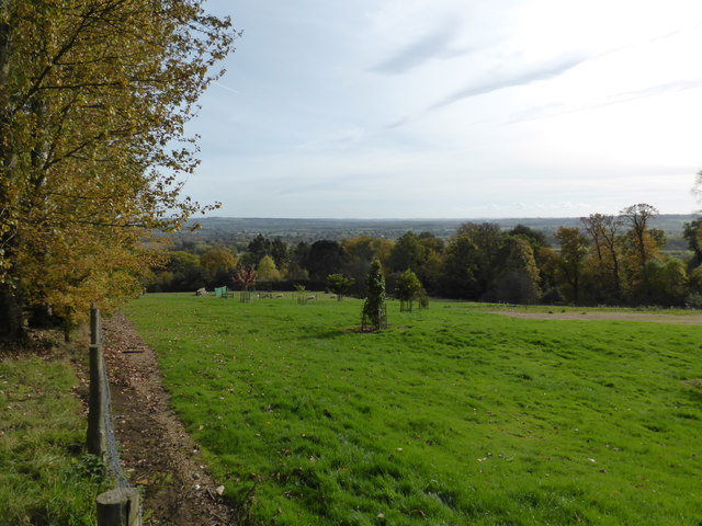
The village is known for its idyllic setting, surrounded by rolling hills and beautiful countryside. It is home to a small population of around 300 people, giving it a close-knit and friendly community atmosphere. The parish covers an area of approximately 1,400 acres.
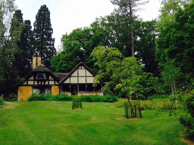
One of the notable features of Bourton-on-the-Hill is its charming stone cottages and traditional architecture, which add to its quintessential Cotswold charm. The village also boasts a Grade I listed church, St. Lawrence's Church, which dates back to the 12th century and is known for its stunning stained glass windows.
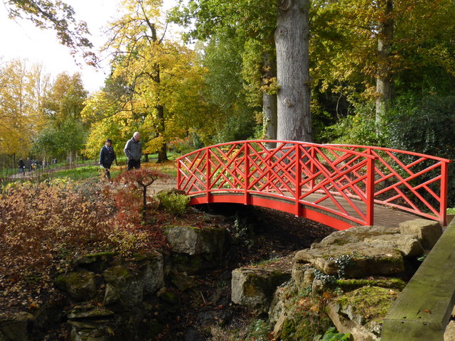
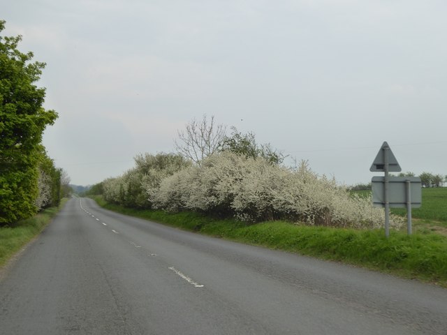
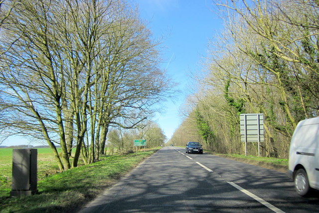
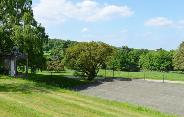
The village is a popular destination for tourists, who come to enjoy the scenic walks and cycling routes that traverse the area. The nearby Cotswold Way, a long-distance footpath, passes through Bourton-on-the-Hill, offering visitors the opportunity to explore the surrounding countryside.
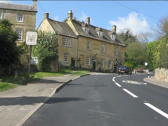
In terms of amenities, Bourton-on-the-Hill has a village hall, which serves as a community hub for various events and activities. There is also a pub, The Horse and Groom, where locals and visitors can enjoy a drink or a meal.
Overall, Bourton-on-the-Hill is a charming and picturesque village, offering a peaceful and scenic retreat for residents and visitors alike.
If you have any feedback on the listing, please let us know in the comments section below.
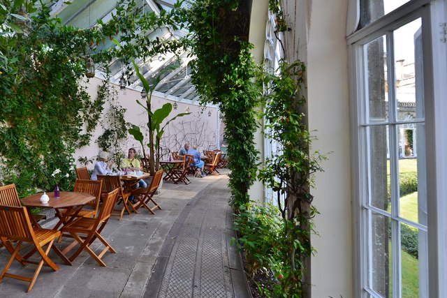
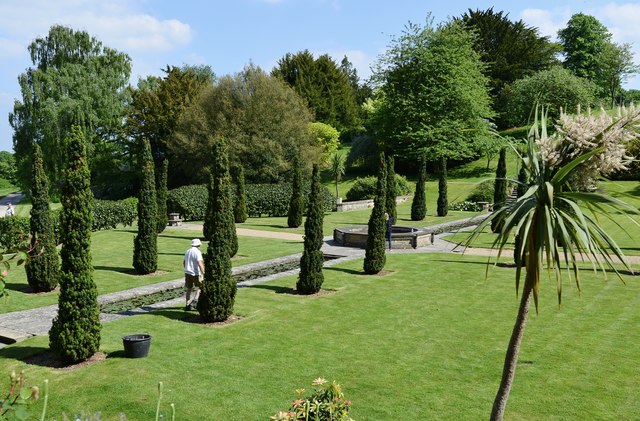
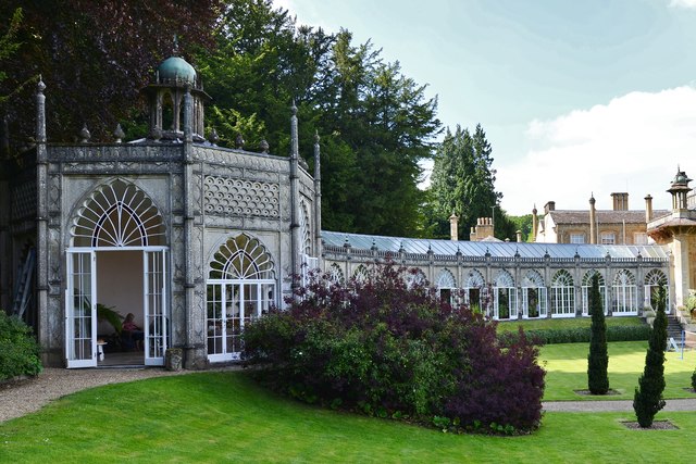
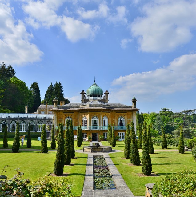
Bourton-on-the-Hill Images
Images are sourced within 2km of 51.992016/-1.760044 or Grid Reference SP1632. Thanks to Geograph Open Source API. All images are credited.

Bourton-on-the-Hill is located at Grid Ref: SP1632 (Lat: 51.992016, Lng: -1.760044)
Administrative County: Gloucestershire
District: Cotswold
Police Authority: Gloucestershire
What 3 Words
///stored.footballers.thundered. Near Blockley, Gloucestershire
Nearby Locations
Related Wikis

Church of St Lawrence, Bourton-on-the-Hill
The Anglican Church of St Lawrence at Bourton-on-the-Hill in the Cotswold District of Gloucestershire, England was built in the 12th century. It is a grade...
Bourton-on-the-Hill
Bourton-on-the-Hill is a village and civil parish in the Cotswold district of Gloucestershire, England, and about 2 miles (3 km) west of Moreton-in-Marsh...
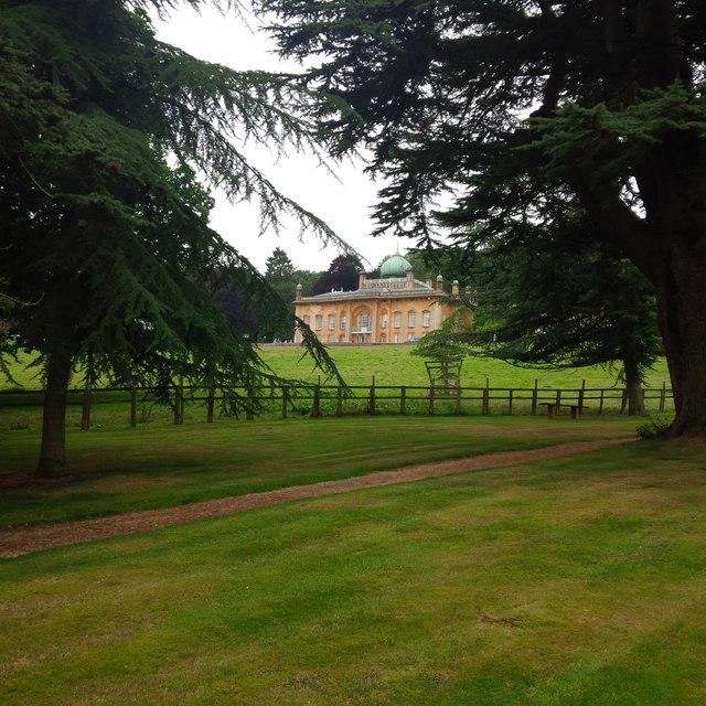
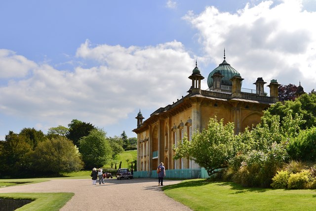
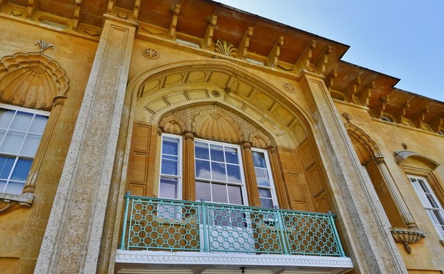
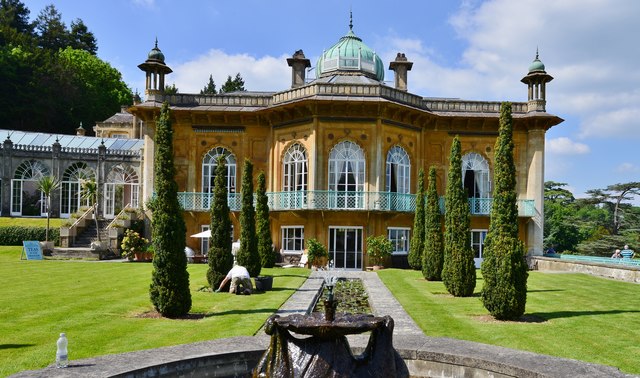
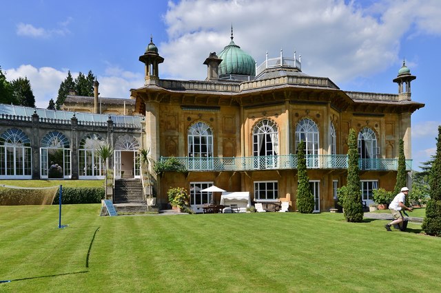
Sezincote House
Sezincote House (pronounced seas in coat) is the centre of a country estate in the civil parish of Sezincote, in the county of Gloucestershire, England...
Sezincote (settlement)
Sezincote or Seasoncote is a settlement and civil parish comprising Sezincote House and its estate, situated about 3 miles from Stow-on-the-Wold in the...

Blockley
Blockley is a village, civil parish and ecclesiastical parish in the Cotswold district of Gloucestershire, England, about 3 miles (5 km) northwest of Moreton...

Batsford
Batsford is a village and civil parish in the Cotswold district of Gloucestershire, England. The village is about 1½ miles north-west of Moreton-in...
Batsford Arboretum
Batsford Arboretum is a 55-acre (220,000 m2) arboretum and botanical garden near Batsford in Gloucestershire, England, about 1½ miles north-west of Moreton...
Bourton Down
Bourton Down (grid reference SP142313) is an 11.17-hectare (27.6-acre) biological Site of Special Scientific Interest near Bourton-on-the-Hill in Gloucestershire...
Nearby Amenities
Located within 500m of 51.992016,-1.760044Have you been to Bourton-on-the-Hill?
Leave your review of Bourton-on-the-Hill below (or comments, questions and feedback).