Bourton Clump

Downs, Moorland in Gloucestershire Cotswold

England

Bourton Clump

Batsford Arboretum - viewpoint Looking over the boundary fence at one of the corners of the arboretum.
Batsford Arboretum - viewpoint Credit: Chris Allen

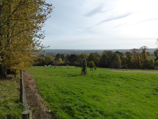
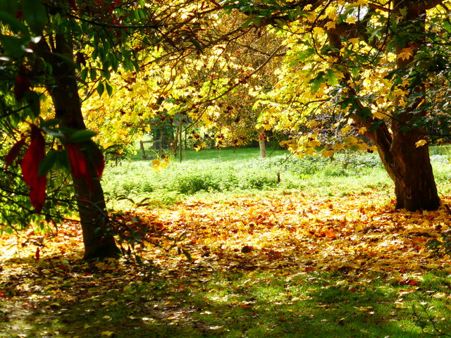
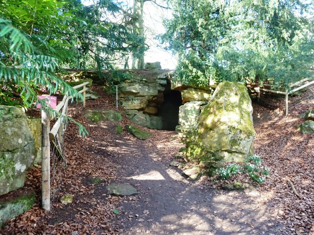
Bourton Clump is a prominent natural landmark located in Gloucestershire, England. Situated on the edge of the picturesque Cotswolds, this area boasts a diverse landscape comprising of downs and moorland. The clump itself is a small hill covered in a dense forest of mixed deciduous and coniferous trees.

The clump is a popular destination for nature enthusiasts and outdoor enthusiasts due to its stunning scenery and extensive network of walking trails. The paths wind through the woods, providing visitors with the opportunity to immerse themselves in the peaceful surroundings and explore the area at their own pace.

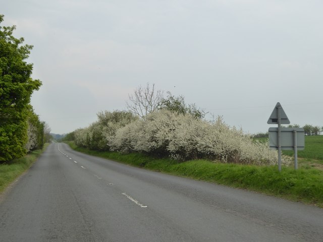
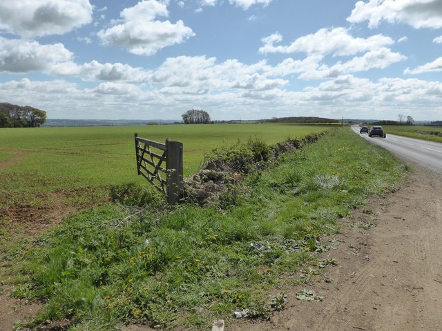
One of the main attractions of Bourton Clump is the panoramic views it offers from its summit. From the top, visitors can admire the rolling hills of the Cotswolds, the nearby Bourton-on-the-Water village, and the expansive countryside beyond.

The clump is also known for its biodiversity, with a wide variety of flora and fauna calling it home. The diverse range of trees provides a habitat for several bird species, making it a great spot for birdwatching. In addition, the open moorland areas attract butterflies and other insects, adding to the natural beauty of the site.

Overall, Bourton Clump in Gloucestershire is a captivating natural area that showcases the beauty of the Cotswolds. With its verdant forests, picturesque views, and abundant wildlife, it offers visitors a tranquil escape into nature.

If you have any feedback on the listing, please let us know in the comments section below.

Bourton Clump Images

Images are sourced within 2km of 51.988612/-1.7553635 or Grid Reference SP1632. Thanks to Geograph Open Source API. All images are credited.

Batsford Arboretum - viewpoint Looking over the boundary fence at one of the corners of the arboretum.
Batsford Arboretum - viewpoint
Looking over the boundary fence at one of the corners of the arboretum.
Autumn colours - Batsford Arboretum
Batsford Arboretum - red bridge This rather oriental looking bridge crosses the stream just above Sister's Pool.
Batsford Arboretum - red bridge
This rather oriental looking bridge crosses the stream just above Sister's Pool.
Batsford arboretum Batsford arboretum, Cotswolds
Batsford arboretum
Batsford arboretum, Cotswolds
Falcon ready to fly
Falcon ready to fly
The Hermit's Cave at Batsford Arboretum Located in the western corner of the Arboretum.
The Hermit's Cave at Batsford Arboretum
Located in the western corner of the Arboretum.
Blossom on Five Mile Drive (A424)
B4479 Junction A minor road from Batsford joins the B4479 from Blockley.
B4479 Junction
A minor road from Batsford joins the B4479 from Blockley.
Crop field next to A424 near Sezincote House
Sezincote House
Sezincote House
Sezincote House northern aspect
Sezincote House architectural detail 1
Sezincote House from the Persian Garden
Sezincote House: The Orangery tea room
Sezincote House: The Persian Garden
Sezincote House: The Orangery
Sezincote House and Persian Garden
Show me another place!

Bourton Clump is located at Grid Ref: SP1632 (Lat: 51.988612, Lng: -1.7553635)

Administrative County: Gloucestershire

District: Cotswold

Police Authority: Gloucestershire

What 3 Words

///video.mile.tightrope. Near Blockley, Gloucestershire

Related Wikis

Church of St Lawrence, Bourton-on-the-Hill

The Anglican Church of St Lawrence at Bourton-on-the-Hill in the Cotswold District of Gloucestershire, England was built in the 12th century. It is a grade...

Bourton-on-the-Hill

Bourton-on-the-Hill is a village and civil parish in the Cotswold district of Gloucestershire, England, and about 2 miles (3 km) west of Moreton-in-Marsh...
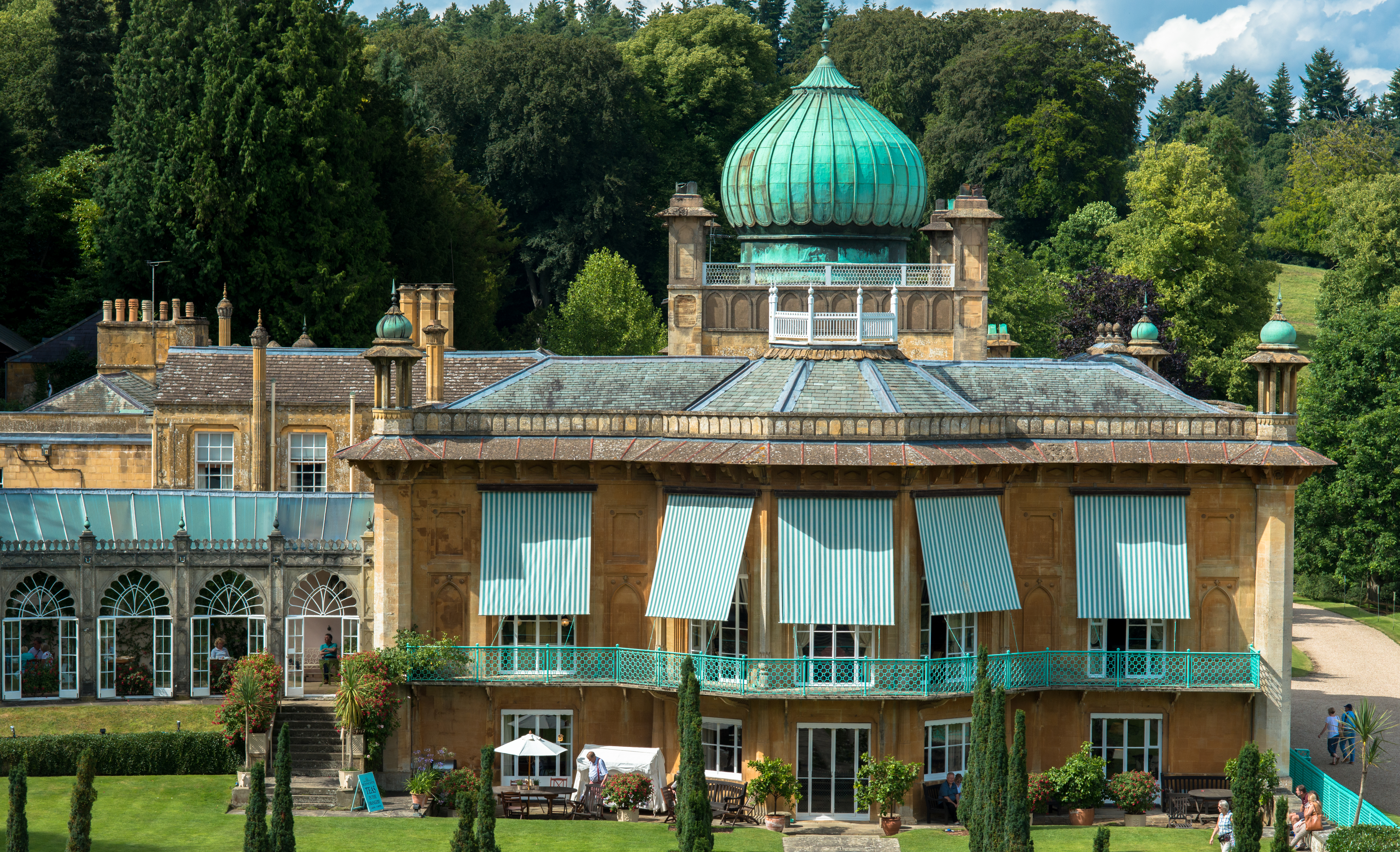
Sezincote House

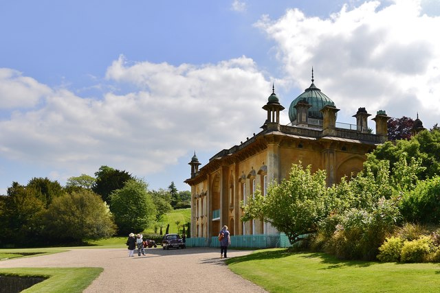
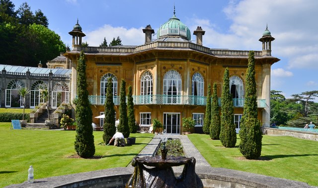
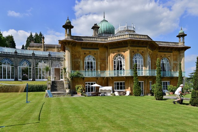
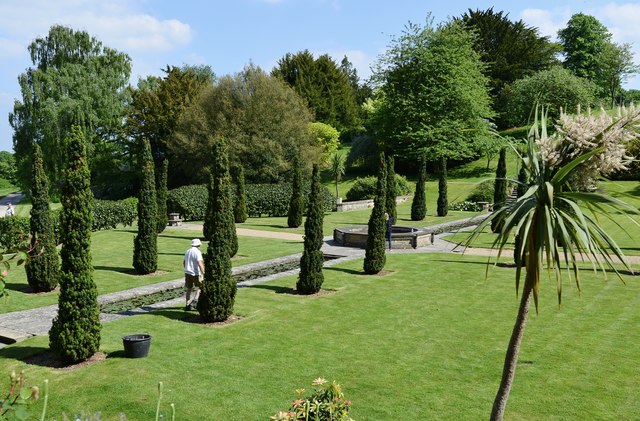
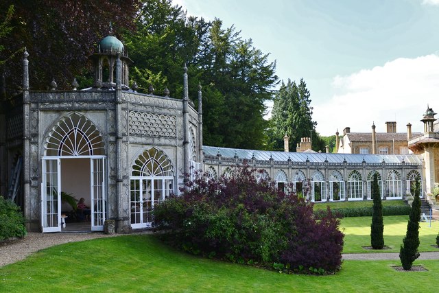
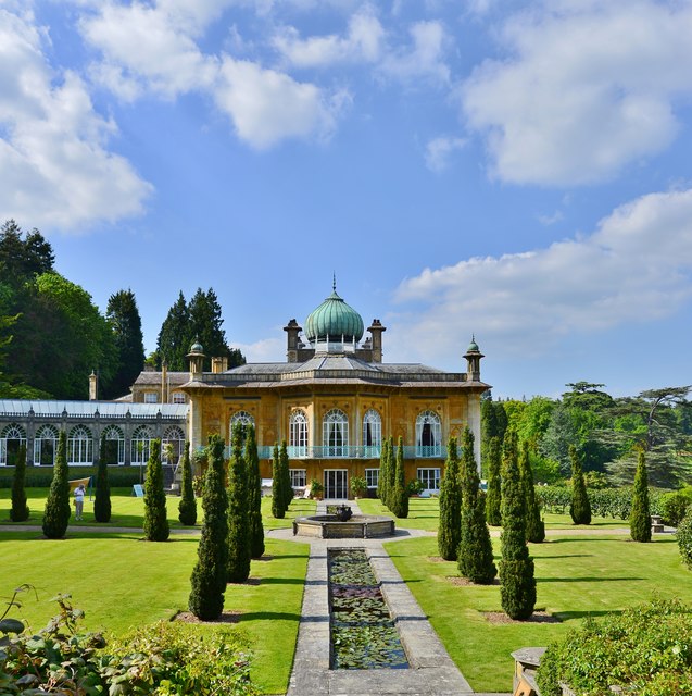
Sezincote House (pronounced seas in coat) is the centre of a country estate in the civil parish of Sezincote, in the county of Gloucestershire, England...

Sezincote (settlement)

Sezincote or Seasoncote is a settlement and civil parish comprising Sezincote House and its estate, situated about 3 miles from Stow-on-the-Wold in the...

Batsford

Batsford is a village and civil parish in the Cotswold district of Gloucestershire, England. The village is about 1½ miles north-west of Moreton-in...

Batsford Arboretum

Batsford Arboretum is a 55-acre (220,000 m2) arboretum and botanical garden near Batsford in Gloucestershire, England, about 1½ miles north-west of Moreton...

St James' Church, Longborough

St James' Church is the Church of England parish church of Longborough, Gloucestershire, England. It is in the deanery of Stow, the archdeaconry of Cheltenham...
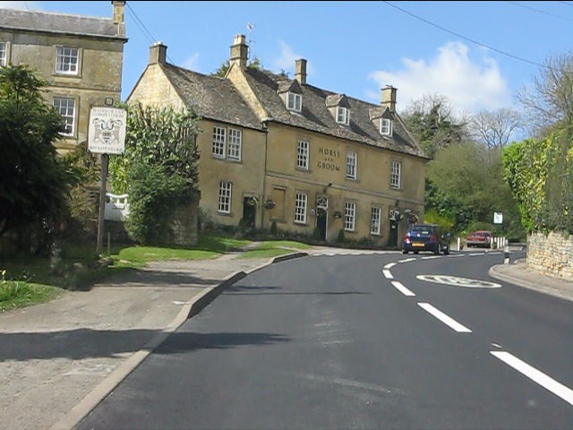
Blockley

Blockley is a village, civil parish and ecclesiastical parish in the Cotswold district of Gloucestershire, England, about 3 miles (5 km) northwest of Moreton...

Nearby Amenities

Located within 500m of 51.988612,-1.7553635
Bus Stop
Quarry House
Bus: yes
Naptan AtcoCode: 1600GLC503
Naptan Bearing: W
Naptan CommonName: Quarry House
Naptan NaptanCode: glogdwmw
Naptan Street: A44
Naptan Verified: no
Public Transport: platform
Source: naptan_import
Lat/Long: 51.9919979/-1.75553
Bus Stop
Quarry House
Bus: yes
Naptan AtcoCode: 1600GLC504
Naptan Bearing: E
Naptan CommonName: Quarry House
Naptan NaptanCode: glogdwmp
Naptan Street: A44
Naptan Verified: no
Public Transport: platform
Source: naptan_import
Lat/Long: 51.9921594/-1.7558035
Budgens
Addr Postcode: GL56 9AJ
Brand: Budgens
Brand Wikidata: Q4985016
Opening Hours: 24/7
Shop: convenience
Website: https://www.budgens.co.uk/our-stores/cotswolds-service-station-0
Lat/Long: 51.991915/-1.7553399
Post Box
Post Box Type: lamp
Ref: GL56 115
Royal Cypher: EIIR
Royal Cypher Wikidata: Q33102113
Lat/Long: 51.9921529/-1.7557231
Power: pole
Lat/Long: 51.9851677/-1.7553021
Power: pole
Lat/Long: 51.9860901/-1.7553016
Power: pole
Lat/Long: 51.9870273/-1.7552819
Power: pole
Lat/Long: 51.9880947/-1.755279
Power: pole
Lat/Long: 51.9891593/-1.7552853
Power: pole
Lat/Long: 51.9901901/-1.7552804
Power: pole
Lat/Long: 51.9892063/-1.7535944
Power: pole
Lat/Long: 51.9892426/-1.751661
Rectory Farm
Power: pole
Transformer: distribution
Voltage Primary: 11000
Lat/Long: 51.9869885/-1.7543973
Power: pole
Lat/Long: 51.9867995/-1.7537614
Power: pole
Lat/Long: 51.9866196/-1.7531602
Power: pole
Lat/Long: 51.9887619/-1.7483845
Power: pole
Lat/Long: 51.9889387/-1.7495433
Power: pole
Lat/Long: 51.9890931/-1.7506202
Power: pole
Lat/Long: 51.9842838/-1.7553301
Bourton On The Hill
Power: pole
Transformer: distribution
Voltage Primary: 11000
Lat/Long: 51.9911845/-1.7496505
Power: pole
Lat/Long: 51.9912362/-1.7500656
Power: pole
Lat/Long: 51.992223/-1.7512625
Power: pole
Lat/Long: 51.9919266/-1.7512981
Power: pole
Lat/Long: 51.9914232/-1.7513625
High Beeches
Power: pole
Transformer: distribution
Voltage Primary: 11000
Lat/Long: 51.9916247/-1.7527384
Power: pole
Lat/Long: 51.9913836/-1.7541312
Power: pole
Lat/Long: 51.9915479/-1.7537476
New House
Power: pole
Transformer: distribution
Voltage Primary: 11000
Lat/Long: 51.9908992/-1.7544168
Bourton Quarry
Power: pole
Transformer: distribution
Voltage Primary: 11000
Lat/Long: 51.9914026/-1.7554602
Power: pole
Lat/Long: 51.9907493/-1.7546039
Location Transition: yes
Power: pole
Lat/Long: 51.9864775/-1.7528665
The data included in this document is from www.openstreetmap.org. The data is made available under ODbL.

Have you been to Bourton Clump?

Leave your review of Bourton Clump below (or comments, questions and feedback).