Bourton
Civil Parish in Berkshire Vale of White Horse
England
Bourton
Bourton is a civil parish located in the county of Berkshire, England. It is situated about 6 miles south of the town of Lambourn and approximately 11 miles northeast of the historic city of Newbury. The parish covers an area of around 4 square miles and has a population of approximately 500 people.
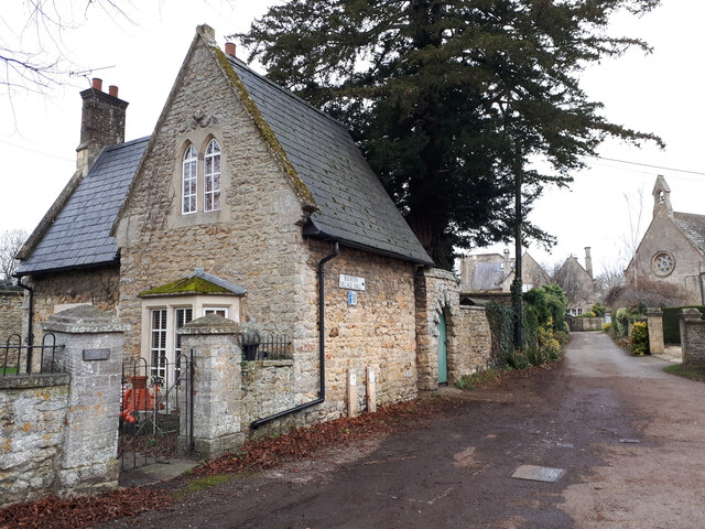
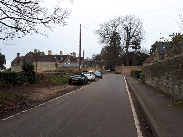
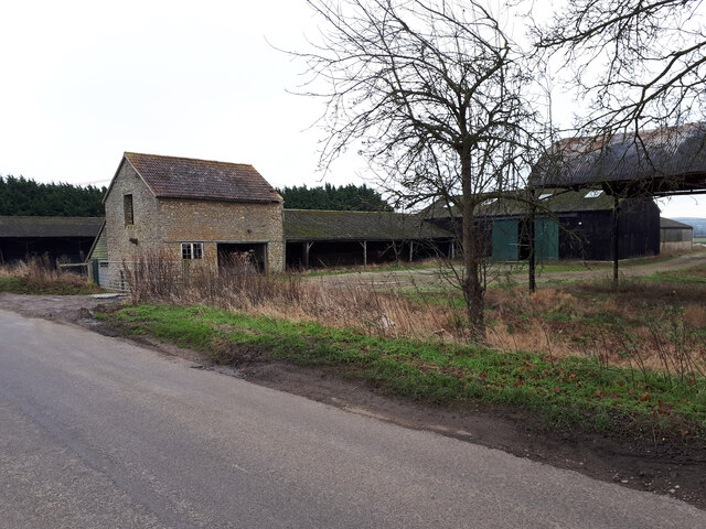
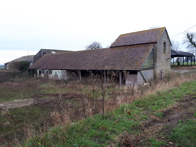
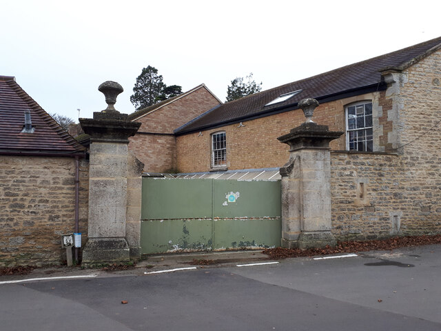
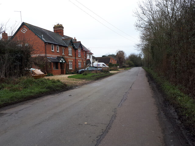
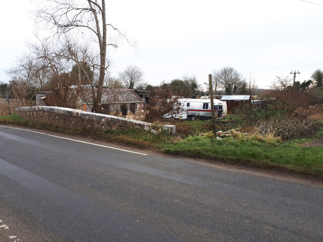
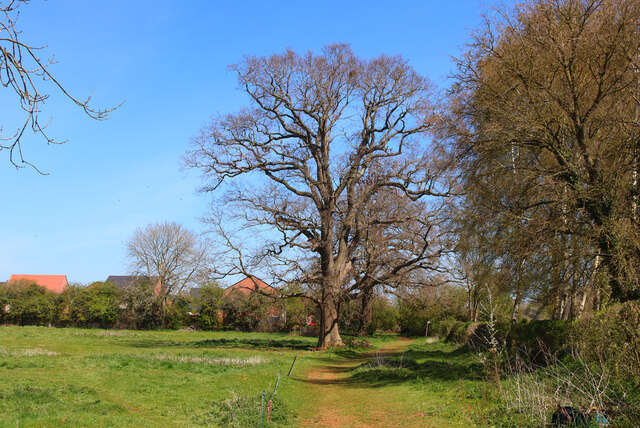
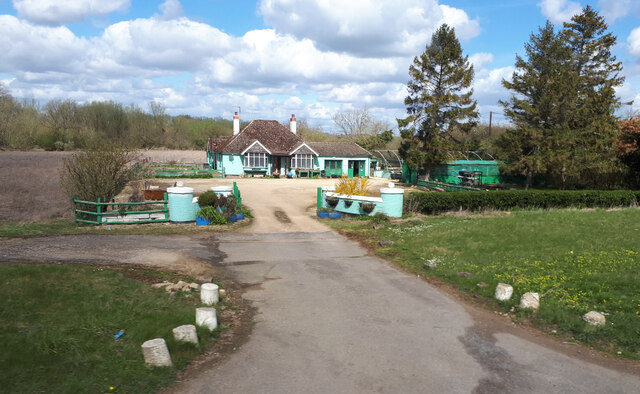
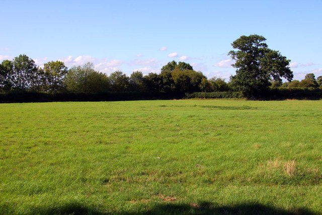
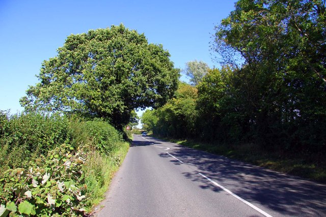
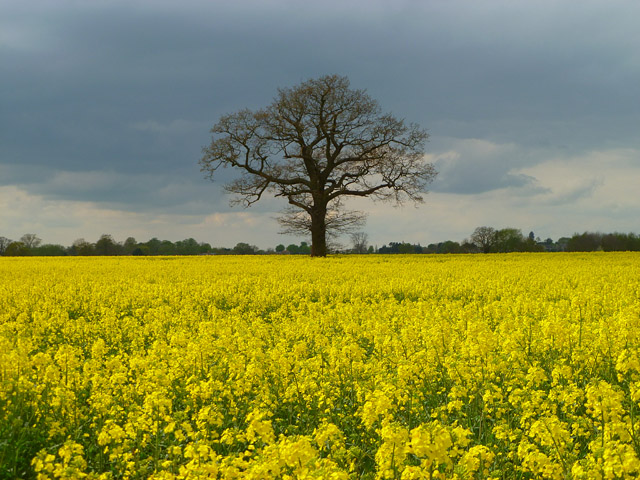
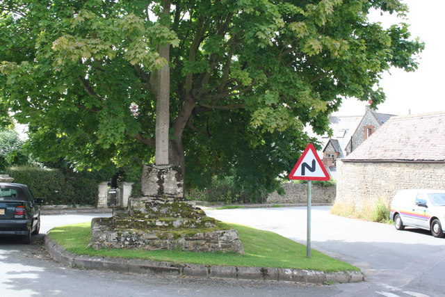
The village of Bourton is a picturesque and charming settlement that is surrounded by beautiful countryside. It is known for its traditional thatched cottages, historic buildings, and tranquil atmosphere. The parish is predominantly rural, with a mix of farmland, woodlands, and meadows.
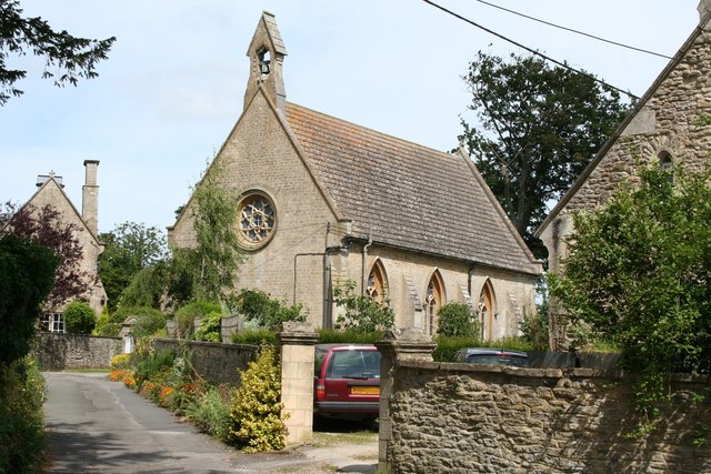
Bourton has a rich history that dates back to the medieval period. The village was mentioned in the Domesday Book of 1086, and some of its buildings, such as the 13th-century St. James' Church, still stand today. The area has also been influenced by the agricultural industry, with farming playing an important role in the local economy.
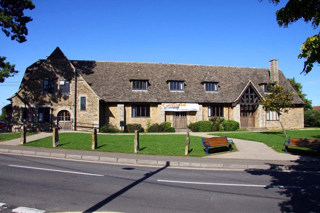
Despite its small size, Bourton offers a range of amenities for its residents. These include a village hall, a primary school, and a traditional pub where locals and visitors can enjoy a meal or a drink. The surrounding countryside provides opportunities for outdoor activities such as walking, cycling, and horse riding.
Overall, Bourton is a picturesque and historic village that offers a peaceful and rural lifestyle for its residents. Its natural beauty and sense of community make it an attractive place to live or visit.
If you have any feedback on the listing, please let us know in the comments section below.
Bourton Images
Images are sourced within 2km of 51.582837/-1.671972 or Grid Reference SU2287. Thanks to Geograph Open Source API. All images are credited.
Bourton is located at Grid Ref: SU2287 (Lat: 51.582837, Lng: -1.671972)
Administrative County: Oxfordshire
District: Vale of White Horse
Police Authority: Thames Valley
What 3 Words
///commented.hammocks.contour. Near Shrivenham, Oxfordshire
Nearby Locations
Related Wikis

Bourton, Vale of White Horse
Bourton is a village and civil parish in the Vale of White Horse, England, about 4 miles (6.4 km) southeast of Highworth in neighbouring Wiltshire. Bourton...
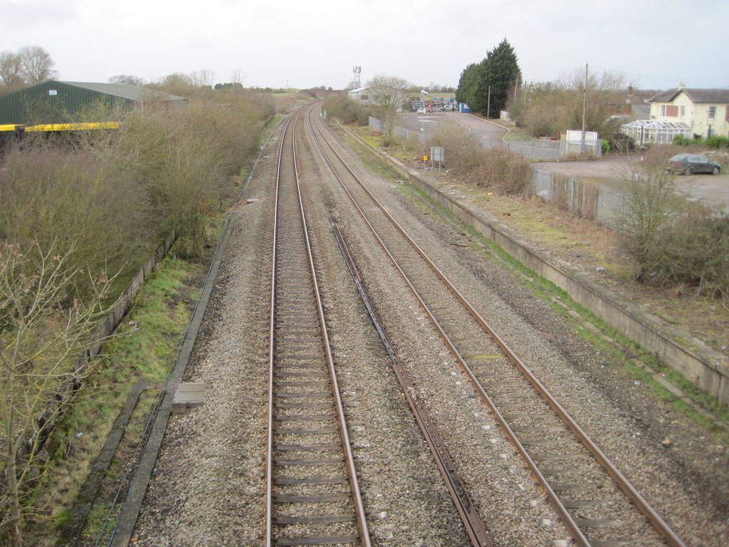
Shrivenham railway station
Shrivenham railway station was a station on the Great Western Main Line serving the village of Shrivenham in what was then part of Berkshire. == History... ==

Shrivenham
Shrivenham is a village and civil parish in the Vale of White Horse, Oxfordshire, England, about 5 miles (8 km) south-west of Faringdon. The village is...

Shrivenham F.C.
Shrivenham F.C. is a football club based in Shrivenham, an Oxfordshire village, near Swindon, England. They play in the Wiltshire League Premier Division...
Henry Curling
Colonel Henry Thomas Curling (27 July 1847 – 1 January 1910) was a Royal Artillery officer of the British Army who served between 1868 and 1902. He fought...

Beckett Hall
Beckett Hall (or Beckett House) is a country house at Shrivenham in the English county of Oxfordshire (formerly in Berkshire). The present house dates...
Royal Army Chaplains' Museum
The Royal Army Chaplains' Museum (formerly the Museum of Army Chaplaincy) tells the story of British Army chaplaincy from earliest times to the present...

Defence Academy of the United Kingdom
The Defence Academy of the United Kingdom provides higher education for personnel in the British Armed Forces, Civil Service, other government departments...
Nearby Amenities
Located within 500m of 51.582837,-1.671972Have you been to Bourton?
Leave your review of Bourton below (or comments, questions and feedback).